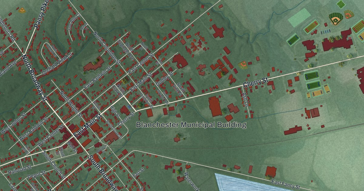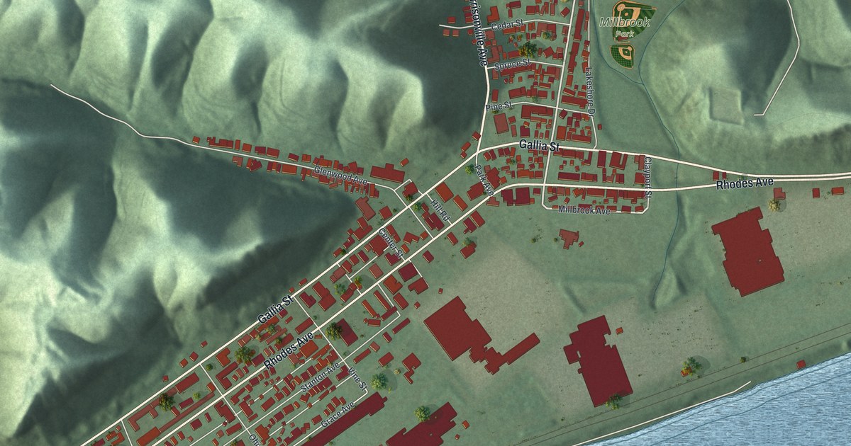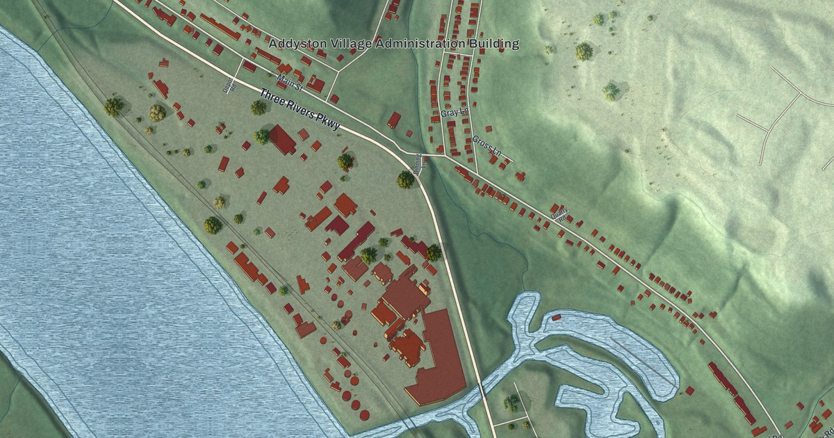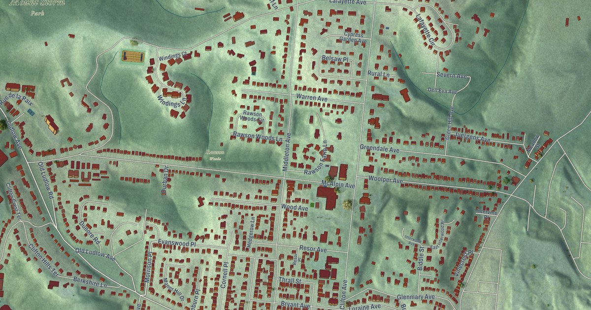
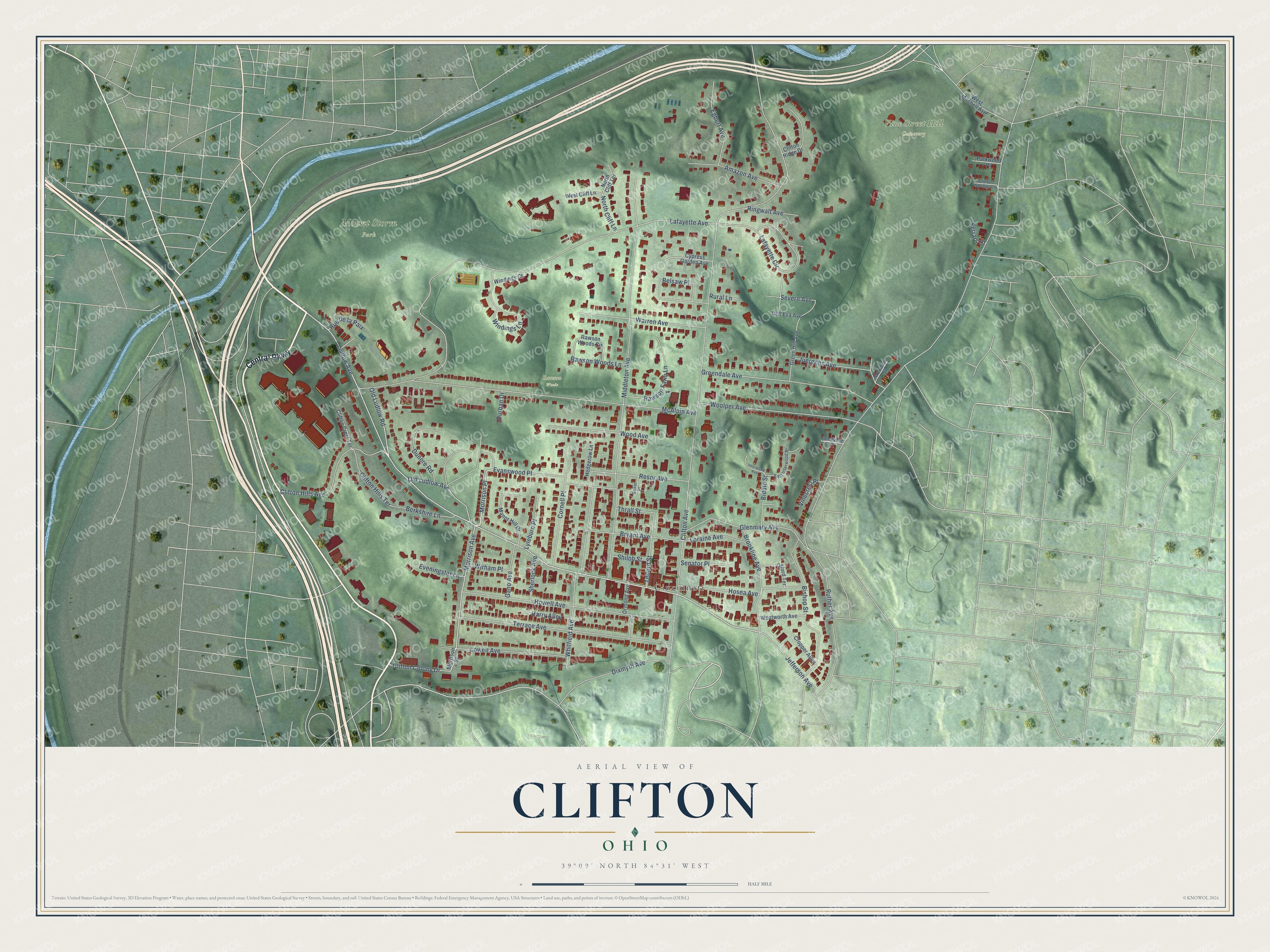
This beautifully detailed map of Clifton, Ohio was created in 2026 using aerial imagery combined with modern topographical, census, street and landmark data. It’s a one-of-a-kind view of Clifton that combines accurate data with a vintage aesthetic. The map shows every building in its true location, many of the roads carry their names, and the shaded topographic relief shows the shape of the land.
Explore an aerial view of Clifton, Ohio
On the map you’ll find Mount Storm Park, Rawson Woods, Vine Street Hill Cemetery, Cincinnati, Evanswood Place, and Morrison Place, along with Central Parkway, Ludlow Avenue, Morrison Avenue, Clifton Avenue, Lafayette Avenue, Middleton Avenue, and more. If you look closely you can even find your house accurately drawn in its correct location. Zoom in on the preview to look for yours.
Did You Know?
From Internet Archive: "About 1836 Peter Knot had a tanyard in operation along this stream north of Clifton and a saw-mill was conducted in connection therewith."
Clifton is a place in Hamilton County.
Take a closer look at the Clifton map
Names on this map
These names are printed on this map.
Places: Mount Storm Park, Rawson Woods, Vine Street Hill Cemetery and Cincinnati.
Streets and roads: Central Parkway, Evanswood Place, Morrison Place, Ludlow Avenue, Morrison Avenue, Clifton Avenue, Lafayette Avenue, Middleton Avenue, McAlpin Avenue, Howell Avenue, Terrace Avenue, Whitfield Avenue.
More street names, A to Z
Amazon Avenue, Belsaw Place, Berkshire Lane, Biddle Street, Bishop Street, Brookline Avenue, Bryant Avenue, Clifton Colony Drive, Clifton Crest Terrace, Clifton Hills Avenue, Clifton Hills Terrace, Clifton Ridge Drive, Clinton Springs Lane, Cornell Place, Cropper Alley, Cypress Garden Avenue, Dell Eva Avenue, Dixmyth Avenue, Dunore Road, Durban Drive, East Interwood Place, Egbert Avenue, Eveningstar Lane, Ferrars Court, Gano Avenue, Glenmary Avenue, Greendale Avenue, Green Hill Avenue, Harry Alley, Hedgerow Lane, Hosea Avenue, Intervine Place, Interwood Avenue, Jefferson Avenue, Juergens Avenue, Lafayette Circle, Loraine Avenue, Lowell Avenue, Lyleburn Place, Manor Hill Drive, Meadow Street, Morrison Street, North Cliff Lane, North Cliff Terrace, Old Ludlow Avenue, Old Ludlow Road, Ormond Avenue, Oxford Terrace, Parkwood Place, Rawson Farm Lane, Rawson Woods Circle, Rawson Woods Lane, Resor Avenue, Resor Place, Ringwalt Avenue, Rue de la Paix, Rural Lane, Ruther Avenue, Senator Place, Severn Avenue, Sherlock Avenue, Shiloh Street, Telford Street, Thrall Street, Vinecrest Place, Warren Avenue, Wentworth Avenue, West Cliff Lane, West Mitchell Avenue, Windings Court, Windings Lane, Wirham Place, Wood Avenue, Woolper Avenue.
See it on a wall
The Clifton, Cincinnati map as a framed print. Swipe for more.


This beautifully detailed map of Clifton, Cincinnati makes an attractive addition to your office, library, or den, and it can even be used to teach children the geography and history of the area. It also makes a great gift for anyone who grew up in Clifton or moved away. When you’re done exploring, click here to get your copy of the Clifton, Cincinnati map.