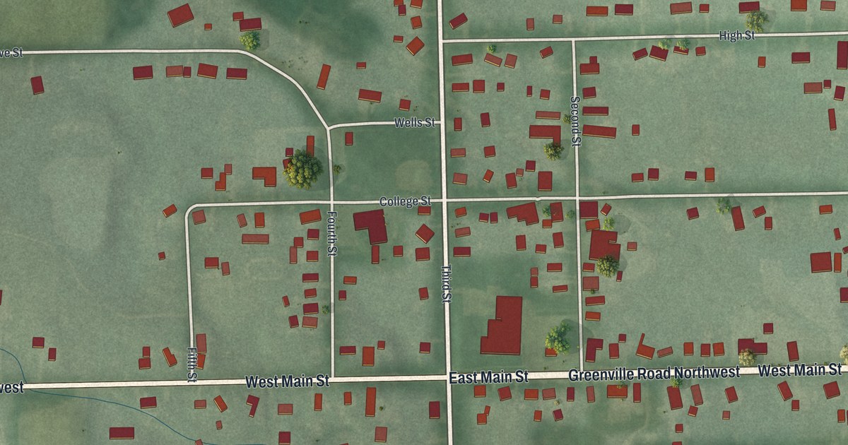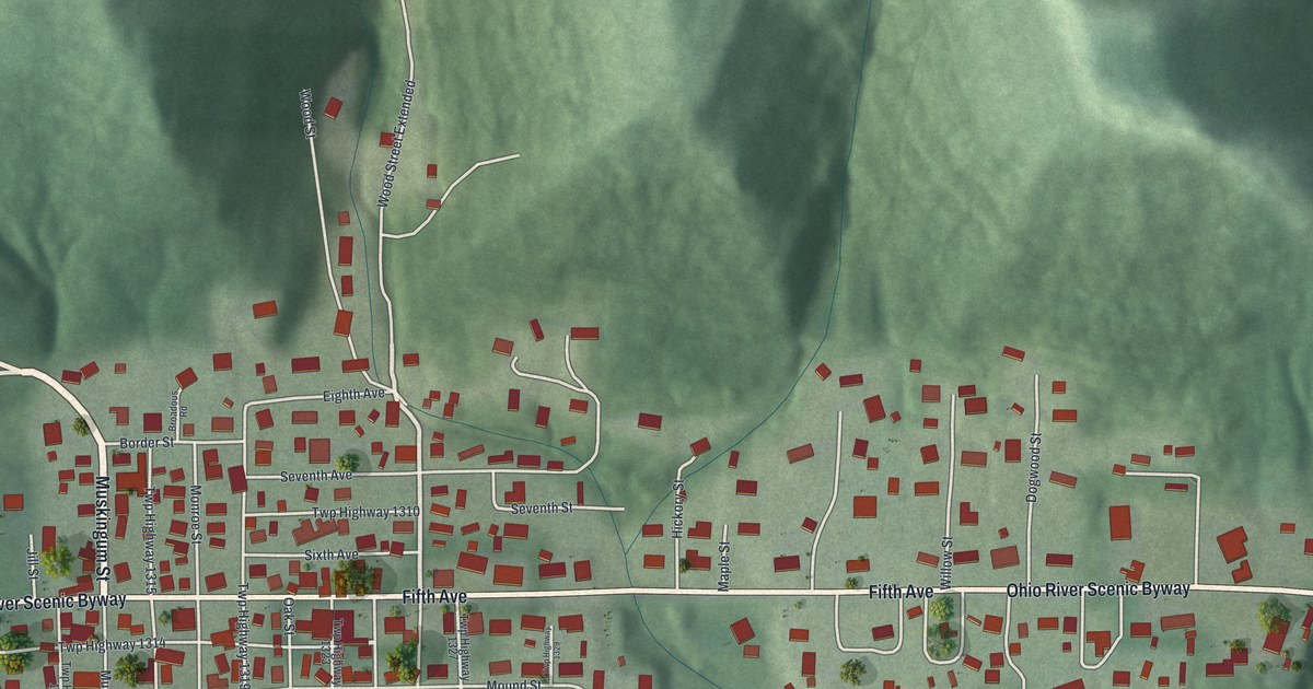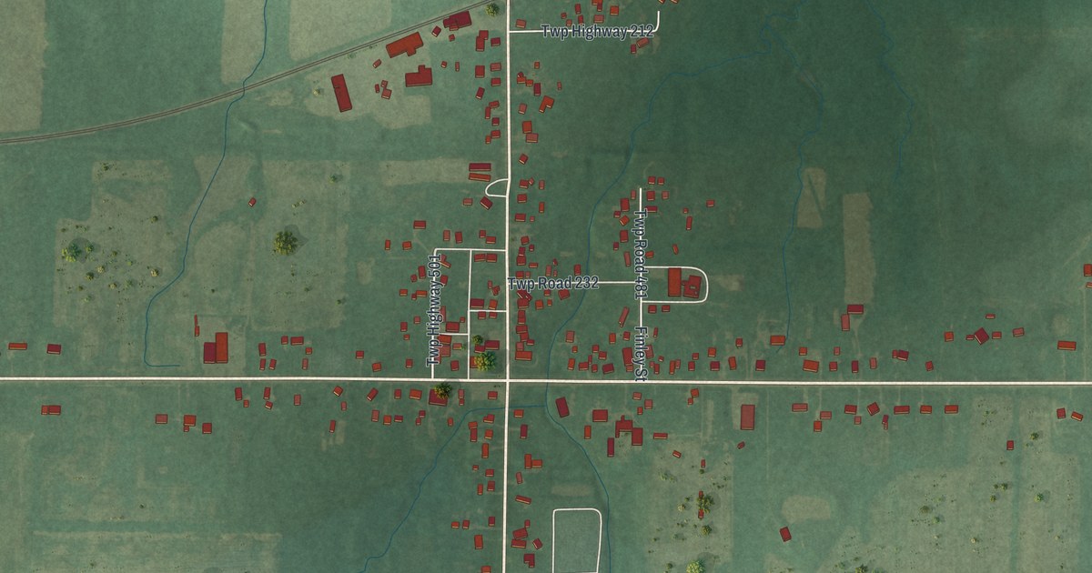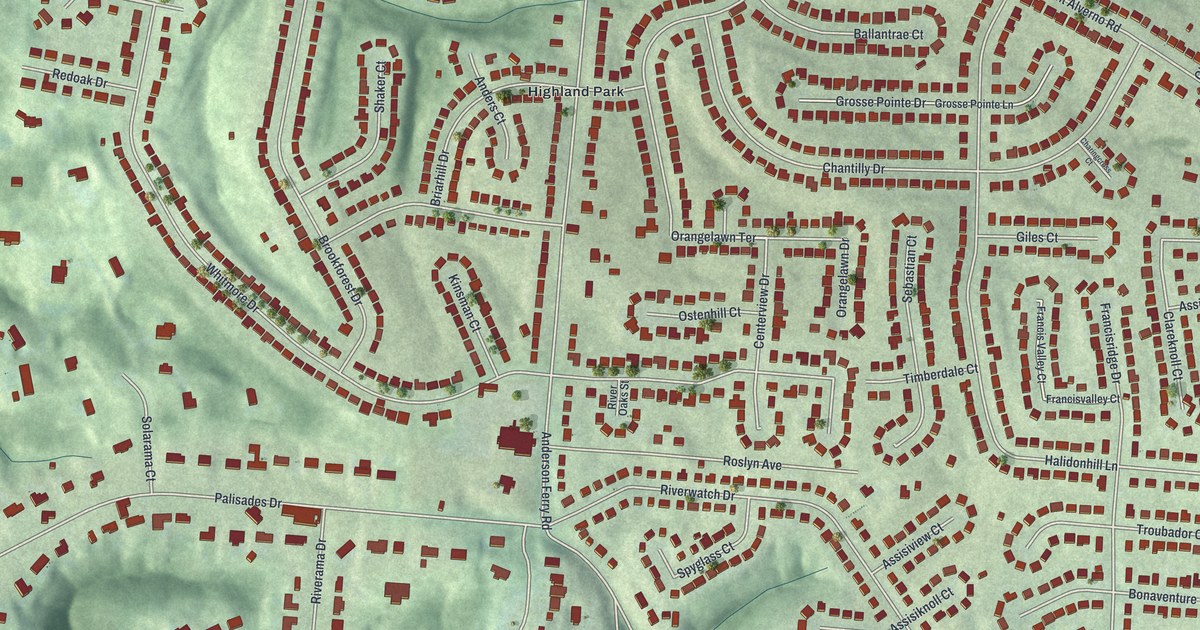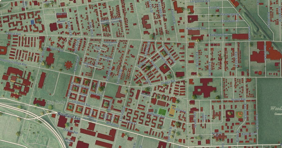
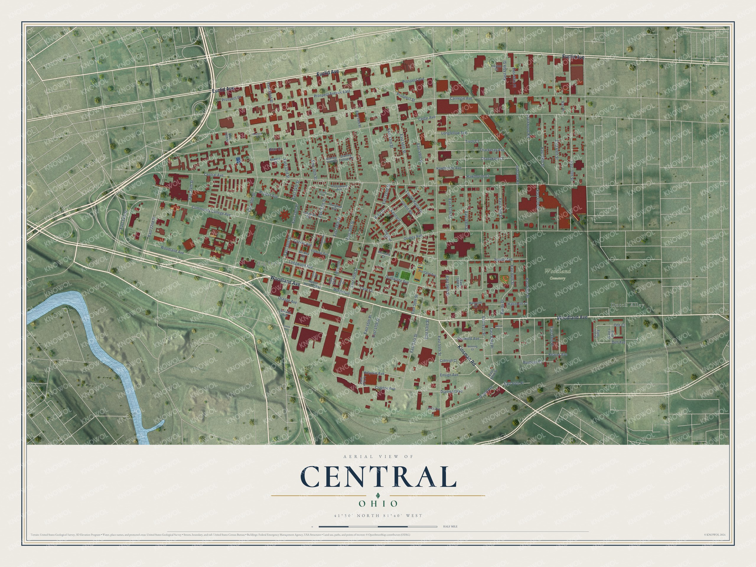
This beautifully detailed map of Central, Ohio was created in 2026 using aerial imagery combined with modern topographical, census, street and landmark data. It’s a one-of-a-kind view of Central that combines accurate data with a vintage aesthetic. The map shows every building in its true location, many of the roads carry their names, and the shaded topographic relief shows the shape of the land.
Explore an aerial view of Central, Ohio
On the map you’ll find Woodland Cemetery and Big Italy, along with Dutch Alley, Woodland Avenue, Euclid Avenue, Kinsman Road, East 34th Street, Longwood Avenue, Community College Avenue, East 35th Street, Bundy Drive, Outhwaite Avenue, and more. If you look closely you can even find your house accurately drawn in its correct location. Zoom in on the preview to look for yours.
Did You Know?
From Internet Archive: "William Nast, the first German missionary of the Methodist Episcopal Church, traveled through Central Ohio from the river to the lake, preaching to the few from the Fatherland who had settled in this Western country."
Central is a place in Cuyahoga County.
Take a closer look at the Central map
Names on this map
These names are printed on this map.
Places: Woodland Cemetery, Big Italy and Dutch Alley.
Streets and roads: Woodland Avenue, Euclid Avenue, Kinsman Road, East 34th Street, Longwood Avenue, Community College Avenue, East 35th Street, Bundy Drive, Outhwaite Avenue, East 35th Place, Crayton Avenue, East 62nd Place.
More street names, A to Z
Ali-Bey Street, Ashland Road, Beaver Avenue, Bivens Drive, Blair Court, Bohn Court, Burwell Avenue, Bushnell Court, Capers Avenue, Carnegie Avenue, Case Court, Cedar Avenue, Central Avenue, Ceylon Court, Chadakoin Court, Chestnut Place, Clarkwood Road, Cobleigh Court, Croton Avenue, Dell Avenue, Diamond Avenue, Dillard Street, East 14th Street, East 22nd Street, East 24th Street, East 28th Street, East 30th Street, East 32nd Street, East 33rd Street, East 36th Street, East 37th Street, East 38th Street, East 39 Street, East 39th Place, East 39th Street, East 40th Street, East 42nd Street, East 43rd Street, East 45th Place, East 46th Street, East 47th Place, East 47th Street, East 49th Street, East 50th Street, East 51st Street, East 53rd Street, East 55th Street, East 56th Street, East 57th Street, East 58th Place, East 59th Street, East 61st Street, East 62nd Street, East 63rd Street, East 64th Place, East 64th Street, East 65th Street, East 66th Place, East 66th Street, East 67th Street, East 68th Place, East 68th Street, East 69th Street, East 70th Street, East 71st Street, East 73rd Street, Ensign Avenue, Fleming Avenue, Grand Avenue, Greenwood Avenue, Griswold Avenue, Halnorth Court, Haltnorth Court, Hawthorne Avenue, Hawthorne Court, Holyoke Avenue, Jellife Avenue, Julia Avenue, Kennard, Kennard Court, Langston Avenue, Longfellow Avenue, Louise Harris Drive, Mount Hermon Avenue, Mthermon, Newton Court, Orange Avenue, Otis Court, Portland Avenue, Project Avenue, Prospect Avenue, Prospect Avenue East, Prospect Court, Prospect Street, Quincy Avenue, Scovill Avenue, Shepherd Court, Stanley Tolliver, Stanley Tolliver Drive, Stirling Court, Thackeray Avenue, Thurgood Avenue, Tivoli Court, Triedstone Street, Unwin Road, Van Place, Venning Court, Willcut Court.
See it on a wall
The Central map as a framed print. Swipe for more.


This beautifully detailed map of Central makes an attractive addition to your office, library, or den, and it can even be used to teach children the geography and history of the area. It also makes a great gift for anyone with Central roots. When you’re done exploring, click here to get your copy of the Central map.