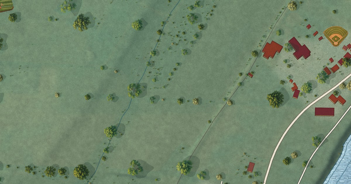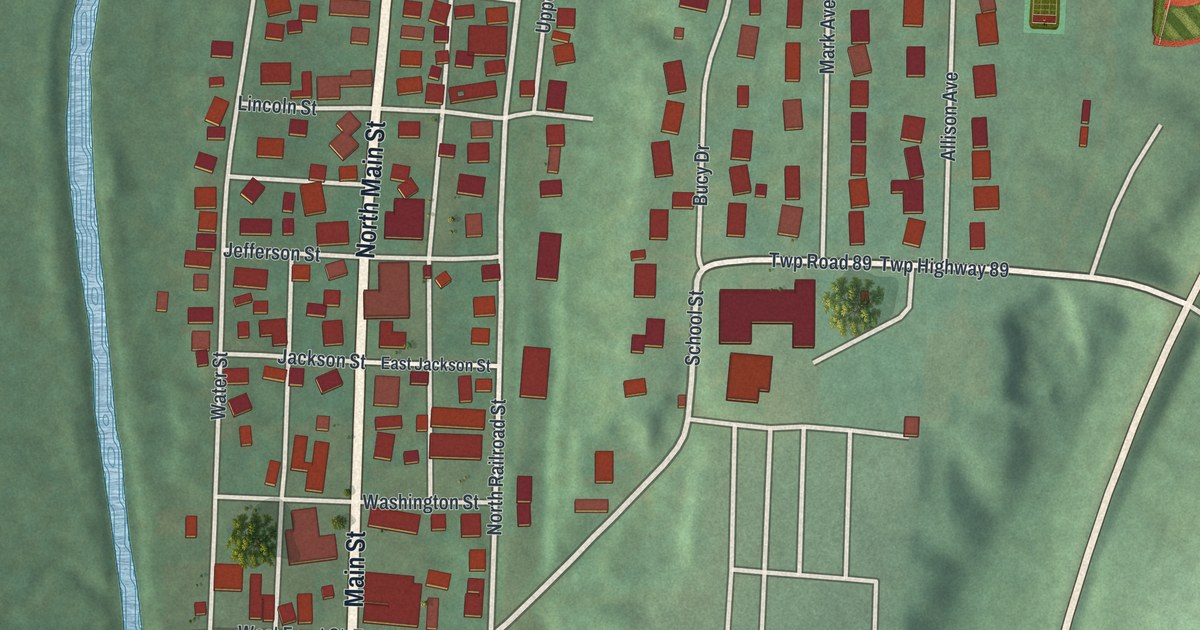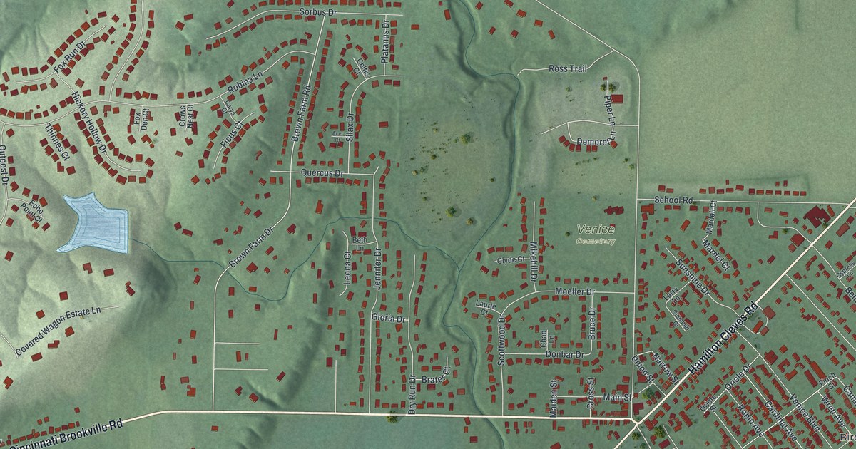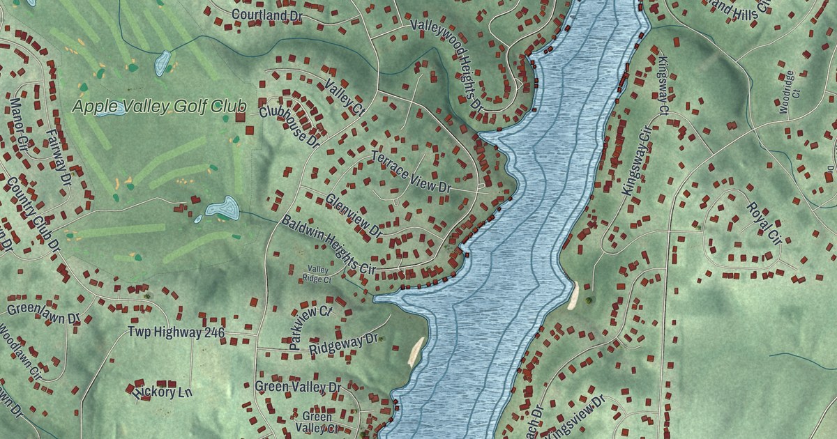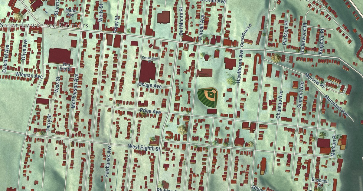
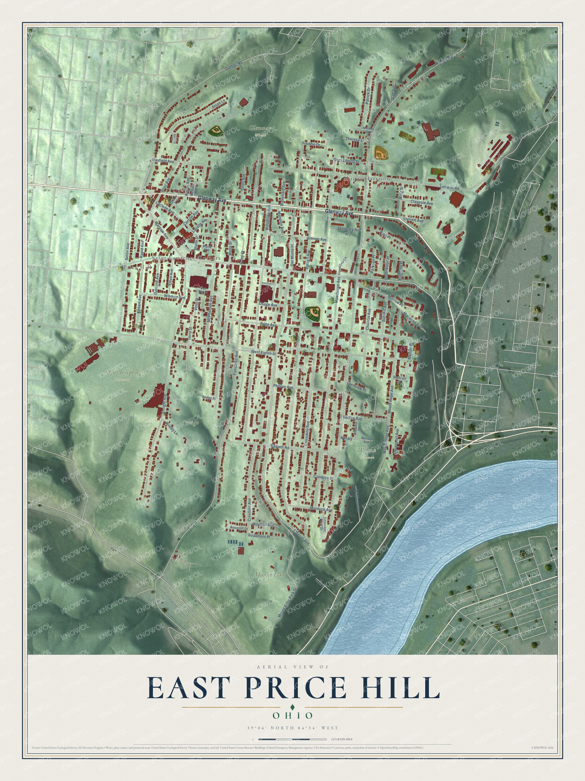
This beautifully detailed map of East Price Hill, Ohio was created in 2026 using aerial imagery combined with modern topographical, census, street and landmark data. It’s a one-of-a-kind view of East Price Hill that combines accurate data with a vintage aesthetic. The map shows every building in its true location, many of the roads carry their names, and the shaded topographic relief shows the shape of the land.
Explore an aerial view of East Price Hill, Ohio
On the map you’ll find Glenway Woods, Imago, Mount Echo Park, Saint Joseph’s Cemetery, Wilson Common, Saint Lawrence Corners, Mount Harrison, and Price Hill, along with Glenway Avenue, Quebec Road, Mayfield Avenue, Elberon Avenue, and more. If you look closely you can even find your house accurately drawn in its correct location. Zoom in on the preview to look for yours.
Take a closer look at the East Price Hill map
Names on this map
These names are printed on this map.
Places: Glenway Woods, Imago, Mount Echo Park, Saint Joseph’s Cemetery, Wilson Common, Saint Lawrence Corners, Mount Harrison and Price Hill.
Streets and roads: Glenway Avenue, Quebec Road, Mayfield Avenue, Elberon Avenue, Warsaw Avenue, Carson Avenue, Del Monte Place, Voss Street, Ring Place, Mount Hope Avenue, Matson Place, Grand Avenue.
More street names, A to Z
Atson Lane, Bassett Road, Beaumont Place, Blanchard Avenue, Bodley Avenue, Brevier Avenue, Bushnell Street, Cameron Place, Chateau Avenue, Cityscape West Drive, Claypole Avenue, Considine Avenue, Considine Lane, Crestline Avenue, Davenport Avenue, Dorothy Lane, Drott Avenue, Enright Avenue, Fairbanks Avenue, Foley Street, Freddie Drive, Glenview Place, Hawthorne Avenue, Kensington Place, Kingston Place, Kirbert Avenue, Kuhlman Avenue, Laclede Avenue, Lasalle Avenue, Lehman Road, Mansion Avenue, Maria Avenue, Maryland Avenue, Mc Connell Street, McPherson Avenue, Mickey Avenue, Morrow Place, Moulton Avenue, Mount Echo Park Drive, Murdock Avenue, Nonaly, Nonaly Avenue, Oakland Avenue, Olive Avenue, Osage Avenue, Parkson Place, Patrick Drive, Phillips Avenue, Price Avenue, Purcell Avenue, Rapid Avenue, Ridlen Avenue, Rosecliff Drive, Ross Avenue, Sedler Street, Seminary Avenue, Seton Avenue, Sterrett Avenue, Sturm Street, Summit Avenue, Terry Street, Theresa Street, Underwood Place, Utah Avenue, Van Vey Street, Waltham Avenue, Wells Street, Wessels Avenue, West Eighth Street, West Liberty Street, Wieman Avenue, Wildey Lane, Wilsonia Drive, Wing Street, Woodlawn Avenue.
See it on a wall
The East Price Hill map as a framed print. Swipe for more.


This beautifully detailed map of East Price Hill makes an attractive addition to your office, library, or den, and it can even be used to teach children the geography and history of the area. It also makes a great gift for someone who left East Price Hill and still calls it home. When you’re done exploring, click here to get your copy of the East Price Hill map.