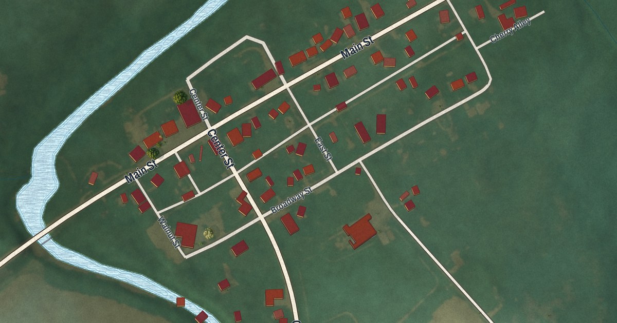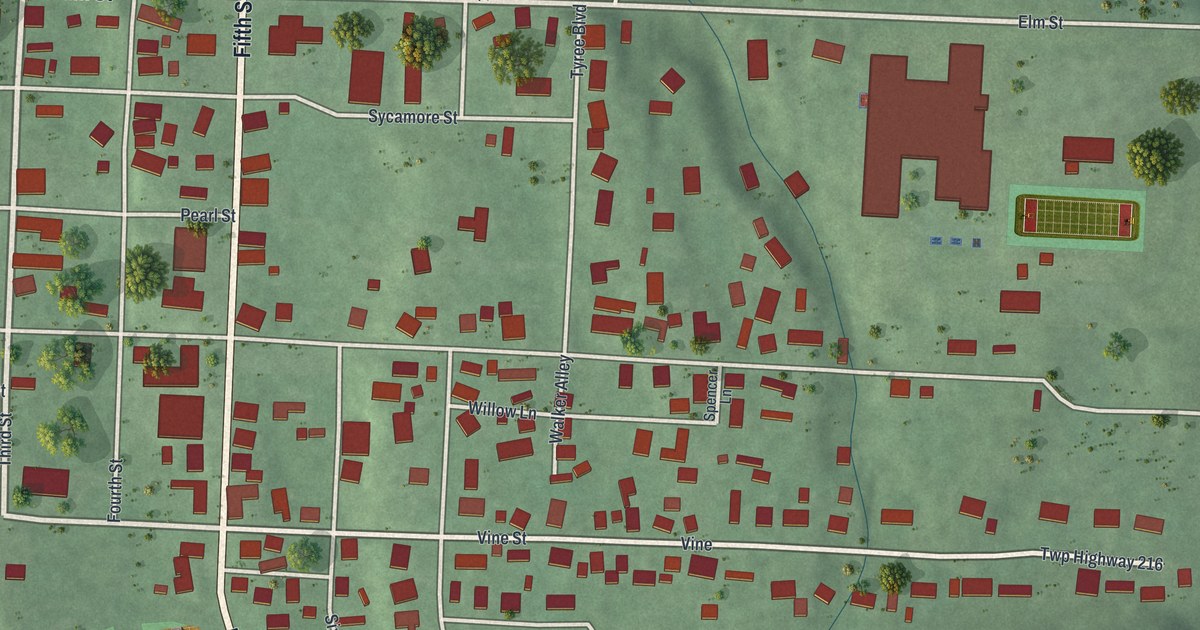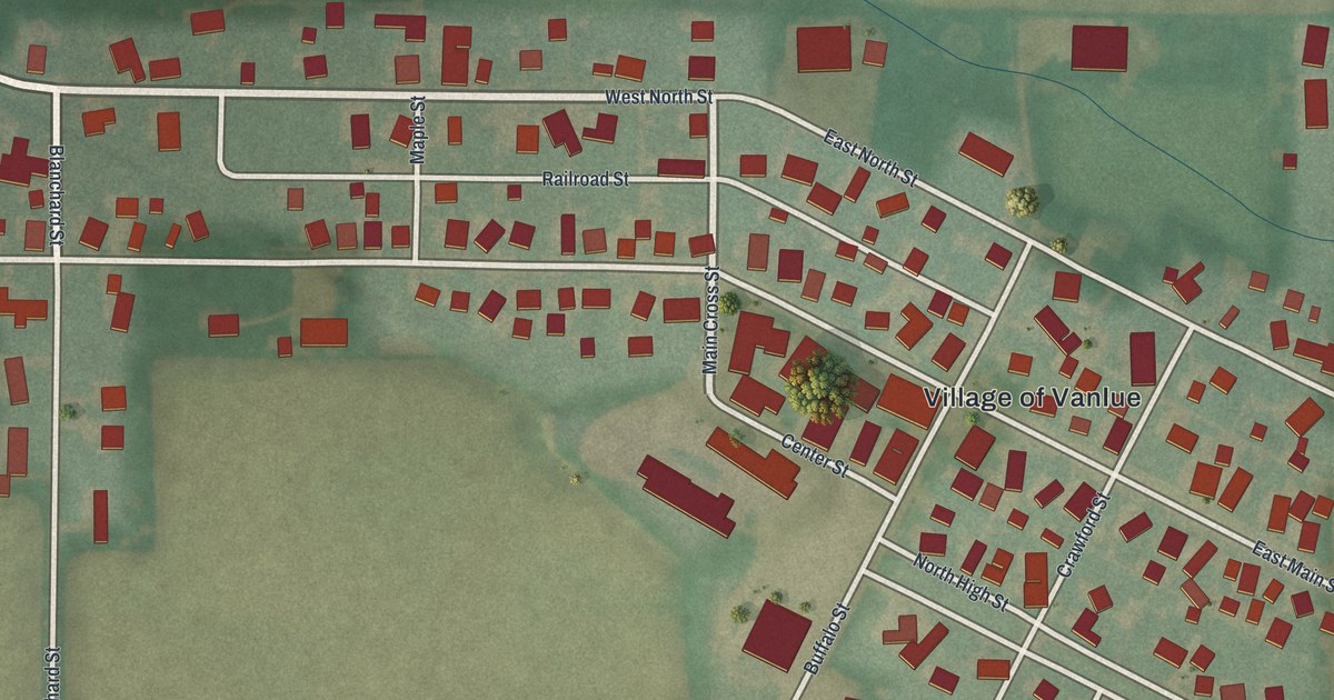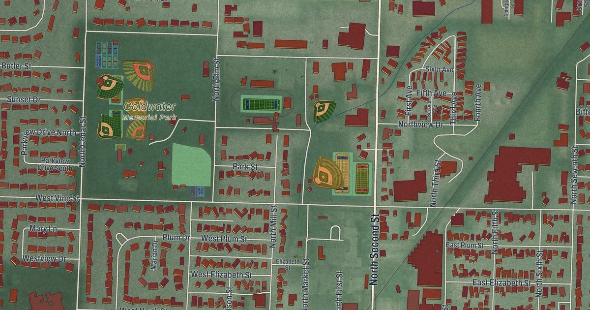
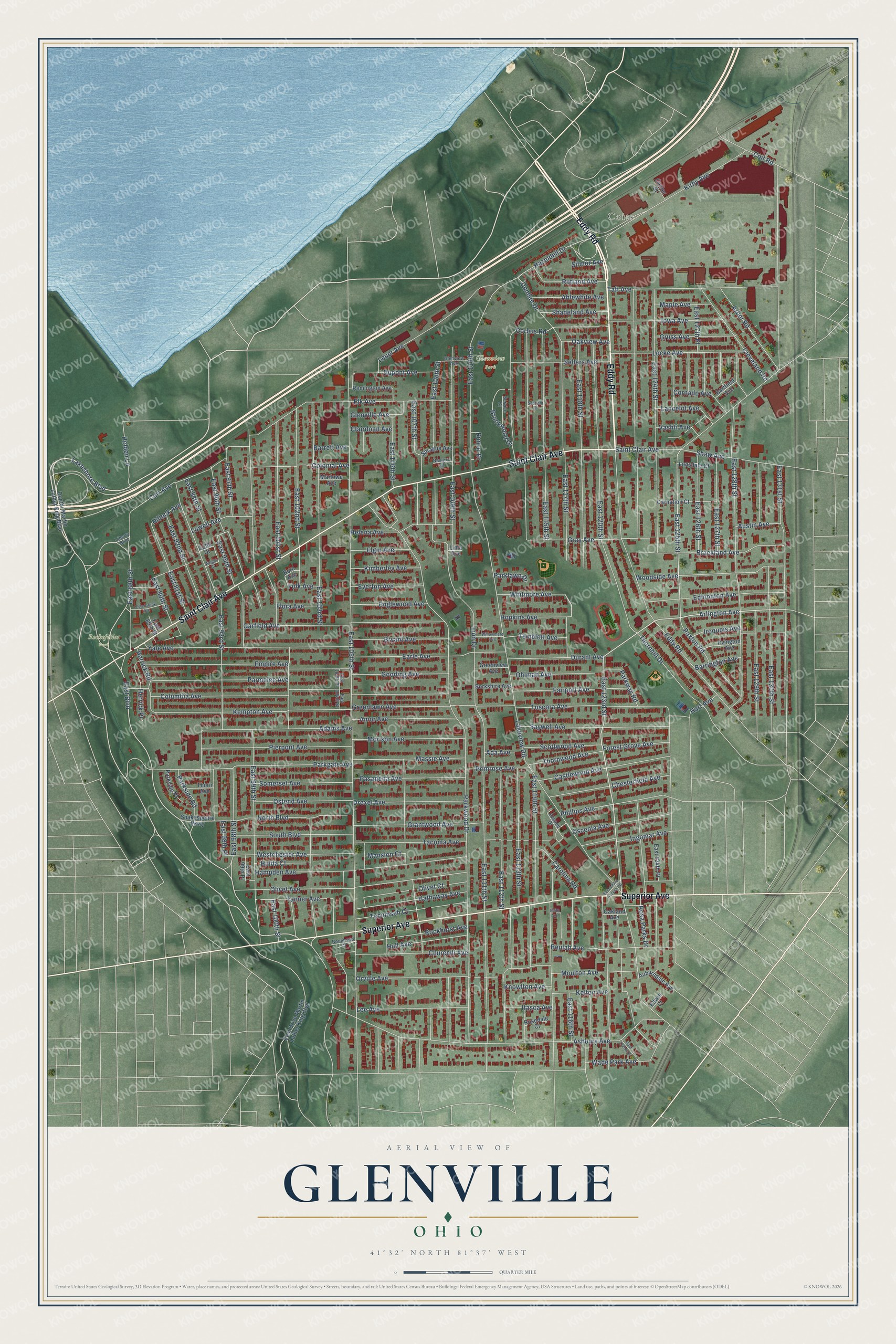
This beautifully detailed map of Glenville, Ohio was created in 2026 using aerial imagery combined with modern topographical, census, street and landmark data. It’s a one-of-a-kind view of Glenville that combines accurate data with a vintage aesthetic. The map shows every building in its true location, many of the roads carry their names, and the shaded topographic relief shows the shape of the land.
Explore an aerial view of Glenville, Ohio
On the map you’ll find Coits, Glenview Park, and Rockefeller Park, along with Eddy Road, Saint Clair Avenue, Superior Avenue, Lakeshore Boulevard, East 123rd Street, Arlington Avenue, East Boulevard, East 125th Street, East 117th Street, and more. If you look closely you can even find your house accurately drawn in its correct location. Zoom in on the preview to look for yours.
Did You Know?
From Internet Archive: "Blee was prepared for Shaw Academy, a Collinwood educational institution, at a district school, which was located near the Lake Shore railway tracks in Glenville."
Glenville is a place in Cuyahoga County.
Take a closer look at the Glenville map
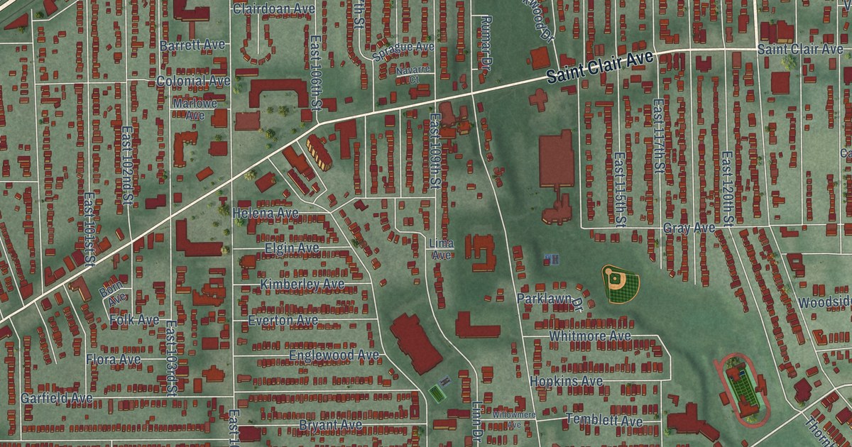
Names on this map
These names are printed on this map.
Places: Coits, Glenview Park and Rockefeller Park.
Streets and roads: Eddy Road, Saint Clair Avenue, Superior Avenue, Lakeshore Boulevard, East 123rd Street, Arlington Avenue, East Boulevard, East 125th Street, East 117th Street, Corbus Road, East 105th Street, Lakeview Road.
More street names, A to Z
Ablewhite Avenue, Ada Avenue, Adams Avenue, Amor Avenue, Arbor Road, Ashbury Avenue, Atwood Drive, Auburndale Avenue, Austin Avenue, Barrett Avenue, Barrington Avenue, Bartfield Avenue, Berkshire Avenue, Beulah Avenue, Born Avenue, Boulevard Court, Brackland Avenue, Brookwood Drive, Bryant Avenue, Carnation Court, Carolina Road, Carr Avenue, Castlewood Avenue, Center Street, Chesterfield Avenue, Churchill Avenue, Clairdoan Avenue, Cleveland Road, Cobb Court, Coit Road, Colonial Avenue, Columbia Avenue, Cornado Avenue, Doctor Martin Luther King Boulevard, Drexel Avenue, Dundee Drive, Dupont Avenue, Durant Avenue, Earle Avenue, East 88th Street, East 89th Street, East 90th Street, East 91st Street, East 92nd Street, East 93rd Street, East 94th Street, East 95th Street, East 96th Street, East 97th Street, East 98th Place, East 98th Street, East 99th Place, East 99th Street, East 100th Street, East 101st Street, East 102nd Street, East 103rd Street, East 104th Place, East 104th Street, East 106th Street, East 107th Street, East 108th Street, East 109th Street, East 110th Street, East 111th Street, East 112th Street, East 113th Street, East 114th Street, East 115th Street, East 116th Street, East 118th Street, East 120th Street, East 122nd Street, East 123rd Access Road, East 124th Place, East 124th Street, East 126th Street, East 127th Place, East 127th Street, East 128th Street, East 129th Street, East 130th Street, East 131st Street, East Drive Martin Luther King Boulevard, Edith Avenue, Edmonton Avenue, Edwin Court, Elgin Avenue, Elk Avenue, Empire Avenue, Englewood Avenue, Esterbrook Avenue, Everton Avenue, Fairport Avenue, Flora Avenue, Folk Avenue, Forest Grove Avenue, Garfield Avenue, Glenview Avenue, Glenville Avenue, Gooding Avenue, Grantwood Avenue, Gray Avenue, Greenlawn Avenue, Greenview Avenue, Gruss Avenue, Hampden Avenue, Hart Avenue, Hathaway Avenue, Hazeldell Drive, Helena Avenue, Herrick Place, Herrick Road, Hillock Avenue, Holden Lane, Hopkins Avenue, Hulda Court, Hull Avenue, Ingomar Avenue, Iowa Avenue, Iroquois Avenue, Irvington Avenue, Itasca Avenue, Kelton Avenue, Kempton Avenue, Kimberley Avenue, Kirby Avenue, Knowlton Avenue, Lancelot Avenue, Lee Avenue, Leuer Avenue, Liberty Boulevard, Lima Avenue, Linn Drive, Locke Avenue, Lonsdale Court, Lowell Avenue, Mansion Court, Maple Avenue, Marlowe Avenue, Massie Avenue, Morison Avenue, Moulton Avenue, Navarre Court, North Boulevard, Oakland Avenue, Oakview Avenue, Ohlman Avenue, Olivet Avenue, Olivet Court, Orville Avenue, Osceola Avenue, Ostend Avenue, Parkgate Avenue, Parklawn Drive, Parkside Place, Parkside Road, Parkway Road, Parkwood Drive, Parmelee Avenue, Pasadena Avenue, Paxton Road, Phillips Avenue, Pierpont Avenue, Primrose Avenue, Remington Avenue, Rockhurst Avenue, Rosa Parks Drive, Rosedale Court, Rumar Drive, Rutland Avenue, Saywell Avenue, Scottwood Avenue, Sebricht Court, Sellers Avenue, Service Court, Shadeland Avenue, Shakespeare Parkway, Shaw Avenue, Silmor Avenue, Somerset Avenue, South Boulevard, Sprague Avenue, Tacoma Avenue, Taft Avenue, Tanner Avenue, Tecumseh Court, Temblett Avenue, Thorn Avenue, Thornhill Drive, Thornwood Avenue, Tuscora Avenue, Vashti Avenue, Wade Park Avenue, Westchester Avenue, Whitmore Avenue, Willowmere Avenue, Woodside Avenue, Wright Court, Yale Avenue.
See it on a wall
The Glenville map as a framed print. Swipe for more.


This beautifully detailed map of Glenville makes an attractive addition to your office, library, or den, and it can even be used to teach children the geography and history of the area. It also makes a great gift for someone who left Glenville and still calls it home. When you’re done exploring, click here to get your copy of the Glenville map.