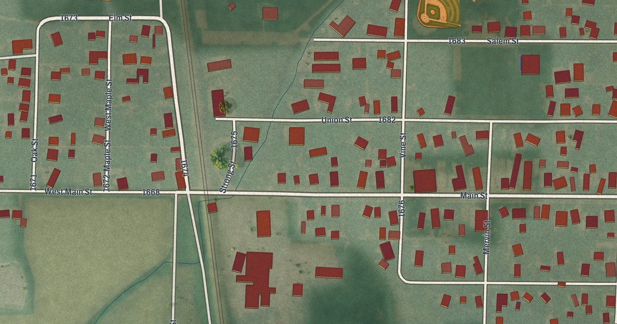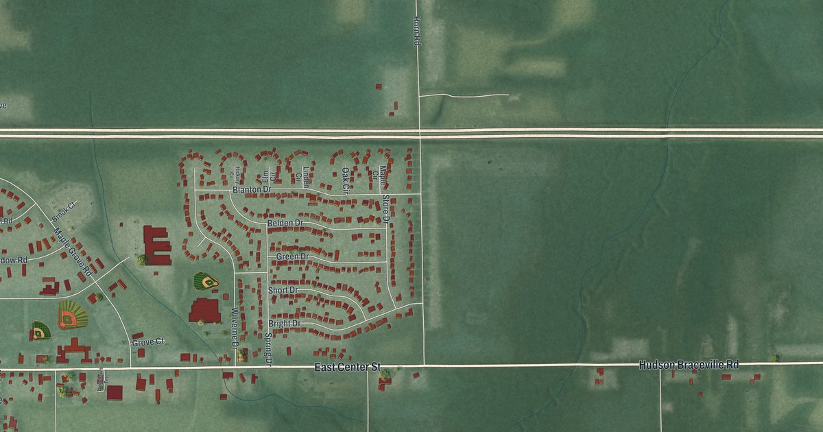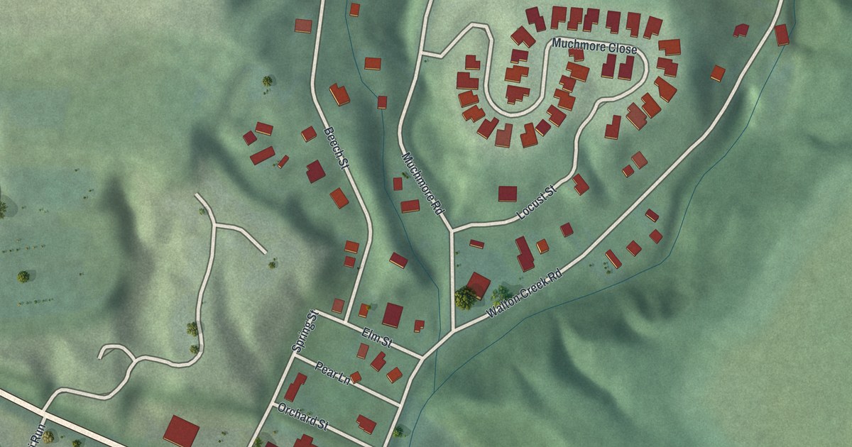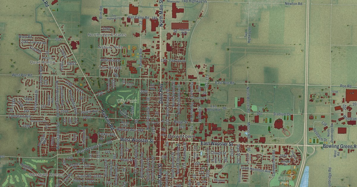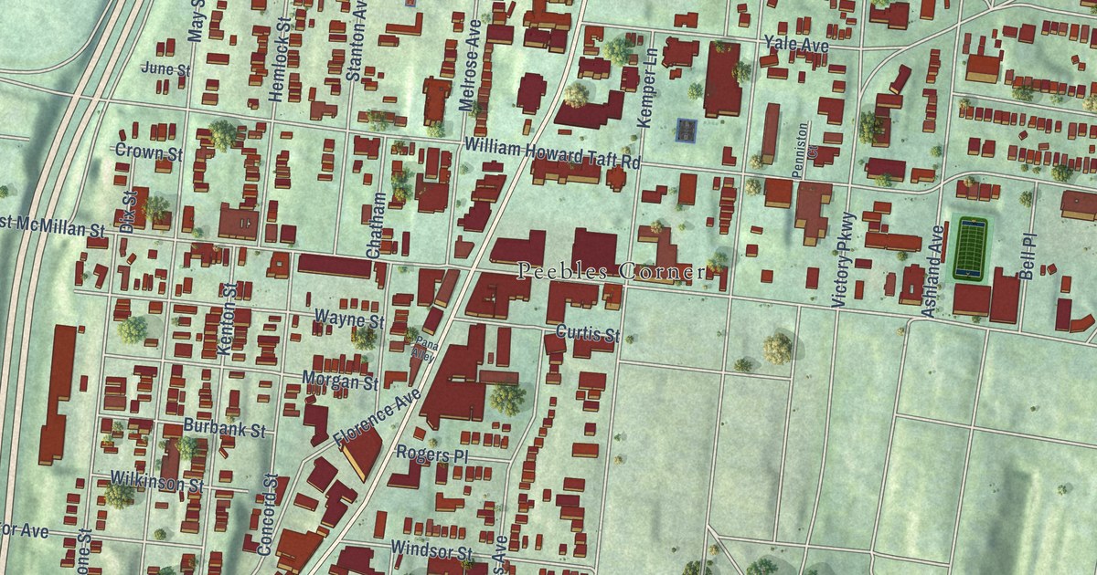
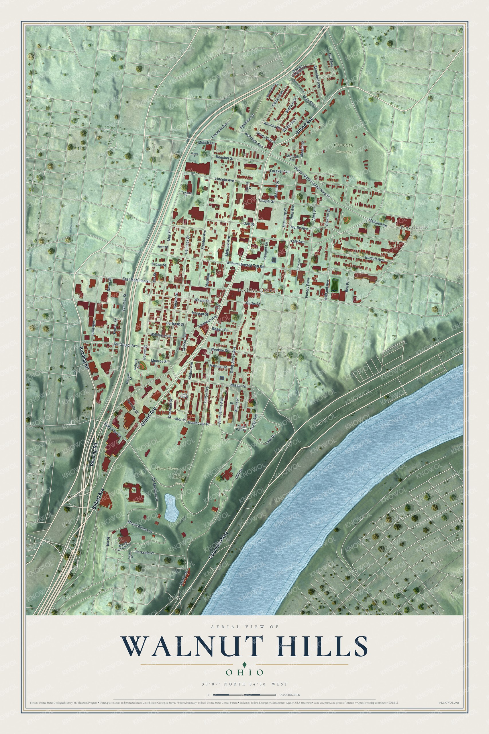
This beautifully detailed map of Walnut Hills, Ohio was created in 2026 using aerial imagery combined with modern topographical, census, street and landmark data. It’s a one-of-a-kind view of Walnut Hills that combines accurate data with a vintage aesthetic. The map shows every building in its true location, many of the roads carry their names, and the shaded topographic relief shows the shape of the land.
Explore an aerial view of Walnut Hills, Ohio
On the map you’ll find Eden Park, German Cemetery, Heros Grove, Peebles Corner, and Woodburn, along with Reading Road, Gilbert Avenue, Columbia Parkway, Eden Park Drive, Doctor Martin Luther King Drive, Lake Drive, Florence Avenue, and more. If you look closely you can even find your house accurately drawn in its correct location. Zoom in on the preview to look for yours.
Did You Know?
From Internet Archive: "Colonies from the older congregations established Park Street, Christie, Raper (on Elm Street), and York Street churches, and later Bethel, Mount Auburn, Clinton Street, Walnut Hills, and Union Chapel."
Walnut Hills is a place in Hamilton County.
Take a closer look at the Walnut Hills map
Names on this map
These names are printed on this map.
Places: Eden Park, German Cemetery, Heros Grove, Peebles Corner and Woodburn.
Streets and roads: Reading Road, Gilbert Avenue, Columbia Parkway, Eden Park Drive, Doctor Martin Luther King Drive, Lake Drive, Florence Avenue, Morgan Street, Melish Lane, William Howard Taft Road, Victory Parkway, Lincoln Avenue.
More street names, A to Z
Alms Place, Alpine Place, Altoona Street, Art Museum Drive, Ashland Avenue, Beecher Street, Beethoven Place, Bella Vista Place, Bell Place, Beresford Avenue, Blair Avenue, Boone Street, Braxton Campbell Court, Buena Vista Place, Burbank Street, Burdett Avenue, Chapel Street, Chatham, Churchill Avenue, Cliff Drive, Concord Street, Crown Street, Curtis Street, Deerfield Street, Dix Street, Dover Street, East McMillan Street, Farrells Court, Foraker Avenue, Fowler Street, Francisco Street, Fredonia Avenue, Fulton Avenue, Gaff Avenue, Hemlock Street, Ida Street, Iowa Avenue, June Street, Kemper Lane, Kenton Street, Kerper Avenue, Lincoln Place, Louden Street, Luray Avenue, Madison Road, Marquis Street, Martin Drive, Mathers Street, May Street, Mc Gregor Avenue, Melrose Avenue, Mentor Street, Monfort Street, Monroe Street, Morris, Mount Adams Circle, Mount Adams Drive, Myrtle Avenue, Nassau Street, Oak Street, Omaha Street, Pana Alley, Park Avenue, Parkside Place, Penniston Court, Preston Street, Rammelsberg Street, Rogers Place, Saint James Avenue, Saint Paul Drive, Seminary Place, Sinton Avenue, Stanton Avenue, Symmes Street, Syracuse Street, Terhune Alley, Tuxedo Place, Walter Avenue, Washington Terrace, Wayne Street, Wehrman Avenue, Wilkinson Street, Windsor Street, Yale Avenue.
See it on a wall
The Walnut Hills map as a framed print. Swipe for more.


This beautifully detailed map of Walnut Hills makes an attractive addition to your office, library, or den, and it can even be used to teach children the geography and history of the area. It also makes a great gift for anyone who grew up in Walnut Hills or moved away. When you’re done exploring, click here to get your copy of the Walnut Hills map.