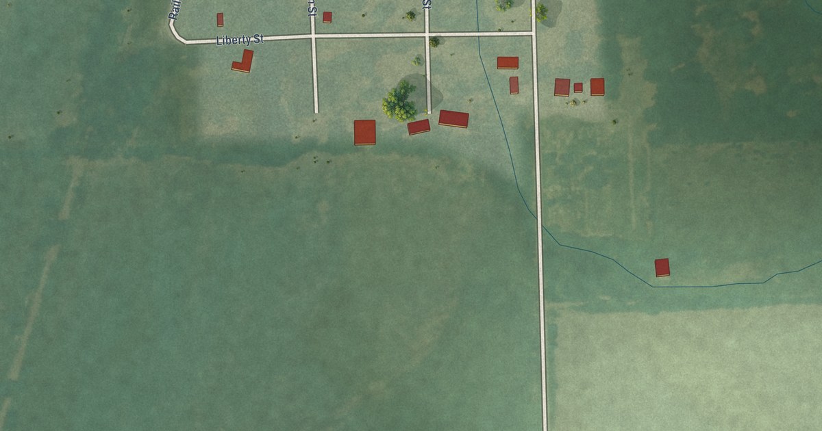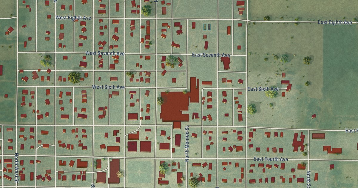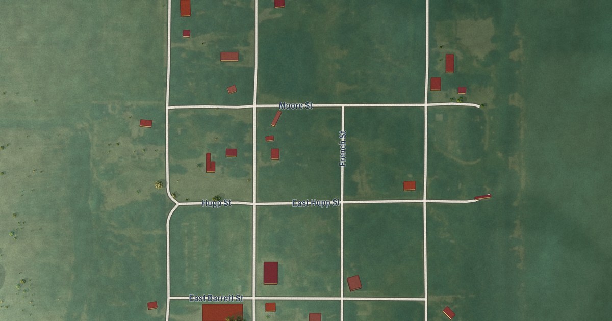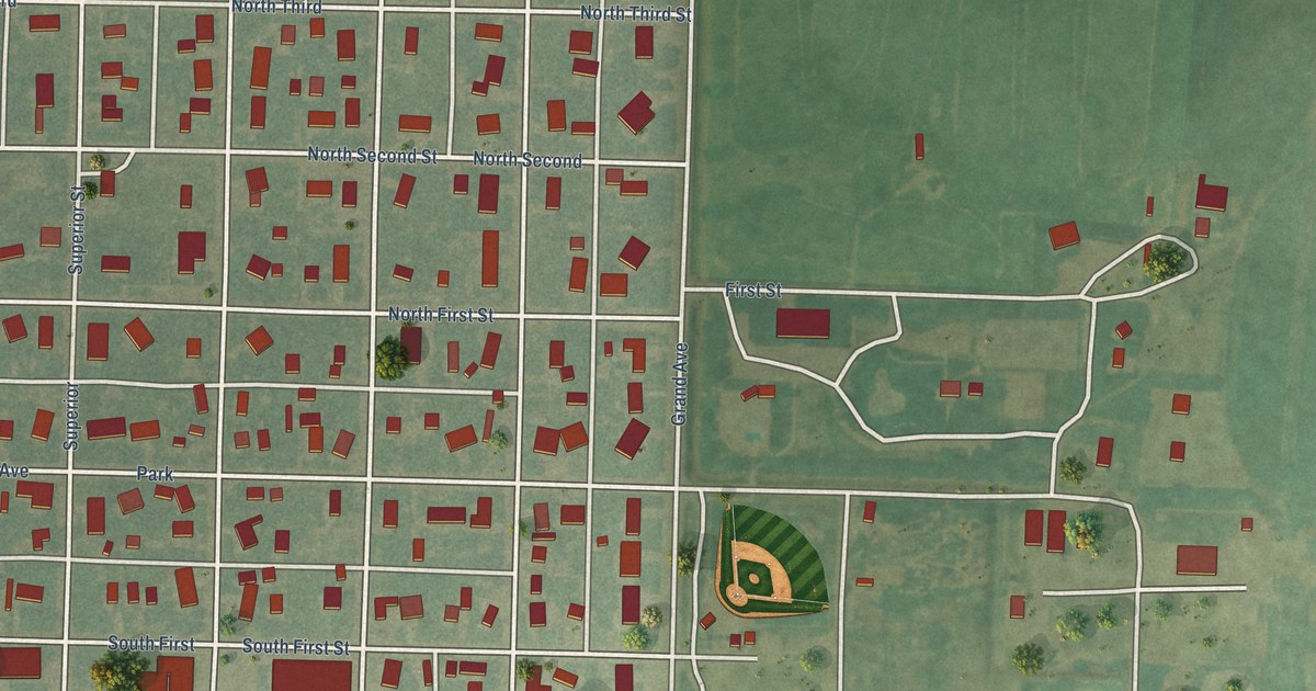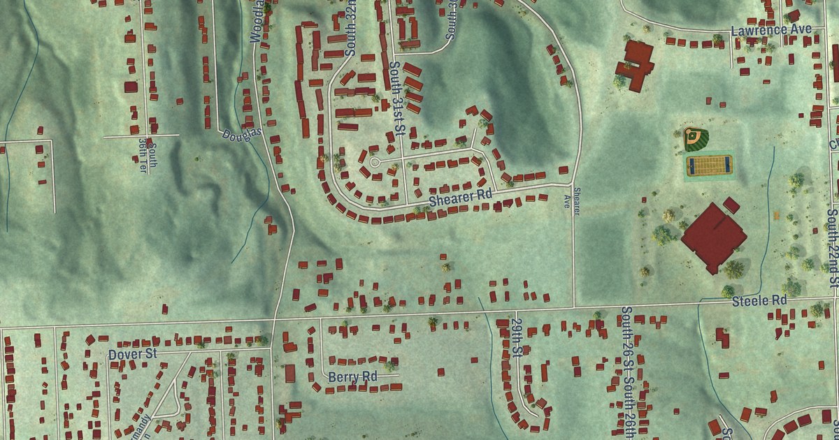
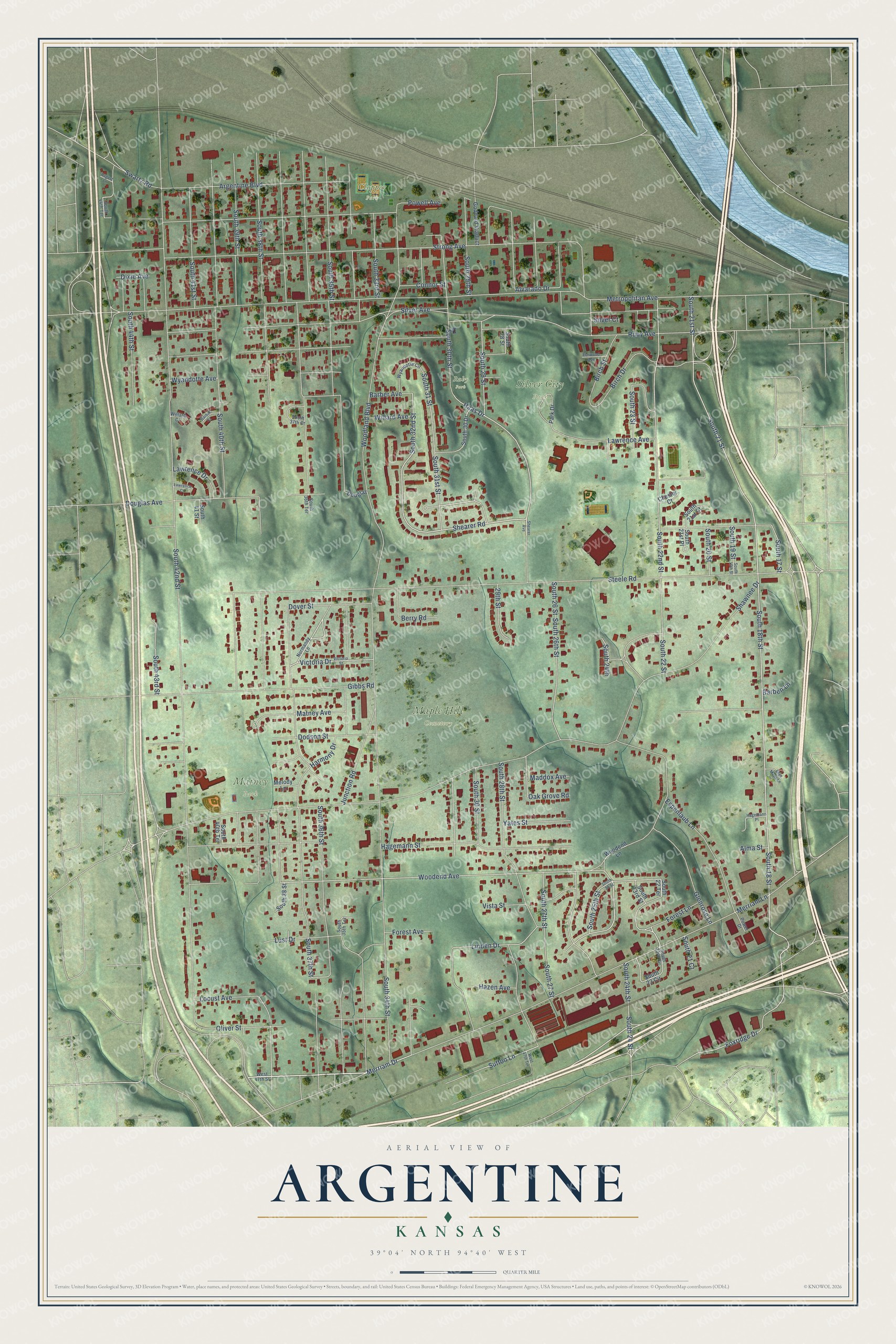
This beautifully detailed map of Argentine, Kansas was created in 2026 using aerial imagery combined with modern topographical, census, street and landmark data. It’s a one-of-a-kind view of Argentine that combines accurate data with a vintage aesthetic. The map shows every building in its true location, many of the roads carry their names, and the shaded topographic relief shows the shape of the land.
Explore an aerial view of Argentine, Kansas
On the map you’ll find Maple Hill Cemetery, Silver City Park, Clopper Park, Matney Park, and Ruby Park, along with Shearer Road, Douglas Avenue, South 32nd Street, South 18th Street, South 24th Street, South 24 Street, Haas Drive, and more. If you look closely you can even find your house accurately drawn in its correct location. Zoom in on the preview to look for yours.
Did You Know?
From the 1875 Collections of the Kansas State Historical Society: "Some who settled in Soutli America, especially Argentine and Paraguay, and perhaps a few from Brazil, came to central Kansas."
Argentine is a place in Wyandotte County.
Take a closer look at the Argentine map
Names on this map
These names are printed on this map.
Places: Maple Hill Cemetery, Silver City Park, Clopper Park, Matney Park and Ruby Park.
Streets and roads: Shearer Road, Douglas Avenue, South 32nd Street, South 18th Street, South 24th Street, South 24 Street, Haas Drive, Sutton Lane, Merriam Drive, Linden Drive, Woodend Avenue, Argentine Boulevard.
More street names, A to Z
29th Street, Alma Street, Alvarado Drive, August Lane, Barben Lane, Barber Avenue, Barber Court, Berry Road, Birch Drive, Birch Street, Bryn Mawr Lane, Chester Court, Connor Street, Dixie Avenue, Dodson Street, Douglas, Dover Street, Elmwood Avenue, Espenlaub Lane, Forest Avenue, Forest Lane, Foxridge Drive, Gibbs Road, Glenrose Lane, Goddard Viaduct, Hagemann Place, Hagemann Street, Harmony Drive, Hazen Avenue, Junction Road, Lawrence Avenue, Lawrence Court, Lawrence Drive, Locust Avenue, Lust Drive, Maddox Avenue, Matney Avenue, Melody Lane, Merriam Lane, Metropolitan Avenue, Normandy Lane, Oak Grove Road, Oliver Street, Park Drive, Powell Avenue, Power Drive, Ruby Avenue, Shawnee Drive, Shearer Avenue, Silver Avenue, Silver Court, South 17 Street, South 18 Street, South 19 Street, South 19th Street, South 20 Street, South 21 Court, South 21 Street, South 21st Court, South 21st Place, South 21st Street, South 22 Street, South 22 Terrace, South 22nd Street, South 23 Circle, South 23 Street, South 23rd Circle, South 23rd Street, South 24th, South 25 Street, South 25th Street, South 26 Street, South 26th Street, South 27 Street, South 27th Street, South 28 Street, South 28th Street, South 29 Street, South 29th Street, South 30 Drive, South 30 Street, South 30th Street, South 31 Street, South 31st Street, South 33rd Street, South 34th Street, South 35th Street, South 35th Terrace, South 36th Street, South 36th Terrace, South 37th Court, South 37th Street, South 38 Street, South 38th Street, South 39th Street, South 40th Street, South 40th Terrace, South 41 Street, South 41st Street, South 42nd Street, South 43rd Street, South 44th Street, South 44th Terrace, Steele Road, Strong Avenue, Swartz Road, Victoria Drive, Victoria Street, Vista Street, West 47th Street, West 47th Terrace, Willard Avenue, Willard Court, Woodend Lane, Woodland Boulevard, Wyandotte Avenue, Wyandotte Circle, Yates Street.
See it on a wall
The Argentine map as a framed print. Swipe for more.


This beautifully detailed map of Argentine makes an attractive addition to your office, library, or den, and it can even be used to teach children the geography and history of the area. It also makes a great gift for anyone with Argentine roots. When you’re done exploring, click here to get your copy of the Argentine map.