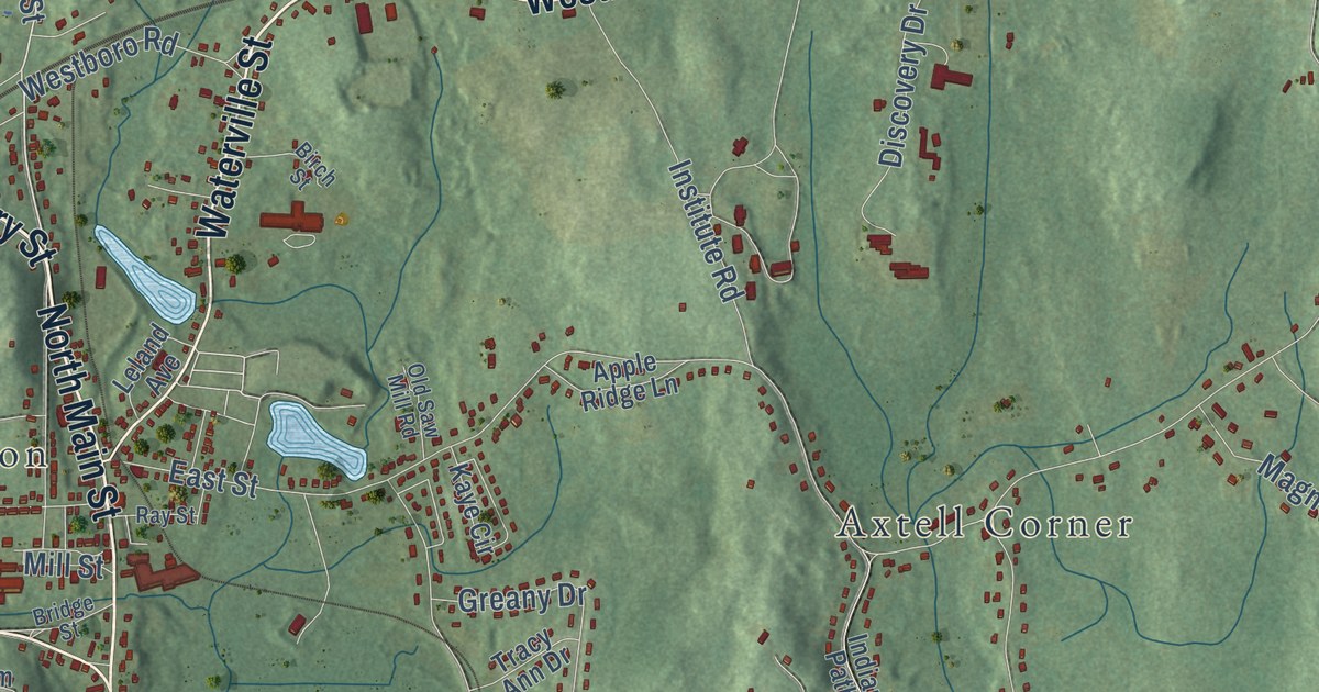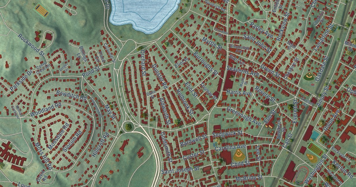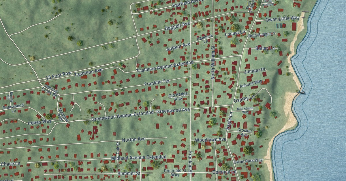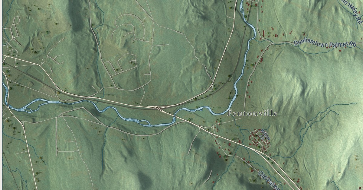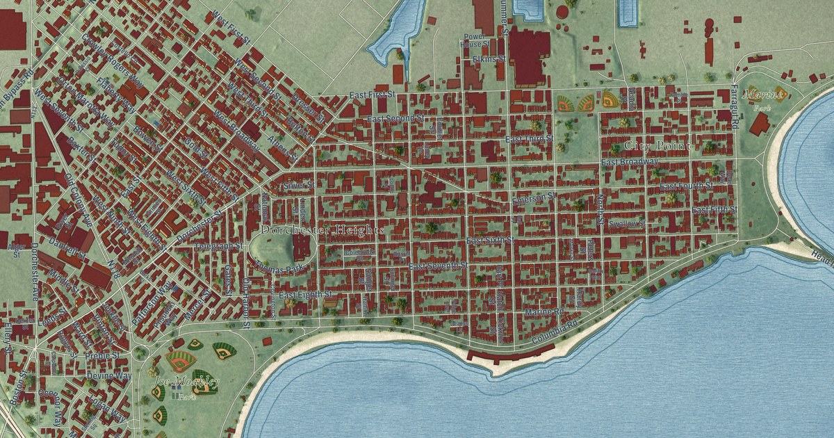
This beautifully detailed map of South Boston, Massachusetts was created in 2026 using aerial imagery combined with modern topographical, census, street and landmark data. It’s a one-of-a-kind view of South Boston that combines accurate data with a vintage aesthetic. The map shows every building in its true location, many of the roads carry their names, and the shaded topographic relief shows the shape of the land.
Explore an aerial view of South Boston, Massachusetts
On the map you’ll find Fort Independence, Castle Island, Joe Moakley Park, Marine Park, Dorchester Heights, and City Point, along with Dorchester Street, Boston Street, Columbia Road, West Fifth Street, Dorchester Avenue, Frontage Road, and more. If you look closely you can even find your house accurately drawn in its correct location. Zoom in on the preview to look for yours.
Did You Know?
From Internet Archive: "WAR OF 1812. 369 consultation with him, voted to settle a colleague, and invited Lemuel Capen, afterwards settled at Stirling and South Boston, to preach as a candidate; and at the first town meeting held after his decease, they voted to pay to the widow his salary to the first of March, the anniversary of his settlement."
South Boston is a place in Suffolk County.
Take a closer look at the South Boston map
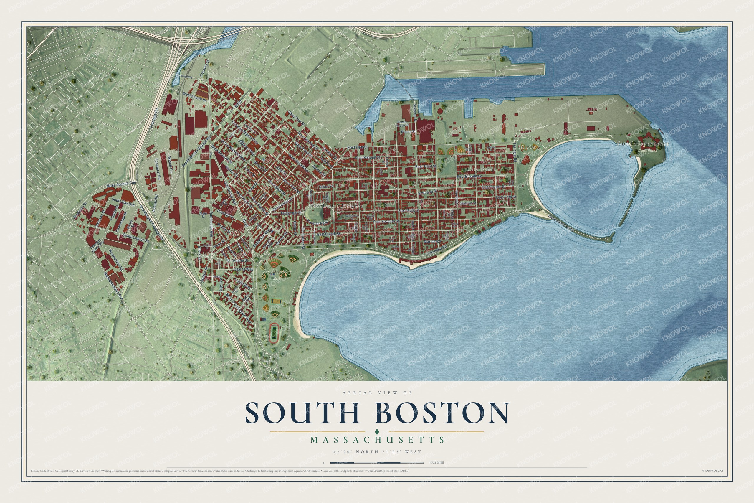
Names on this map
These names are printed on this map.
Places: Fort Independence, Castle Island, Joe Moakley Park, Marine Park, Dorchester Heights, City Point and Thomas Park.
Streets and roads: Dorchester Street, Boston Street, Columbia Road, West Fifth Street, Dorchester Avenue, Frontage Road, Preble Street, Flaherty Way, Massachusetts Avenue, Vinton Street, West Fourth Street, Newmarket Square.
More street names, A to Z
Acadia Street, Access Road, Alger Street, Athens Street, Atkinson Street, Bantry Way, Baxter Street, Bolton Street, Bowen Street, Bradston Street, Broadway, Burke Street, Burrill Place, Carpenter Street, Colebrook Street, Costello Circle, Covington Street, Crowley Rogers Way, Cummings Street, Dalessio Court, Damrell Street, Deadys Lane, Dean Way, Devine Way, Dexter Street, Dresser Street, East Broadway, East Eighth Street, East Fifth Street, East First Street, East Fourth Street, East Second Street, East Seventh Street, East Sixth Street, East Street, East Third Street, Elkins Street, Ellery Street, Emerson Street, Emmet Street, Ewer Street, Farragut Road, Foodmart Road, Foundry Street, Gates Street, Gavin Way, Gold Street, Grimes Street, Hall Place, Hamlin Street, Hardy Street, Hart Place, Hatch Street, Head Island Causeway, Jenkins Street, Kemble Place, Leeds Street, Linden Street, Linley Terrace, Locke Place, Logan Way, Marine Road, Mass Avenue Con, Mercer Street, Middle Street, Mitchell Street, Monks Street, Moore Street, Msgr O'Callaghan Way, National Street, North Street, Oconnor Way, Old Colony Avenue, Old Harbor Street, Orton Marotta Way, Paige Avenue, Patterson Way, Peters Street, Pilsudski Way, Power House Street, Rogers Street, Sanger Street, Silver Street, Southampton Street, South Bay Avenue, South Boston Bypass Road, Southbound Frontage Road, Springer Street, Sterling Square, Summer Street, Swallow Street, Telegraph Street, Theodore Glynn Way, Ticknor Street, Topeka Street, Tudor Street, Ward Street, West Broadway, West Eighth Street, West First Street, West Ninth Street, West Second Street, West Seventh Street, West Sixth Street, West Third Street, Widett Circle.
See it on a wall
The South Boston map as a framed print. Swipe for more.


This beautifully detailed map of South Boston makes an attractive addition to your office, library, or den, and it can even be used to teach children the geography and history of the area. It also makes a great gift for anyone with South Boston roots. When you’re done exploring, click here to get your copy of the South Boston map.