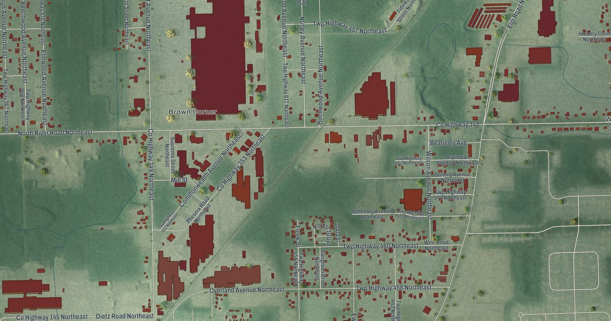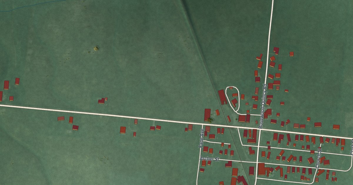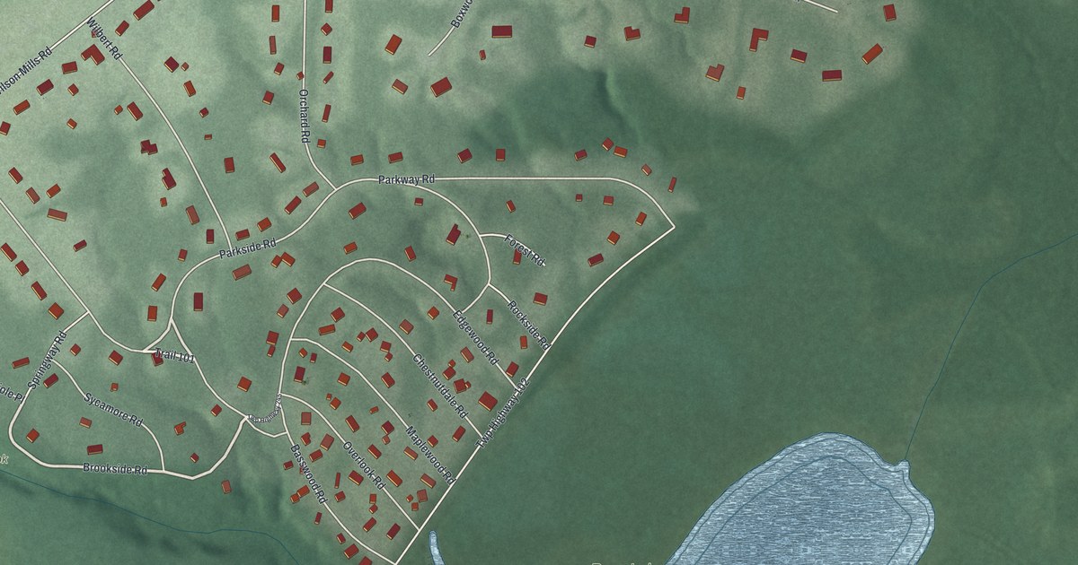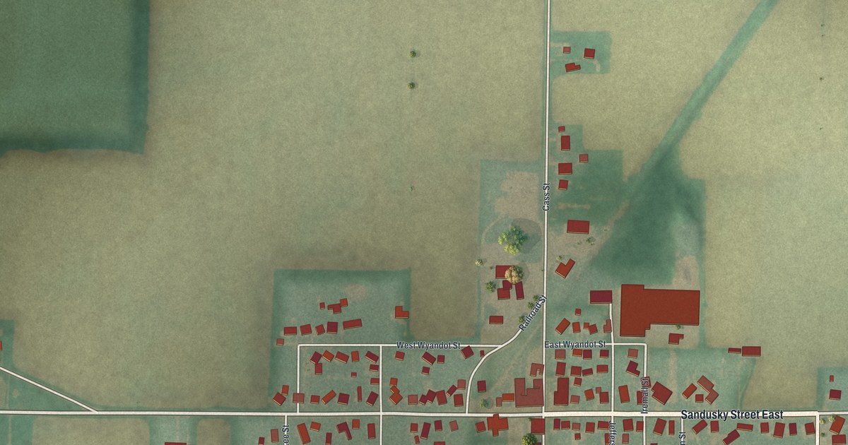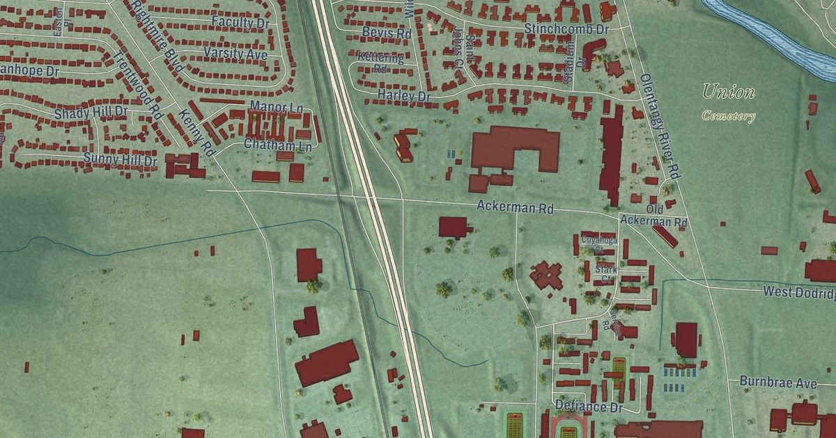
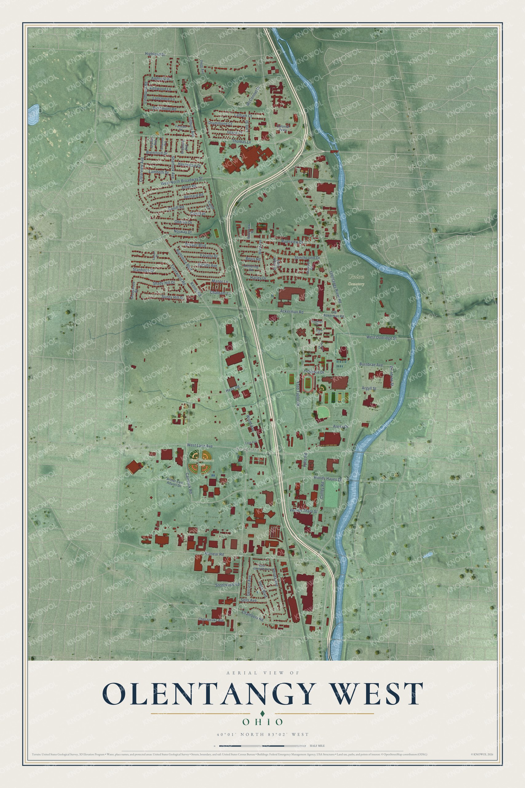
This beautifully detailed map of Olentangy West, Ohio was created in 2026 using aerial imagery combined with modern topographical, census, street and landmark data. It’s a one-of-a-kind view of Olentangy West that combines accurate data with a vintage aesthetic. The map shows every building in its true location, many of the roads carry their names, and the shaded topographic relief shows the shape of the land.
Explore an aerial view of Olentangy West, Ohio
On the map you’ll find Seagrave, Fred Beekman Park, and Union Cemetery, along with West North Broadway Street, Defiance Drive, Carmack Road, Caniff Road, Lindhurst Road, Olentangy River Road, Kenny Road, West Lane Avenue, Ackerman Road, and more. If you look closely you can even find your house accurately drawn in its correct location. Zoom in on the preview to look for yours.
Take a closer look at the Olentangy West map
Names on this map
These names are printed on this map.
Places: Seagrave, Fred Beekman Park and Union Cemetery.
Streets and roads: West North Broadway Street, Defiance Drive, Carmack Road, Caniff Road, Lindhurst Road, Olentangy River Road, Kenny Road, West Lane Avenue, Ackerman Road, Shattuck Avenue, Fred Taylor Drive, Kinnear Road.
More street names, A to Z
Afton Road, Amberly Place, Arena Drive, Argyll Street, Arthur East Adams Drive, Bernard Road, Bevis Road, Birchmont Road, Bradford Avenue, Brentford Drive, Bricker Boulevard, Burnbrae Avenue, Burnbrae Street, Caniff Court, Caniff Place, Chambers Road, Chatham Lane, Chesapeake Avenue, Clearview Avenue, Coffey Road, Colonial Parkway, Cuyahoga Court, Delamere Avenue, Drummond Court, Easton Place, Faculty Drive, Farnham Road, Fyffe Road, Gerrard Avenue, Grafton Avenue, Harley Drive, Havendale Drive, Hess Boulevard, Hess Road, Highland Drive, Island Court, Kenwood Lane, Kettering Road, Lambeth Drive, Lansmere Lane, Latham Court, Legg Avenue, Lieb Street, Manor Lane, McConnel Drive, Norway Drive, Oberlin Drive, Old Ackerman Road, Pegg Avenue, Rhoda Avenue, Rightmire Boulevard, Riverview Drive, Riverview Place, Saint Johns Court, Sells Avenue, Service Road, Shady Hill Drive, Shadywood Road, Stadium Drive, Stanhope Drive, Stark Court, Steelwood Road, Stinchcomb Drive, Sunny Hill Drive, Thomas Lane, Tillbury Avenue, Trentwood Road, Varsity Avenue, Vernon Tharp Street, West Dodridge Street, West Eleventh Avenue, Wilce Avenue, Wood Avenue, Woody Hayes Drive.
See it on a wall
The Olentangy West map as a framed print. Swipe for more.


This beautifully detailed map of Olentangy West makes an attractive addition to your office, library, or den, and it can even be used to teach children the geography and history of the area. It also makes a great gift for anyone with Olentangy West roots. When you’re done exploring, click here to get your copy of the Olentangy West map.