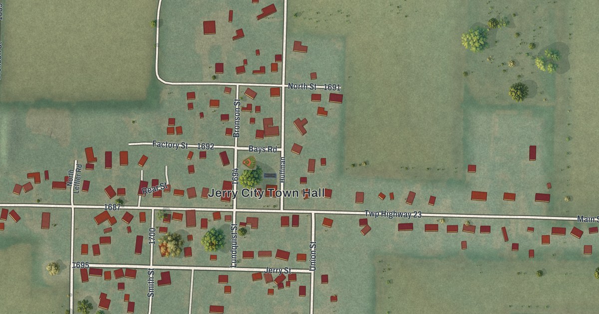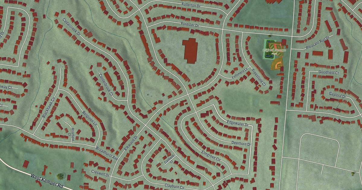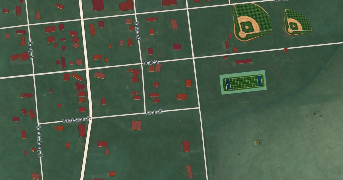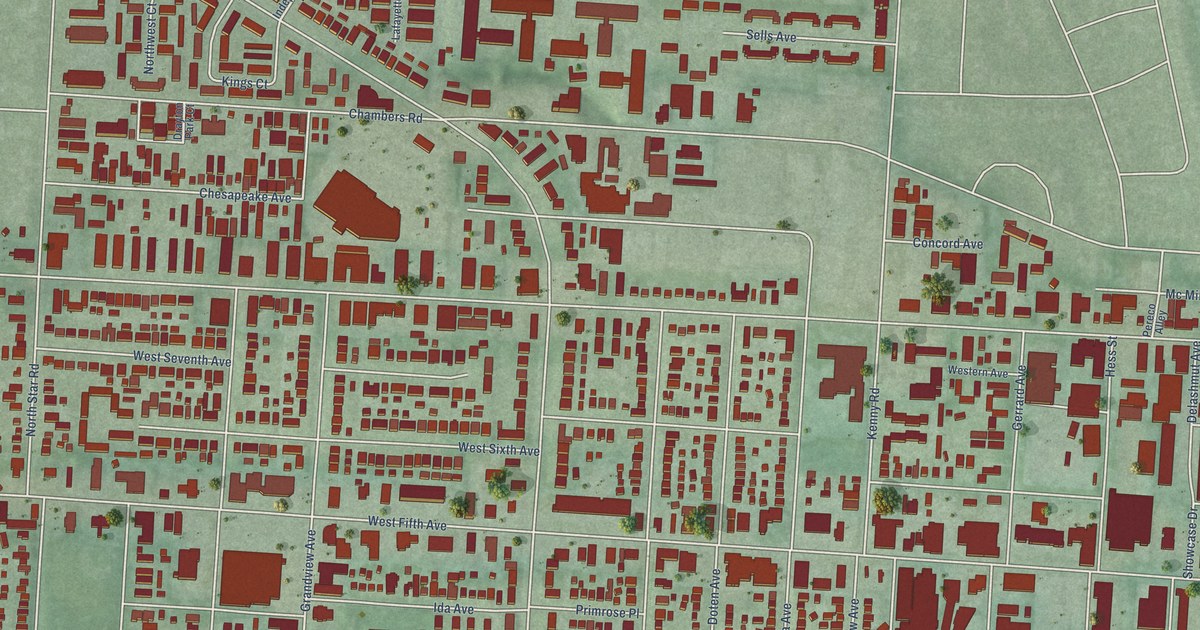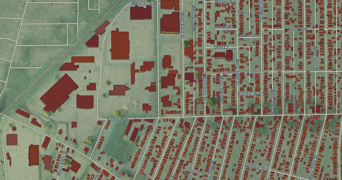
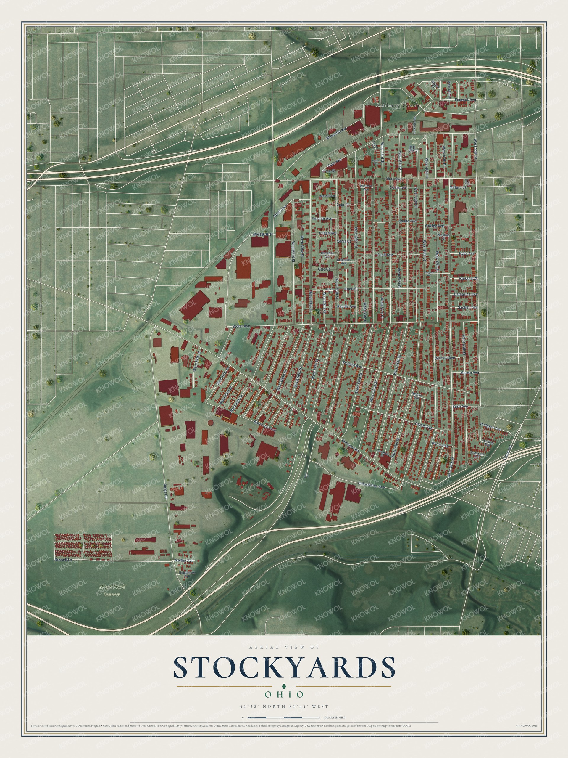
This beautifully detailed map of Stockyards, Ohio was created in 2026 using aerial imagery combined with modern topographical, census, street and landmark data. It’s a one-of-a-kind view of Stockyards that combines accurate data with a vintage aesthetic. The map shows every building in its true location, many of the roads carry their names, and the shaded topographic relief shows the shape of the land.
Explore an aerial view of Stockyards, Ohio
On the map you’ll find West Park Cemetery, Train Park, and Ashbury Towers, along with Russell Lane, Melber Avenue, Fenwick Avenue, Fulton Road, West 58th Street, West 47th Street, West 46th Street, Denison Avenue, West 56th Street, and more. If you look closely you can even find your house accurately drawn in its correct location. Zoom in on the preview to look for yours.
Did You Know?
From the 1907 history of Youngstown and Mahoning County, Ohio: "Jonathan Allen Kline attended the union school at Canfield, and later, in order to secure experience, he worked for 10 months in the Union Stockyards, at Chicago."
Stockyards is a place in Cuyahoga County.
Take a closer look at the Stockyards map
Names on this map
These names are printed on this map.
Places: West Park Cemetery, Train Park and Ashbury Towers.
Streets and roads: Russell Lane, Melber Avenue, Fenwick Avenue, Fulton Road, West 58th Street, West 47th Street, West 46th Street, Denison Avenue, West 56th Street, West 65th Street, West 50th Street, West 52nd Street.
More street names, A to Z
Arkansas Avenue, Barberton Avenue, Bragdon Avenue, Bush Avenue, Cantor Avenue, Carlos Avenue, Catharina Avenue, Clark Avenue, Concord Court, Dobeckmun Avenue, Eichorn Avenue, Fanta Avenue, Field Avenue, Frontier Avenue, Gedeon Avenue, Gennett Avenue, Gilbert Court, Hodgson Avenue, Hyde Avenue, Junction Road, Kerns Avenue, Kidder Avenue, Koch Court, Kouba Avenue, Leading Avenue, Marvin Avenue, Mehling Court, Merrill Avenue, Milford Court, Montana Avenue, Niessen Court, Oakley Avenue, Otto Court, Pacific Avenue, Pilsen Avenue, Ravine Court, Ridgemore Avenue, Ridge Road, Riverside Avenue, Sackett Avenue, Sears Court, Sly Court, Stock Avenue, Storer Avenue, Train Avenue, Train Court, Walworth Avenue, West 44th Street, West 45th Place, West 45th Street, West 46th Place, West 47th Place, West 48th Place, West 48th Street, West 49th Street, West 50th Place, West 51st Place, West 51st Street, West 53rd Place, West 53rd Street, West 54th Street, West 55th Place, West 59th Place, West 59th Street, West 60th Street, West 61st Street, West 62nd Place, West 62nd Street, West 63rd Street, West 66th Street, West 67th Place, West 67th Street, West 69th Street, Winimac Avenue, Xenia Court, Zoar Court.
See it on a wall
The Stockyards map as a framed print. Swipe for more.


This beautifully detailed map of Stockyards makes an attractive addition to your office, library, or den, and it can even be used to teach children the geography and history of the area. It also makes a great gift for anyone with Stockyards roots. When you’re done exploring, click here to get your copy of the Stockyards map.