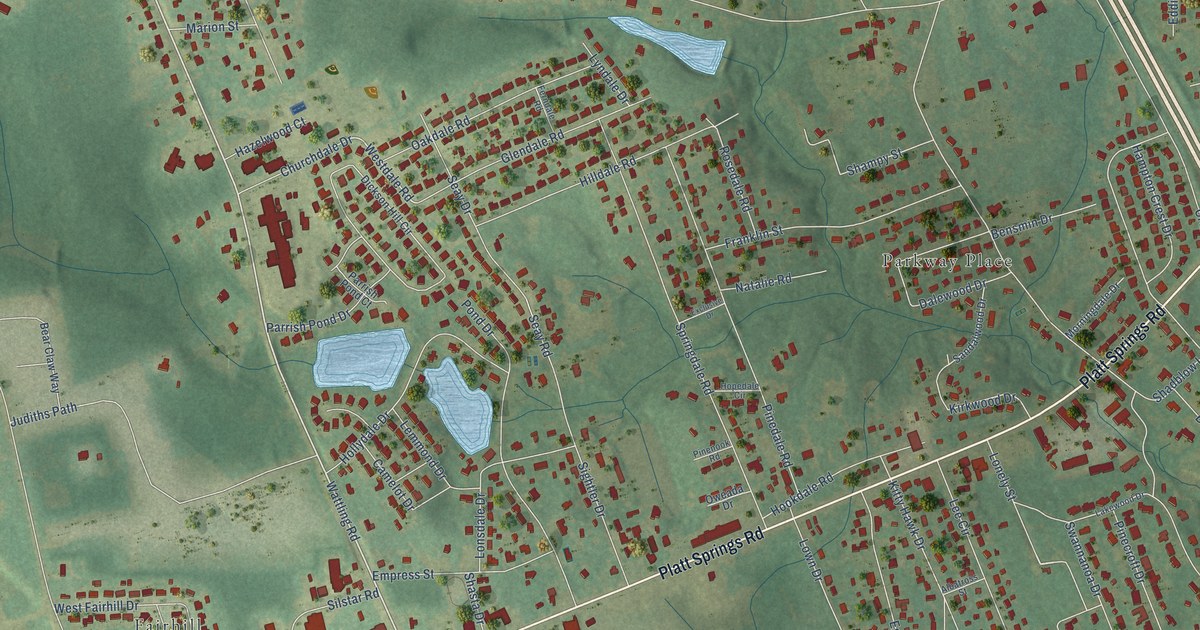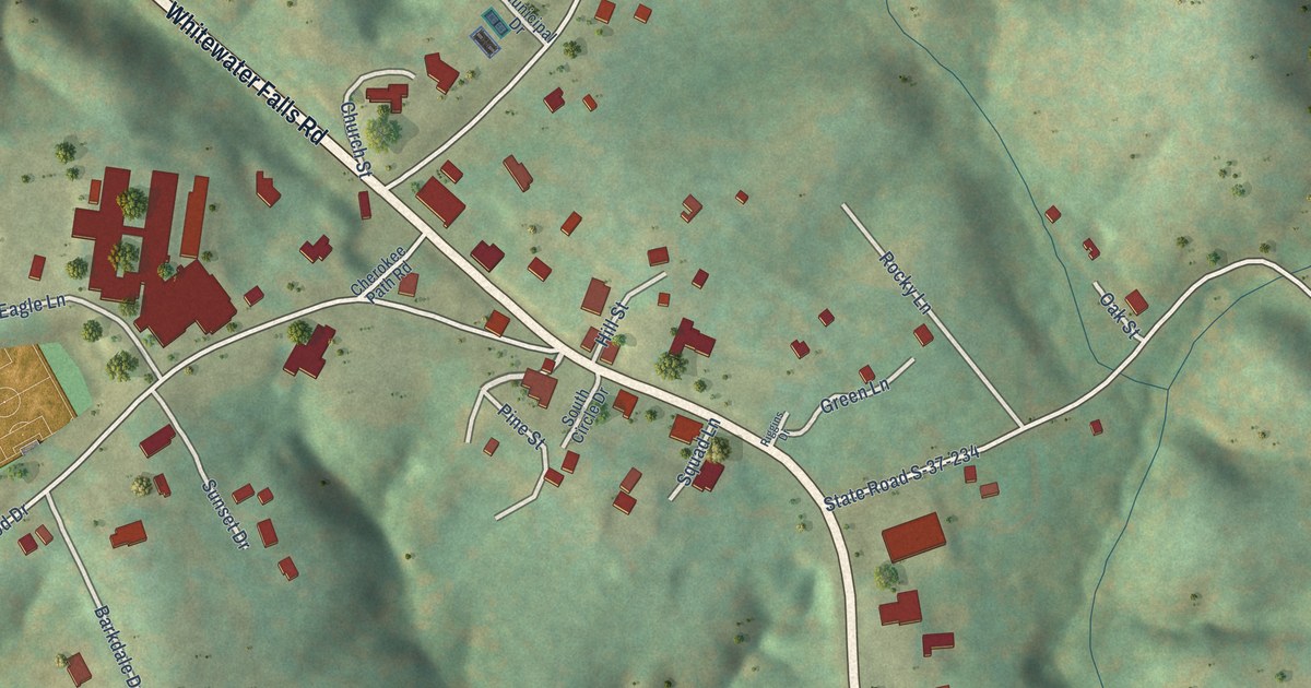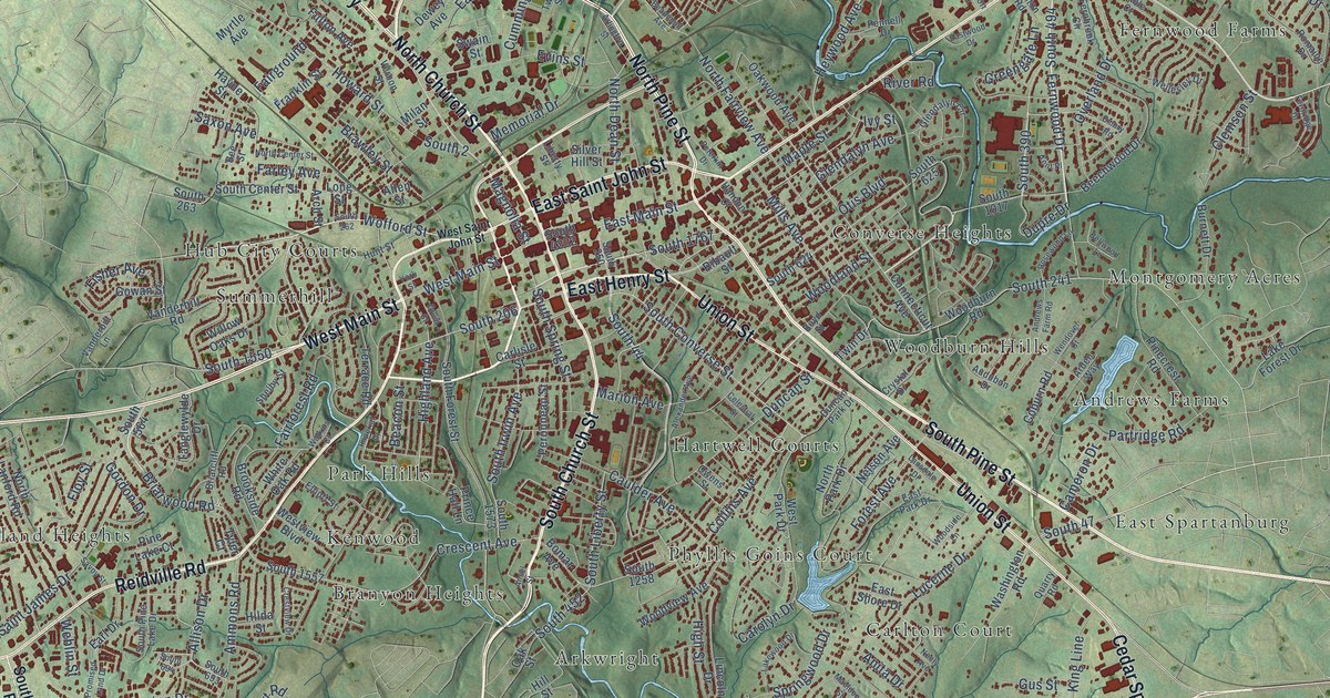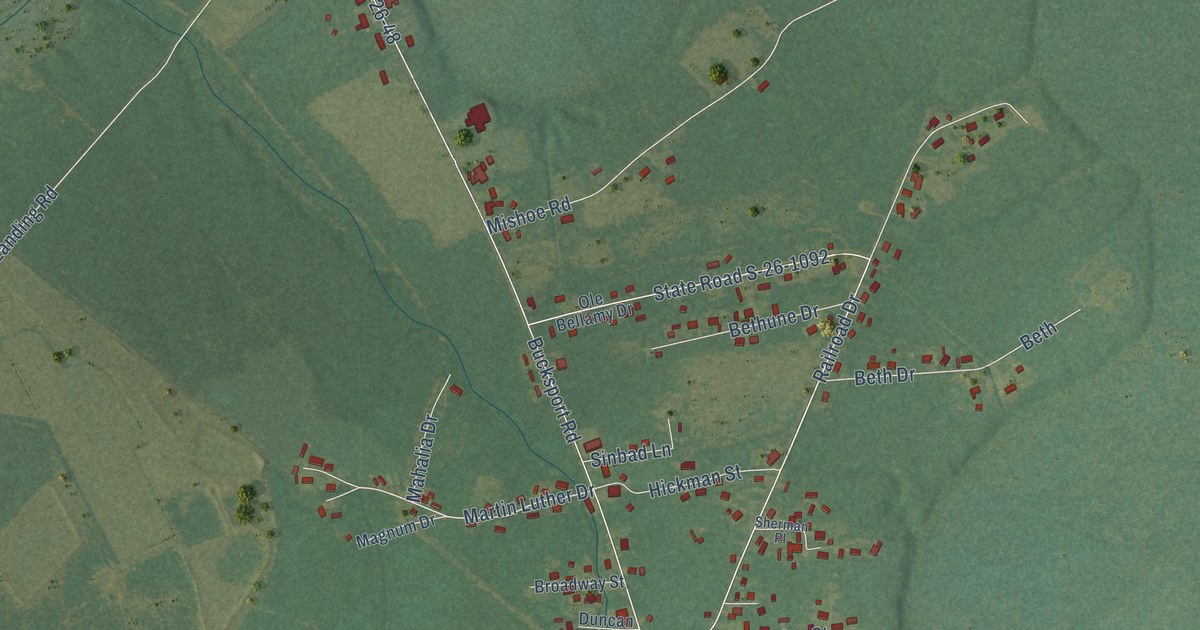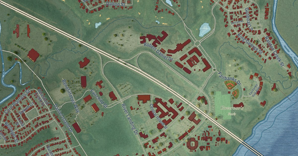
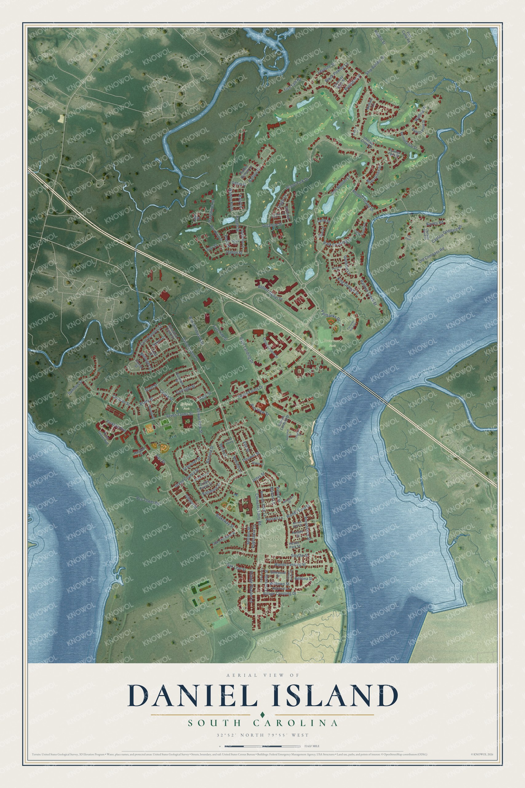
This beautifully detailed map of Daniel Island, South Carolina was created in 2026 using aerial imagery combined with modern topographical, census, street and landmark data. It’s a one-of-a-kind view of Daniel Island that combines accurate data with a vintage aesthetic. The map shows every building in its true location, many of the roads carry their names, and the shaded topographic relief shows the shape of the land.
Explore an aerial view of Daniel Island, South Carolina
On the map you’ll find Governor’s Park, Smythe Park, and Etiwan Park, along with Island Park Drive, Daniel Island Drive, Wando Landing Street, Seven Farms Drive, Smythe Street, Fairchild Street, Blakeway Street, Pierce Street, River Landing Drive, and more. If you look closely you can even find your house accurately drawn in its correct location. Zoom in on the preview to look for yours.
Did You Know?
Daniel Island takes its name from Robert Daniell, a colonial governor of the Carolinas who once lived there. The Etiwan people were its first residents. The Guggenheim Foundation bought the island in 1947. It stayed farmland, cattle range and a hunting retreat until the early 1990s.
Take a closer look at the Daniel Island map
Names on this map
These names are printed on this map.
Places: Governor's Park, Smythe Park and Etiwan Park.
Streets and roads: Island Park Drive, Daniel Island Drive, Wando Landing Street, Seven Farms Drive, Smythe Street, Fairchild Street, Blakeway Street, Pierce Street, River Landing Drive, Corn Planters Street, Barfield Street, Lesesne Street.
More street names, A to Z
Balfour Drive, Baltimore Street, Bayley Road, Beekman Street, Belin Lane, Bellinger Street, Bellona Street, Benefitfocus Way, Bennett Stock Lane, Beresford Creek Street, Bermuda Isle Street, Black Powder Lane, Bokum Lane, Bounty Street, Brady Street, Brailsford Street, Burnham Street, Cape Street, Captain Goddard Road, Captains Island Drive, Cartright Street, Cattle Street, Center Park Street, Central Island Street, Chimney Back Street, Clements Ferry Road, Cochran Street, Cooke Street, Creek Landing Street, Crown Pointe Street, Currier Street, Dalton Street, Daniels Landing Drive, Delahow Street, Despestre Street, Dunham Street, Elfe Street, Etiwan Park Street, Fairbanks Drive, Fairbanks Oak Alley, Farr Street, Fell Point, Ferryman Lane, Fifteen Acres Lane, Fish Camp Road, Fish Tale Road, Furman Farm Place, Gatewood Street, Gibbes Street, Gibbon Street, Gillideau Lane, Ginned Cotton Street, Grand Council Street, Grove Lane, Gulielma Lane, Gunboat Lane, Haswell Street, Hazelhurst Street, Helmsman Street, Hester Park Street, Hidden Bottom Lane, Hooper Street, Illiwan Lane, Iron Bottom Lane, Ithecaw Court, Ithecaw Creek Street, Jenys Street, Katy Lane, King George Street, Lafar Street, Legge Lane, Limburner Lane, Longshore Street, Louisville Street, Lucia Street, Mawan Lane, Melliots Lane, Mitchell Wharf Street, Mortimer Lane, Nobels Point Street, Oak Leaf Street, Oak Overhang Street, Old Compass Road, Olive Lane, Orange Quarter Lane, Pagett Street, Park Crossing Street, Parkline Avenue, Pcs Tower Road, Pier View Street, Pool Lane, Providence Street, Publishers Lane, Purcell Lane, Ralston Creek Street, Reprisal Lane, Rhoden Island Drive, River Green Place, River Grove Avenue, Robert Daniel Drive, Roddin Street, Schooner Street, Scott Street, Settlers Street, Seven Farms Street, Ship Builder Street, Surr Street, Thrower Street, Village Crossing Drive, Wading Place, Wando View Street, Watroo Point, Willtown Street, Woodford Street.
See it on a wall
The Daniel Island map as a framed print. Swipe for more.


This beautifully detailed map of Daniel Island makes an attractive addition to your office, library, or den, and it can even be used to teach children the geography and history of the area. It also makes a great gift for someone who left Daniel Island and still calls it home. When you’re done exploring, click here to get your copy of the Daniel Island map.