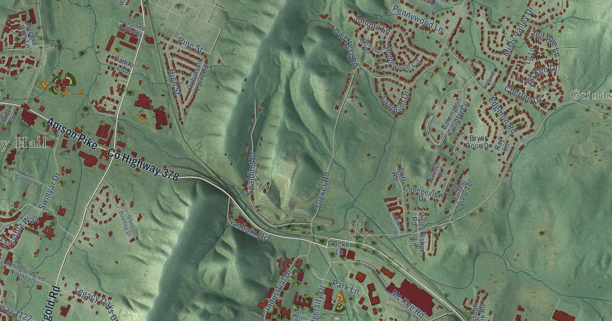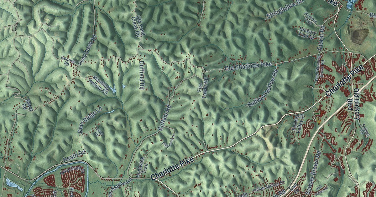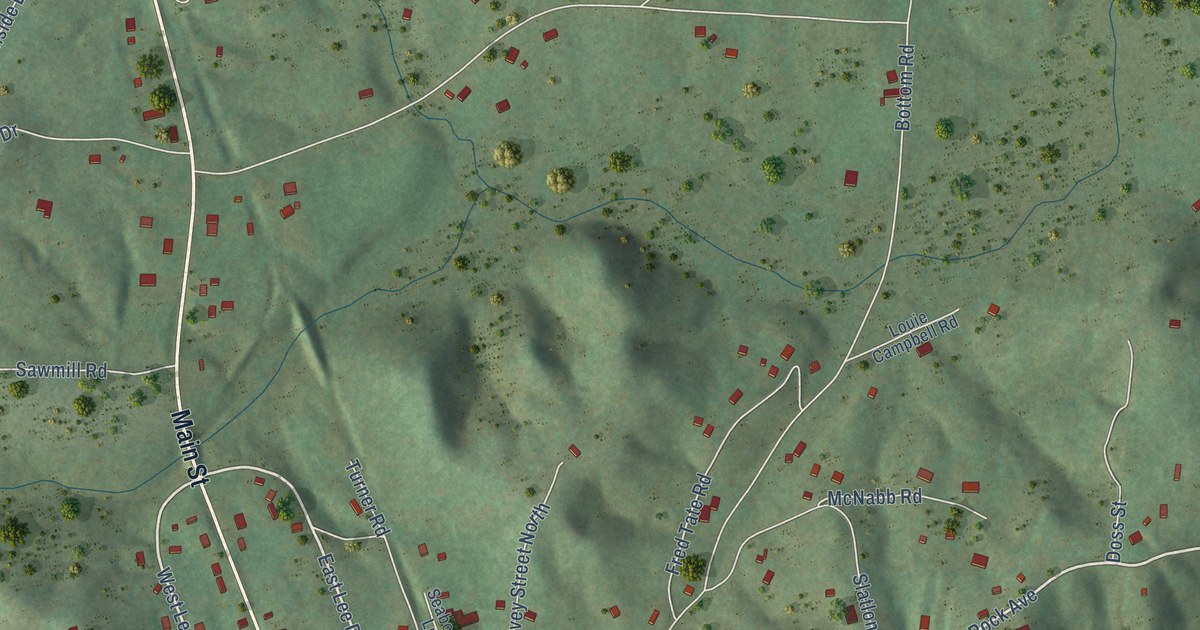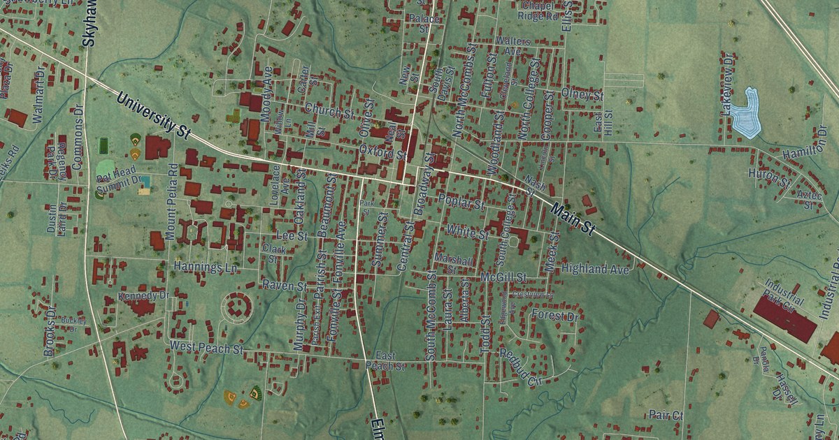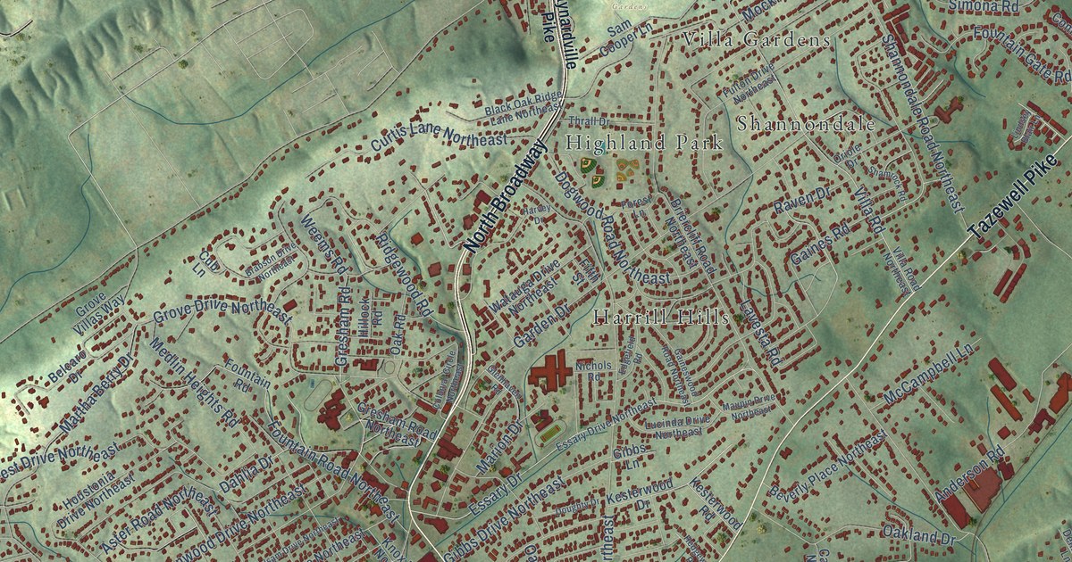
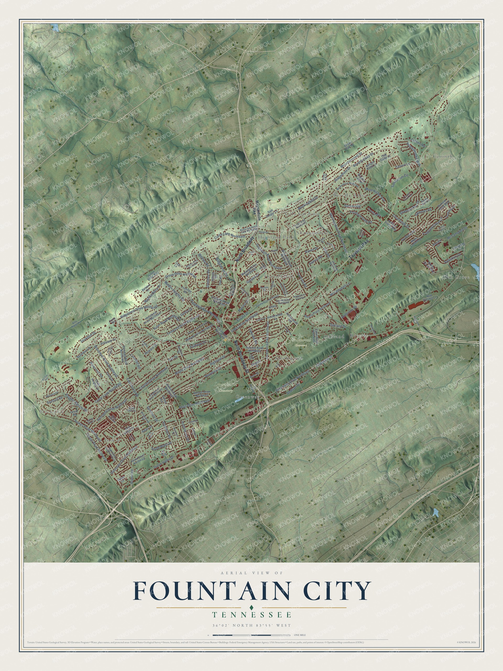
This beautifully detailed map of Fountain City, Tennessee was created in 2026 using aerial imagery combined with modern topographical, census, street and landmark data. It’s a one-of-a-kind view of Fountain City that combines accurate data with a vintage aesthetic. The map shows every building in its true location, many of the roads carry their names, and the shaded topographic relief shows the shape of the land.
Explore an aerial view of Fountain City, Tennessee
On the map you’ll find Black Oak, Baxter Gardens, Greenwood Cemetery, Lynnhurst Cemetery, Corinth, Oak Grove, Beverly Acres, Harrill Hills, Beverly, Smithwood, Inskip, Highland Park, and more. If you look closely you can even find your house accurately drawn in its correct location. Zoom in on the preview to look for yours.
Take a closer look at the Fountain City map
Names on this map
These names are printed on this map.
Places: Black Oak, Baxter Gardens, Greenwood Cemetery, Lynnhurst Cemetery, Corinth, Oak Grove, Beverly Acres, Harrill Hills, Beverly, Smithwood, Inskip, Highland Park, Greenway, Shannondale, Oakland and Villa Gardens.
Streets and roads: Tazewell Pike, North Broadway, North Broadway Street, East Inskip Road, Cedar Lane Northeast, Greenway Drive, Greenway Drive Northeast, Highland Drive, Dutch Valley Drive, Adair Drive, Adair Drive Northeast, Fair Drive.
More street names, A to Z
Addison Drive, Anderson Road, Andover Green Way, Aster Road Northeast, Autumn Kayla Lane, Aylesbury Drive, Balsam Drive Northeast, Belcaro Drive, Beverly Oaks Drive, Beverly Place Northeast, Black Oak Ridge Lane Northeast, Brabson Drive Northeast, Briercliff Road Northeast, Brown Gap Road, Bruhin Road, Buckthorn Drive, Cabin Road Northeast, Calvert Lane, Cedar Heights Drive, Charles Drive Northeast, Clearbrook Drive, Colonial Circle Northeast, Comice Way, Coster Road Northeast, Crown Hill Drive, Cub Lane, Curtis Lane Northeast, Dahlia Drive, Demarcus Lane, Dogwood Road Northeast, Doughty Drive, Dry Gap Pike, East Inskip Drive, Edford Avenue, Edgefield Road, Essary Drive, Essary Drive Northeast, Felix Road, Fenwood Drive Northeast, Fieldwood Drive Northeast, Fifth Street, Forest Lane, Fountain Gate Road, Fountain Road, Fountain Road Northeast, Fragrant Cloud Lane, French Lace Lane, Frosty Way, Fulton Drive Northeast, Gaines Road, Gaineswood Road Northeast, Garden Drive, Gibbs Drive Northeast, Gibbs Lane, Glenhaven Road, Glenoaks Drive Northeast, Gresham Road, Gresham Road Northeast, Griffins Gate Lane, Grove Drive Northeast, Grove Villas Way, Harvey Drive, Haskin Knoll Lane, Haynes-Sterchi Road, Hedgewood Road, Heins Court Northeast, Henrietta Drive Northeast, High School Road Northeast, Hillock Road, Holland Road, Homewood Road, Houstonia Drive Northeast, Howard Drive, Ivy Rose Drive, Jacksboro Pike Northeast, Jenkins Road Northeast, Kesterbrooke Boulevard, Kesterwood Drive, Kesterwood Road, Knox Road Northeast, Lavesta Road, Lifespring Lane, Lindsey Blair Lane, Lockwood Drive, Lowe Road, Lucinda Drive Northeast, Luttrell Road, Lynette Drive, Lynndell Road, Magic Lantern Drive, Malibu Drive Northeast, Maple Drive Northeast, Marion Drive, Martha Berry Drive, Matalin Lane, Maupin Drive Northeast, Maynardville Pike, McCampbell Drive, McCampbell Lane, Medlin Heights Road, Midlake Drive Northeast, Minglewood Road, Mockingbird Drive, Mont Richer Avenue, Mountaincrest Drive, New Harvest Lane, Nichols Road, North Wahli Drive, Norvell Drive Northeast, Oak Glade Lane, Oakland Drive, Oak Road, Oakstone Lane, Oakview Road, Old Broadway, Oriole Drive, Ozark Road, Parkdale Road Northeast, Parkway Drive, Paula Drive, Pilleaux Drive, Pinecrest Road, Plummer Road, Prince Way, Raven Drive, Raven Grove Way, Rennoc Road Northeast, Ridgecrest Drive Northeast, Ridgemont Drive, Ridgewood Road, Rifle Range Road, Rockcrest Road, Rose Drive, Rowan Road Northeast, Sam Cooper Lane, Sanders Drive, Sanford Road, Sanitorium Circle, Seminole Drive, Shamrock Road, Shannondale Road Northeast, Shannon Run Drive, Sharp Lane, Simona Road, Snowdon Drive, South Briscoe Circle, South Park Circle, South Wahli Drive, Summer Rose Boulevard, Swanner Road, Sweetbrier Road, Tazewell Pointe Way, Thrall Drive, Tropicana Drive, Villa Road, Villa Road Northeast, Virginia Lee Lane, Washington Pike, Wassman Road Northeast, Watauga Drive Northeast, Weems Road, West Highland, Wings Way, Woodleaf Drive, Woodrow Drive.
See it on a wall
The Fountain City map as a framed print. Swipe for more.


This beautifully detailed map of Fountain City makes an attractive addition to your office, library, or den, and it can even be used to teach children the geography and history of the area. It also makes a great gift for someone who left Fountain City and still calls it home. When you’re done exploring, click here to get your copy of the Fountain City map.