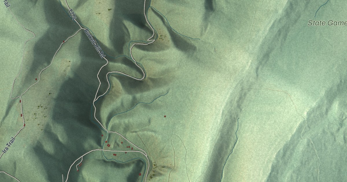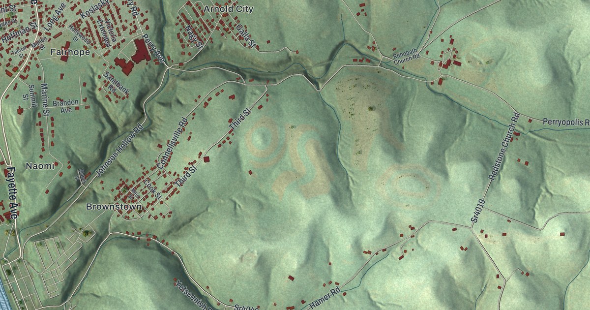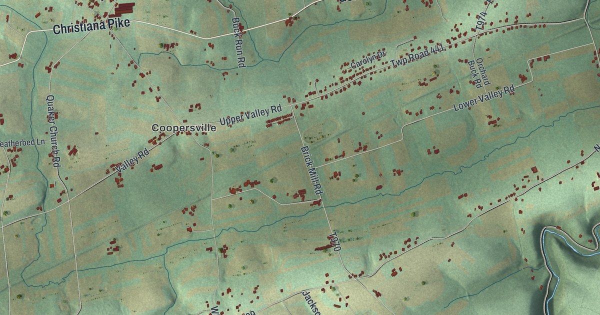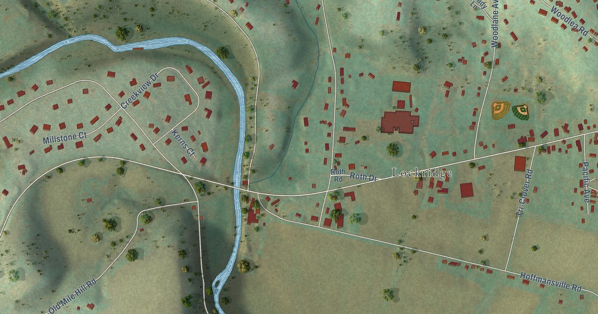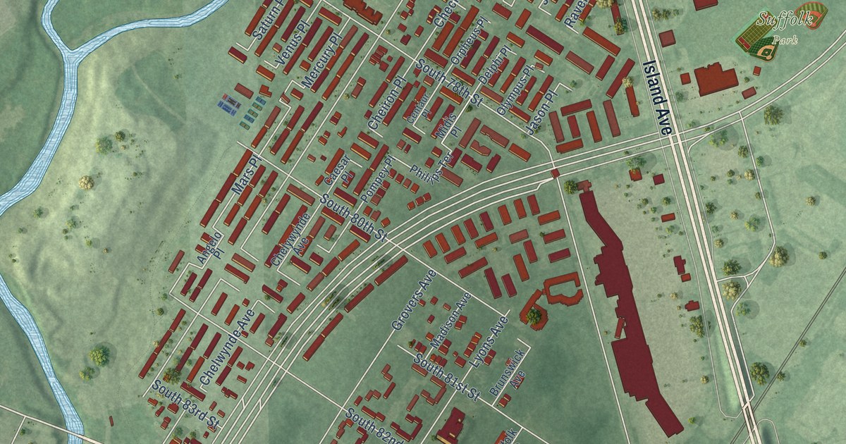
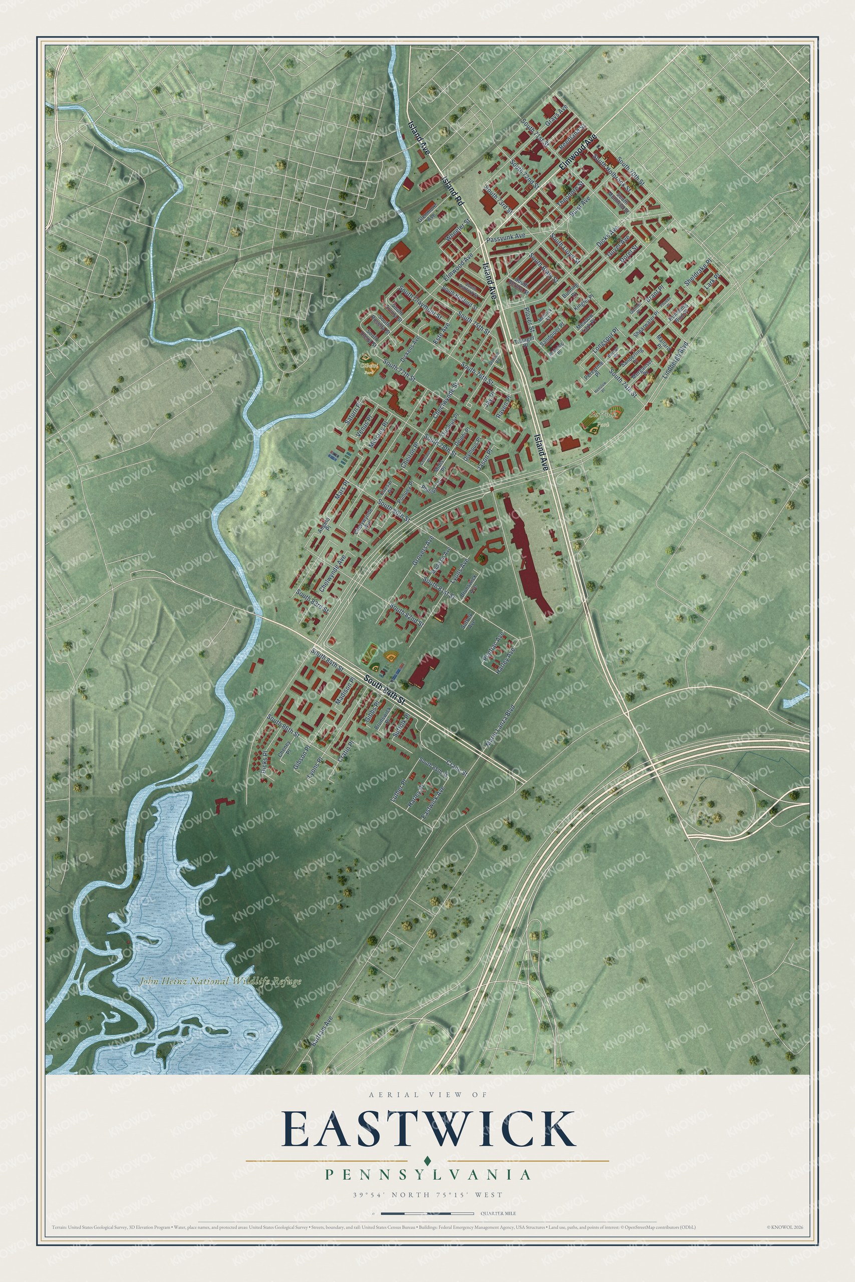
This beautifully detailed map of Eastwick, Pennsylvania was created in 2026 using aerial imagery combined with modern topographical, census, street and landmark data. It’s a one-of-a-kind view of Eastwick that combines accurate data with a vintage aesthetic. The map shows every building in its true location, many of the roads carry their names, and the shaded topographic relief shows the shape of the land.
Explore an aerial view of Eastwick, Pennsylvania
On the map you’ll find John Heinz National Wildlife Refuge, Suffolk Park, Cibotti Park, and Mars Place, along with Island Avenue, South 84th Street, Elmwood Avenue, Island Road, Lindbergh Boulevard, Dicks Avenue, South 82nd Street, Wheeler Street, and more. If you look closely you can even find your house accurately drawn in its correct location. Zoom in on the preview to look for yours.
Did You Know?
From Internet Archive: "Margery turned him, the first of the Smith's to Quakerism, effacing for one hundred years thereafter the Episcopalianism that had held all of the Smith and Eastwick forbears for centuries."
Eastwick is a place in Philadelphia County.
Take a closer look at the Eastwick map
Names on this map
These names are printed on this map.
Places: John Heinz National Wildlife Refuge, Suffolk Park and Cibotti Park.
Streets and roads: Island Avenue, South 84th Street, Elmwood Avenue, Island Road, Lindbergh Boulevard, Dicks Avenue, South 82nd Street, Wheeler Street, Mars Place, Plover Street, Longspur Place, Buist Avenue.
More street names, A to Z
Angelo Place, Bartram Avenue, Boreal Place, Brant Place, Brunswick Avenue, Brunswick Place, Bunting Place, Caesar Place, Centaur Place, Checlwynde Street, Cheiron Place, Chelwynde Avenue, Chelywynde Avenue, Cheney Place, Crane Street, Cratin Place, Delphi Place, Dickens Avenue, Dicks Place, Dorel Street, Dothan Road, Eastwick Avenue, Este Avenue, Gannet Place, Gibbs Place, Gibson Place, Glenmore Avenue, Grays Avenue, Grovers Avenue, Guyer Avenue, Harley Avenue, Harley Place, Henslow Place, Humming Bird Place, Jason Place, Jay Place, Kinglet Place, Lark Place, Luther Place, Lyons Avenue, Lyons Place, Madison Avenue, Madison Place, Mallard Place, Mario Lanza Boulevard, Meadow Lark Place, Medrick Place, Mercury Place, Merganser Place, Midis Place, Olympus Place, Orpheus Place, Passyunk Avenue, Peregrine Place, Phillips Terrace, Phoebe Place, Pompey Place, Pontiac Avenue, Raven Place, Redwing Place, Reedland Street, Sanderling Place, Sandpiper Place, Saturn Place, Shearwater Place, Sheldrake Place, South 70th Street, South 71st Street, South 72nd Street, South 73rd Street, South 74th Street, South 75th Street, South 76th Street, South 77th Street, South 78th Street, South 80th Street, South 81st Street, South 83rd Street, South 85th Street, South 86th Street, South Arcola Street, South Ashford Street, South Bellford Street, South Berbro Street, South Bialy Street, South Claymont Street, South Holbrook Street, South Lloyd Street, South Muhlfeld Street, South Rosella Street, South Ulena Street, Suffolk Avenue, Suffolk Place, Tanager Place, Theodore Street, Venus Place.
See it on a wall
The Eastwick map as a framed print. Swipe for more.


This beautifully detailed map of Eastwick makes an attractive addition to your office, library, or den, and it can even be used to teach children the geography and history of the area. It also makes a great gift for anyone with Eastwick roots. When you’re done exploring, click here to get your copy of the Eastwick map.