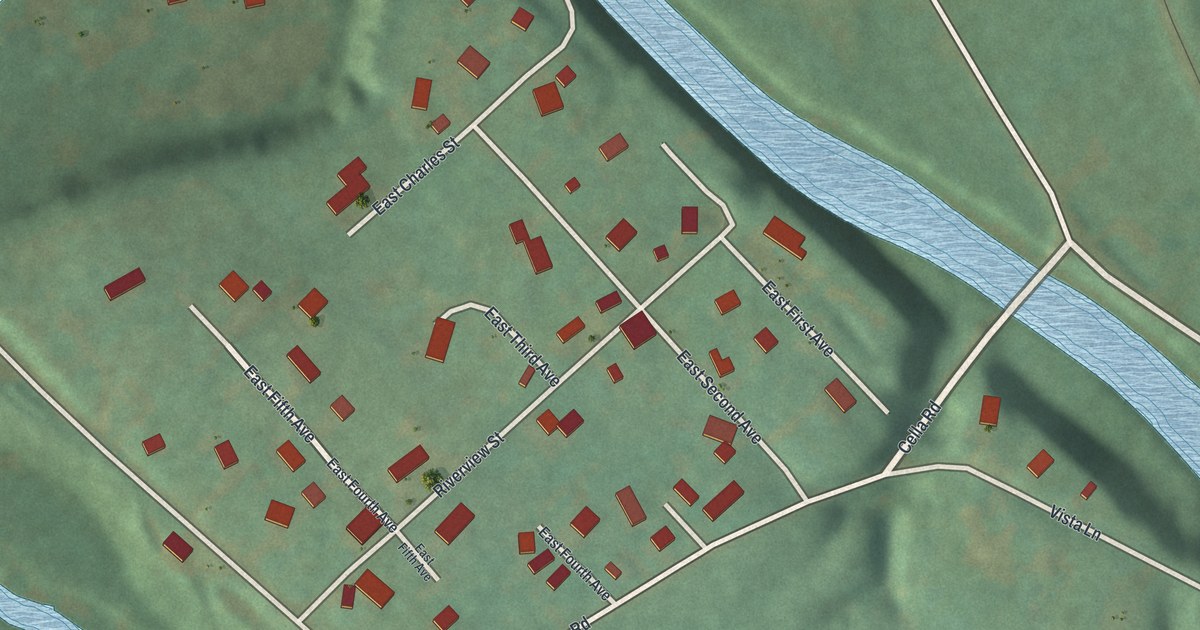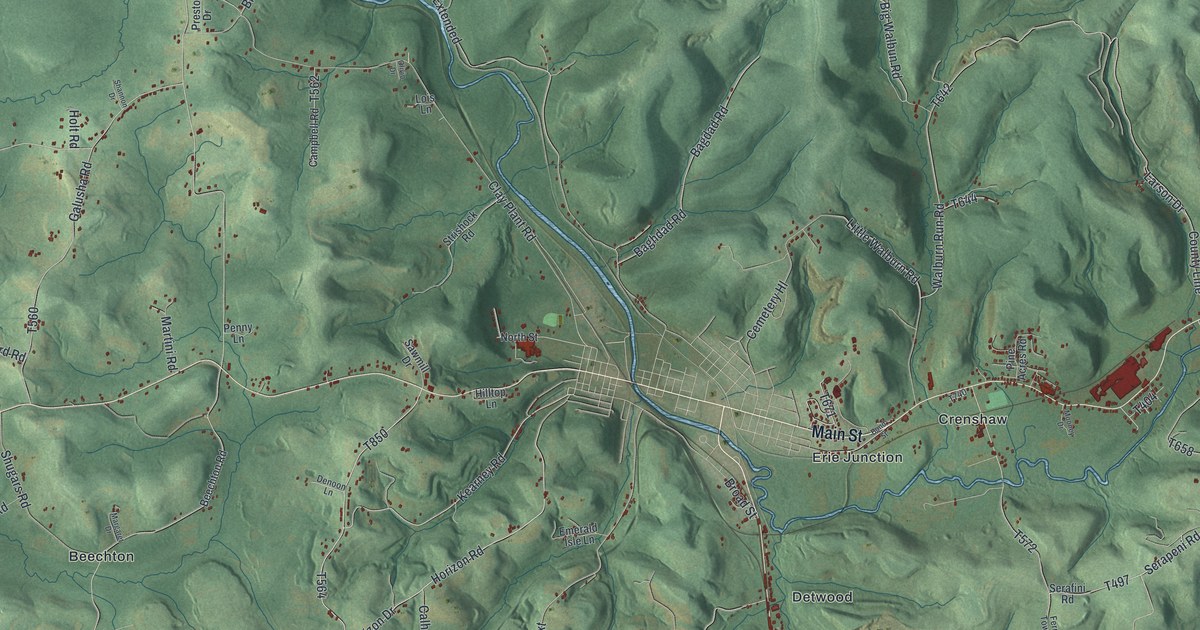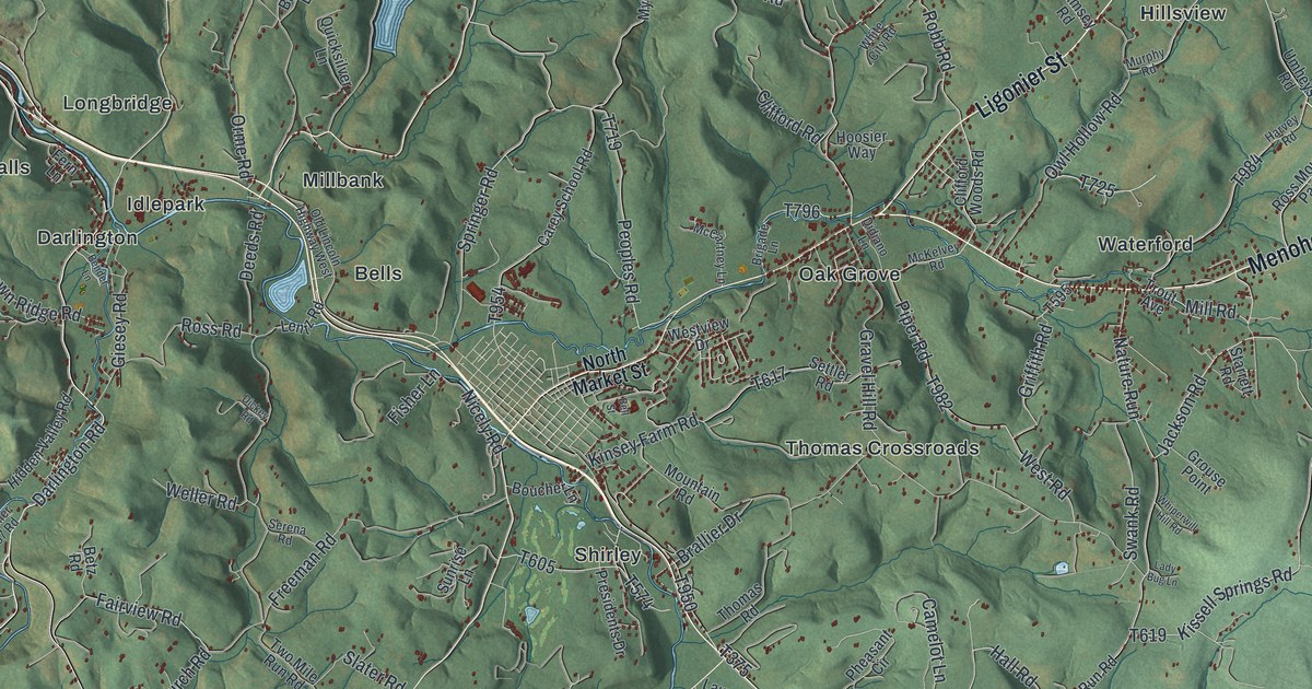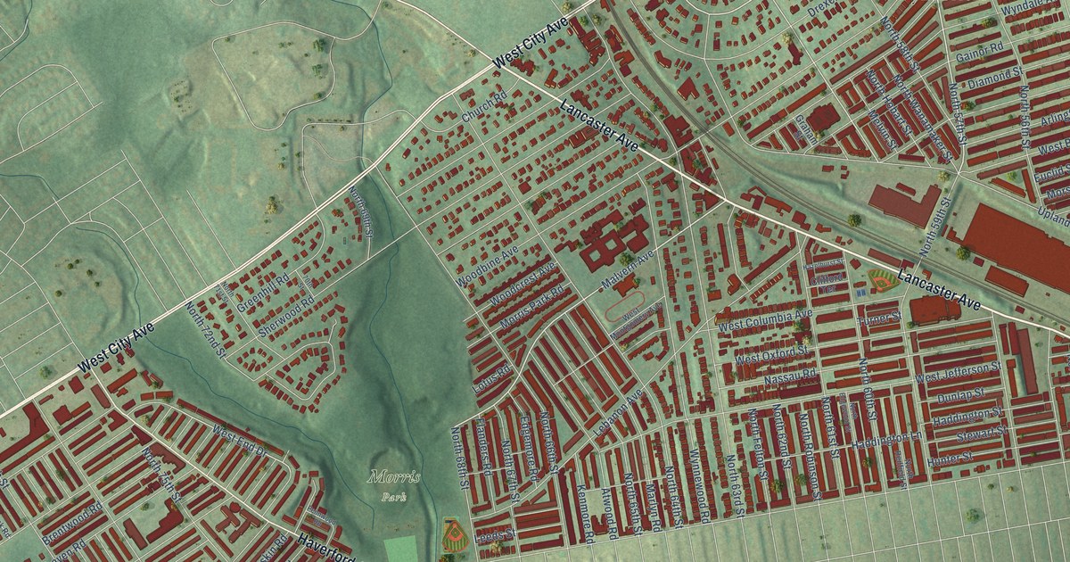
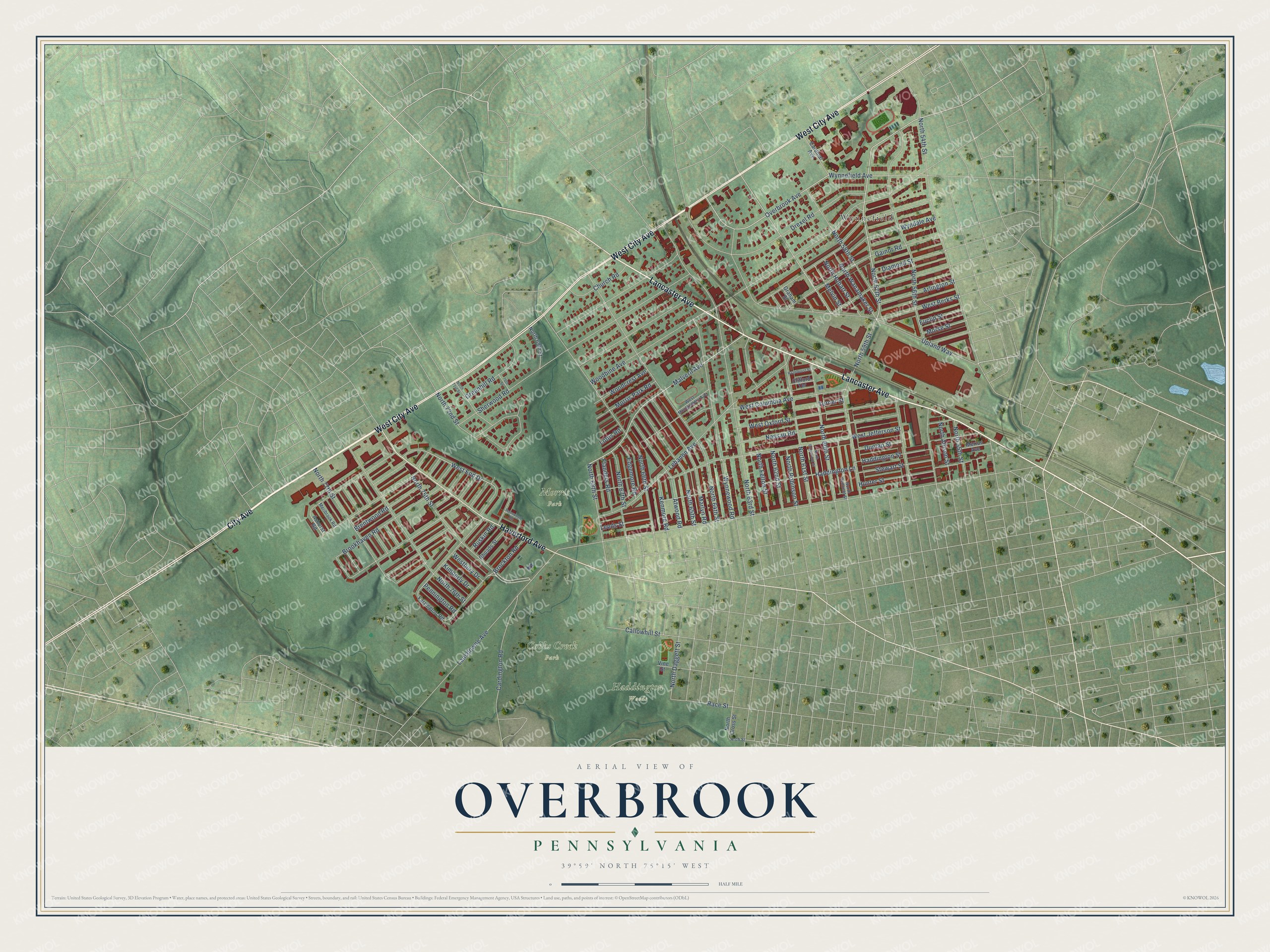
This beautifully detailed map of Overbrook, Pennsylvania was created in 2026 using aerial imagery combined with modern topographical, census, street and landmark data. It’s a one-of-a-kind view of Overbrook that combines accurate data with a vintage aesthetic. The map shows every building in its true location, many of the roads carry their names, and the shaded topographic relief shows the shape of the land.
Explore an aerial view of Overbrook, Pennsylvania
On the map you’ll find Cobbs Creek Park, Haddington Woods, Morris Park, and Wynnefield, along with West City Avenue, Lancaster Avenue, Haverford Avenue, City Avenue, Overbrook Avenue, Malvern Avenue, North 57th Street, North 59th Street, and more. If you look closely you can even find your house accurately drawn in its correct location. Zoom in on the preview to look for yours.
Did You Know?
From Internet Archive: "Leonard Frailey settled at Overbrook, on a farm which long remained in the hands of his descendants."
Overbrook is a place in Philadelphia County.
Take a closer look at the Overbrook map
Names on this map
These names are printed on this map.
Places: Cobbs Creek Park, Haddington Woods, Morris Park and Wynnefield.
Streets and roads: West City Avenue, Lancaster Avenue, Haverford Avenue, City Avenue, Overbrook Avenue, Malvern Avenue, North 57th Street, North 59th Street, North 75th Street, West End Drive, Lansdowne Avenue, Woodbine Avenue.
More street names, A to Z
70th Street, Arch Street, Arlington Street, Ashurst Road, Atwood Road, Brentwood Road, Brockton Road, Brookhaven Road, Callowhill Street, Cardinal Avenue, Cardington Road, Church Road, Clifford Terrace, Diamond Street, Drexel Road, Dunlap Street, Edgemore Road, Euclid Street, Farrington Road, Flanders Road, Gainor Road, Graham Street, Greenhill Road, Haddington Lane, Haddington Street, Hazelhurst Street, Hunter Street, Kenmore Road, Kimberly Drive, Lebanon Avenue, Leeds Street, Lotus Road, Marlyn Road, Melvin Street, Meribrook Road, Merion Avenue, Morris Park Road, Morse Street, Nassau Road, North 54th Street, North 55th Street, North 56th Street, North 58th Street, North 60th Street, North 61st Street, North 62nd Street, North 63rd Street, North 64th Street, North 65th Street, North 66th Street, North 67th Street, North 68th Street, North 69th Street, North 71st Street, North 72nd Street, North 76th Street, North 77th Street, North Allison Street, North Daggett Street, North Edgewood Street, North Felton Street, North Gross Street, North Hobart Street, North Redfield Street, North Robinson Street, North Wanamaker Street, Pennington Road, Pennwood Road, Race Street, Rhoads Street, Ruskin Road, Sherwood Road, Stewart Street, Turner Street, Upland Way, Vine Street, West Berks Street, Westbury Drive, West Columbia Avenue, West Jefferson Street, West Montgomery Avenue, West Oxford Street, Woodcrest Avenue, Wyndale Avenue, Wynnefield Avenue, Wynnewood Road.
See it on a wall
The Overbrook, Philadelphia map as a framed print. Swipe for more.


This beautifully detailed map of Overbrook, Philadelphia makes an attractive addition to your office, library, or den, and it can even be used to teach children the geography and history of the area. It also makes a great gift for anyone who grew up in Overbrook or moved away. When you’re done exploring, click here to get your copy of the Overbrook, Philadelphia map.