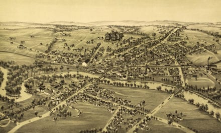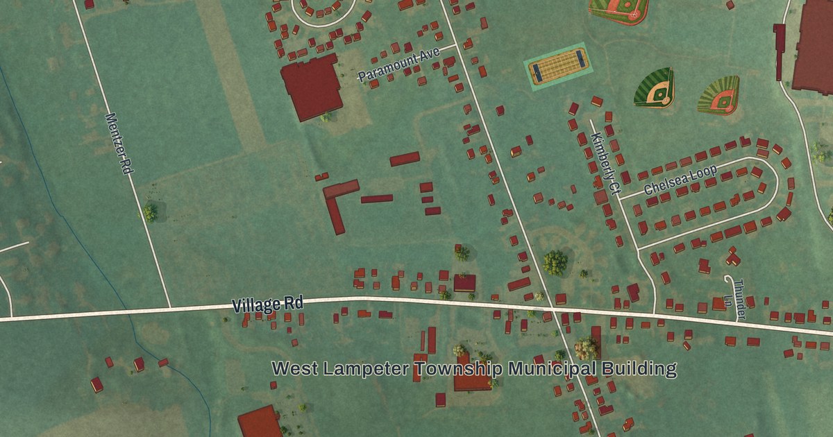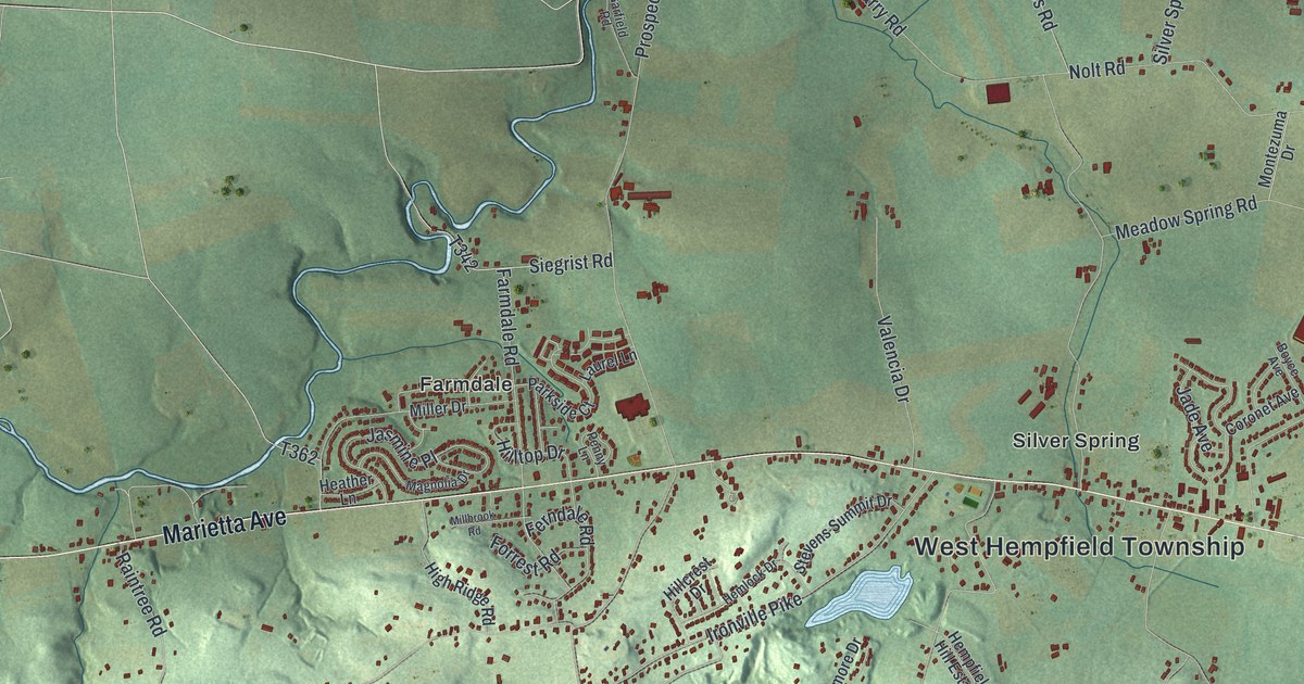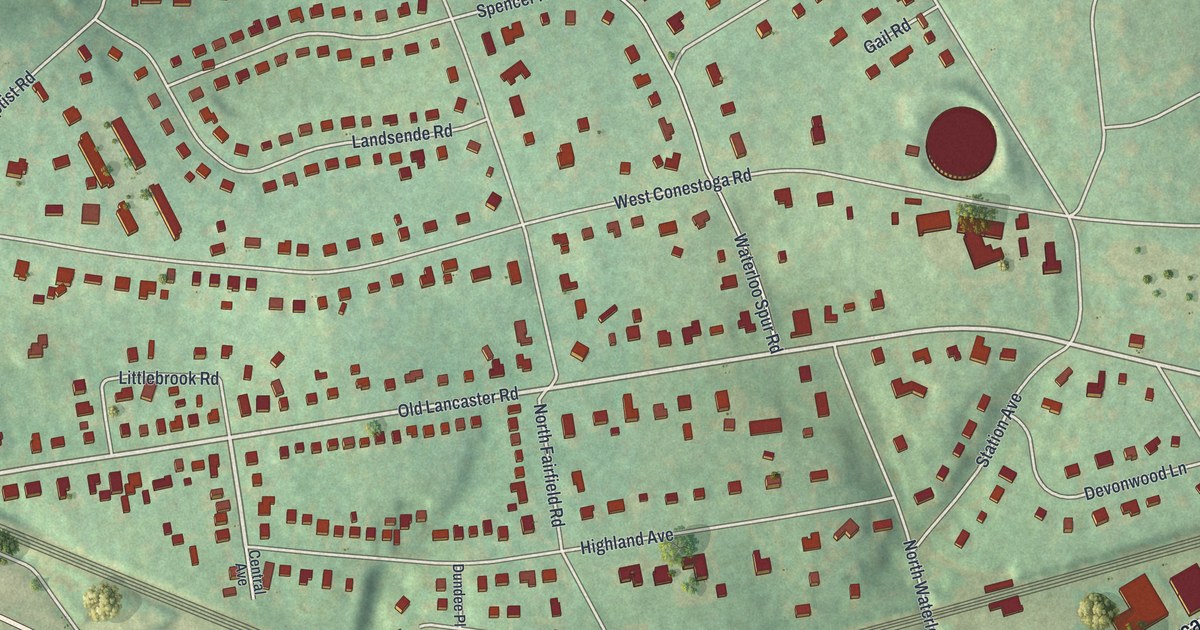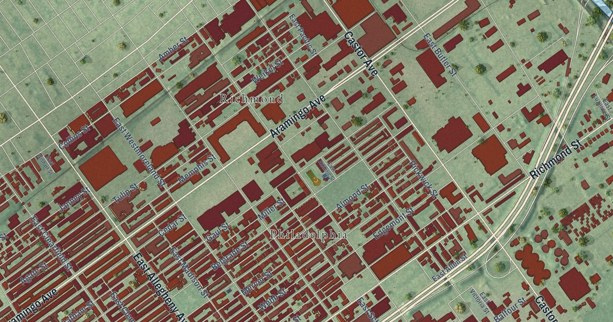
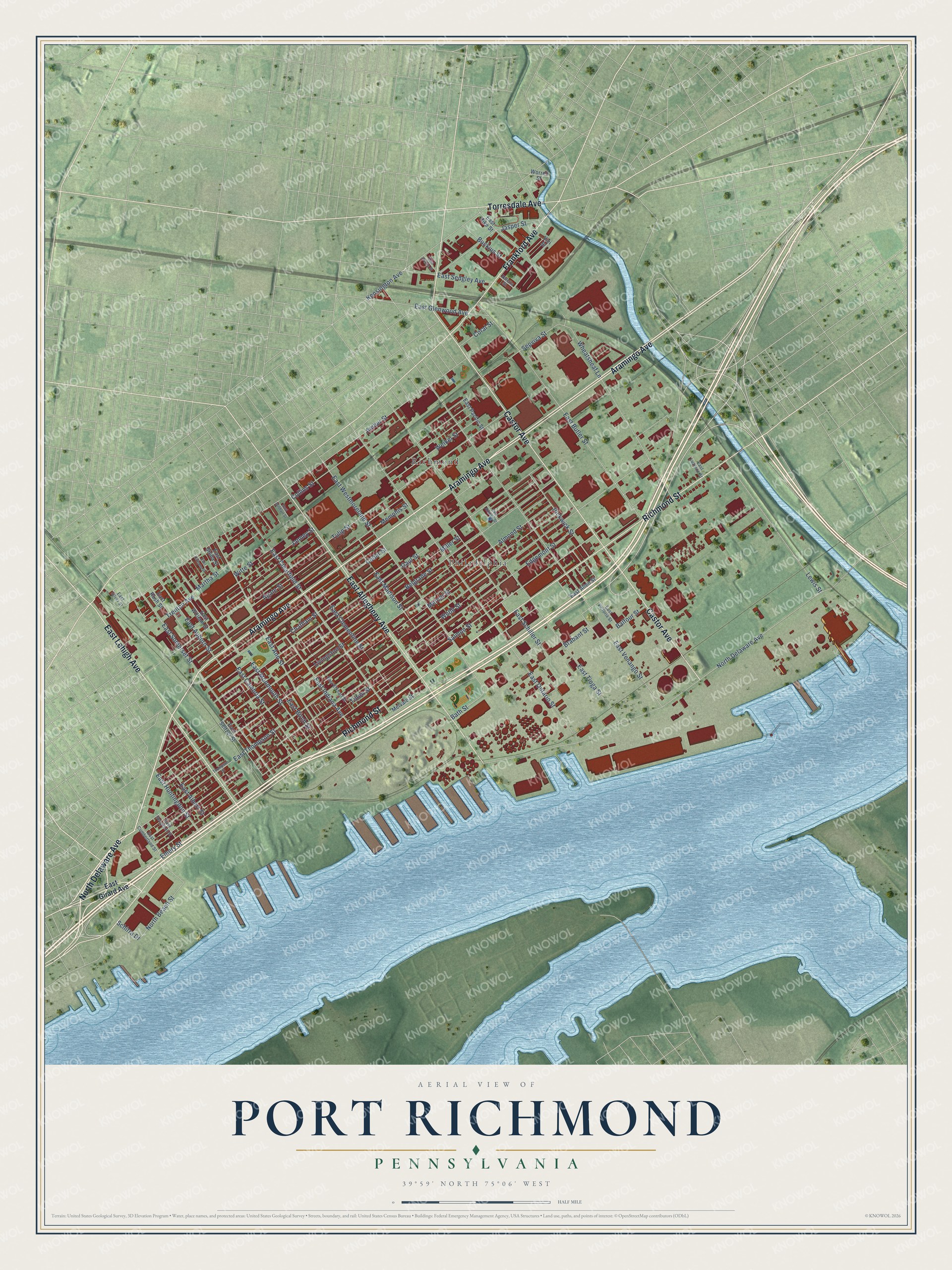
This beautifully detailed map of Port Richmond, Pennsylvania was created in 2026 using aerial imagery combined with modern topographical, census, street and landmark data. It’s a one-of-a-kind view of Port Richmond that combines accurate data with a vintage aesthetic. The map shows every building in its true location, many of the roads carry their names, and the shaded topographic relief shows the shape of the land.
Explore an aerial view of Port Richmond, Pennsylvania
On the map you’ll find Philadelphia and Richmond, along with Aramingo Avenue, Richmond Street, Castor Avenue, East Allegheny Avenue, East Lehigh Avenue, Frankford Avenue, North Delaware Avenue, Torresdale Avenue, Bath Street, North Beach Street, and more. If you look closely you can even find your house accurately drawn in its correct location. Zoom in on the preview to look for yours.
Did You Know?
From Internet Archive: "The Church of Onr Lady of the Hatiyity, Belgrade Street, Port Richmond, was founded in 1882, being dedicated on Aug. 22d of that year."
Port Richmond is a place in Philadelphia County.
Take a closer look at the Port Richmond map
Names on this map
These names are printed on this map.
Places: Philadelphia and Richmond.
Streets and roads: Aramingo Avenue, Richmond Street, Castor Avenue, East Allegheny Avenue, East Lehigh Avenue, Frankford Avenue, North Delaware Avenue, Torresdale Avenue, Bath Street, North Beach Street, Jasper Street, East Thompson Street.
More street names, A to Z
Agate Street, Almond Street, Amber Street, Balfour Street, Belgrade Street, Brabant Street, Buckius Street, Cedar Street, Chatham Street, Collins Street, Coral Street, East Airdrie Street, East Albert Street, East Allen Street, East Ann Street, East Atlantic Street, East Auburn Street, East Birch Street, East Butler Street, East Cambria Street, East Clearfield Street, East Clementine Street, East Cumberland Street, East Elkhart Street, East Girard Avenue, East Glenwood Avenue, East Huntingdon Street, East Indiana Avenue, East Luzerne Street, East Madison Street, East Monmouth Street, East Ontario Street, East Orleans Street, East Pacific Street, East Pike Street, East Rush Street, East Schiller Street, East Sedgley Avenue, East Seltzer Street, East Sergeant Street, East Silver Street, East Somerset Street, East Stella Street, East Tioga Street, East Venango Street, East Victoria Street, East Westmoreland Street, East William Street, East Wishart Street, Edgemont Street, Emery Street, Gaul Street, Janney Street, Kensington Avenue, Lewis Street, Livingston Street, Martha Street, Melvale Street, Memphis Street, Mercer Street, Miller Street, Pickwick Street, Salmon Street, Schirra Drive, Sepviva Street, Thompson Street, Tilton Street, Trenton Avenue, Tulip Street, Valetta Street, Vici Street, Webb Street, Weikel Street, Wheatsheaf Lane, Witte Street, Worrell Street.
See it on a wall
The Port Richmond map as a framed print. Swipe for more.


This beautifully detailed map of Port Richmond makes an attractive addition to your office, library, or den, and it can even be used to teach children the geography and history of the area. It also makes a great gift for anyone who grew up in Port Richmond or moved away. When you’re done exploring, click here to get your copy of the Port Richmond map.