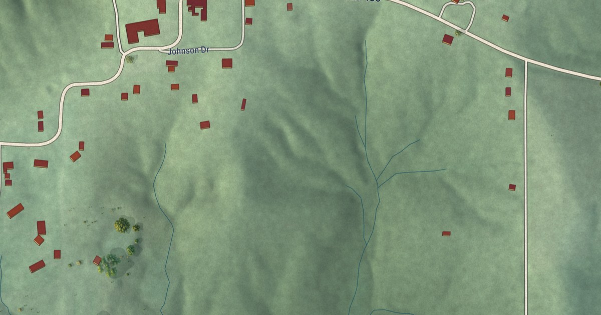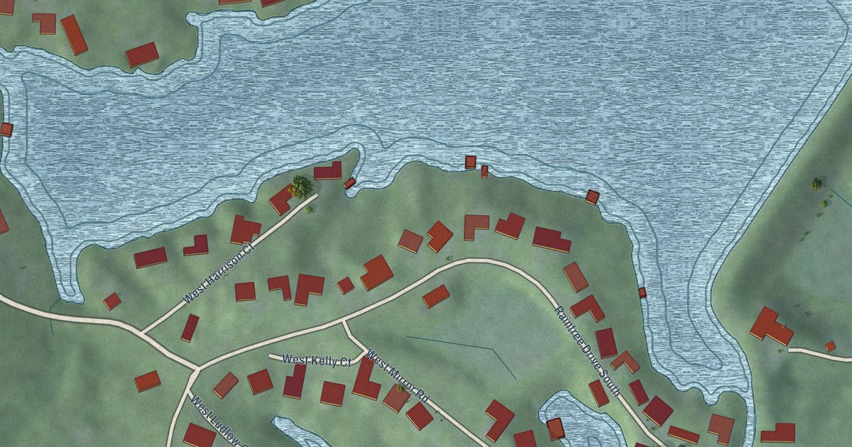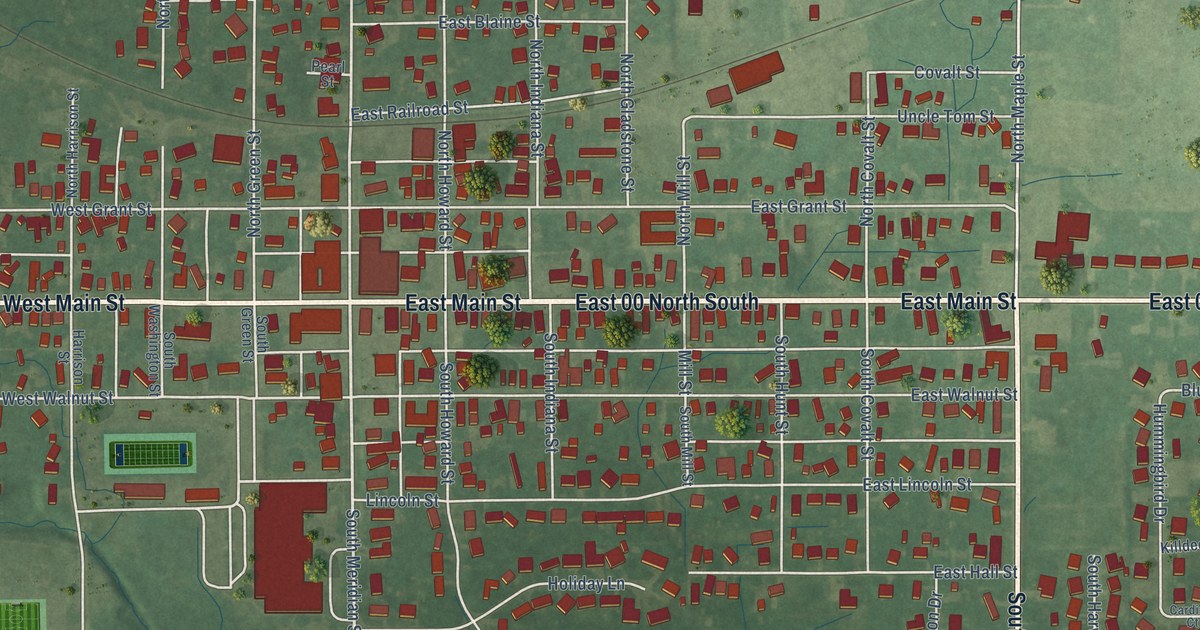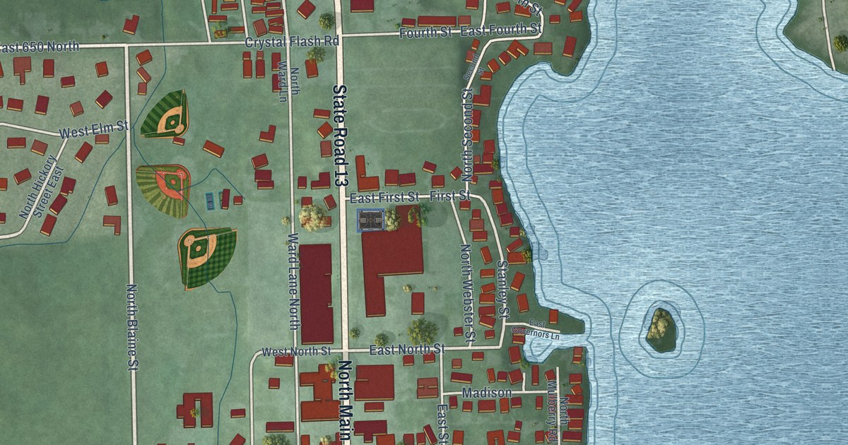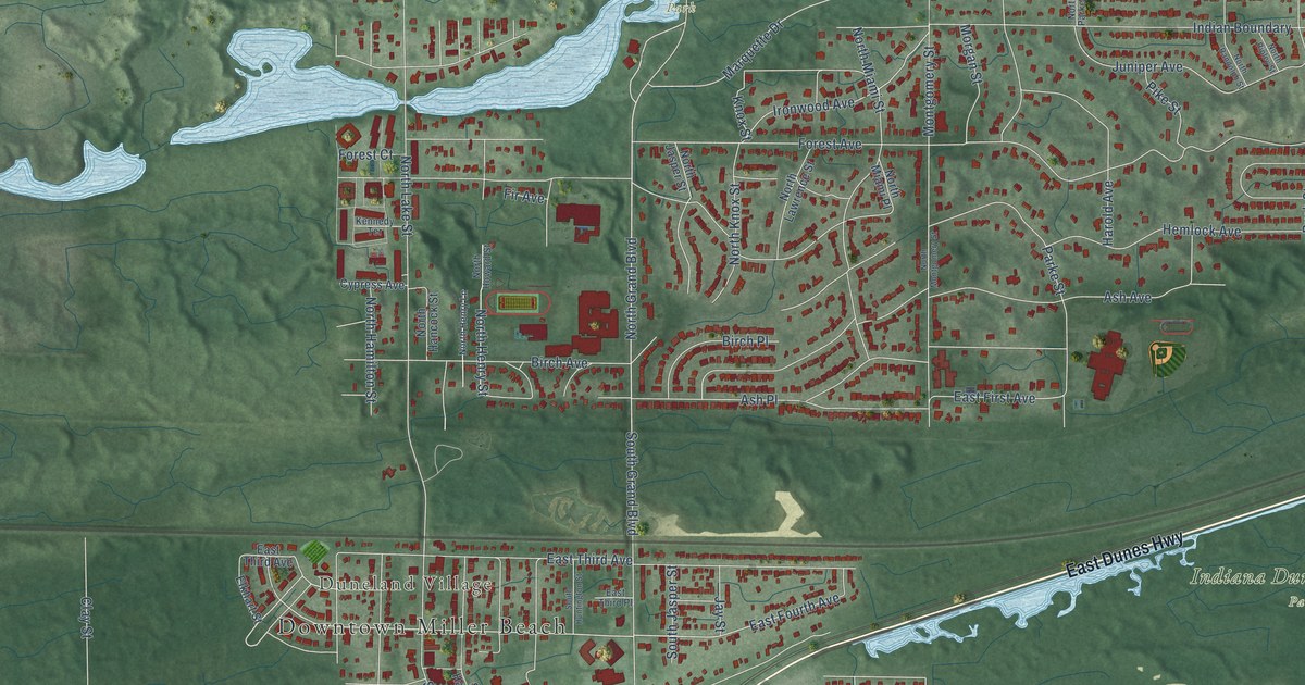
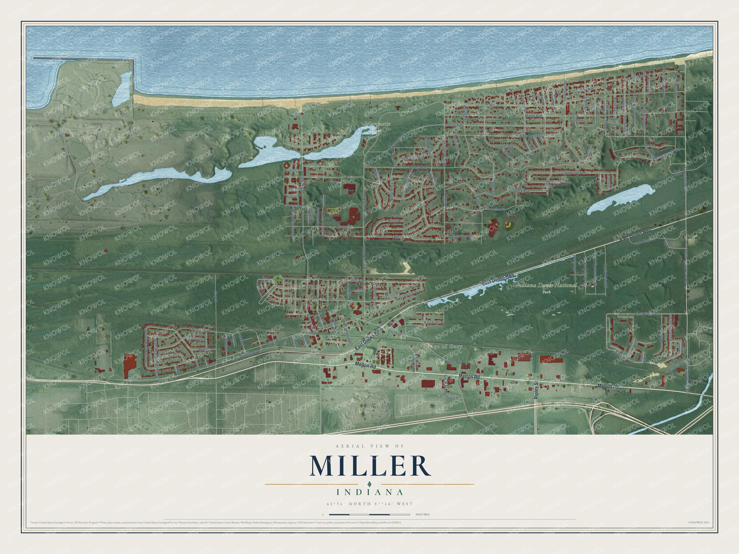
This beautifully detailed map of Miller, Indiana was created in 2026 using aerial imagery combined with modern topographical, census, street and landmark data. It’s a one-of-a-kind view of Miller that combines accurate data with a vintage aesthetic. The map shows every building in its true location, many of the roads carry their names, and the shaded topographic relief shows the shape of the land.
Explore an aerial view of Miller, Indiana
On the map you’ll find Downtown Miller Beach, Duneland Village of Gary, Duneland Village, Indiana Dunes National Park, and Marquette Park, along with Melton Road, East Dunes Highway, Ripley Street, County Line Road, East Fifth Avenue, South Union Street, East Sixth Drive, and more. If you look closely you can even find your house accurately drawn in its correct location. Zoom in on the preview to look for yours.
Did You Know?
From Internet Archive: "Miller Ludlum, res 417 n Main Miller Miss Mary C, school teacher, bds 608 n Main Miller Miss May, bds 912s Main Miller Milton, lab, res 419 Queen Miller Miss Minnie, stenographer, bds 402 s Third."
Miller is a place in Lake County.
Take a closer look at the Miller map
Names on this map
These names are printed on this map.
Places: Downtown Miller Beach, Duneland Village of Gary, Duneland Village, Indiana Dunes National Park and Marquette Park.
Streets and roads: Melton Road, East Dunes Highway, Ripley Street, County Line Road, East Fifth Avenue, South Union Street, East Sixth Drive, South County Line Road, North Grand Boulevard, North County Line Road, Oak Avenue, Miller Avenue.
More street names, A to Z
Access Road, Allen Street, Ash Avenue, Ash Place, Atcheson Drive, Birch Avenue, Birch Place, Cass Court, Clay Street, Cypress Avenue, Dearborn Street, Decatur Street, Dekalb Street, East Fifth Place, East First Avenue, East Fourth Avenue, East Seventh Avenue, East Sixth Avenue, East Sixth Place, East Sixth Street, East Third Avenue, East Third Place, Elkhart Street, Fir Avenue, Forest Avenue, Forest Court, Greene Street, Harold Avenue, Hemlock Avenue, Hickory Avenue, Hobart Road, Indian Boundary, Ironwood Avenue, Jay Street, Juniper Avenue, Kennedy Terrace, Knox Street, Lake Shore Drive, Lakewood Avenue, Locust Avenue, Maple Avenue, Marquette Drive, Miller Lane, Montgomery Street, Morgan Street, Newton Street, North Hamilton Street, North Hancock Street, North Henry Lane, North Henry Street, North Howard Street, North Jasper Street, North Knox Street, North Lake Street, North Lawrence Street, North Miami Place, North Miami Street, North Montgomery Street, North Parke Street, North Randolph Street, North Ripley Street, North Rush Street, North Shelby Street, North Tippecanoe Place, North Tippecanoe Street, North Union Street, North Vanderburg Street, North Vermillion Street, North Vigo Street, North Warren Street, North Warrick Street, North Wayne Street, North Wells Street, Oak Ridge Drive, Parke Street, Pike Street, Pine Avenue, Pinecrest Way, Pottawatomi Trail, Putnam Street, Randolph Street, Rush Street, Ryan Court, Saint Joseph Street, South Grand Boulevard, South Hamilton Street, South Hancock Street, South Henry Street, South Howard Street, South Huntington Street, South Jasper Street, South Lake Street, South Lawrence Street, South Montgomery Street, South New Hampshire Street, South New Jersey Street, South Spencer Street, South Sullivan Street, South Tippecanoe Street, South Vermillion Place, South Vigo Place, South Wayne Street, South Wells Street, Spencer Street, State Street, Sullivan Street, Sunrise Boulevard, Tippecanoe Street, Union Place, Union Street, Vermillion Street, Warren Street, Warrick Street, West Beach.
See it on a wall
The Miller map as a framed print. Swipe for more.


This beautifully detailed map of Miller makes an attractive addition to your office, library, or den, and it can even be used to teach children the geography and history of the area. It also makes a great gift for anyone with Miller roots. When you’re done exploring, click here to get your copy of the Miller map.