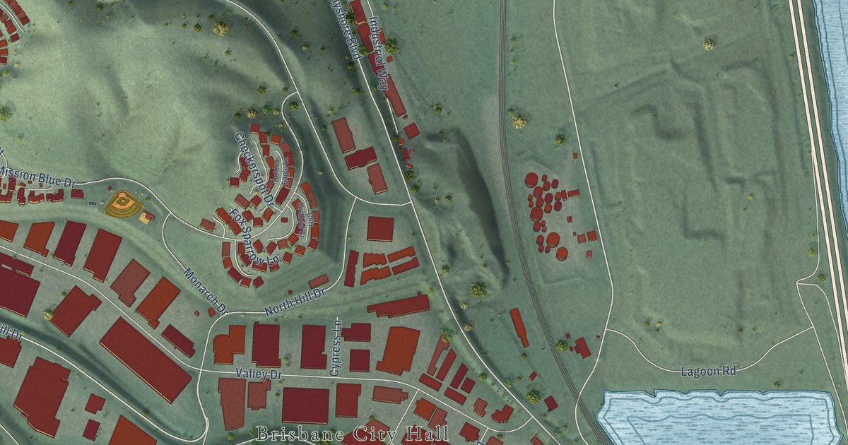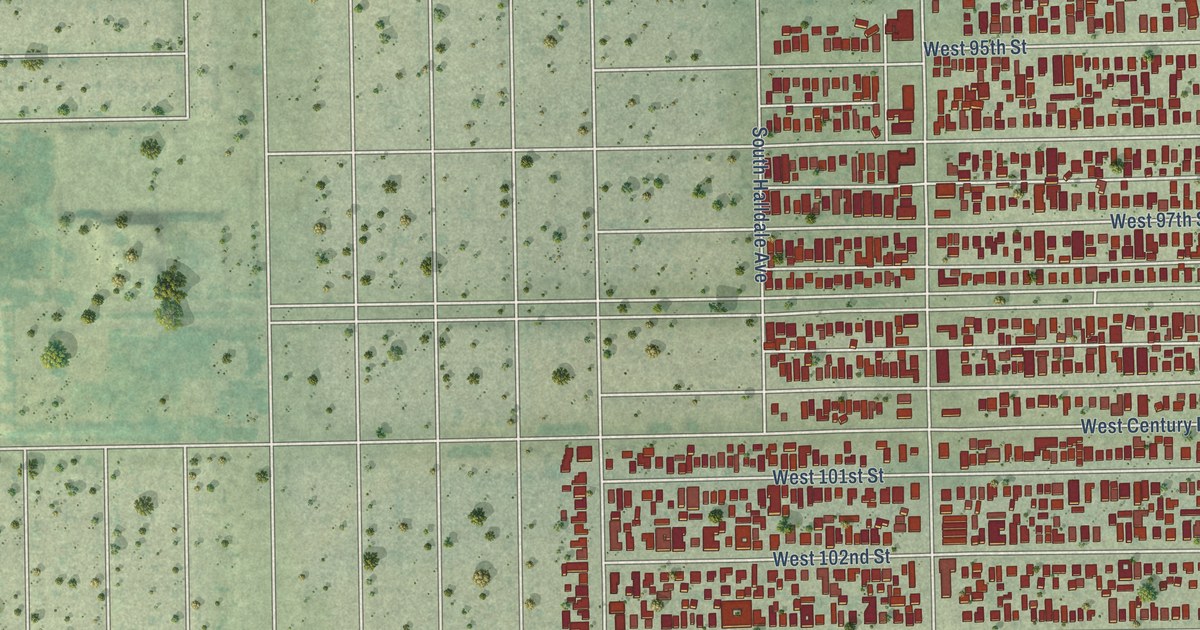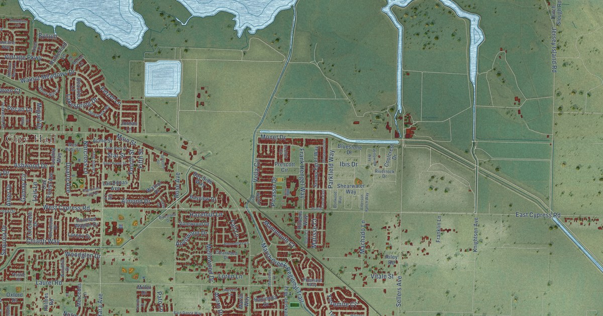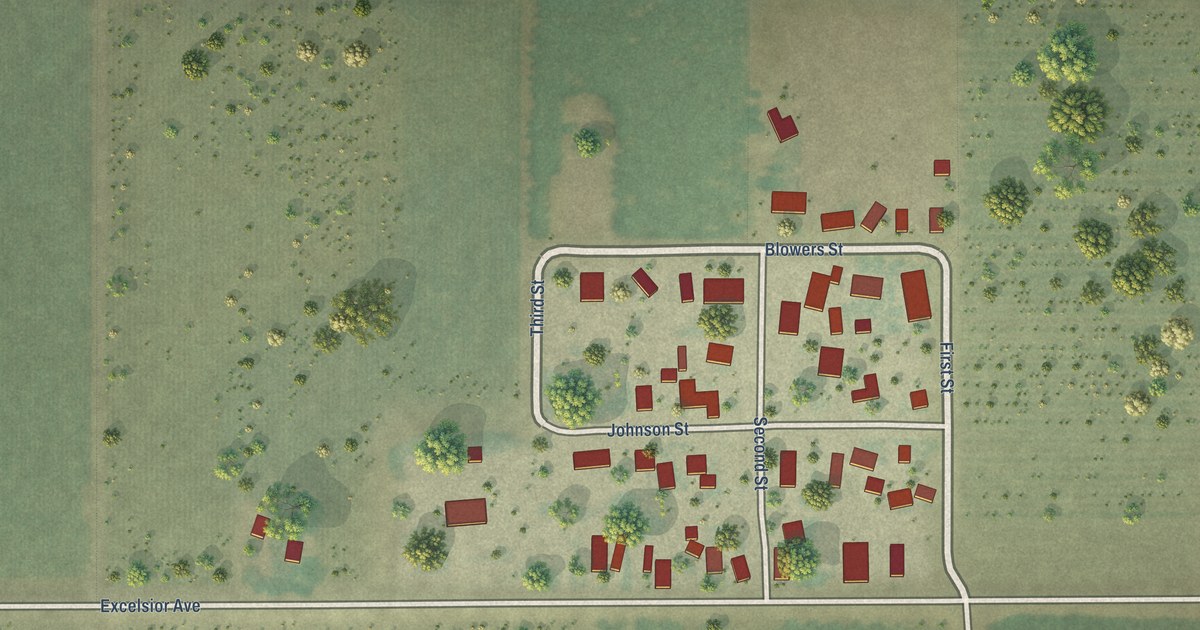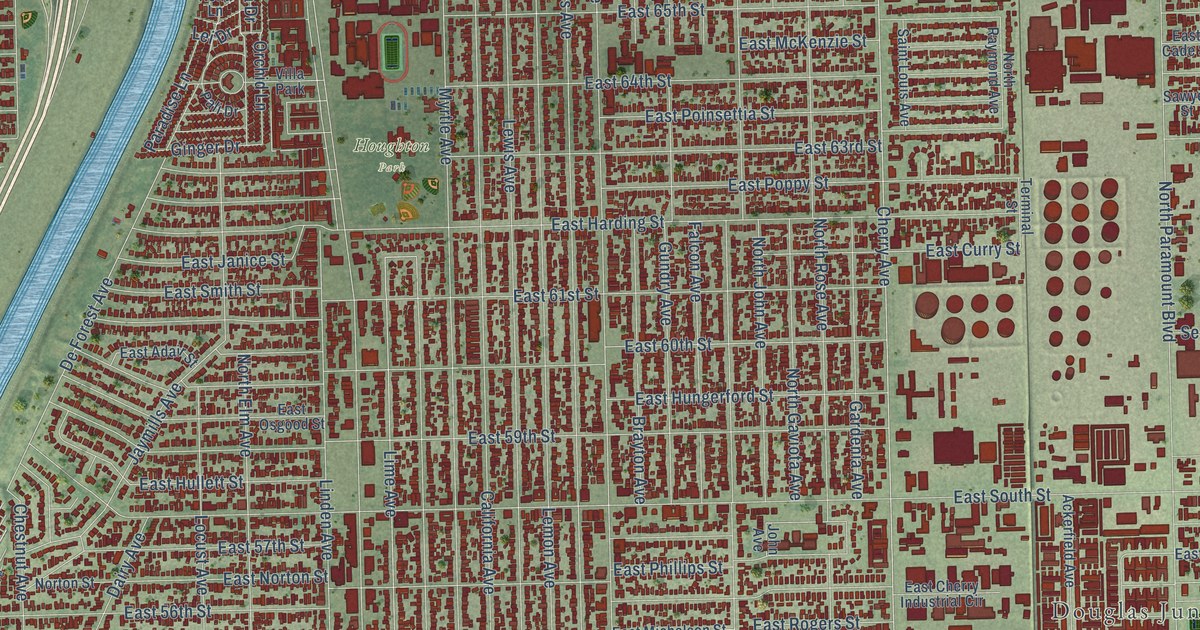
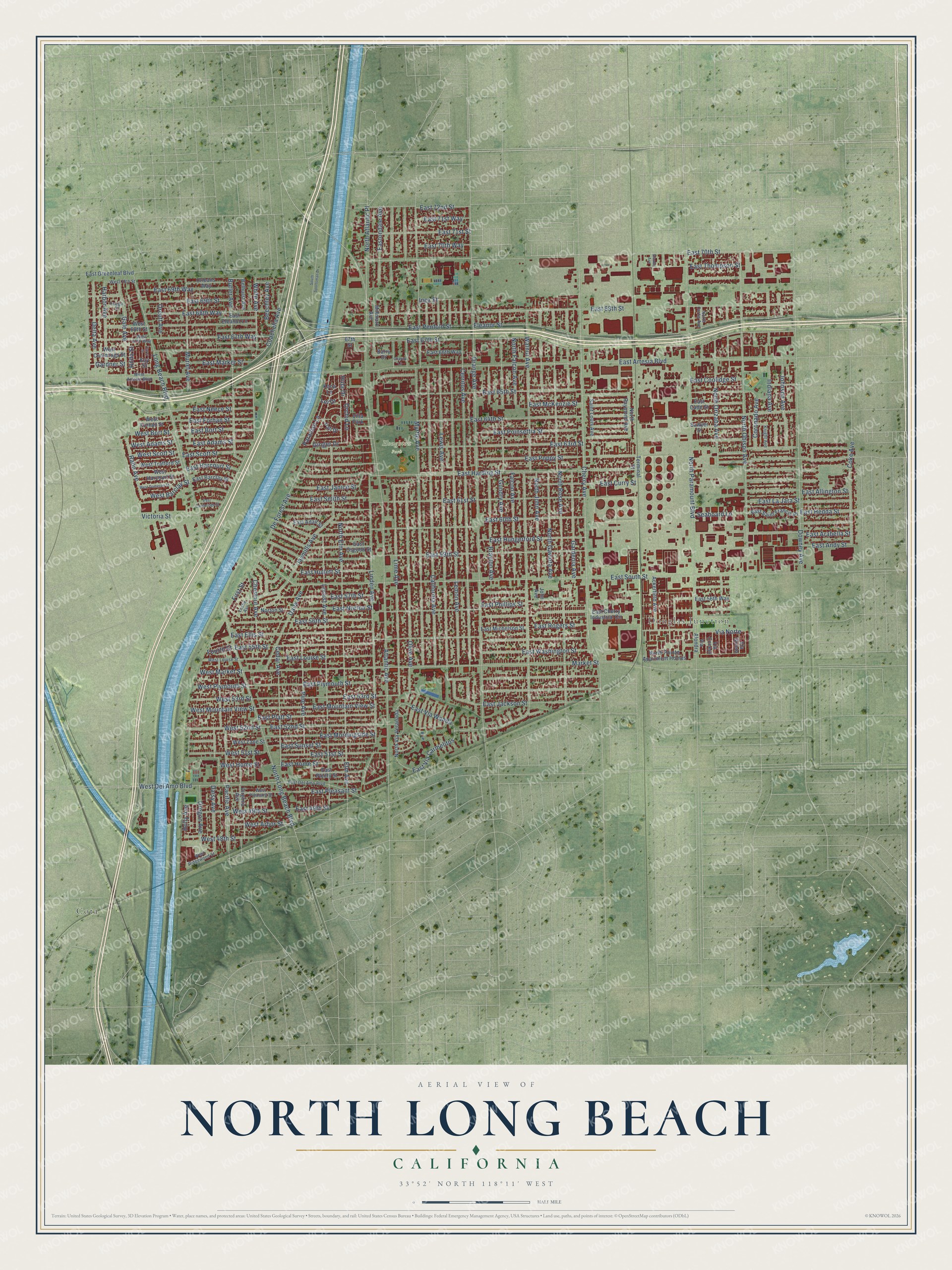
This beautifully detailed map of North Long Beach, California was created in 2026 using aerial imagery combined with modern topographical, census, street and landmark data. It’s a one-of-a-kind view of North Long Beach that combines accurate data with a vintage aesthetic. The map shows every building in its true location, many of the roads carry their names, and the shaded topographic relief shows the shape of the land.
Explore an aerial view of North Long Beach, California
On the map you’ll find Cota, Douglas Junction, Houghton Park, and East Via Wanda, along with Coachella Avenue, East 52nd Street, Cherry Avenue, East 70th Street, East 67th Way, West 52nd Street, Lime Avenue, De Forest Avenue, and more. If you look closely you can even find your house accurately drawn in its correct location. Zoom in on the preview to look for yours.
Take a closer look at the North Long Beach map
Names on this map
These names are printed on this map.
Places: Cota, Douglas Junction, Houghton Park and Villa Park.
Streets and roads: Coachella Avenue, East 52nd Street, Cherry Avenue, East 70th Street, East 67th Way, West 52nd Street, Lime Avenue, De Forest Avenue, East Via Wanda, Via Norte, Holly Avenue, Ginger Drive.
More street names, A to Z
67th Street, Ackerfield Avenue, Atlantic Avenue, Barry Drive, Beechley Avenue, Belhurst Avenue, Brayton Avenue, Butler Avenue, California Avenue, Carol Street, Cedar Avenue, Cerritos Avenue, Charity Lane, Chestnut Avenue, Coke Avenue, Coronado Avenue, Dairy Avenue, Daisy Avenue, Delta Avenue, Downey Avenue, East 49th Street, East 51st Street, East 53rd Street, East 55th Street, East 56th Street, East 56th Way, East 57th Street, East 59th Street, East 60th Street, East 61st Street, East 63rd Street, East 64th Street, East 65th Street, East 66th Way, East 67th Street, East 68th Street, East 68th Way, East 69th Street, East 69th Way, East 70th Way, East 71st Street, East 71st Way, East 72nd Street, East Adair Street, East Adams Street, East Allington Street, East Andy Street, East Arabella Street, East Artesia Boulevard, East Barclay Street, East Bort Street, East Cade Street, East Cambridge Street, East Cherry Industrial Circle, East Coolidge Street, East Curry Street, East Del Amo Boulevard, East Eleanor Lane, East Ellis Street, East Forhan Street, East Greenleaf Boulevard, East Harcourt Street, East Harding Street, East Hedda Street, East Home Street, East Hullett Street, East Hungerford Street, East Jackson Street, East Janice Street, East La Jara Street, East Louise Street, East Marker Street, East McKenzie Street, East Michelson Street, East Morningside Street, East Mountain View Street, East Neece Street, East Norton Street, Eastondale Avenue, East Osgood Street, East Penfold Street, East Phillips Street, East Platt Street, East Pleasant Street, East Plenty Street, East Plymouth Street, East Poinsettia Street, East Poppy Street, East Rogers Street, East Saint Francis Place, East Scott Street, East Smith Street, East South Street, East Sunset Street, East Thompson Street, East Via Carmelitos, East Washington Street, Eleanor Street, Elm Avenue, Falcon Avenue, First Street, Fourth Street, Fuego Street, Gale Avenue, Gardenia Avenue, Gardner Street, Gundry Avenue, Harbor Avenue, Hilda Street, Hula Drive, Indiana Avenue, Inez Street, Jaymills Avenue, John Avenue, Johnson Avenue, Kay Street, Knight Avenue, Kona Lane, Lei Drive, Lemon Avenue, Leslie Avenue, Lewis Avenue, Linden Avenue, Locust Avenue, Long Beach Boulevard, Market Street, Millmark Avenue, Muriel Avenue, Myrtle Avenue, North Atlantic Place, North Curtis Avenue, North Elm Avenue, North Falcon Avenue, North Gaviota Avenue, North John Avenue, North Long Beach Boulevard, North Obispo Avenue, North Orizaba Avenue, North Paramount Boulevard, North Pointe Apartment Homes, North Raymond Avenue, North Rose Avenue, North Via Veranada, Norton Street, Olive Avenue, Orange Avenue, Orchid Lane, Orcutt Avenue, Oregon Avenue, Orleans Way, Pacific Avenue, Pali Drive, Paradise Lane, Pine Avenue, Rahn Avenue, Saint Louis Avenue, Sawyer Street, Seaboard Lane, South Sportsman Drive, Stanley Avenue, Terminal Street, Via Alondra, Via Conejo, Via Goleta, Victoria Street, Virginia Avenue, Walnut Avenue, West 48th Street, West 49th Street, West 51st Street, West 53rd Street, West 67th Way, West 68th Street, West 70th Street, West Adams Street, West Arbor Street, West Artesia Boulevard, West Barclay Street, West Bort Street, West Cummings Street, West Dameron Street, West Del Amo Boulevard, West Forhan Street, West Harcourt Street, West Home Street, West Louise Street, West Market Street, West Mountain View Street, West Pleasant Street, West Plymouth Street, West Ridgewood Street, West Scott Street, West Trafford Street, West Zane Street, White Avenue.
See it on a wall
The North Long Beach map as a framed print. Swipe for more.


This beautifully detailed map of North Long Beach makes an attractive addition to your office, library, or den, and it can even be used to teach children the geography and history of the area. It also makes a great gift for someone who left North Long Beach and still calls it home. When you’re done exploring, click here to get your copy of the North Long Beach map.