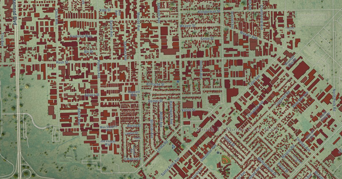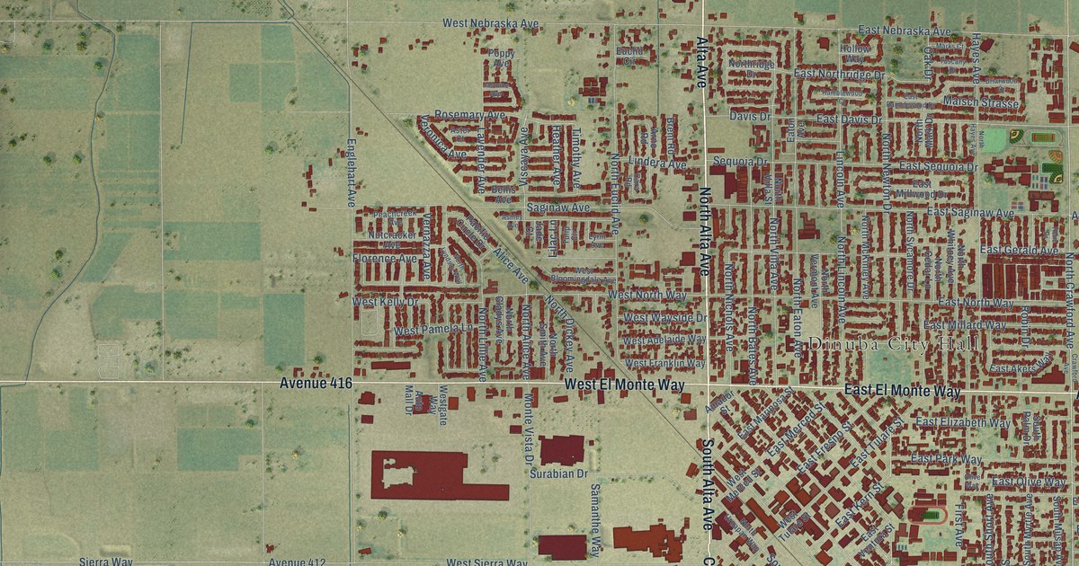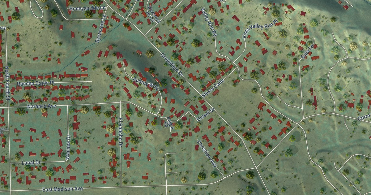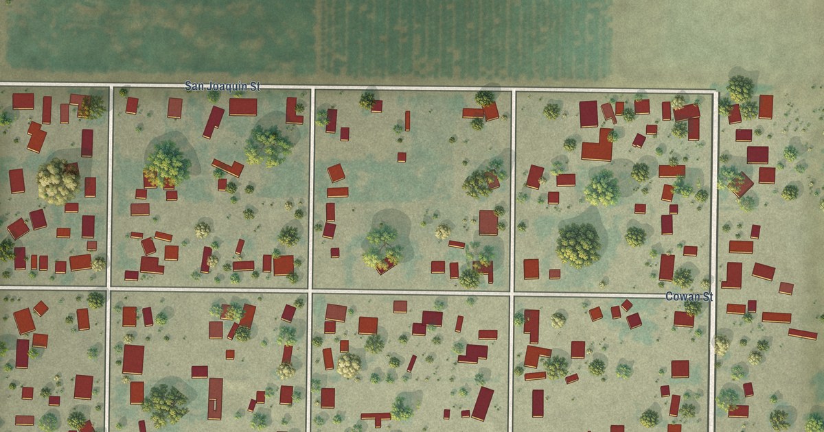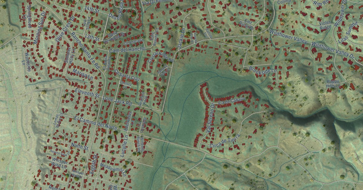
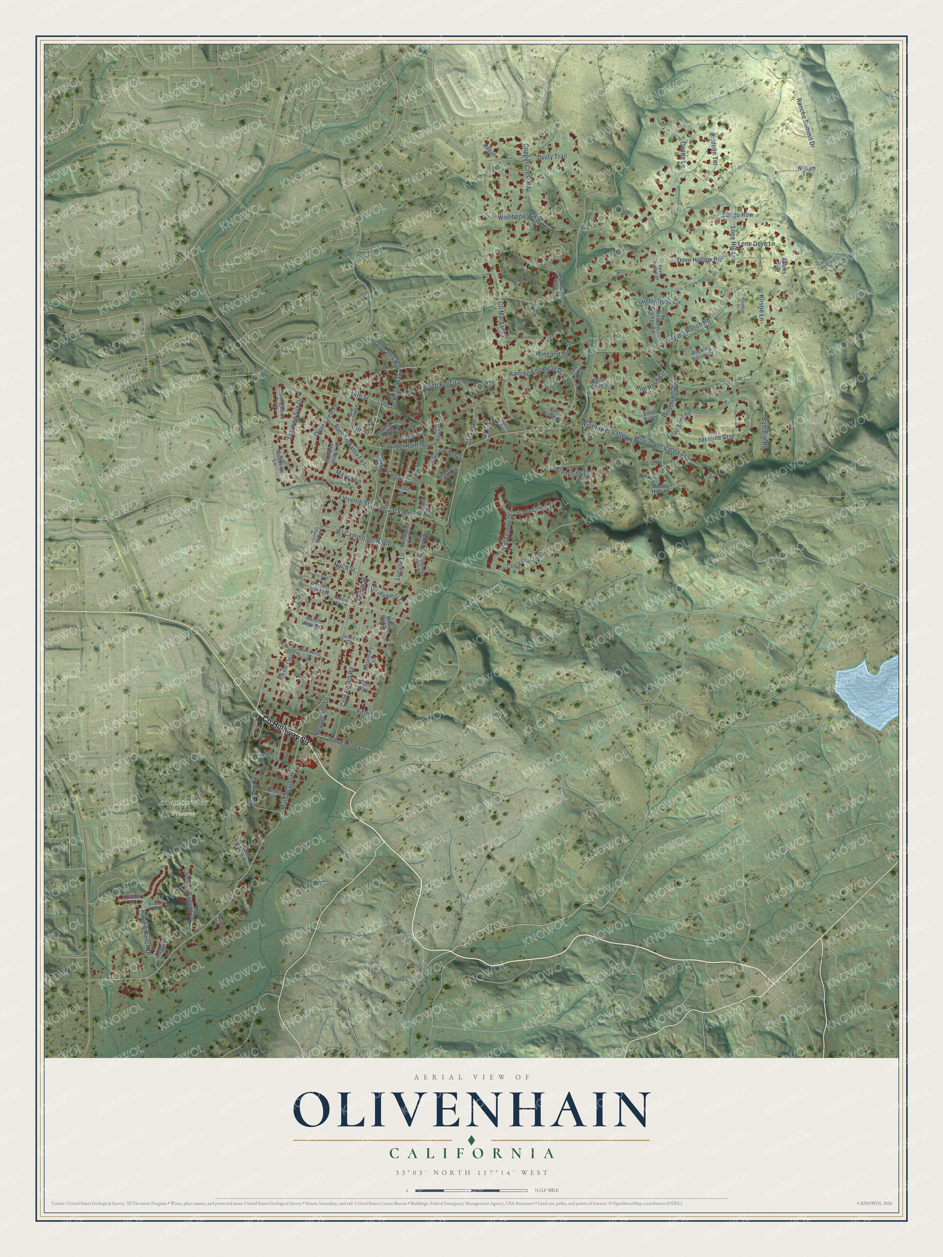
This beautifully detailed map of Olivenhain, California was created in 2026 using aerial imagery combined with modern topographical, census, street and landmark data. It’s a one-of-a-kind view of Olivenhain that combines accurate data with a vintage aesthetic. The map shows every building in its true location, many of the roads carry their names, and the shaded topographic relief shows the shape of the land.
Explore an aerial view of Olivenhain, California
On the map you’ll find Manchester Preserve, along with County Highway S9, Desert Rose Way, 13th Street, Cole Ranch Road, Eighth Street, Lone Jack Road, Rancho Santa Fe Road, Manchester Avenue, Fortuna Ranch Road, Lone Hill Lane, Dove Hollow Road, and more. If you look closely you can even find your house accurately drawn in its correct location. Zoom in on the preview to look for yours.
Did You Know?
A colony of German settlers founded Olivenhain on an old Mexican land grant. They gave it a German name meaning olive grove. The settlers built a meeting hall that still stands and hosts the yearly Oktoberfest. In 1986 Olivenhain joined three nearby communities to form the city of Encinitas.
Olivenhain is a place in San Diego County.
Take a closer look at the Olivenhain map
Names on this map
These names are printed on this map.
Places: Manchester Preserve.
Streets and roads: County Highway S9, Desert Rose Way, 13th Street, Cole Ranch Road, Eighth Street, Lone Jack Road, Rancho Santa Fe Road, Manchester Avenue, Fortuna Ranch Road, Lone Hill Lane, Dove Hollow Road, Bumann Road.
More street names, A to Z
14th Street, Adams Run, Bella Collina, Brand Crst, Bridoon Terrace, Brookside Lane, Calle Rancho Vis, Cam del Rancho, Candy Lane, Cantle Lane, Canyon de Oro, Casa Hermosa Court, Chelsea Lane, Circa de Tierra, Cll Anacapa, Cll Margarita, Cll Santa Catalina, Cll Santa Cruz, Cll Tres Vistas, Cmt Laura, Cmt Ricardo, Colony Terrace, Copper Crest Road, Country Rose Circle, Crystal Ridge Road, Denk Lane, Dove Hollow Court, Dove Song Way, Dusty Trail, Edelweiss Lane, El Camino del Norte, Eleventh Street, Fifth Street, Hunter Run, Jackie Lane, Jasmine Crst, Kirstie Lane, La Quebrada, Lark Song Lane, Latigo Row, Lilac Summit, Lomas de Oro Court, Lone Dove Lane, Lorimer Lane, Lucylle Lane, Marisa Lane, Meadowmist Lane, Megan Lane, Morning Sun Drive, Ninth Street, Olive Crest Drive, Pacific Ranch Drive, Palomino Drive, Peppertree Lane, Pepper Tree Lane, Poppy Hills Lane, Rancho Enci, Rancho Enci Drive, Rancho Encinitas Drive, Rancho Summit Drive, Ranch View Terrace, Rim Rock Circle, Rocking Horse Circle, Rosemary Lane, Santa Fe Vista Court, Sereno View Lane, Seventh Street, Sienna Canyon Drive, Springwood Lane, Stratford Knoll, Summer Holly Lane, Tennis Place, Teten Way, Trabert Ranch Road, Val Sereno Drive, Via de Caballo, Via del Cerrito, Via Di Felicita, Via Monte Verde, Violet Ridge, Western Springs Road, Whisper Wind Drive, Whisper Wind Lane, White Owl Drive, Wiegand Street, Wildflower Drive, Wildflower Valley, Wildflower Valley Drive, William Terrace, Windmill Ranch Road, Wishbone Way, Woodside Lane, Woodwind Drive.
See it on a wall
The Olivenhain map as a framed print. Swipe for more.


This beautifully detailed map of Olivenhain makes an attractive addition to your office, library, or den, and it can even be used to teach children the geography and history of the area. It also makes a great gift for someone who left Olivenhain and still calls it home. When you’re done exploring, click here to get your copy of the Olivenhain map.