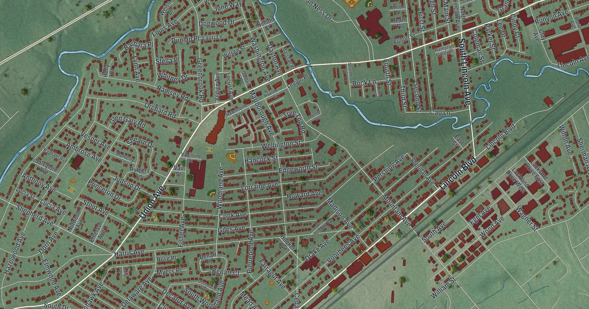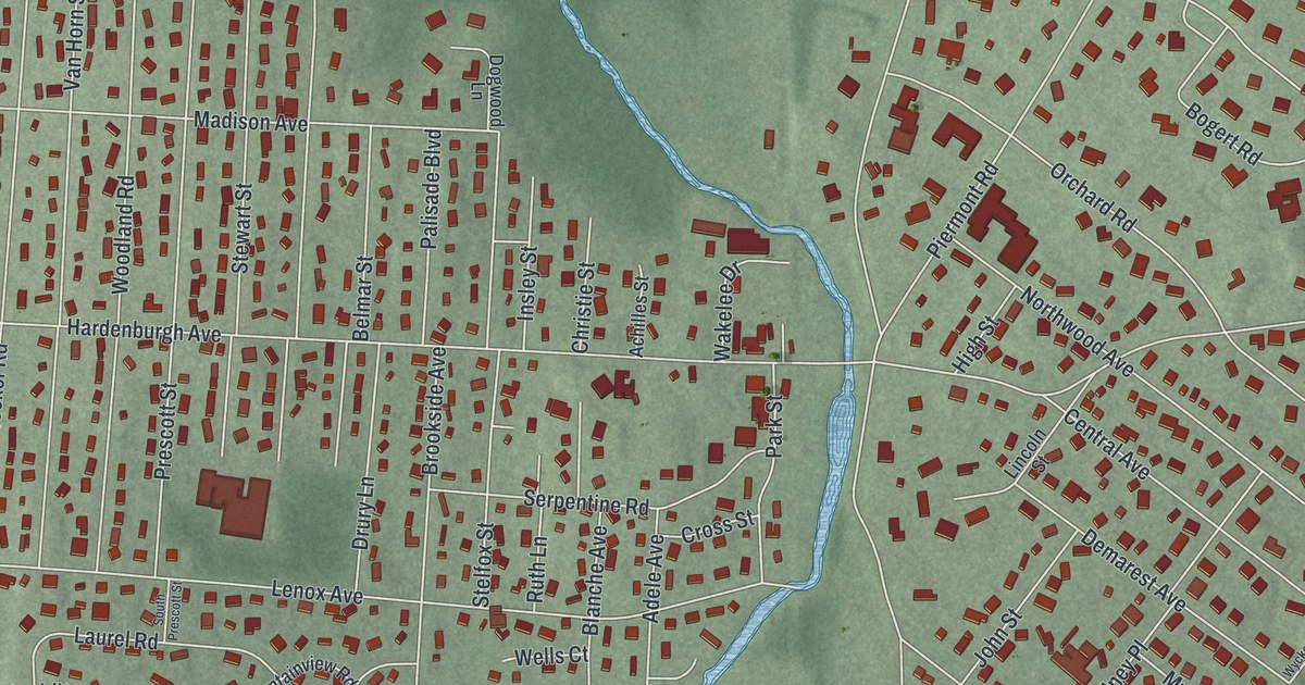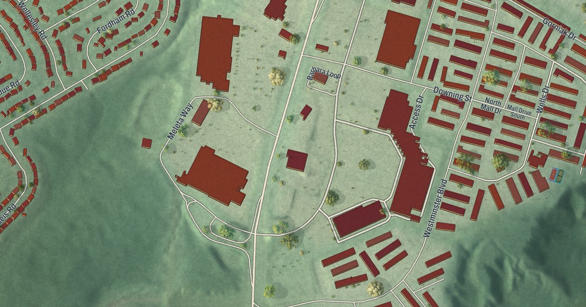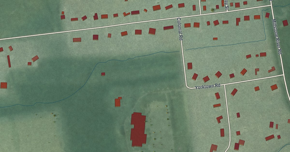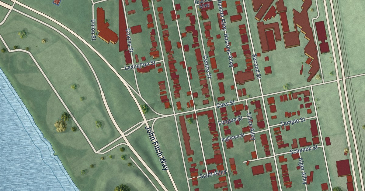
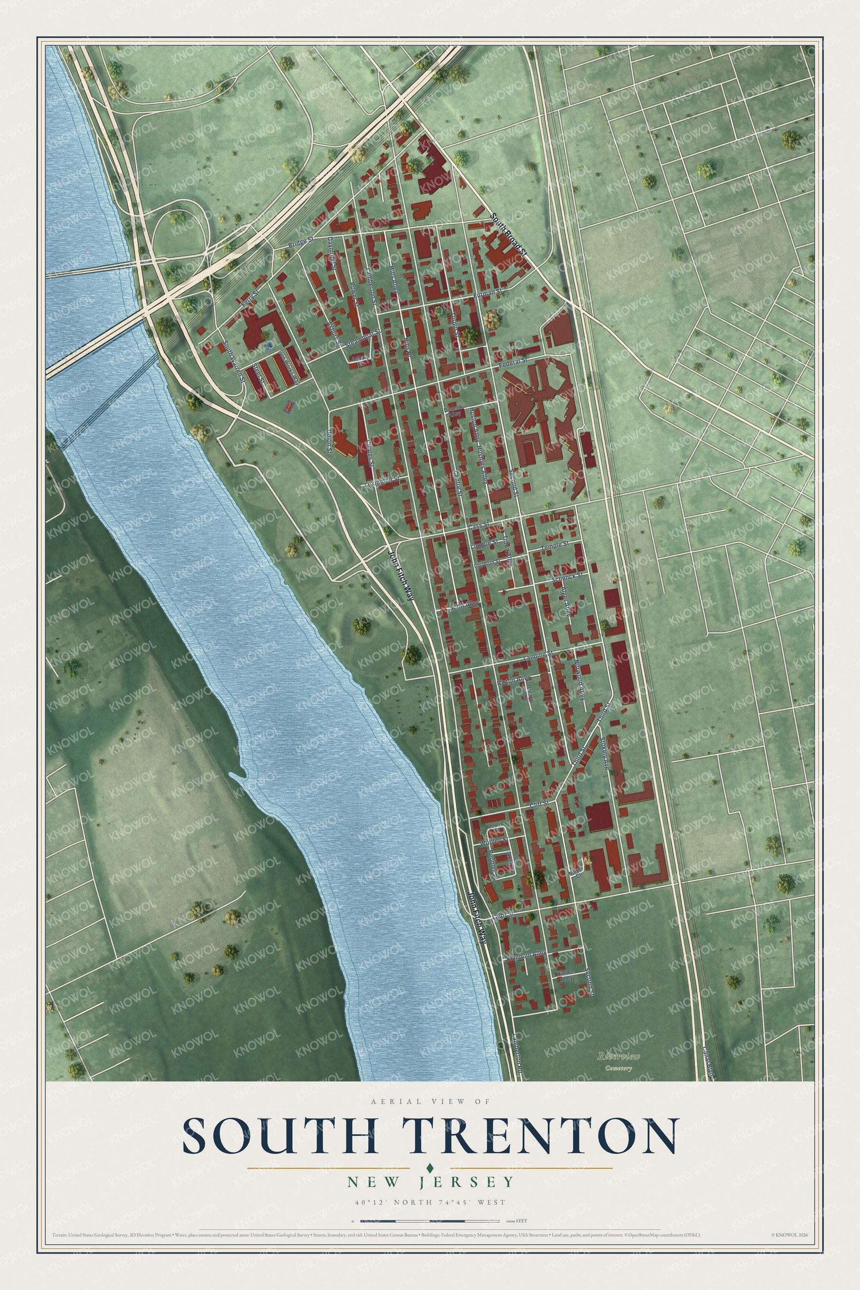
This beautifully detailed map of South Trenton, New Jersey was created in 2026 using aerial imagery combined with modern topographical, census, street and landmark data. It's a modern aerial view of South Trenton in Mercer County, New Jersey, that combines modern data with a vintage aesthetic. The roads feature printed names, and if you look closely you can find your exact house accurately shown in its correct location.
Explore an aerial view of South Trenton, New Jersey
On this map you'll find Riverview Cemetery, John Fitch Way, South Broad Street, Cass Street, Second Street, Lamberton Road, Lamberton Street, Centre Street, Hills Alley, Third Street, Hills Place, Ferry Street, and more. Each red shape is a building, so zoom in on the preview and look for yours.
South Trenton has a story worth telling. The Internet Archive puts it this way: "Mahlon Stacy owned a large tract of land in New Jersey and settled on a part of it, now known as South Trenton, and became a prominent man in the affairs of that Province."
South Trenton is a place in Mercer County.
Take a closer look at the South Trenton map
Names on this map
These names are printed on this map.
Places: Riverview Cemetery.
Streets and roads: John Fitch Way, South Broad Street, Cass Street, Second Street, Lamberton Road, Lamberton Street, Centre Street, Hills Alley, Third Street, Hills Place, Ferry Street, Federal Street.
More street names, A to Z
Alger Alley, Asbury Place, Asbury Street, Bridge Street, Canal Boulevard, Cliff Street, Coates Street, Daymond Street, Doanes Alley, Furman Street, Hannum Alley, Huston Alley, Hustons Alley, Ingleton Street, Iron Works Way, Kimble Alley, Lalor Street, Landing Street, Lenox Lane, Lexington Street, Lougue Street, Mayer Court, Norwood Alley, Old Stock Lane, Ontario Alley, Peoples Place, Power Street, Riston Alley, Schenck Street, Scott Alley, South Warren Street, Steamboat Street, Steel Street, Stokely Avenue, Temple Street, Tilton Alley, Turpin Street, Union Street, Wooley Street.
See it on a wall
The South Trenton map as a framed print. Swipe for more.


Created by KNOWOL in 2026. The buildings are small red shapes, the roads carry their printed names, and shaded relief shows the shape of the land. The title panel reads "AERIAL VIEW OF SOUTH TRENTON, NEW JERSEY" with 40°12' NORTH 74°45' WEST.
It looks right in a kitchen, an office or a den, and it's a gift for anyone who grew up in South Trenton or moved away. Open the preview and find your street. See sizes and frames for the South Trenton map.