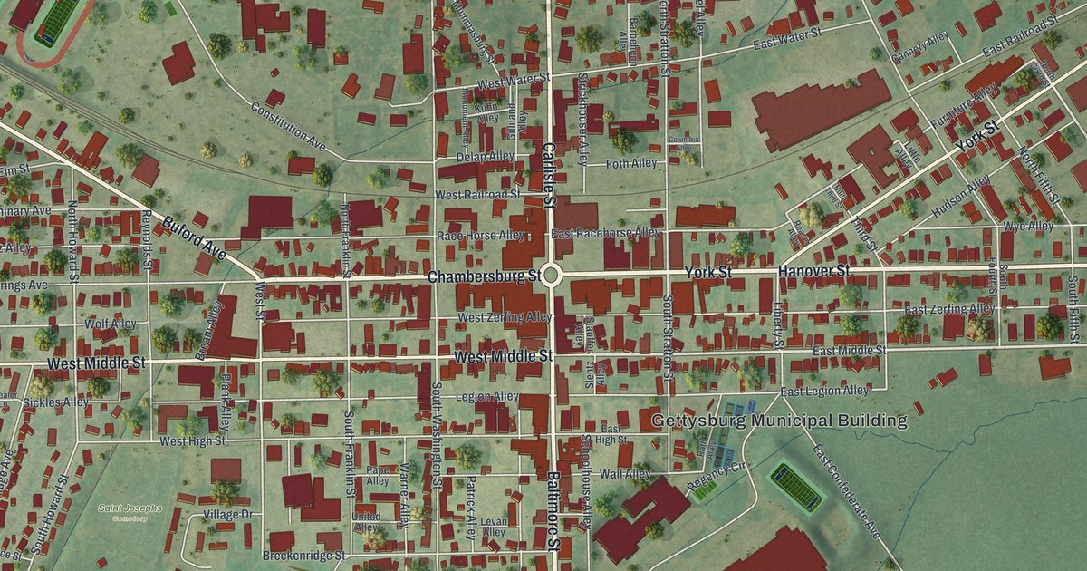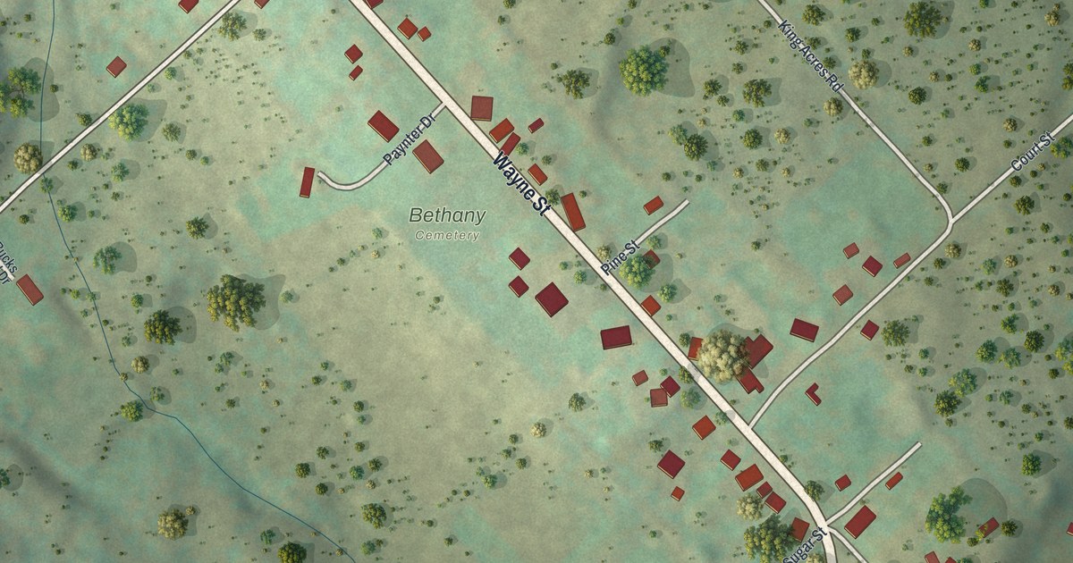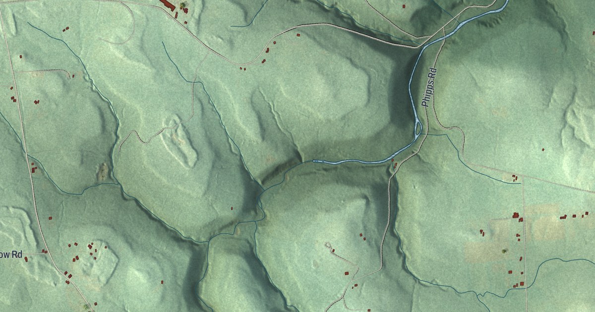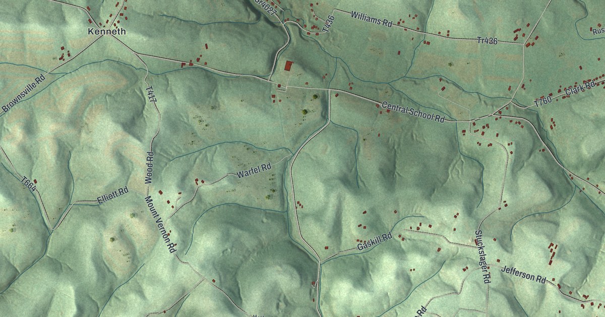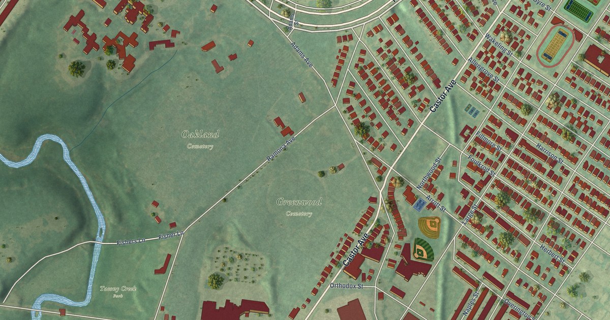
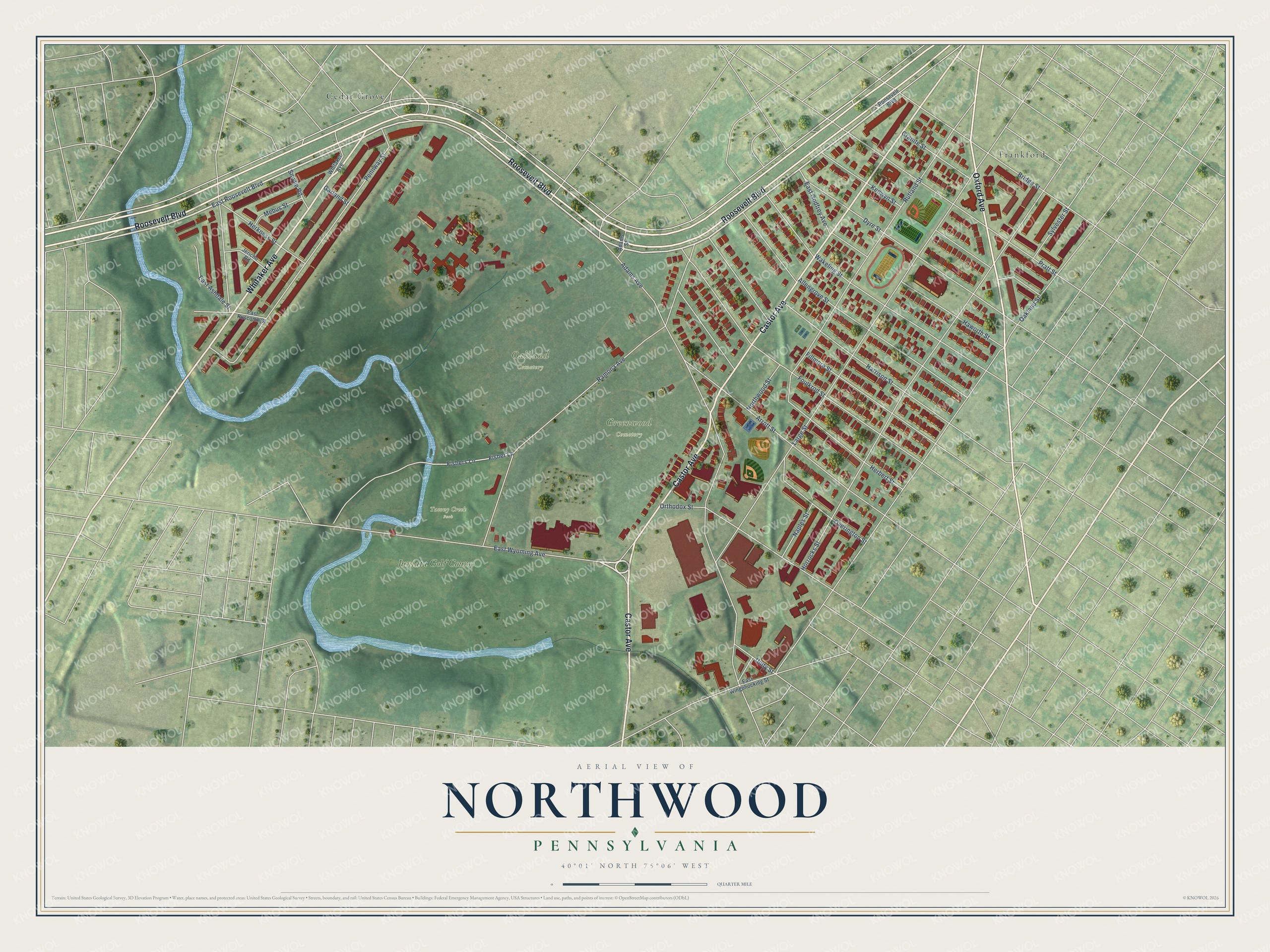
This beautifully detailed map of Northwood, Pennsylvania was created in 2026 using aerial imagery combined with modern topographical, census, street and landmark data. It’s a one-of-a-kind view of Northwood that combines accurate data with a vintage aesthetic. The map shows every building in its true location, many of the roads carry their names, and the shaded topographic relief shows the shape of the land.
Explore an aerial view of Northwood, Pennsylvania
On the map you’ll find Greenwood Cemetery, Oakland Cemetery, Tacony Creek Park, Frankford, Cedar Grove, and Juniata Golf Course, along with Roosevelt Boulevard, Castor Avenue, Whitaker Avenue, Oxford Avenue, East Roosevelt Boulevard, East Wyoming Avenue, and more. If you look closely you can even find your house accurately drawn in its correct location. Zoom in on the preview to look for yours.
Did You Know?
From Internet Archive: "BEAVER FALLS BOROUGH. 413 Geneva College was founded at Northwood, Ohio, April 20, 1848, and continued at said place until 1880, when it was concluded by the church (Reformed Presbyterian) to change its location to the thrifty little city of Beaver Falls."
Northwood is a place in Philadelphia County.
Take a closer look at the Northwood map
Names on this map
These names are printed on this map.
Places: Greenwood Cemetery, Oakland Cemetery, Tacony Creek Park, Frankford, Cedar Grove and Juniata Golf Course.
Streets and roads: Roosevelt Boulevard, Castor Avenue, Whitaker Avenue, Oxford Avenue, East Roosevelt Boulevard, East Wyoming Avenue, Adams Avenue, Large Street, Horrocks Street, Ramona Avenue, Rutland Street, Foulkrod Street.
More street names, A to Z
Adams Street, Allengrove Street, Arrott Street, Bridge Street, Dyre Street, East Ashdale Street, East Godfrey Avenue, East Ruscomb Street, East Wingohocking Street, Fillmore Street, Fisher Lane, Fishers Lane, Garland Street, Granite Street, Harrison Street, Haworth Street, Herbert Street, Herkness Street, Jericho Road, Kenwyn Street, Mebus Street, Naples Street, Northwood Street, Oakland Street, Orthodox Street, Overington Street, Pennway Street, Pratt Street, Smylie Road, Sylvester Street, Unity Street, Wakeling Street.
See it on a wall
The Northwood, Philadelphia map as a framed print. Swipe for more.


This beautifully detailed map of Northwood, Philadelphia makes an attractive addition to your office, library, or den, and it can even be used to teach children the geography and history of the area. It also makes a great gift for someone who left Northwood and still calls it home. When you’re done exploring, click here to get your copy of the Northwood, Philadelphia map.