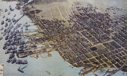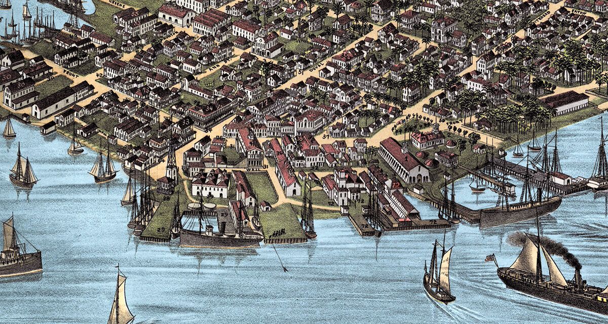
This vintage map of Key West, Florida was created in 1884 by J.J. Stoner of Madison, Wisconsin. The map shows a bird’s-eye view of Key West as it once was, including street names, old landmarks, wharves, sailing ships, churches, businesses, cigar factories, public buildings, and the busy waterfront that shaped life on the island in the late 1800s. This is the highest quality colorized version of the map to exist. It was restored and colorized by KNOWOL. Prints of the restored map are available here.
Historic Key West landmarks on the map include Fort Taylor, the U.S. Naval Depot, the Marine Hospital, Masonic Hall, Odd Fellows Hall, the International Telegraph Office, McKillip Boots and Shoes, Greaux Watches, Stillman’s Saloon, Sweeny Mineral Water & Beer, Greg’s Cigar Factory, Wellacott’s Ice Cream Parlor, and many of the streets, docks, homes, shops, churches, and waterfront buildings that made Key West one of Florida’s most important cities in the late 19th century.
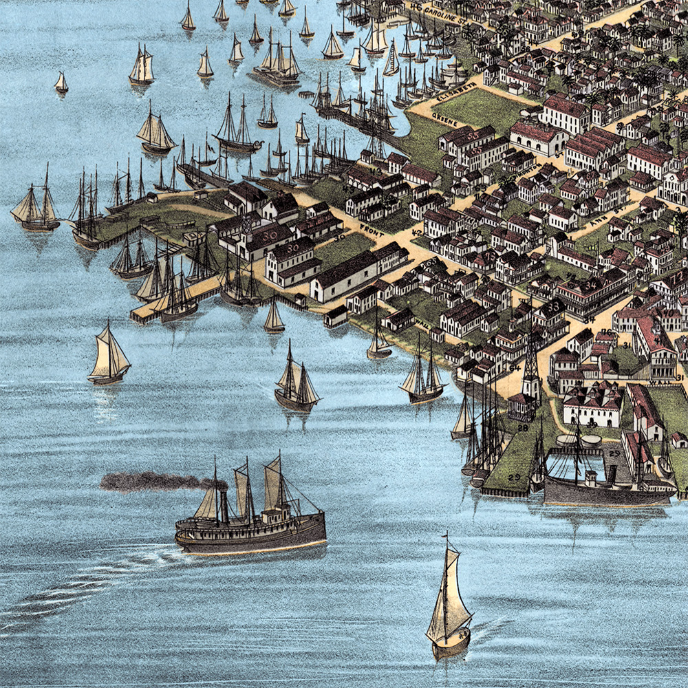
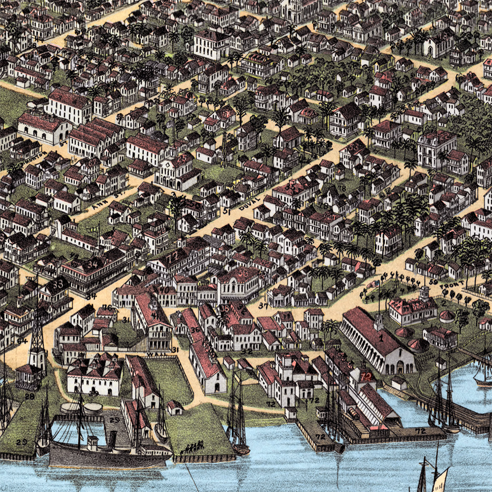
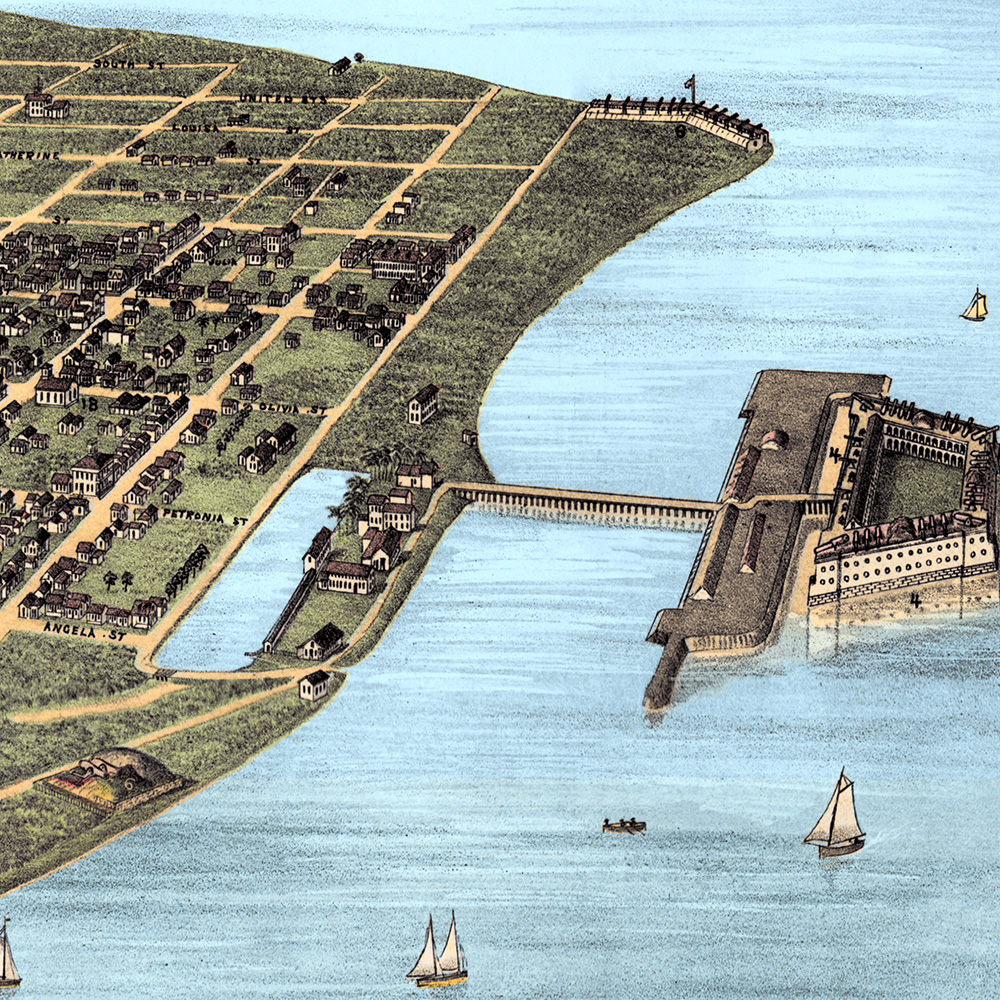
This vintage map of Key West has been carefully restored and colorized by KNOWOL. Reproductions of the restored map are available here. You can click on the image below to view a large version.
Vintage Map of Key West, Florida 1884
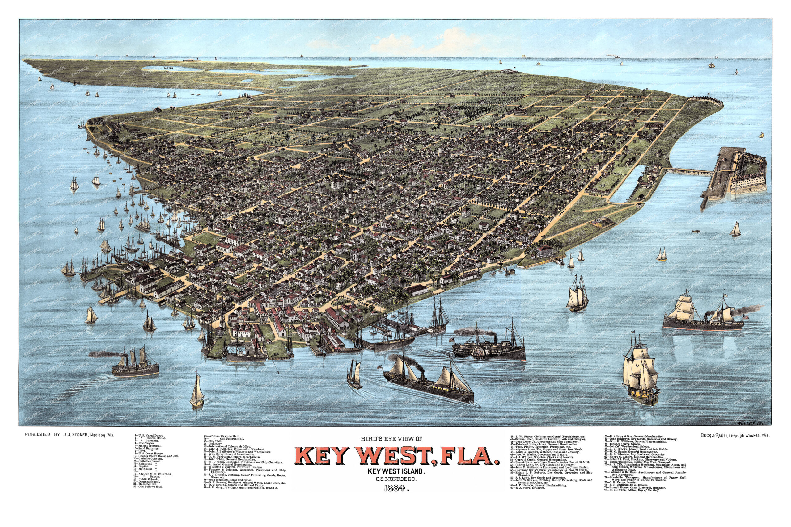
Restored and colorized 1884 bird’s-eye view map of Key West, Florida, featuring the island’s historic streets, wharves, sailing ships, cigar factories, churches, public buildings, businesses, and waterfront landmarks.
At the time this map was drawn, Key West was one of the most important cities in Florida. Its location near Cuba and the Gulf shipping routes made the island a center of trade, maritime activity, military presence, and cigar manufacturing. By the 1880s, Key West was especially known for its cigar industry, with Cuban tobacco, skilled cigar makers, and local factories helping drive the city’s economy.
The map shows Key West just two years before the great fire of 1886 that destroyed much of the downtown area. Many buildings, shops and homes are shown in this view of Key West that would not be there by the end of the decade. The waterfront, naval facilities, cigar factories, churches, hotels, homes, and small businesses shown here offer a detailed look at the island before the modern tourist era.
This beautiful old map of Key West makes an attractive addition to your office, library, den, beach house, or historic Florida collection and can even be used to teach children the geography and history of the area. When you’re done exploring, click here to get your copy of the restored map.