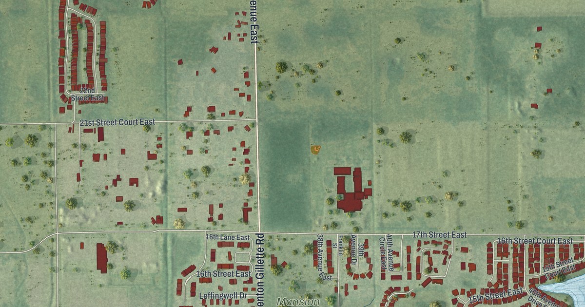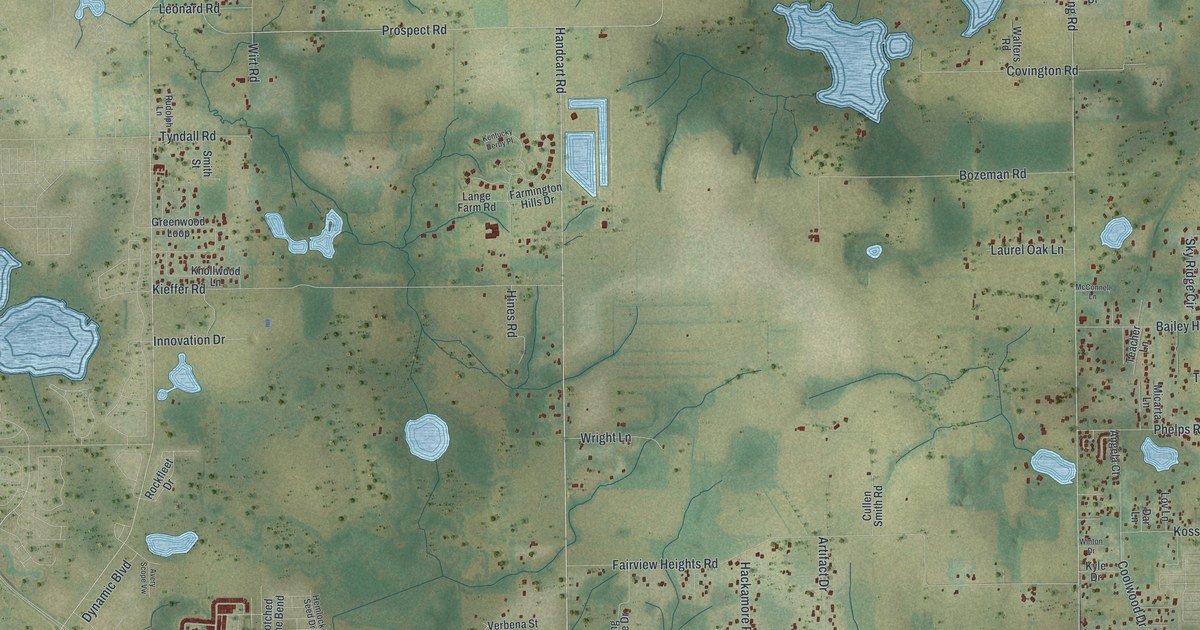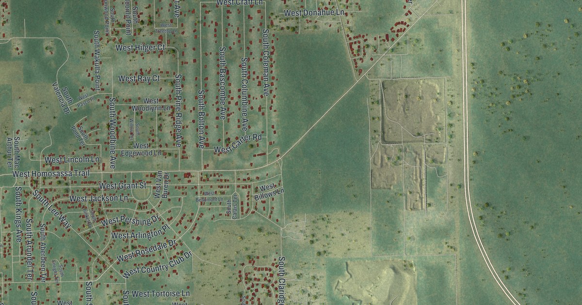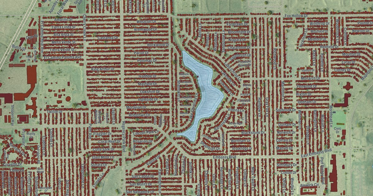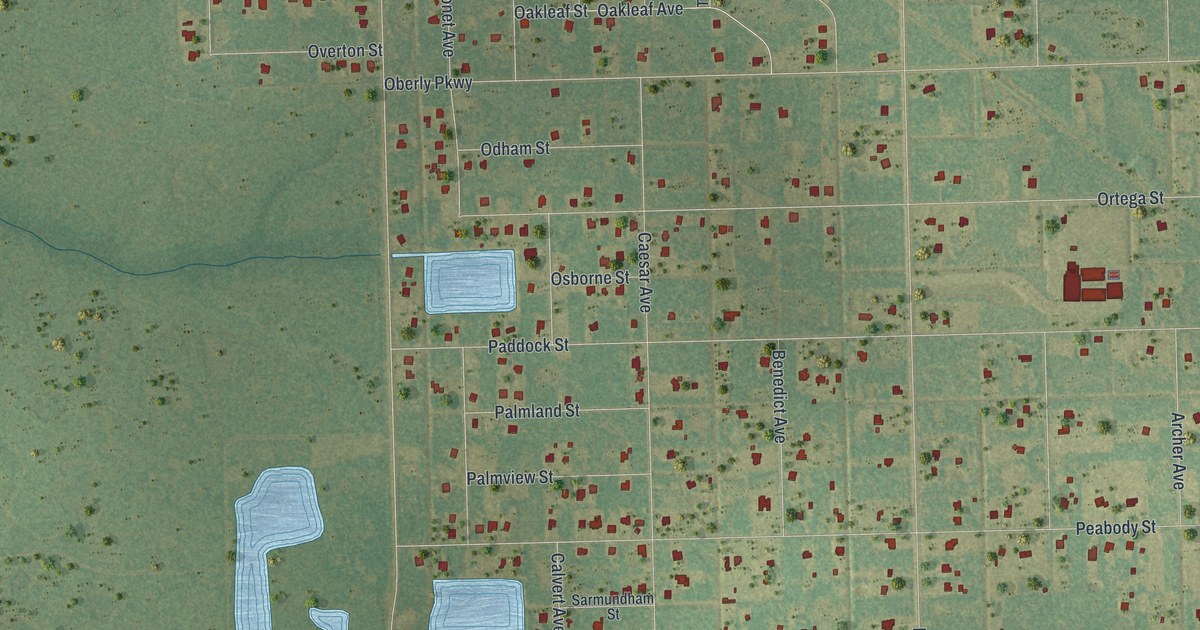
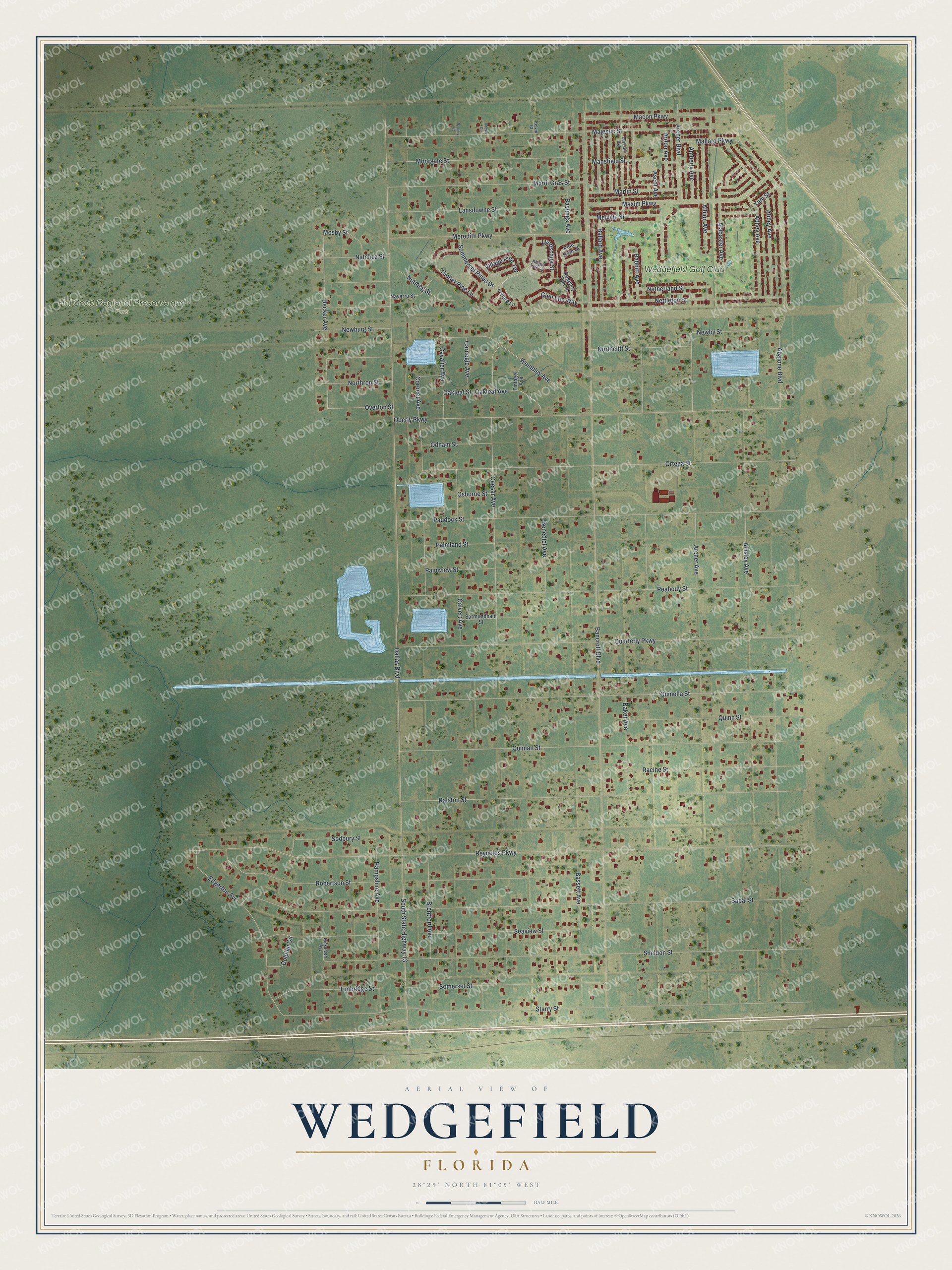
This beautifully detailed map of Wedgefield, Florida was created in 2026 using aerial imagery combined with modern topographical, census, street and landmark data. It's a modern aerial view of Wedgefield in Orange County, Florida, that combines modern data with a vintage aesthetic. The roads feature printed names, and if you look closely you can find your exact house accurately shown in its correct location.
Explore an aerial view of Wedgefield, Florida
On this map you'll find Hal Scott Regional Preserve and Park, Wedgefield Golf Club, Dallas Boulevard, Bancroft Boulevard, Reynolds Parkway, Sabal Street, Starry Street, Sheldon Street, Ralston Street, Quinlan Street, Quarterly Parkway, Quinella Street, and more. Each red shape is a building, so zoom in on the preview and look for yours.
Wedgefield has a story worth telling. Wedgefield began in the early 1960s as Rocket City, a 20,000-acre development planned to house workers from the Kennedy Space Center. In the early 1970s John D. MacArthur tried to revive it as Cape Orlando, and in 1983 the Cape Orlando Corp. renamed it Wedgefield Golf and Country Club. The golf course and restaurant were built as the centerpiece of the community, and they also served as its voting station and emergency center. That's from the Orange County Government newsroom.
Wedgefield is a community in Orange County. The Census Bureau counted 8,017 people here in 2020.
Take a closer look at the Wedgefield map
Names on this map
These names are printed on this map.
Places: Hal Scott Regional Preserve and Park and Wedgefield Golf Club.
Streets and roads: Dallas Boulevard, Bancroft Boulevard, Reynolds Parkway, Sabal Street, Starry Street, Sheldon Street, Ralston Street, Quinlan Street, Quarterly Parkway, Quinella Street, Paddock Street, Peabody Street.
More street names, A to Z
Abalone Boulevard, Abbey Avenue, Abney Avenue, Ainsley Avenue, Alabaster Avenue, Albion Avenue, Amberly Avenue, Archer Avenue, Archer Boulevard, Ardon Avenue, Ascot Avenue, Babbitt Avenue, Bagdad Avenue, Baker Avenue, Ballard Avenue, Bassett Avenue, Bastings Avenue, Benedict Avenue, Brentford Avenue, Caesar Avenue, Caesar Court, Calvert Avenue, Carnegie Avenue, Cavalier Avenue, Coronet Avenue, Decker Avenue, Dickerson Avenue, Dolphin Circle, Edgerton Avenue, Glen Elm Way, Hampshire Avenue, Kelvin Court, Knight Tale Lane, Lansdowne Street, Leflore Lane, Lyndscape Street, Macon Parkway, Majestic Street, Mallard Parkway, Mansfield Street, Mardi Gras Street, Marlin Street, Maxim Parkway, Melville Street, Meredith Parkway, Moorgate Street, Mosby Street, Natchez Street, Navarro Street, Netherland Street, Nettleton Street, Newburg Street, Newby Street, Northcliff Street, Northrop Street, Nutmeg Street, Oakleaf Avenue, Oakleaf Street, Oberly Parkway, Odham Street, Ortega Street, Osborne Street, Overton Street, Palmland Street, Palmview Street, Pine Glen Court, Quinn Street, Racine Street, Regency Oak Lane, Robertson Street, Rodney Court, Sarmundham Street, Seaview Street, Sodbury Street, Somerset Street, Sommerset Pines Drive, South State Highway 13, Timber Pine Lane, Tintagel Avenue, Tunbridge Street, Village Pine Terrace, Wembley Avenue, Yam Street.
See it on a wall
The Wedgefield map as a framed print. Swipe for more.


Created by KNOWOL in 2026. The buildings are small red shapes, the roads carry their printed names, and shaded relief shows the shape of the land. The title panel reads "AERIAL VIEW OF WEDGEFIELD, FLORIDA" with 28°29' NORTH 81°05' WEST.
It looks right in a kitchen, an office or a den, and it's a gift for anyone who grew up in Wedgefield or moved away. Open the preview and find your street. See sizes and frames for the Wedgefield map.