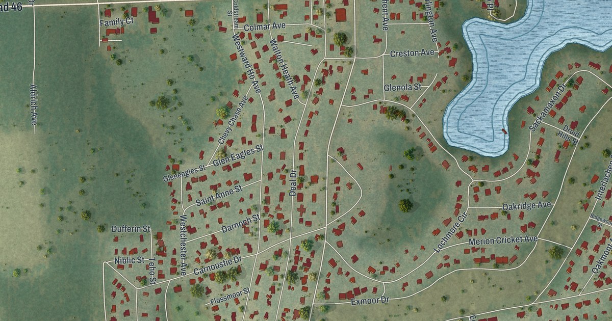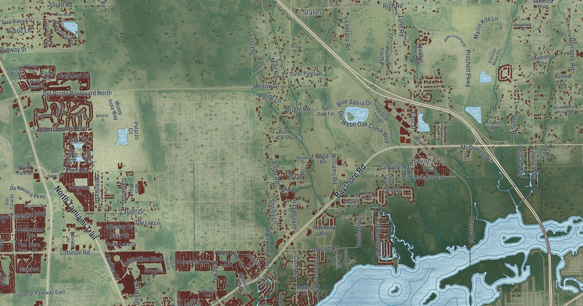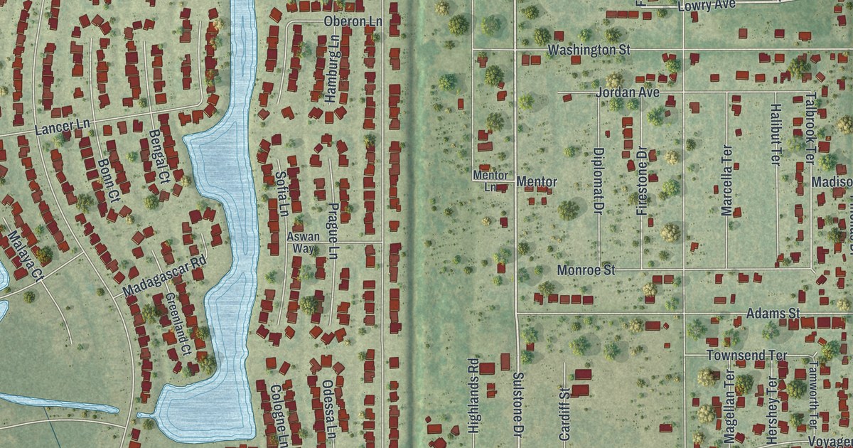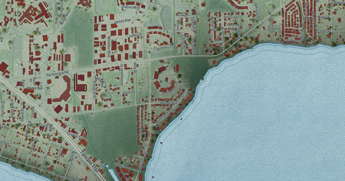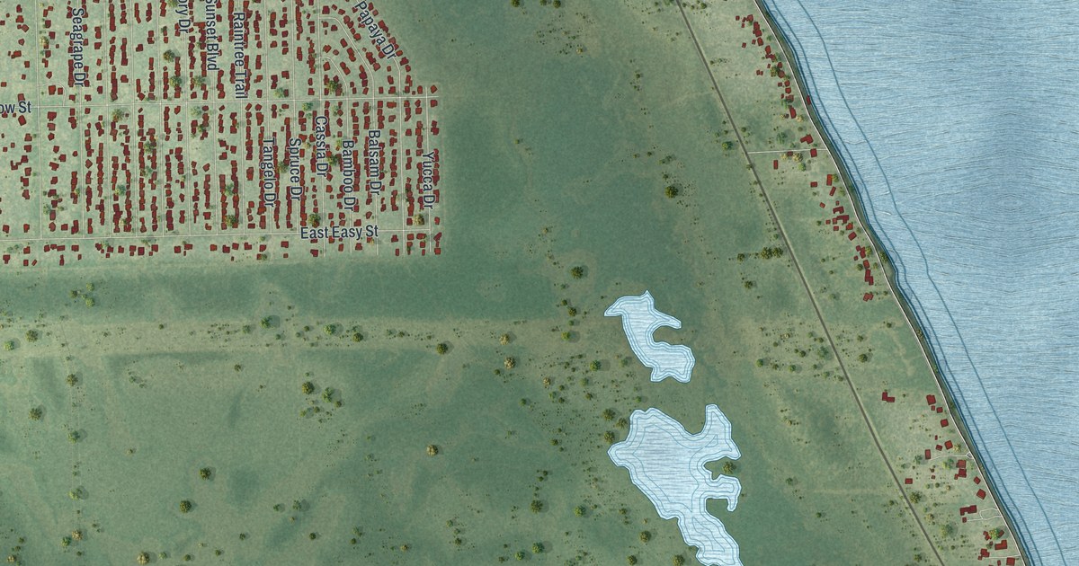
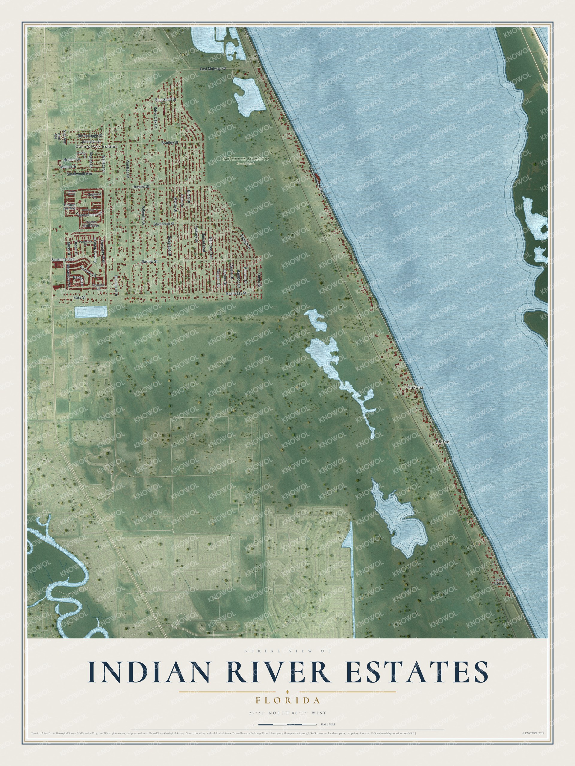
This beautifully detailed map of Indian River Estates, Florida was created in 2026 using aerial imagery combined with modern topographical, census, street and landmark data. It's a modern aerial view of Indian River Estates in St. Lucie County, Florida, that combines modern data with a vintage aesthetic. The roads feature printed names, and if you look closely you can find your exact house accurately shown in its correct location.
Explore an aerial view of Indian River Estates, Florida
On this map you'll find Collins Park Estates, Eldred, Ankona, Savannas Preserve State Park, East Midway Road, Wallace Street, South Indian River Drive, Sunset Boulevard, Seagrape Drive, Silver Oak Drive, Myrtle Drive, Palmetto Drive, and more. Each red shape is a building, so zoom in on the preview and look for yours.
Every town has a first chapter, and Indian River Estates is no exception. The community of Ankona was founded in the 1880s, and it was the birthplace of Elwyn Thomas, who later became chief justice of the Florida Supreme Court. That's from the Florida Place Names book.
Indian River Estates is a community in St. Lucie County. The Census Bureau counted 6,584 people here in 2020. Indian River Estates sits about 3 miles southeast of White City, 3 miles northeast of River Park and 5 miles southeast of Fort Pierce South. The map prints the town name in its title panel, with the coordinates below it.
Take a closer look at the Indian River Estates map
Names on this map
These names are printed on this map.
Places: Collins Park Estates, Eldred, Ankona and Savannas Preserve State Park.
Streets and roads: East Midway Road, Wallace Street, South Indian River Drive, Sunset Boulevard, Seagrape Drive, Silver Oak Drive, Myrtle Drive, Palmetto Drive, Hickory Drive, Palm Drive, Pinetree Drive, Buchanan Drive.
More street names, A to Z
Alexandria Circle, Balsam Drive, Bamboo Drive, Banana Lane, Bartow Street, Birch Drive, Borraclough Street, Bradley Street, Cassia Drive, Dream Court, East Easy Street, East Scott Street, Easy Street, Hemingway Terrace, Hosbine Street, Howard Street, Indian River Lane, Johnston Street, Lace Avenue, Melton Drive, Moss Court, Notlem Drive, Old Key West Drive, Papaya Drive, Paurotis Lane, Ponderosa Drive, Ponytail Lane, Raintree Trail, Regina Drive, Savannah Street, Seahorse Terrace, Smallwood Avenue, Spruce Drive, Star Avenue, Summerfield Court, Sunshine Boulevard, Tangelo Drive, Thames Bluff Ridge, Travelers Way, Tropical Isles Circle, Tropical Isle Way, Yucca Drive.
See it on a wall
The Indian River Estates map as a framed print. Swipe for more.


Created by KNOWOL in 2026. The buildings are small red shapes, the roads carry their printed names, and shaded relief shows the shape of the land. The title panel reads "AERIAL VIEW OF INDIAN RIVER ESTATES, FLORIDA" with 27°21' NORTH 80°17' WEST.
Hang it in the hallway, the office or the cabin, or give it to someone who left Indian River Estates and still calls it home. Open the preview and look for a street you know. See sizes and frames for the Indian River Estates map.