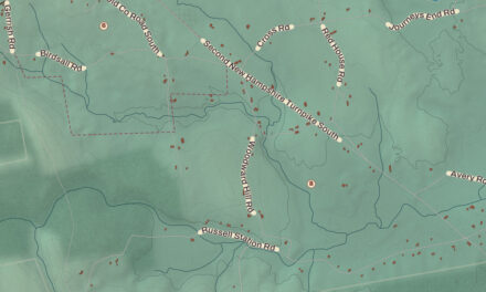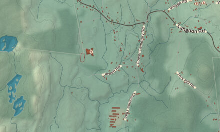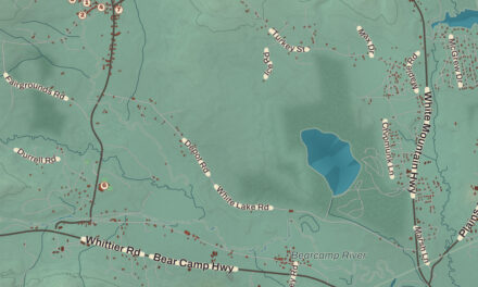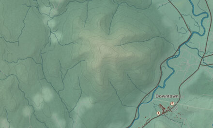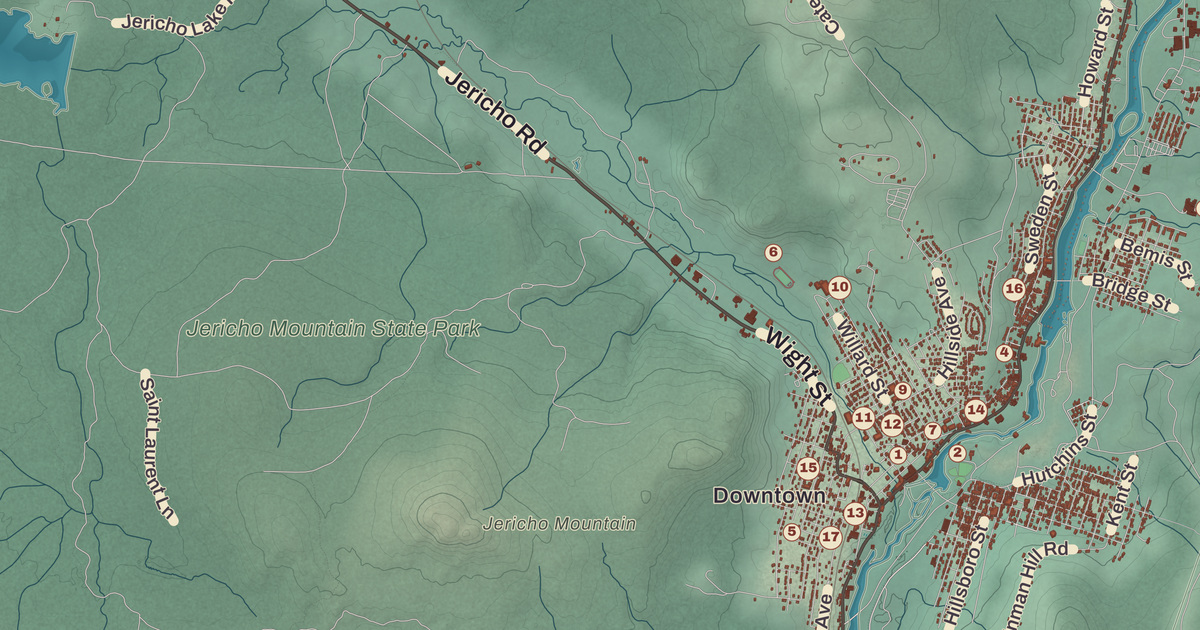
Say it the local way, BUR-lin. If you grew up in New Hampshire’s northernmost city, on the Androscoggin at the edge of the White Mountains, here’s your city as it stands in 2026. The Holy Resurrection Orthodox Church, the Congregational Church, Berlin City Hall, Jericho Mountain and Cascade are all printed by name.
Berlin is in Coös County, the only city in the county, in the state’s North Country.
KNOWOL made this map in 2026 from public survey data and gave it the look of an old atlas. The shaded mountains, from Mount Jasper and Cates Hill to Deer Mountain, come from United States Geological Survey elevation data, and the streets and the city line come from the Census Bureau, right down to streets like Wight Street. Both churches are on the National Register of Historic Places, and we checked them against National Park Service records.
See it on a wall
The Berlin map as a framed print. Swipe for more.


Rhyolite and Maynesborough
People have been here a very long time. Small groups of Native Americans camped in this area around 11,000 years ago, and later the Eastern Abenaki came to Mount Jasper to mine rhyolite. The Mount Jasper Lithic Source, on the north side of the city, is one of the only known places in the eastern United States where people mined before European contact, and the only one where they actually tunneled into the mountain; one shaft goes about 30 feet deep. Evidence shows the stone was used for tools as long as 9,000 years ago, and tools made from it have turned up at sites across the Northeast. The city owns the site, and it joined the National Register in 1992.
Governor John Wentworth granted the land on December 31, 1771, as Maynesborough, after Sir William Mayne, but nobody took up the claims. In 1802 Mayne’s descendants sent Seth Eames and Gideon Tirrell to mark out lots, and still no one came. William Sessions and his nephew Cyrus Wheeler, both from Gilead, Maine, finally settled here in 1823 and 1824. In 1829, with 65 people, the town was reincorporated on July 1 as Berlin, with help from Cyrus’s father, Thomas Wheeler.
The Mill City
Berlin sat in thick forest, and it became a logging and wood town early. The falls on the Androscoggin powered the sawmills, and the St. Lawrence and Atlantic Railroad arrived in 1851. H. Winslow and Company built a large sawmill at the head of Berlin Falls in the early 1850s, and in 1868 William Wentworth Brown and Lewis T. Brown bought control and named it the Berlin Mills Company. By 1885 pulp and paper mills lined the river, and workers came from Russia, Norway, Finland, Italy, Sweden, Ireland and Germany, with many French Canadians from nearby Quebec. Berlin became a city in 1897, and by 1930 it had more than 20,000 people, the most it has ever had. Around 65 percent of residents speak a form of New England French, known locally as Berlin French.
In 1872 a group of Scandinavians in Berlin founded the nation’s oldest ski club, the North American Ski Club, later renamed the Nansen Ski Club for the explorer Fridtjof Nansen, and it still exists. Just north of the city line in Milan stands the Nansen Ski Jump, built in 1936 by the city of Berlin and the National Youth Administration. For almost fifty years it was the largest ski jump in the eastern United States, and the first Olympic trials were held there in 1938. During World War I the city changed how it said its name, from Ber-LIN to BUR-lin, and in 1917 the Berlin Mills Company became the Brown Company. Nibroc paper towels were developed in Berlin by William E. Corbin and mass-produced by the Brown Company.
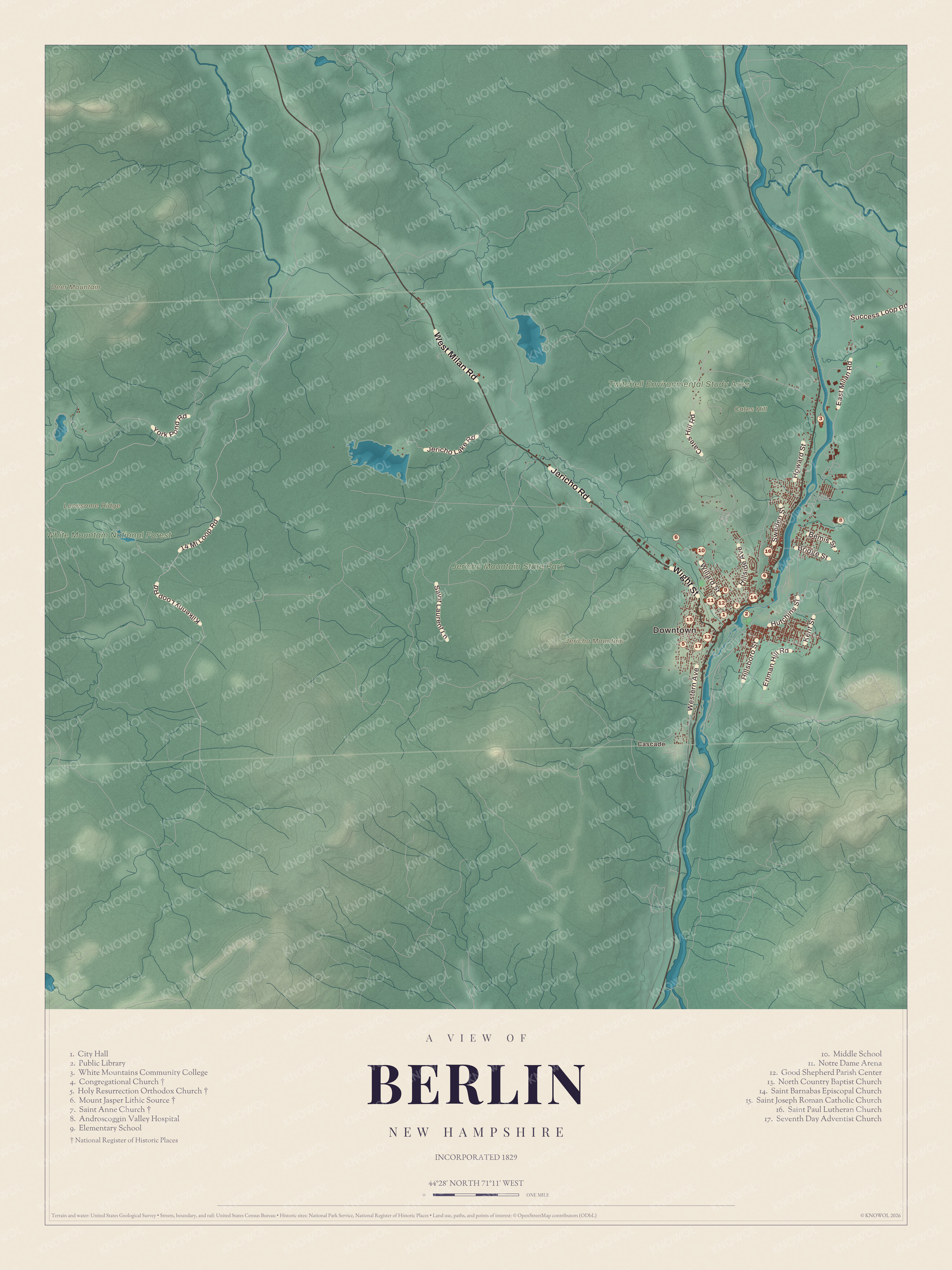
Click to explore a larger preview. The digital watermark does not appear on printed maps.
Names on this map
These names are printed on this map.
Places: Downtown, Cascade, Cates Hill, Deer Mountain, Jericho Mountain, Lonesome Ridge, White Mountain National Forest, Jericho Mountain State Park, Twitchell Environmental Study Area, City Hall, Public Library, White Mountains Community College, Congregational Church, Holy Resurrection Orthodox Church, Mount Jasper Lithic Source, Saint Anne Church, Androscoggin Valley Hospital, Elementary School, Middle School, Notre Dame Arena, Good Shepherd Parish Center, North Country Baptist Church, Saint Barnabas Episcopal Church, Saint Joseph Roman Catholic Church, Saint Paul Lutheran Church and Seventh Day Adventist Church.
Streets and roads: Jericho Road, West Milan Road, Wight Street, 14 Mi Loop Road, Kilkenny Loop Road, York Pond Road, Cates Hill Road, East Milan Road, Hutchins Street, Hillside Avenue, Western Avenue, Jericho Lake Road.
More street names, A to Z
Bemis Street, Bridge Street, Enman Hill Road, Hillsboro Street, Howard Street, Kent Street, Saint Laurent Lane, Success Loop Road, Sweden Street, Willard Street.
Two Churches
The Congregational Church, on the west side of Main Street downtown at the southern corner of Maple Street, was built in 1882 on land the Berlin Mills Company gave, and it was the community’s first church building. Before it, the congregation, organized in 1836, met in homes, barns and the hall over H. Winslow’s store. It’s a Stick and Eastlake Victorian building with a tower and open belfry, now a private home, and it joined the National Register in 1980.
The Holy Resurrection Orthodox Church, on Petrograd Street, is known in town as “The Russian Church.” About 500 Russians lived in Berlin in 1915, most from the provinces of Grodno, Volyn and Minsk, in today’s Belarus and Ukraine, and they built the church that year, starting on May 1 and finishing on October 1. New York architect John Bergesen designed it with six onion domes, and inside, an icon of Saint Nicholas shows the saint holding the city of Berlin in his hand. It joined the National Register in 1979.
Rivers and Mountains
The city sits where the Dead River meets the Androscoggin. Mount Forist, 2,031 feet, rises over the west side, and the city’s highest point is Mount Weeks, at 3,901 feet. West of the center is Jericho Mountain State Park, made in 2005 from a city park and private land, with Jericho Lake, a flood control reservoir built in the 1970s, and miles of ATV trails; Berlin even lets ATVs ride on city streets. Jericho Mountain itself, 2,454 feet, lies just east of the park. The Abenaki called it Miccasadenauk, “mountain with a black summit,” and many locals still call it Black Mountain. Cascade, a village in the south part of the city, is printed by name, and so are Berlin City Hall and the Berlin Public Library.
This map of Berlin makes a handsome addition to a living room, office, library or den, and it can even help teach children the geography and history of the city. It’s a thoughtful gift for anyone who calls Berlin home, worked in the mills, or grew up speaking Berlin French. Created by KNOWOL in 2026, it’s printed on museum quality archival paper. Zoom in on the preview above to explore the details, then click here to get your copy of the Berlin map.

Sources