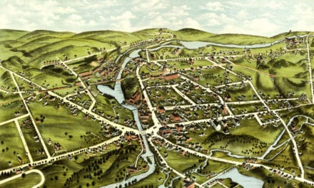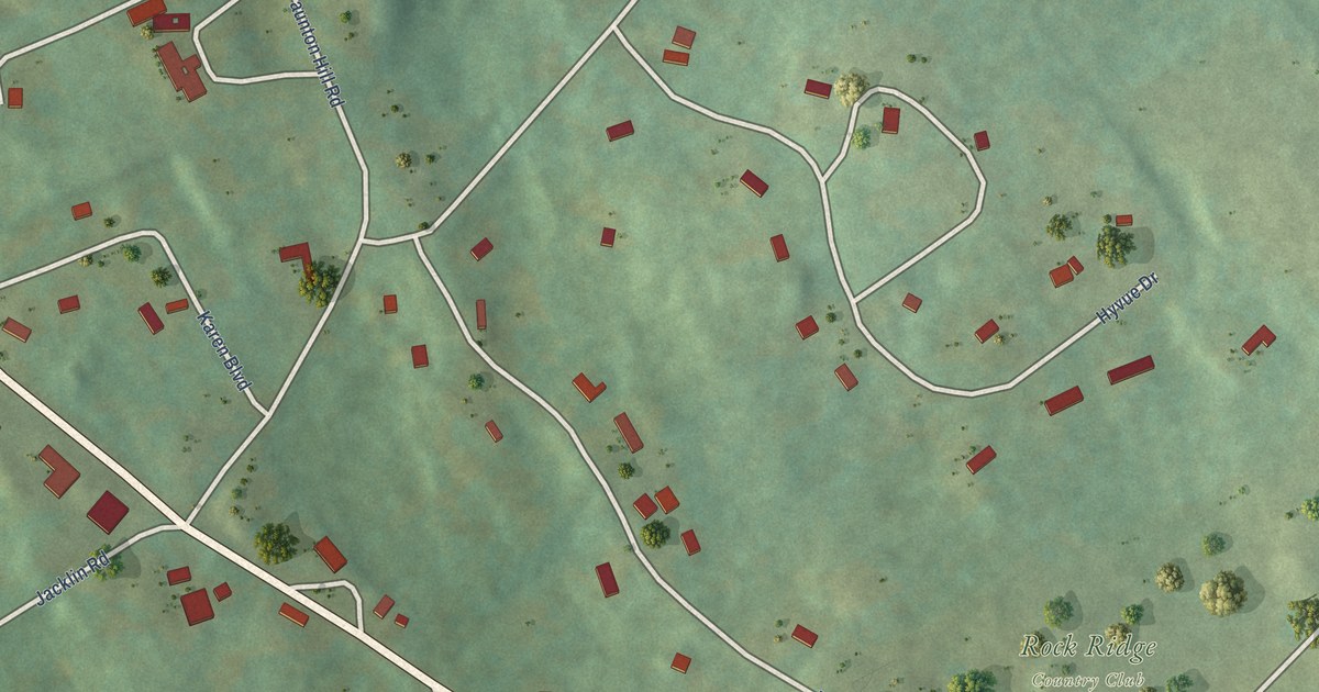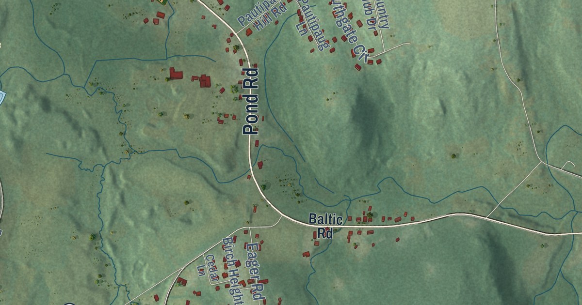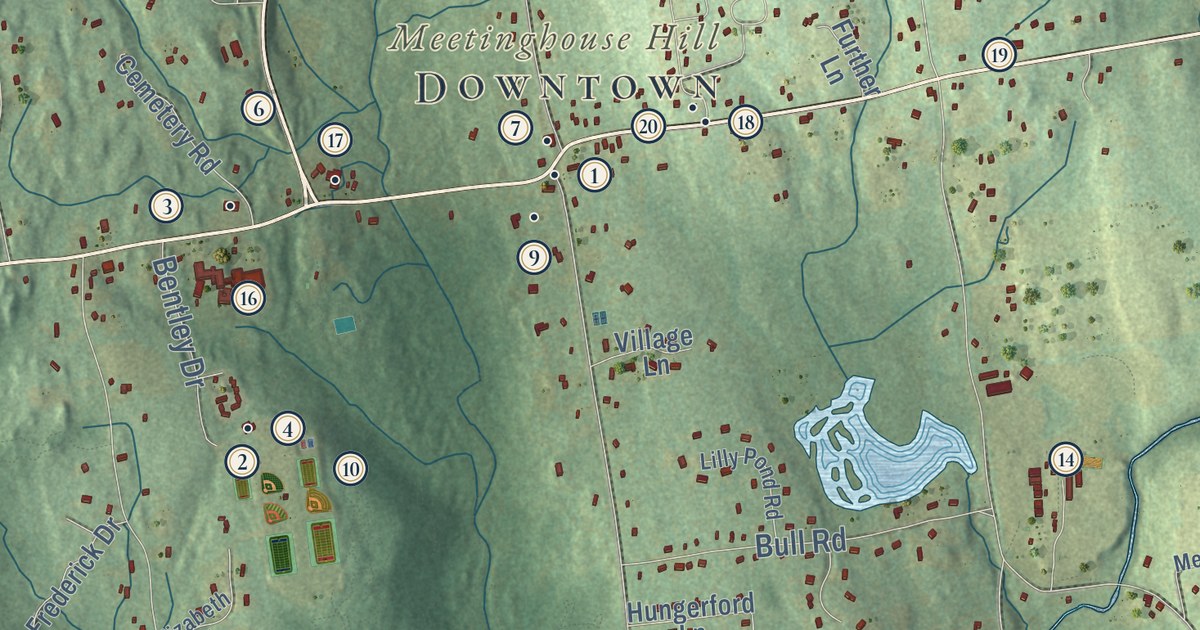
This beautifully detailed map of Harwinton, Connecticut was created in 2026 using aerial imagery combined with modern topographical, census, street and landmark data. It’s a one-of-a-kind view of Harwinton that combines accurate data with a vintage aesthetic. The map shows every building in its true location, many of the roads carry their names, and the shaded topographic relief shows the shape of the land.
See it on a wall
The Harwinton map as an 18 x 24 inch print in a black frame.

Explore an aerial view of Harwinton, Connecticut
On the map you’ll find Downtown, Harmony Hill, Meetinghouse Hill, Scoville Hill, Bristol Reservoir Number Five, Bristol Reservoir Number Two, and Roraback Wildlife Area, along with Litchfield Road, Burlington Road, Birge Park Road, Hill Road, Terryville Road, and more. If you look closely you can even find your house accurately drawn in its correct location. Zoom in on the preview to look for yours. Click here to learn more about the history of Harwinton.
Take a closer look at the Harwinton map
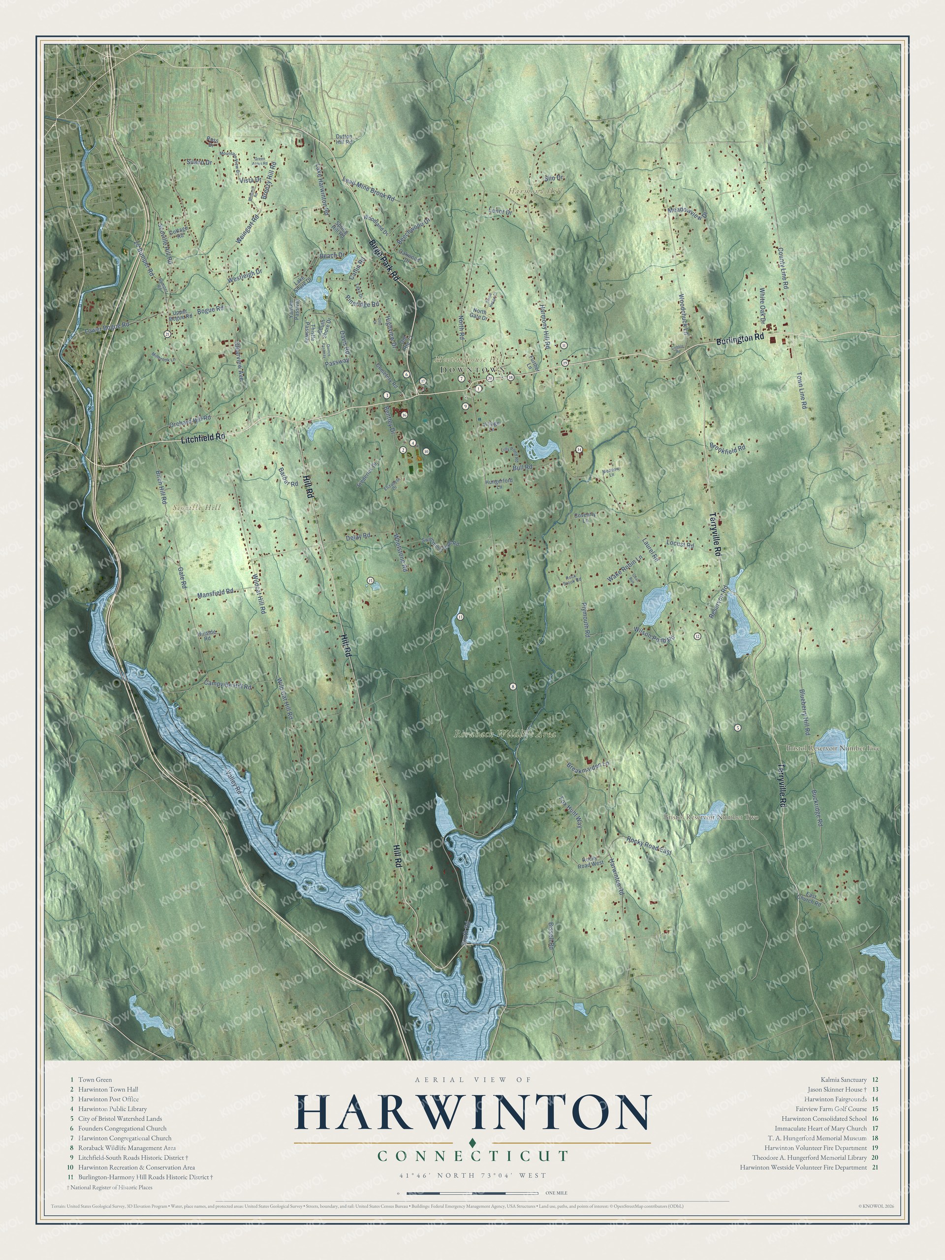
Click to explore a larger preview. The digital watermark does not appear on printed maps.
Names on this map
These names are printed on this map.
Places: Downtown, Harmony Hill, Meetinghouse Hill, Scoville Hill, Bristol Reservoir Number Five, Bristol Reservoir Number Two and Roraback Wildlife Area.
Streets and roads: Litchfield Road, Burlington Road, Birge Park Road, Hill Road, Terryville Road, County Line Road, Wild Cat Hill Road, 24 Bumper Road, Town Line Road, Wildcat Hill Road, Scoville Hill Road, Woodchuck Lane.
More street names, A to Z
Barber Road, Beach Drive, Beechwood Drive, Bentley Drive, Birch Hill Road, Bissell Road, Blueberry Hill Road, Bogue Road, Breakmaiden Lane, Breezy Hill Road, Brookfield Road, Buckridge Road, Bull Road, Bumper Road, Campville Hill Road, Catlin Road, Cemetery Road, Clearview Avenue, Cobble Road, Cottage Road, Coventry Lane, Davis Road, Delay Road, Dutton Hill Road, East Church Road, Elizabeth Drive, Fox Hunt Way, Frederick Drive, Further Lane, Gale Road, Green Acres Road, Harmony Hill Road, Harwinton Road, Highview Drive, Hillside Road, Hungerford Lane, Lake Drive, Lake Harwinton Road, Lake Shore Drive, Laurel Road, Lead Mine Brook Road, Lenor Drive, Lilly Pond Road, Locust Road, Lower Bogue Road, Mansfield Road, Meadow Lane, Meadowview Drive, Millbrook Lane, Mountain View Drive, North Gate Drive, North Road, Oakwood Drive, Old Route 72, Orchard Hill Road, Otto Drive, Passway, Pineridge Road, Plymouth Road, Quail Run, Quince Passway, Reservoir Road, Rock Brook Road, Rocky Road East, Rocky Road West, Ross Drive, Silano Drive, Silo Drive, South Road, South Shore Drive, Spring Hill Road, Stone Hedge Court, Swimming Hole Road, Thistle Passway, Upper Bogue Road, Valley Road, Village Lane, Vista Drive, Wake Robin Lane, Weingart Road, Westleigh Drive, Whetstone Road, White Oak Drive, Wilson Pond Road, Windmill Road, Woodland Drive, Yankee Passway.
This beautifully detailed map of Harwinton makes an attractive addition to your office, library, or den, and it can even be used to teach children the geography and history of the area. It also makes a great gift for anyone who grew up in Harwinton or moved away. When you’re done exploring, click here to get your copy of the Harwinton map.