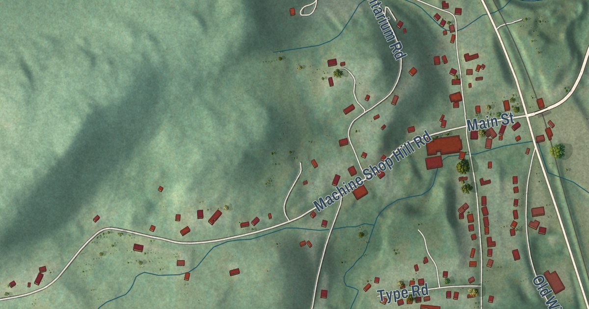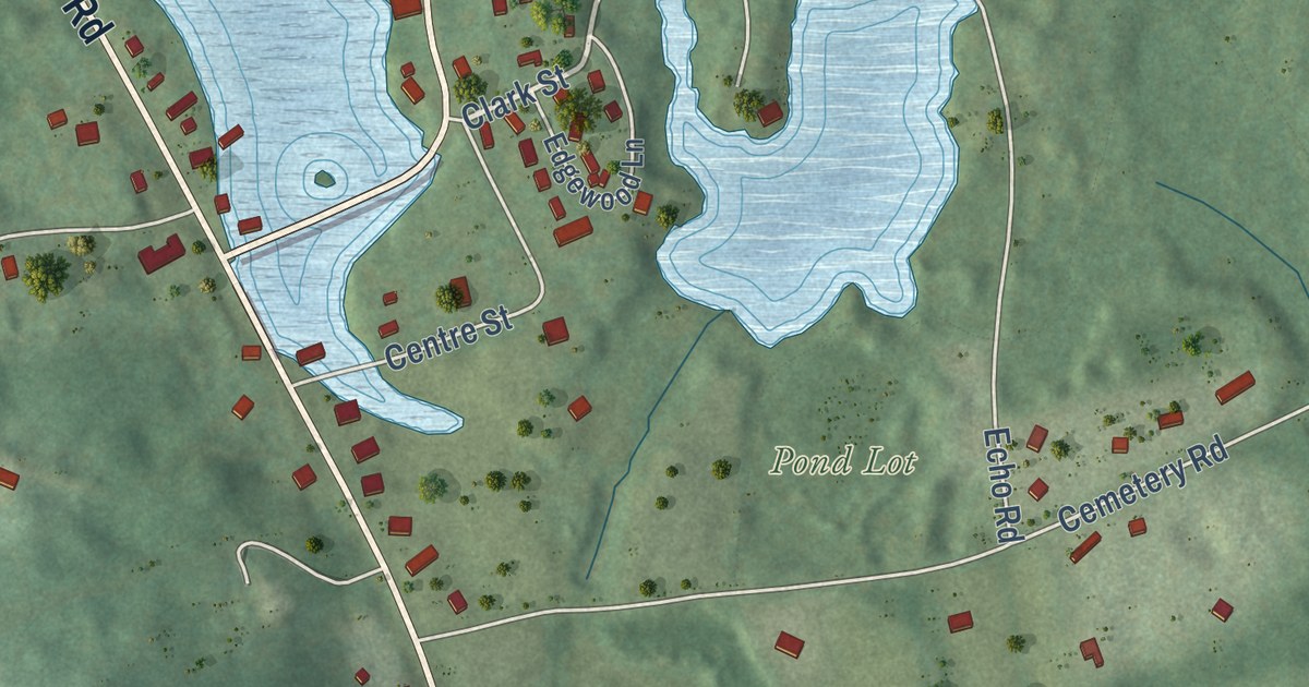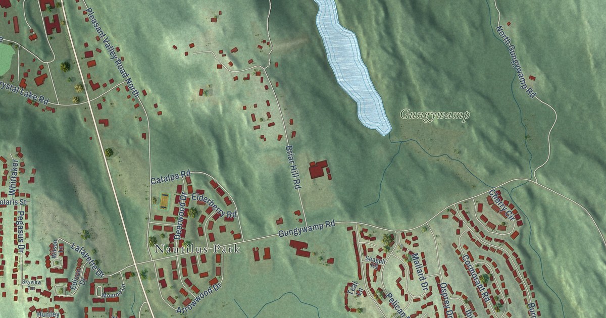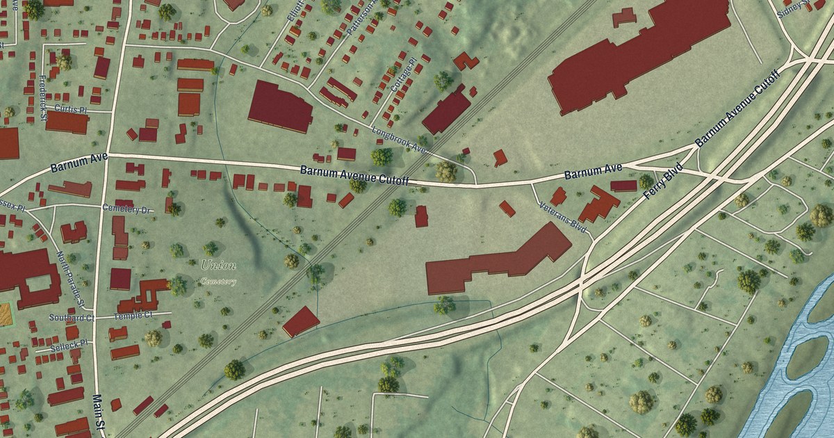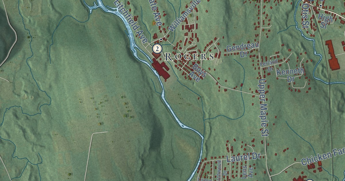
This beautifully detailed map of Killingly, Connecticut was created in 2026 using aerial imagery combined with modern topographical, census, street and landmark data. It’s a one-of-a-kind view of Killingly that combines accurate data with a vintage aesthetic. The map shows every building in its true location, many of the roads carry their names, and the shaded topographic relief shows the shape of the land.
See it on a wall
The Killingly map as an 18 x 24 inch print in a black frame.

Explore an aerial view of Killingly, Connecticut
On the map you’ll find Downtown, Pineville, Allen Hill, Alva Pond Hill, Bear Hill, Acme Pond, Alexander Lake, Old Furnace State Park, Quandoc Conservation Area, South Killingly, Rogers, Danielson, and more. If you look closely you can even find your house accurately drawn in its correct location. Zoom in on the preview to look for yours. Click here to learn more about the history of Killingly.
Take a closer look at the Killingly map
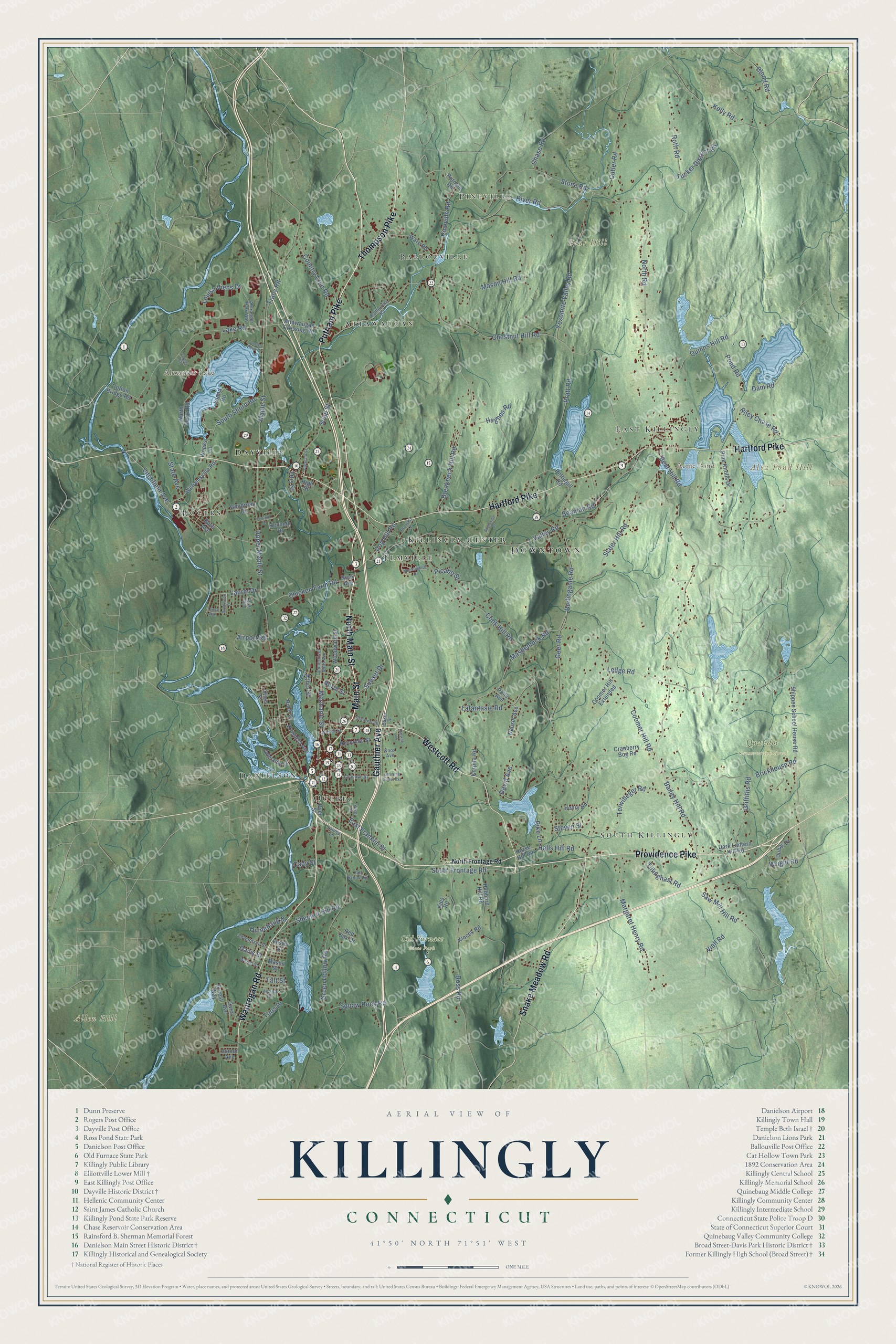
Click to explore a larger preview. The digital watermark does not appear on printed maps.
Names on this map
These names are printed on this map.
Places: Downtown, Pineville, Allen Hill, Alva Pond Hill, Bear Hill, Acme Pond, Alexander Lake, Old Furnace State Park, Quandoc Conservation Area, South Killingly, Rogers, Danielson, Attawaugan, Elmville, Ballouville, Dayville, Killingly Center, Quebec and East Killingly.
Streets and roads: Main Street, Putnam Pike, Wauregan Road, Providence Pike, North Main Street, Gauthier Avenue, Hartford Pike, Westcott Road, Snake Meadow Road, Thompson Pike, Kelly Road, Green Hollow Road.
More street names, A to Z
Adelaide Street, Airport Road, Alexander Park Way, Athol Street, Attawaugan Crossing Road, Bailey Hill Road, Baker Street, Ballouville Road, Beaman Road, Bear Hill Road, Birchwood Drive, Blood Road, Boys Avenue, Breakneck Hill Road, Brickhouse Road, Brookside Drive, Burlingame Road, Cady Street, Carol Avenue, Chase Road, Chestnut Hill Road, Chicken Farm Road, Connecticut Mills Avenue, Cook Hill Road, Coomer Hill Extended, Coomer Hill Road, Cotton Bridge Road, Country Club Road, Cranberry Bog Road, Cross Street, Cutler Road, Dam Road, Dark Lantern Hill Road, David Avenue, Davis Street, Dog Hill Road, Dubay Drive, Dyer Street, East Franklin Street, Edwardsen Street, Ernest Way, Fall Brook Road, Ferland Drive, Forbes Road, Foster Street, Geer Road, Gendreau Drive, Griffiths Road, Halls Hill Road, Henry Road, High Street, Hillside Vw, Horse Hill Road, Hubbard Hill Road, Hughes Road, Island Road, Junior Avenue, Kenneth Drive, Kent Street, Kies Road, Klocek Road, Knox Avenue, Korpita Road, Lafantasie Road, Lainey Lane, Lake Road, Laurel Drive, Laurel Point Drive, Ledge Road, Lens Avenue, Lhomme Street, Lhomme Street Extension, Litchfield Avenue, Louisa Viens Drive, Luzon Avenue, Maple Street, Margaret Henry Road, Mashentuck Road, Mason Hill Road, Mason Street, Mechanic Street, Mockingbird Drive, Nauset Avenue, North Frontage Road, North Road, North Shore Road, North Street, Otis Street, Pettingill Road, Picabo Street, Pike Lane, Pine Knolls Drive, Pineville Road, Pleasant Street, Polly Avenue, Pond Road, Pratt Road, Prospect Avenue, Provost Lane, Putnam Road, Quinebaug Drive, Quinns Hill Road, Red Oak Drive, Reynolds Street, Riley Chase Road, River Road, River Street, Rock Avenue, Ross Road, Roth Road, Saw Mill Hill Road, Shepard Hill Road, Shippee School House Road, Slater Hill Road, Soap Street, South Frontage Road, South Shore Road, State Avenue, Stearns Street, Steven Street, Stone Road, Sunset Drive, Taft Street, Taos Drive, Terwilleger Road, Tillinghast Road, Tracy Road, Tucker District Road, Upper Maple Street, Valley Road, Vezina Drive, Viall Road, Ware Road, Weeks Lane, Welsh Street, Williamsville Road, Winter Street, Woodward Street, Wright Road, Yosemite Valley Road.
This beautifully detailed map of Killingly makes an attractive addition to your office, library, or den, and it can even be used to teach children the geography and history of the area. It also makes a great gift for anyone with Killingly roots. When you’re done exploring, click here to get your copy of the Killingly map.