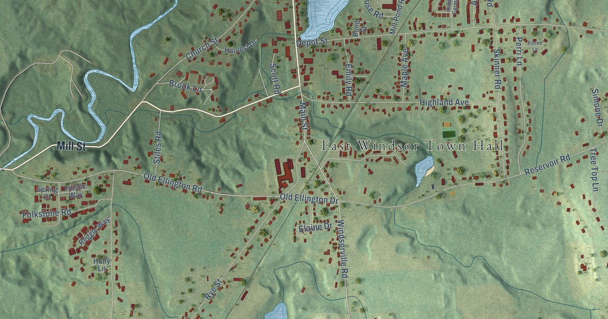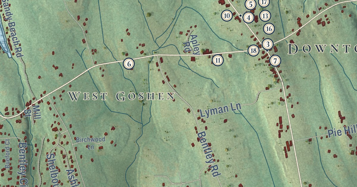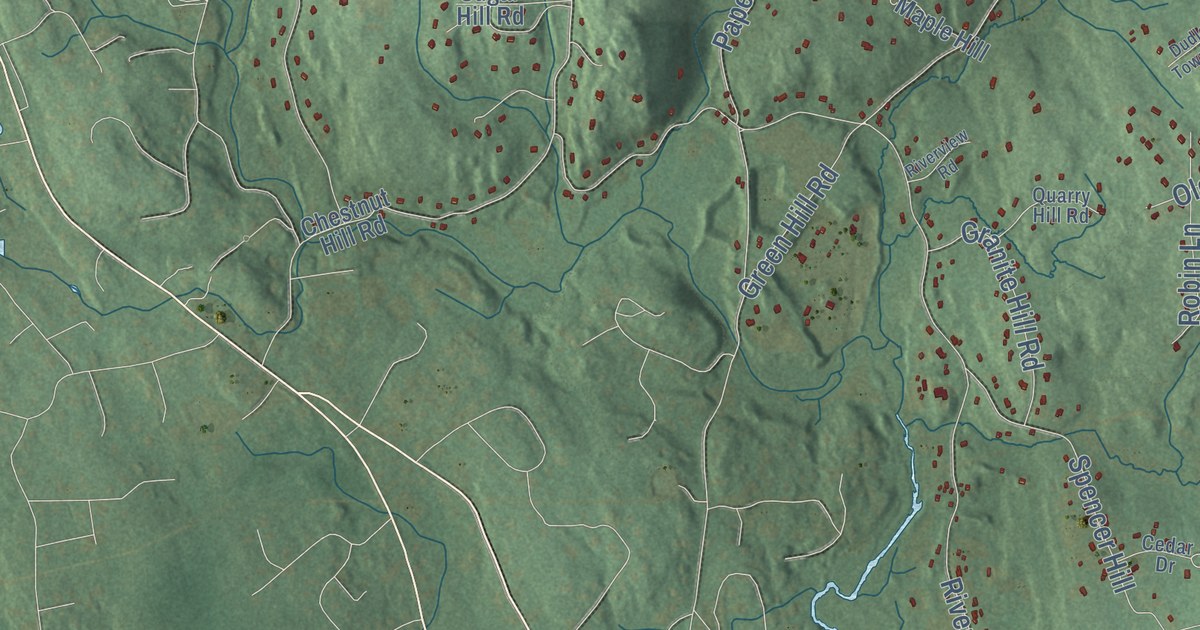
This beautifully detailed map of Killingworth, Connecticut was created in 2026 using aerial imagery combined with modern topographical, census, street and landmark data. It’s a one-of-a-kind view of Killingworth that combines accurate data with a vintage aesthetic. The map shows every building in its true location, many of the roads carry their names, and the shaded topographic relief shows the shape of the land.
See it on a wall
The Killingworth map as an 18 x 24 inch print in a black frame.

Explore an aerial view of Killingworth, Connecticut
On the map you’ll find Downtown, Buell Hill, Bunker Hill, Chestnut Hill, Deer Lake, Dudley Pond, Chatfield Hollow State Park, Cockaponset State Forest, Forster Pond State Park, and Welter Woods, along with Deep River Road, Tooley Road, and more. If you look closely you can even find your house accurately drawn in its correct location. Zoom in on the preview to look for yours. Click here to learn more about the history of Killingworth.
Take a closer look at the Killingworth map
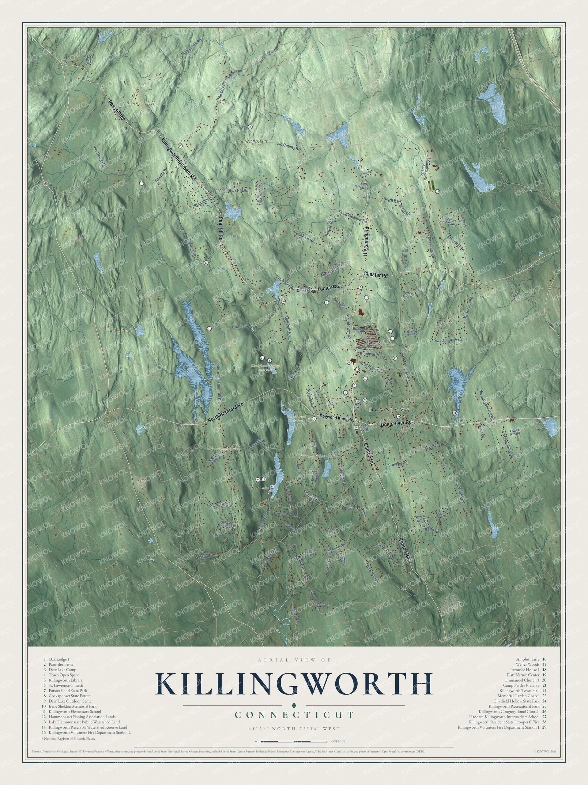
Click to explore a larger preview. The digital watermark does not appear on printed maps.
Names on this map
These names are printed on this map.
Places: Downtown, Buell Hill, Bunker Hill, Chestnut Hill, Deer Lake, Dudley Pond, Chatfield Hollow State Park, Cockaponset State Forest, Forster Pond State Park and Welter Woods.
Streets and roads: Deep River Road, Tooley Road, Pea Hill Road, Clinton Road, Chester Road, Higganum Road, Killingworth-Durham Road, North Branford Road, Schnoor Road, Jay Dowd Road, Roast Meat Hill Road, Pond Meadow Road.
More street names, A to Z
Abner Lane, Alders Bridge Road, Bar Gate Trail, Beaver Dam Road, Beckwith Road, Beech Tree Ridge, Bethke Road, Birch Mill Road, Blueberry Hill Reserve, Blue Hills Road, Bridlepath Trail, Buck Road, Buell Hill Road, Bunker Hill Road, Burr Hill Road, Caughlin Road, Cedar Drive, Champlin Road, Chestnut Hill Road, Chittenden Road, Cooks Lane, County Road, Cow Hill Road, Cow Pen Hill Road, Crose Road, Deer Ridge Road, Dogwood Knoll Road, Dudley Towne Road, Ely Lane, Emanuel Church Road, Fawn Hill Road, Firetower Road, Forest Glen Drive, Fox Run Lane, Fritz Road, Granite Hill Road, Green Hill Road, Grouse Court, Harden Road, Hemlock Drive, Hilldale Trail, Home Stake Lane, Hunters Ridge Road, Iron Works Road, Jackson Road, Jenifer Lane, Keith Circle, Kelseytown Road, Kenilworth Drive, Lafata Lane, Laurel Ridge Trail, Linnea Lane, Little City Road, Lovers Lane, Madison Hollow, Maple Hill, Mill Farms Road, Murray Pond Road, North Chestnut Hill Road, North Parker Hill Road, North Roast Meat Hill Road, North Tower Hill Road, Oak Lane, Old County Road, Old Deep River Turnpike, Old Mine Road, Paper Mill Road, Parker Hill Road, Parker Hill Road Extended, Pine Orchard Road, Quarry Hill Road, Rachel Court, Rebecca Lane, Reservoir Road, River Road, Riverview Road, Robin Lane, Saddlebrook Drive, Spencer Hill, Stevens Road, Stonehill Drive, Sugar Hill Road, Surrey Ridge, Swan Lake Trail, Timber Lane, Titus Coan Road, Tower Hill Road, Town Clerk Lane, Welsch Farms Road, Whitewood Road, Wolf Hollow Lane.
This beautifully detailed map of Killingworth makes an attractive addition to your office, library, or den, and it can even be used to teach children the geography and history of the area. It also makes a great gift for someone who left Killingworth and still calls it home. When you’re done exploring, click here to get your copy of the Killingworth map.