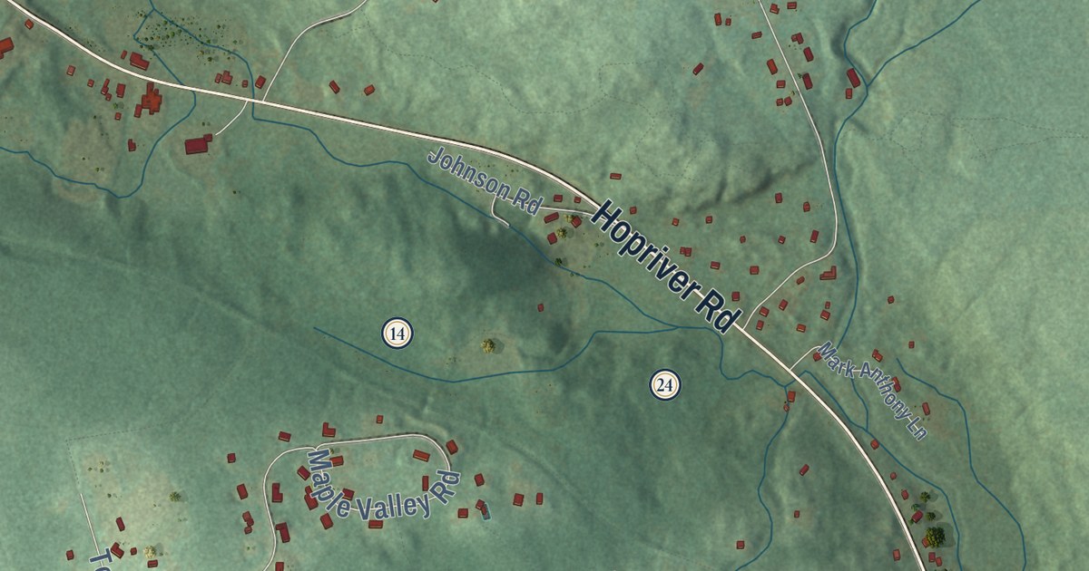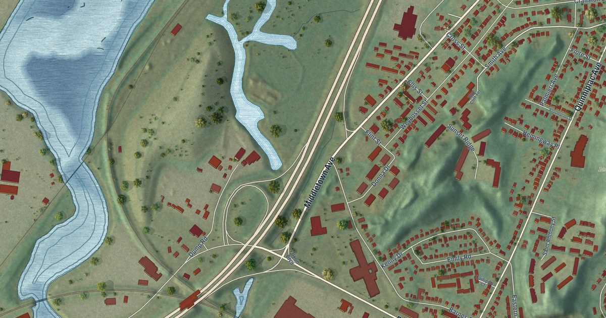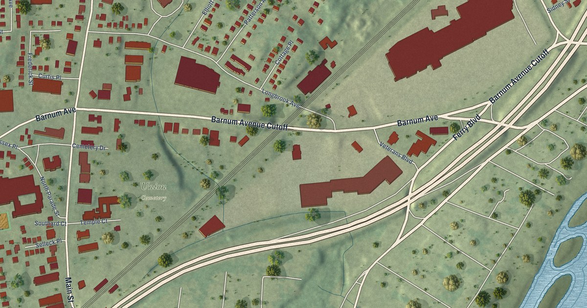
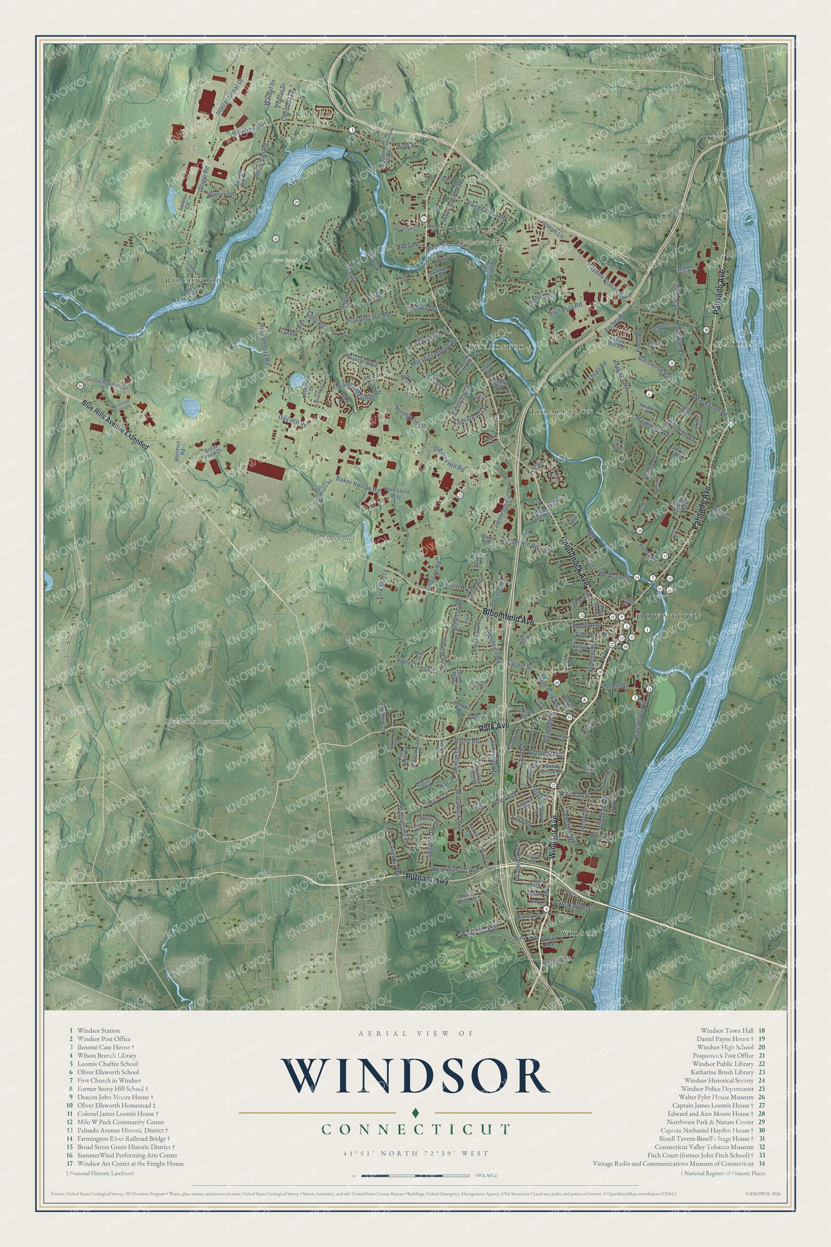
This beautifully detailed map of Windsor, Connecticut was created in 2026 using aerial imagery combined with modern topographical, census, street and landmark data. It’s a one-of-a-kind view of Windsor that combines accurate data with a vintage aesthetic. The map shows every building in its true location, many of the roads carry their names, and the shaded topographic relief shows the shape of the land.
See it on a wall
The Windsor map as an 18 x 24 inch print in a black frame.

Explore an aerial view of Windsor, Connecticut
On the map you’ll find Downtown, Rainbow, Barrett Hill, Cook Hill, Day Hill, Hathaway Hollow, Barber Pond, Blue Hills Reservoir, Keney Park, Northwest Park & Open Space, Hayden, Thralltown, and more. If you look closely you can even find your house accurately drawn in its correct location. Zoom in on the preview to look for yours. Click here to learn more about the history of Windsor.
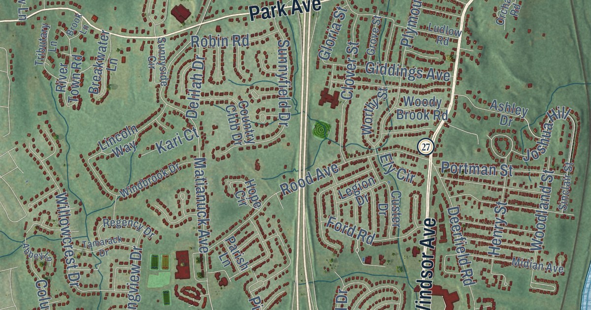
Take a closer look at the Windsor map
Click to explore a larger preview. The digital watermark does not appear on printed maps.
Names on this map
These names are printed on this map.
Places: Downtown, Rainbow, Barrett Hill, Cook Hill, Day Hill, Hathaway Hollow, Barber Pond, Blue Hills Reservoir, Keney Park, Northwest Park & Open Space, Hayden, Thralltown, Wilson, Birchwood, Breakneck and Poquonock.
Streets and roads: Poquonock Avenue, Park Avenue, Palisado Avenue, Windsor Avenue, Bloomfield Avenue, Putnam Highway, High Street, Center Street, Matianuck Avenue, Mountain Road, Archer Road, Day Hill Road.
More street names, A to Z
Abbey Lane, Adam Hill Road, Addison Road, Alcott Drive, Alden Road, Allen Street, Amy Drive, Ashley Drive, Baker Hollow Road, Barber Street, Basswood Road, Batchelder Road, Bellflower Road, Berrios Hill Road, Bina Avenue, Birchwood Road, Bissell Ferry Road, Blue Hills Avenue Extended, Bradford Drive, Breakwater Lane, Brewster Road, Briarwood Drive, Broad Street, Brook Lane, Brookview Road, Buckland Way, Canterbury Lane, Capen Street, Carriage Way, Chestnut Drive, Cleary Lane, Clover Street, Columbia Road, Conestoga Street, Cook Hill Road, Corey Street, Cot Road, Country Club Drive, Crest Drive, Custer Drive, Darwyn Drive, Deerfield Road, Delilah Drive, Derek Lane, Devin Way, Donna Lane, Dudley Town Road, Dunfey Lane, East Barber Street, East Street, Eastview Drive, East Wolcott Avenue, Elaine Mary Drive, Elm Street, Ely Circle, Ethan Drive, Ezra Silva Lane, Farmstead Lane, Filley Street, Ford Road, Forest Road, Foster Lane, Fyler Drive, Giddings Avenue, Gloria Street, Graham Road, Great Pond Drive, Griffin Road North, Griswold Drive, Grove Street, Hale Drive, Hamilton Road, Hampden Place, Hartman Road, Harvest Lane, Hayden Station Road, Helmsford Way, Henry Street, High Path Road, Hillcrest Road, Hobson Avenue, Holcomb Hill Road, Hollow Brook Road, Holly Circle, Hope Circle, Huckleberry Road, Hudson Lane, Indian Hill Road, International Drive, Island Road, Jay Circle, Joseph Lane, Joshua Hill, Kari Court, Kellogg Street, Kennedy Road, Lamberton Road, Lancaster Drive, Lang Road, Lantern Way, Legion Drive, Lincoln Way, Lochview Drive, Locksmith Road, Long Hill Road, Longview Drive, Loomis Avenue, Loren Circle, Ludlow Road, Mack Street, Macktown Road, Maple Avenue, Market Circle, Marshall Phelps Road, Matthew Lane, Mayflower Road, Meadowlark Drive, Meadow Road, Meakin Drive, Mercer Lane, Merli Road, Merriman Road, Michelle Lane, Midian Avenue, Milo Peck Lane, Niles Road, Northfield Drive, Old Day Hill Road, Old Poquonock Road, Old River Street, Old Village Circle, Orchard Road, Oxcart Drive, Parish Lane, Pebblebrook, Phelps Street, Pierce Boulevard, Pierson Lane, Pigeon Hill Road, Pilgrim Drive, Pine Lane, Pleasant Street, Plymouth Street, Pond Road, Poplar Drive, Portman Street, Preston Street, Prospect Hill Road, Rainbow Road, Regency Drive, Ridge Street, River Street, River Town Road, Robin Road, Rood Avenue, Sage Park Road, Saville Street, Scarlet Lane, Scott Lane, Shay Street, Sheffield Drive, Sinclair Street, Somerset Drive, Squire Road, Stage Coach Road, Stevens Mill Road, Stone Road, Summit Drive, Sunnyfield Drive, Sunnyside Circle, Sylvia Lane, Tamarack Drive, Thrall Road, Three Rod Road, Tiffany Drive, Timothy Terrace, Trent Drive, Tributary Lane, Tunxis Street, Village Lane, Walden Meadow Road, Walnut Drive, Waterside Crossing, West Street, West Wolcott Avenue, White Rock Drive, Willowcrest Drive, Wilson Avenue, Windbrook Drive, Winterwood, Winthrop Road, Woodland Street, Woody Brook Road, Worthy Street.
This beautifully detailed map of Windsor makes an attractive addition to your office, library, or den, and it can even be used to teach children the geography and history of the area. It also makes a great gift for anyone with Windsor roots. When you’re done exploring, click here to get your copy of the Windsor map.