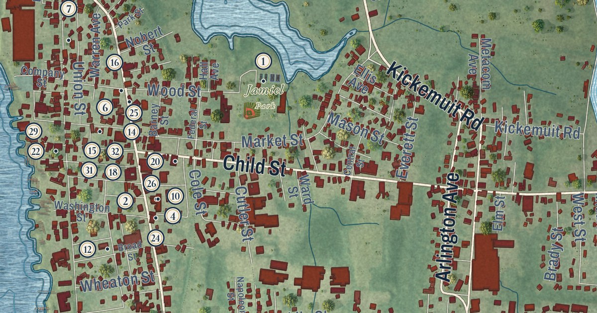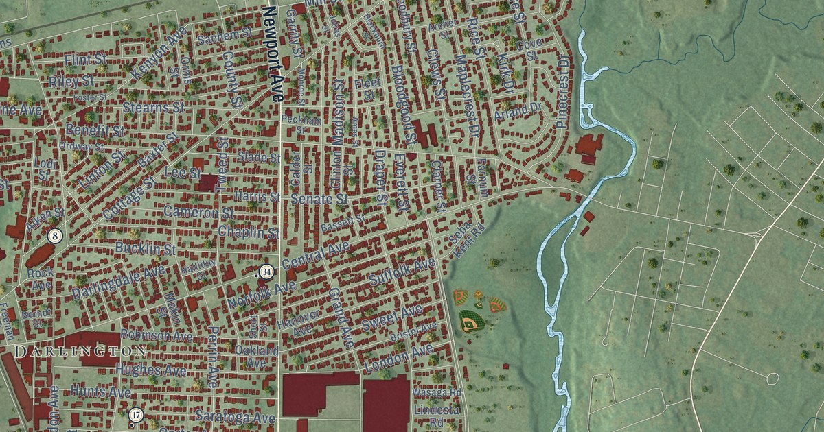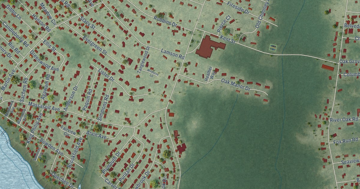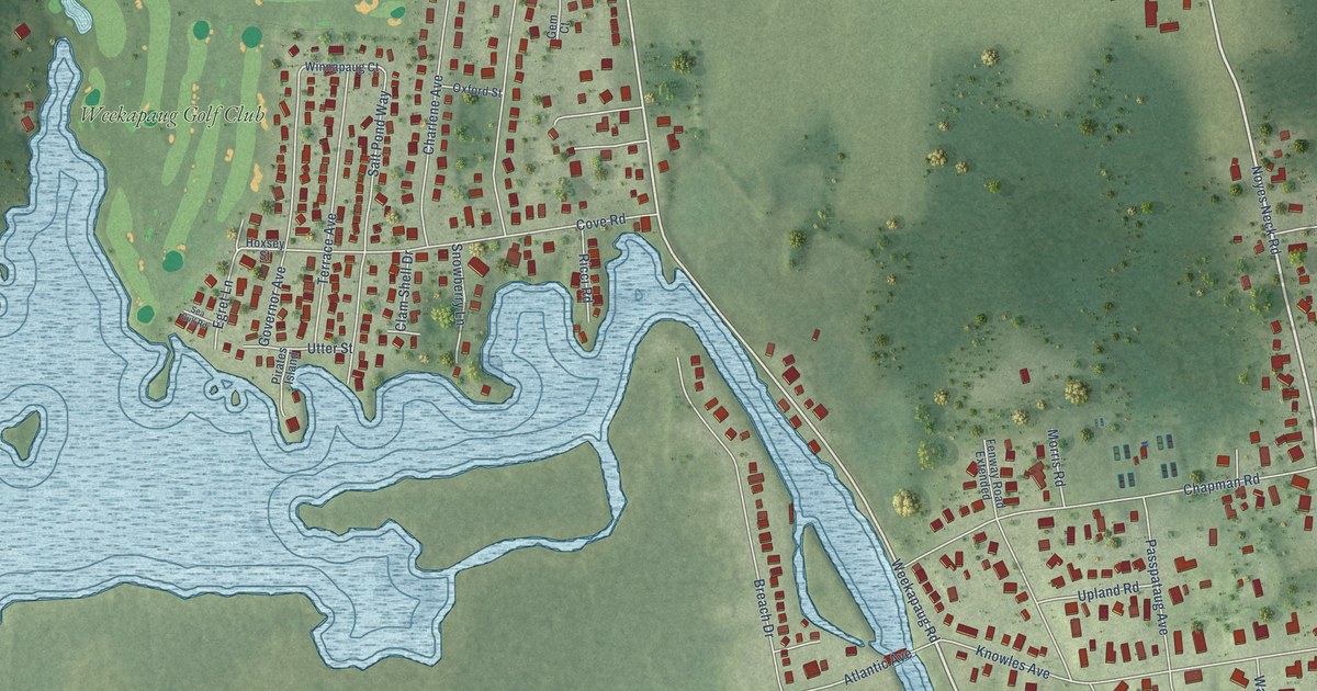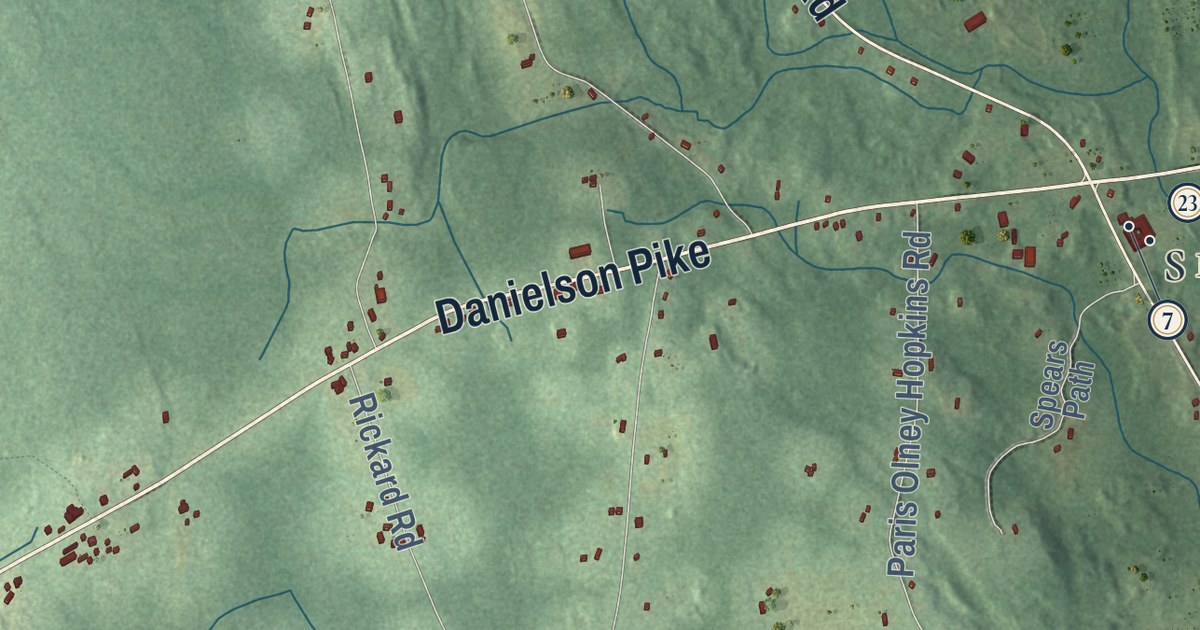
This beautifully detailed map of Foster, Rhode Island was created in 2026 using aerial imagery combined with modern topographical, census, street and landmark data. It’s a one-of-a-kind view of Foster that combines accurate data with a vintage aesthetic. The map shows every building in its true location, many of the roads carry their names, and the shaded topographic relief shows the shape of the land.
See the Foster, Rhode Island map on a wall
The Foster map as an 18 x 24 inch print in a black frame.

Explore an aerial view of Foster, Rhode Island
On the map you’ll find Foster Town Hall, Moosup Valley, North Foster, South Foster, Simmons Corner, Foster Center, and Hopkins Mills, along with Danielson Pike, Plainfield Pike, Victory Highway, Mount Hygeia Road, Grand Army Highway, and more. If you look closely you can even find your house accurately drawn in its correct location. Zoom in on the preview to look for yours.
Did you know this piece of Foster, Rhode Island history?
Foster was part of Scituate from 1730 until 1781, when it split off as its own town. It took its name from U.S. Senator Theodore Foster. The senator gave the town a library. Some of its original books and town records still survive.
Take a closer look at the Foster map
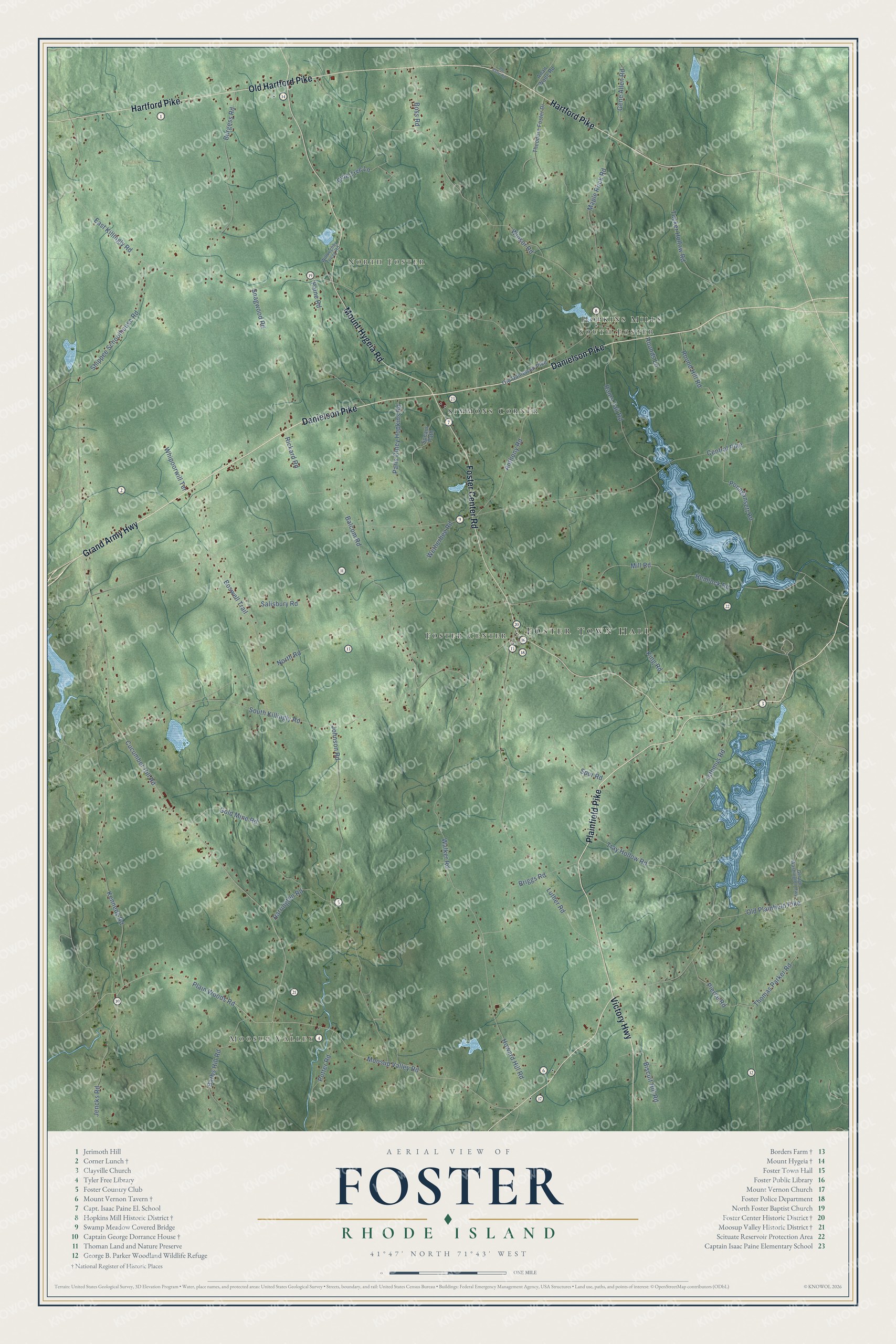
Click to explore a larger preview. The digital watermark does not appear on printed maps.
Street and place names on the Foster, Rhode Island map
These names are printed on the map of Foster, Rhode Island.
Places: Foster Town Hall, Moosup Valley, North Foster, South Foster, Simmons Corner, Foster Center and Hopkins Mills.
Streets and roads: Danielson Pike, Plainfield Pike, Victory Highway, Mount Hygeia Road, Grand Army Highway, Hartford Pike, Old Hartford Pike, Foster Center Road, Plain Woods Road, Cucumber Hill Road, East Killingly Road, Moosup Valley Road.
More street names, A to Z
Anan Wade Road, Anthony Road, Balcom Road, Barbs Hill Road, Biscuit Hill Road, Boss Road, Boswell Trail, Briggs Road, Burgess Road, Central Pike, Gene Allen Road, George Washington Highway, Gold Mine Road, Harrington Road, Hemlock Road, Howard Hill Road, Isthmus Road, Jencks Road, Joe Sarle Road, Johnson Road, Kennedy Road, King Road, Luther Road, Maple Rock Road, Mill Road, North Road, Old Danielson Pike, Old Plainfield Pike, Paine Road, Paris Olney Hopkins Road, Pierce Road, Pine Tree Lane, Ponagansett Road, Potter Road, Rams Tail Road, Rickard Road, Round Hill Road, Rounds Lane, Salisbury Road, Shippee Schoolhouse Road, Snagwood Road, South Killingly Road, Spears Path, Spur Road, Theodore Foster Drive, Thomas Parker Road, Tray Hollow Road, Tucker Hollow Road, Walker Road, Wetherbee Road, Whipoorwill Terrace, Willoughby Young Road, Winsor Road.
This beautifully detailed map of Foster makes an attractive addition to your office, library, or den, and it can even be used to teach children the geography and history of the area. It also makes a great gift for anyone with Foster roots. When you’re done exploring, click here to get your copy of the Foster map.