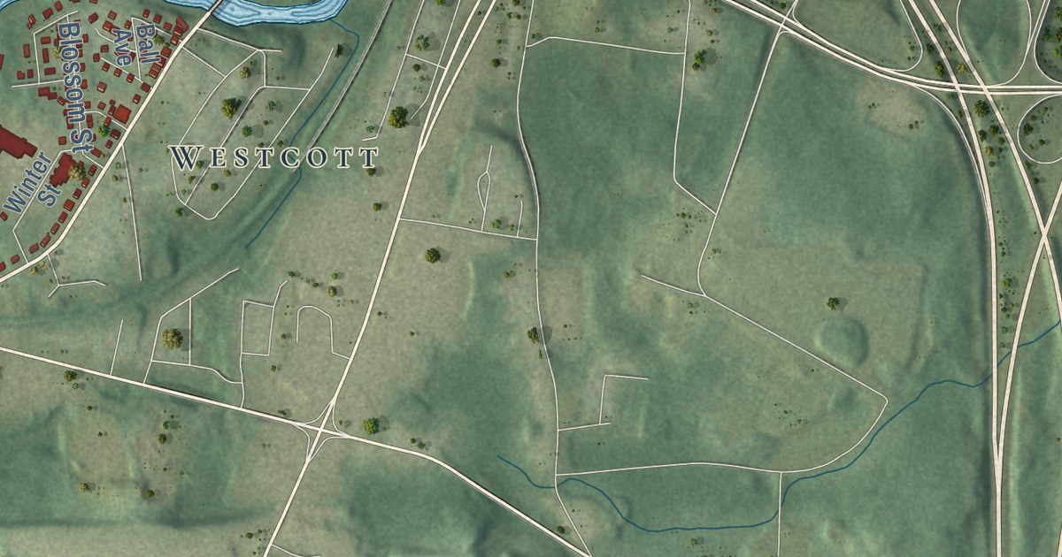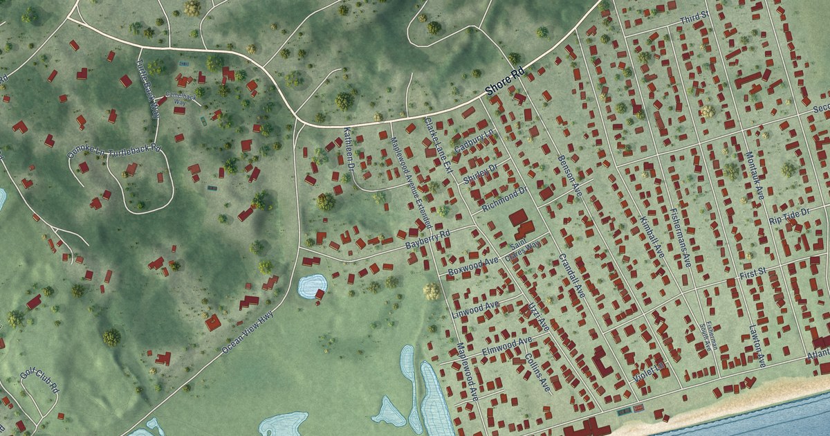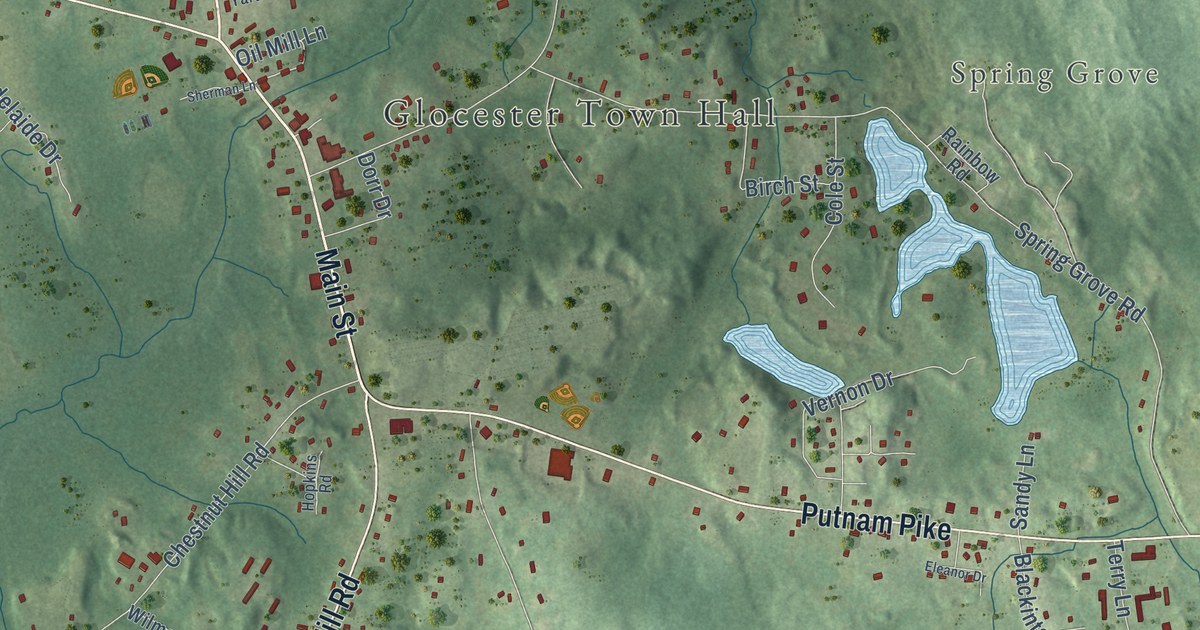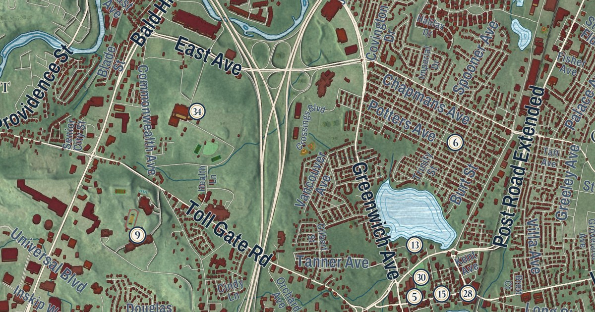
This beautifully detailed map of Warwick, Rhode Island was created in 2026 using aerial imagery combined with modern topographical, census, street and landmark data. It’s a one-of-a-kind view of Warwick that combines accurate data with a vintage aesthetic. The map shows every building in its true location, many of the roads carry their names, and the shaded topographic relief shows the shape of the land.
See the Warwick, Rhode Island map on a wall
The Warwick map as an 18 x 24 inch print in a black frame.

Explore an aerial view of Warwick, Rhode Island
On the map you’ll find Warwick City Hall, Pawtuxet, Bartons Corner, Longmeadow, Pocasset, Hillsgrove, Potowomut, Oakland Beach, Coles, Pontiac, Cowesett, Buttonwoods, and more. If you look closely you can even find your house accurately drawn in its correct location. Zoom in on the preview to look for yours.
Did you know this piece of Warwick, Rhode Island history?
Samuel Gorton settled Warwick in 1642 after buying the land from the Narragansett sachem Miantonomi. Massachusetts later sent militia to arrest Gorton and his followers. He sailed to England to seek a royal charter. Robert Rich, Earl of Warwick, helped him get it, so the settlers renamed their colony from Shawumet.
Take a closer look at the Warwick map
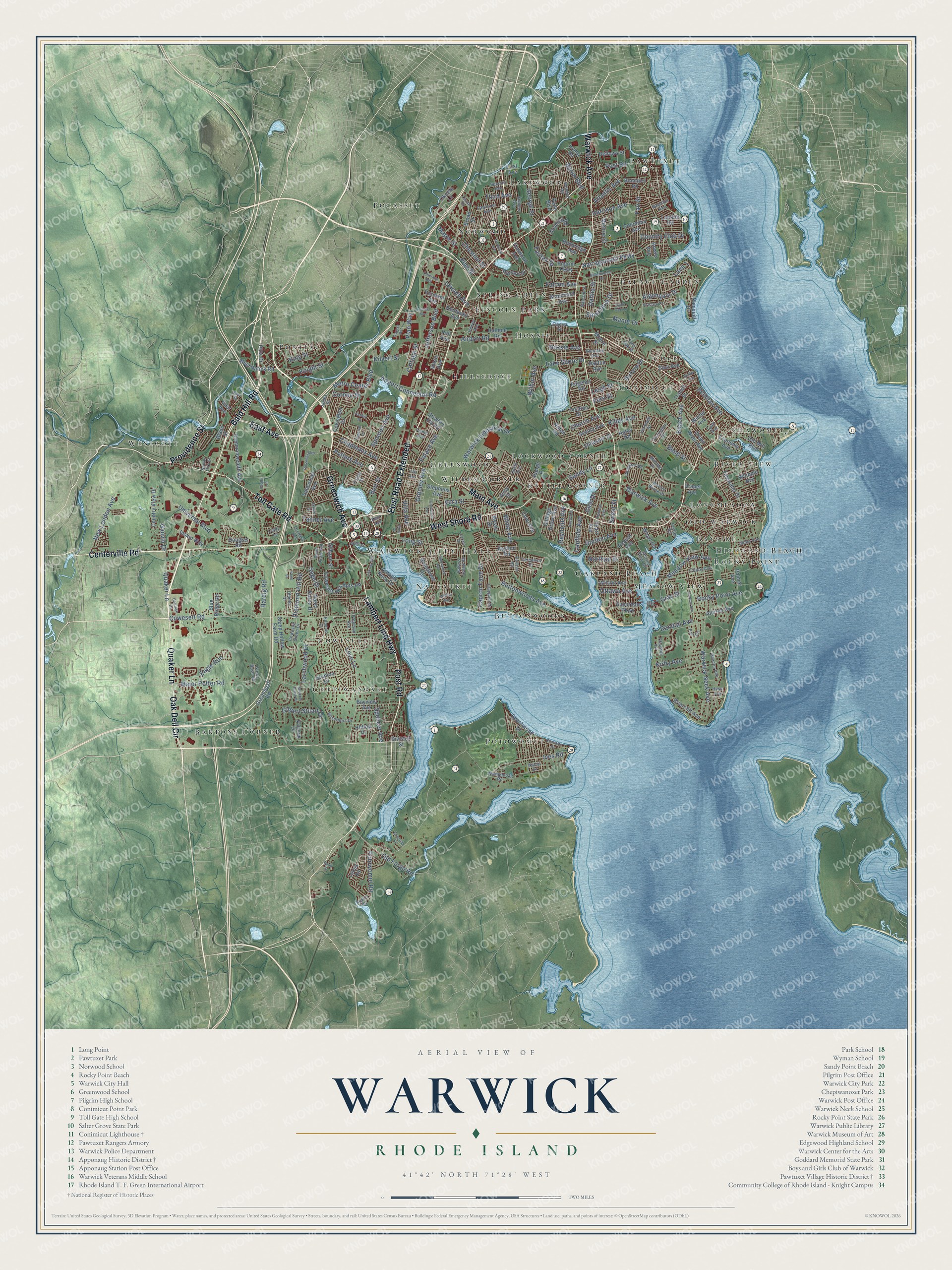
Click to explore a larger preview. The digital watermark does not appear on printed maps.
Street and place names on the Warwick, Rhode Island map
These names are printed on the map of Warwick, Rhode Island.
Places: Warwick City Hall, Pawtuxet, Bartons Corner, Longmeadow, Pocasset, Hillsgrove, Potowomut, Oakland Beach, Coles, Pontiac, Cowesett, Buttonwoods, Westcott, Greenwood, Lincoln Park, Kettle Corner, Palace Garden, Wildes Corner, Shawomet, Nausauket, Hoxsie, Meadow View, Chepiwanoxet, Spring Green, Highland Beach, Norwood, Old Warwick, Lockwood Corner, Conimicut, River View, Lakewood, Bayside and Rocky Point.
Streets and roads: Post Road, Bald Hill Road, Lambert Lind Highway, Centerville Road, Greenwich Avenue, Quaker Lane, Oak Dell Circle, Providence Street, Warwick Avenue, West Shore Road, Main Avenue, East Avenue.
More street names, A to Z
Access Road, Airport Connector Road, Airport Road, Alden Avenue, Aldrich Avenue, Algonquin Drive, Almy Street, Apple Tree Lane, Arnolds Neck Drive, Asylum Road, Atlantic Avenue, Aurora Drive, Austin Road, Bakers Creek Road, Balsam Street, Bayview Avenue, Beach Avenue, Beachwood Drive, Beacon Avenue, Bellman Avenue, Bellows Street, Benbridge Avenue, Bend Street, Benedict Road, Blade Street, Blanchard Avenue, Blue Ridge Road, Bond Street, Brett Court, Briarcliff Avenue, Broad Street, Burt Street, Buttonwoods Avenue, Byron Boulevard, Canfield Avenue, Capron Farm Drive, Carder Road, Carlton Avenue, Carnation Drive, Carriage Drive, Channel Vw, Chapmans Avenue, Charlotte Drive, Chestnut Street, Church Avenue, Cindy Lane, Claypool Drive, Colorado Avenue, Columbia Avenue, Commonwealth Avenue, Corona Street, Cottage Grove Avenue, Cottage Street, Country Club Drive, Country View Drive, Cove Avenue, Coveside Court, Covington Drive, Cowesett Green Drive, Cowesett Hills Apts Road, Cowesett Road, Crossings Boulevard, Cushing Road, Dahlia Street, Dayton Avenue, Dewey Avenue, Diamond Hill Road, Division Street, Douglas Road, Draper Avenue, Drum Rock Avenue, Dudley Avenue, Duncan Road, Eagle Run, Economy Avenue, Edgehill Road, Edmond Drive, Elberta Street, Elmwood Avenue, Eton Avenue, Fairfax Drive, Fair Street, Falcon Avenue, Fern Street, First Avenue, Fisher Avenue, Gauvin Drive, George Street, Gilbane Street, Gilbert Street, Gilbert Stuart Drive, Glendale Avenue, Glen Drive, Gordon Avenue, Governors Drive, Grandview Drive, Gray Street, Greeley Avenue, Greenbush Road, Green Bush Road, Green River Avenue, Groveland Avenue, Haley Road, Halifax Drive, Hallene Road, Hardig Road, Harrison Avenue, Harrop Avenue, Haswill Street, Health Lane, Hess Avenue, Hilltop Drive, Hilton Road, Howie Avenue, Hoxsie Avenue, Imera Avenue, Imperial Drive, Inskip Way, Irene Street, Irving Road, Ives Road, James Street, Jefferson Boulevard, Kenneth Avenue, Kent Avenue, Kentucky Avenue, Killey Avenue, Kilvert Street, King Street, Kirby Avenue, Knight Street, Kristen Court, Lake Shore Drive, Landon Road, Lane 1, Larchwood Drive, Larson Drive, Lavan Street, Leigh Street, Lincoln Avenue, Long Street, Love Lane, Lucas Road, Lyall Avenue, Major Potter Road, Manor Drive, Maple Street, Meadow View Avenue, Metro Center Boulevard, Miantonomo Drive, Michael Drive, Monroe Street, Moore Street, Mystic Drive, Namquid Drive, Nanci Karen Drive, Narragansett Parkway, Nausauket Road, Naushon Avenue, Netop Drive, New London Avenue, Northup Street, Norwood Avenue, Oberlin Drive, Okeefe Lane, Old Forge Road, Old Mill Boulevard, Orchard Avenue, Ottawa Avenue, Palace Avenue, Palm Boulevard, Palmer Avenue, Paterson Avenue, Pawtuxet Avenue, Pearl Avenue, Pell Avenue, Pequot Avenue, Pilgrim Parkway, Pilla Drive, Pine Street, Plan Way, Port Circle, Post Road Extended, Potowomut Road, Potters Avenue, Puritan Drive, Randall Avenue, Range Road, Reynolds Avenue, Rocky Point Avenue, Sage Drive, Sandy Lane, Second Avenue, Second Point Road, Senior City Street, Service Avenue, Sevilla Avenue, Shadow Brook Drive, Sleep Hollow Farm Road, Spencer Avenue, Spooner Avenue, Squantum Drive, Stephens Avenue, Stillwater Drive, Strwbry Fld Road, Stubtoe Drive, Suburban Parkway, Sue Street, Sumner Avenue, Sweet Street, Taft Avenue, Tanner Avenue, Third Avenue, Tidewater Drive, Tiffany Avenue, Toll Gate Road, Torrington Drive, Transit Street, Trinity Street, Twin Oak Drive, Universal Boulevard, Uphill Avenue, Vancouver Avenue, Varnum Drive, Vera Street, Vermont Avenue, Verndale Street, Villa Avenue, Vineyard Road, Walton Avenue, Wampanoag Road, Warner Brook Drive, Warwick Industrial Drive, Warwick Neck Avenue, Water Street, Wendell Road, West Natick Road, Wharf Road, Whipple Avenue, White Avenue, Wilbur Avenue, Wilson Avenue, Winter Avenue, Yucatan Drive.
This beautifully detailed map of Warwick makes an attractive addition to your office, library, or den, and it can even be used to teach children the geography and history of the area. It also makes a great gift for anyone who grew up in Warwick or moved away. When you’re done exploring, click here to get your copy of the Warwick map.