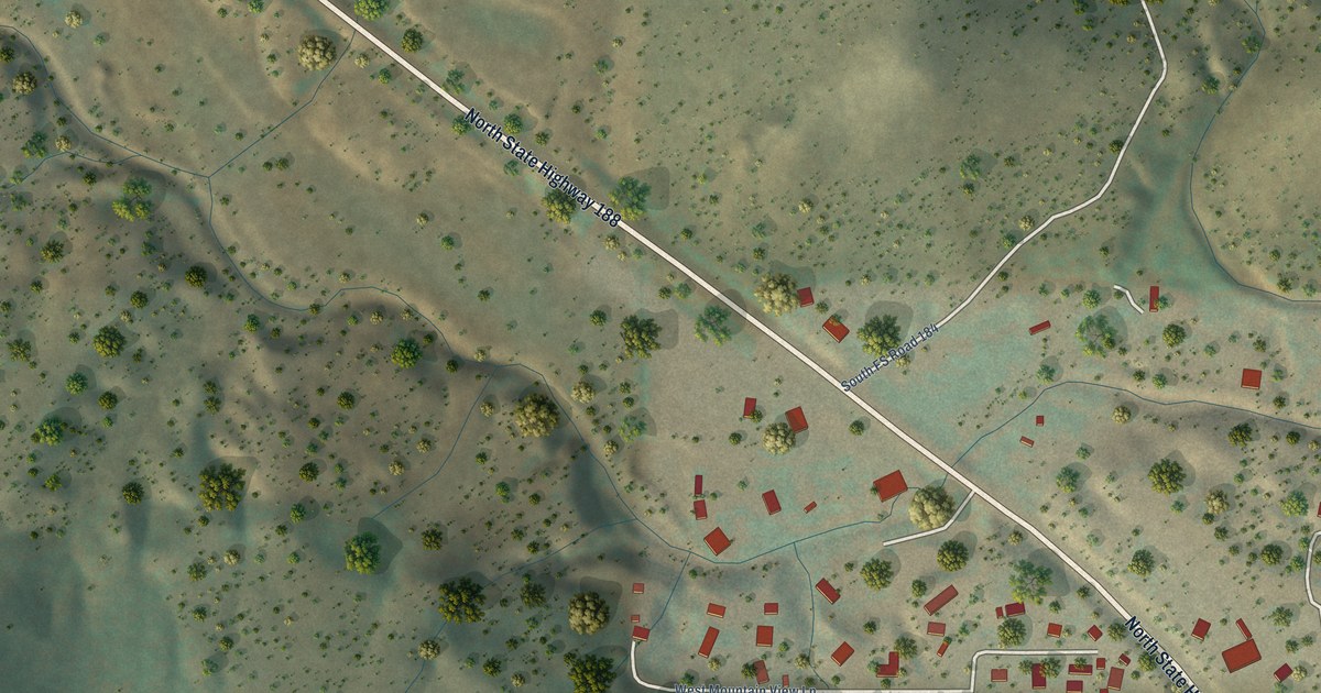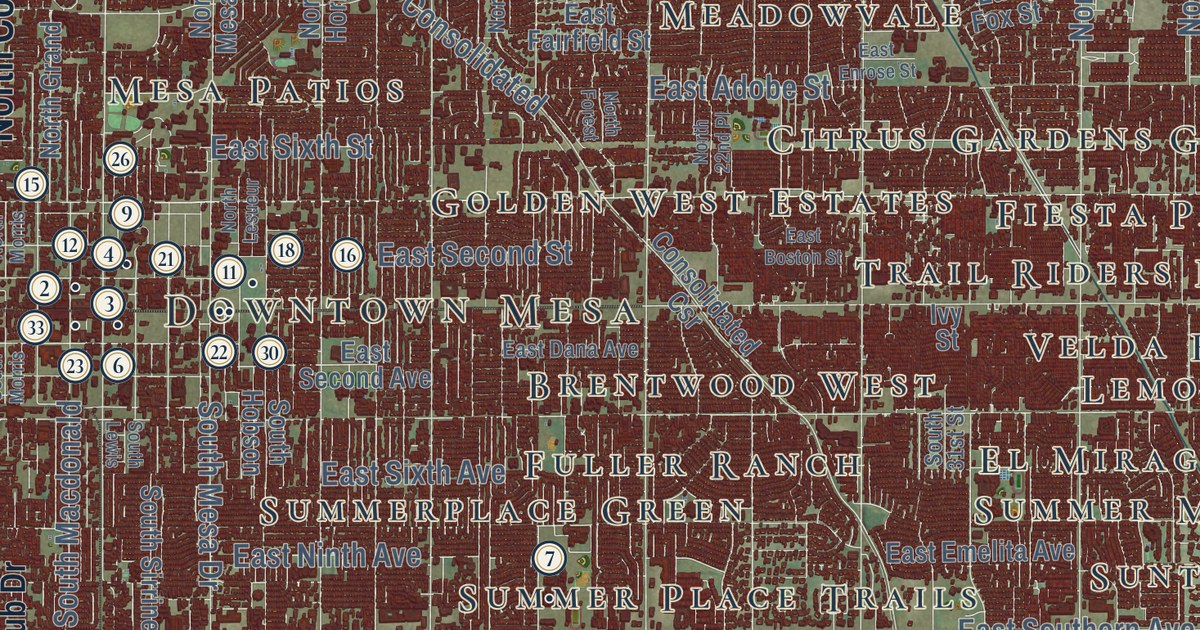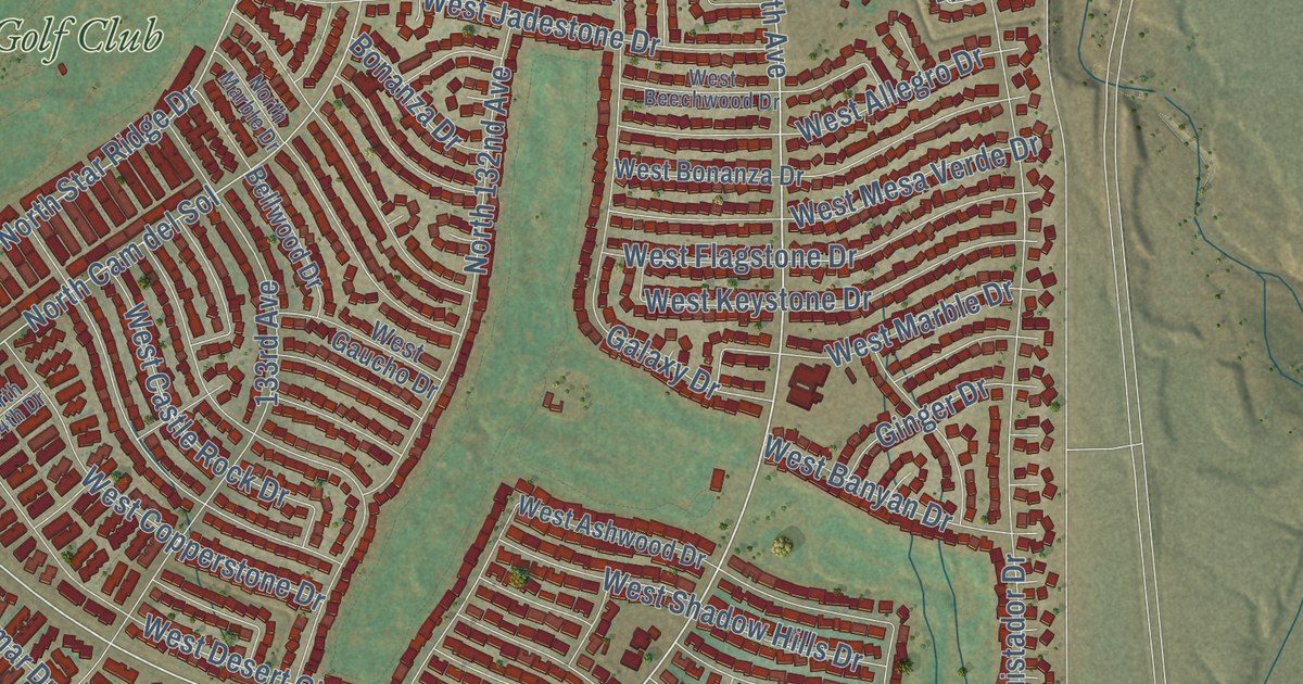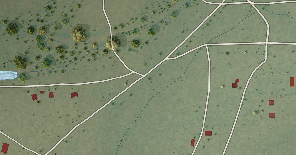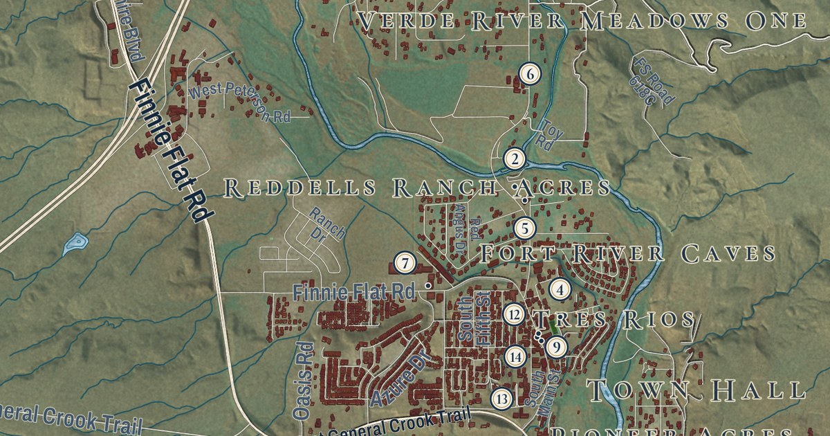
This beautifully detailed map of Camp Verde, Arizona was created in 2026 using aerial imagery combined with modern topographical, census, street and landmark data. It’s a one-of-a-kind view of Camp Verde that combines accurate data with a vintage aesthetic. The map shows every building in its true location, many of the roads carry their names, and the shaded topographic relief shows the shape of the land.
See the Camp Verde, Arizona map on a wall
The Camp Verde map as an 18 x 24 inch print in a black frame.

Explore an aerial view of Camp Verde, Arizona
On the map you’ll find Town Hall, Clear Creek, Aultman, Mesa Verde Estates, Jordan Meadows, Middle Verde, Security Acres, Mountain View Estates, Fort River Caves, Verde River Meadows One, Paradise Acres, Reddells Ranch Acres, and more. If you look closely you can even find your house accurately drawn in its correct location. Zoom in on the preview to look for yours.
Did you know this piece of Camp Verde, Arizona history?
Camp Verde began in 1864 as Camp Lincoln. Arizona volunteers sent from Whipple Barracks, near Prescott, set it up to guard arriving settlers. Regular Army troops later took over the post and called it Fort Verde. By 1900 the area had grown peaceful, and the fort land was sold. That’s from the 1940 WPA guide to Arizona.
Take a closer look at the Camp Verde map
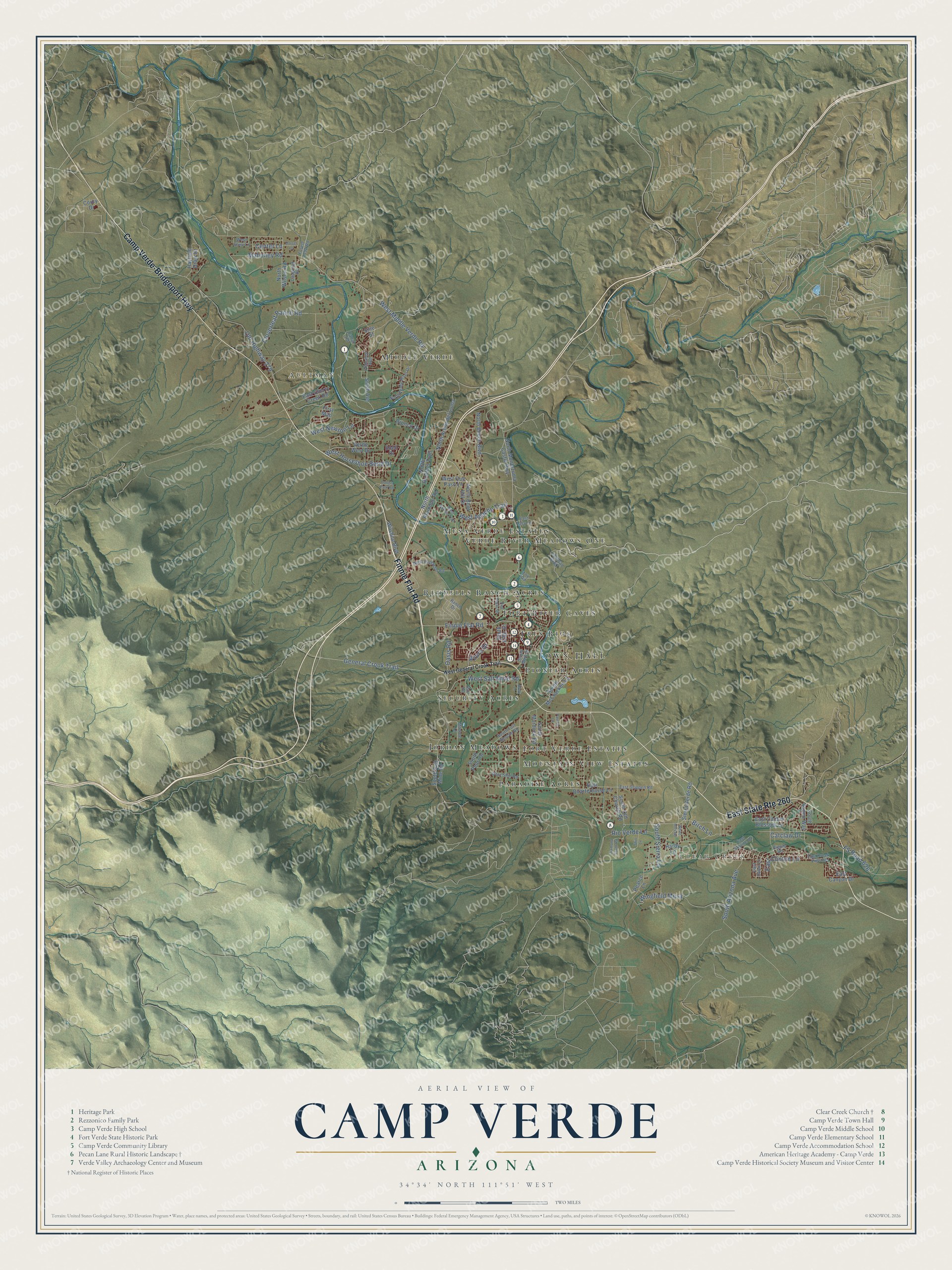
Click to explore a larger preview. The digital watermark does not appear on printed maps.
Street and place names on the Camp Verde, Arizona map
These names are printed on the map of Camp Verde, Arizona.
Places: Town Hall, Clear Creek, Aultman, Mesa Verde Estates, Jordan Meadows, Middle Verde, Security Acres, Mountain View Estates, Fort River Caves, Verde River Meadows One, Paradise Acres, Reddells Ranch Acres, Tres Rios, Pioneer Acres and Fort Verde Estates.
Streets and roads: East State Route 260, Camp Verde-Bridgeport Highway, Finnie Flat Road, General Crook Trail, Birch Lane, West Middle Verde Road, Old Highway 279, Cloverleaf Ranch Road, FS Road 626, West Horseshoe Bend Drive, Rio Verde Lane, Wingfield Mesa.
More street names, A to Z
Afton Lane, Azure Drive, Bronco Drive, Canal Road, Catclaw Drive, Caughran Road, Center Lane, Coury Drive, Diamond South Road, Dorset Lane, Doug's Park Road, East Cactus Blossom Lane, East Canyon Drive, East Cherry Creek Road, East Clinton Lane, East Creek View Drive, East Grippen Road, East Lacy Lane, East Quarterhorse Lane, East Robin Lane, East Skyline Drive, First Man, Hamaley Avenue, Hardy Lane, Hayfield Draw Drive, Mahoney Road, Monroe Lane, North Arena del Loma, North Beech Boulevard, North Boot Hill Drive, North Montezuma Castle Highway, North Roundup Road, North Rustlers Trail, North Verde River Drive, North Wilson Road, Oasis Road, Parrish Lane, Pearce Lane, Ranch Drive, Red Angus Drive, Ripple Road, Shill Lane, Sierra Verde Road, Sine Street, Smith Avenue, Snell Drive, South Arizona Avenue, South Aspen Way, South Fifth Street, South Fort Apache Road, South Main Street, South McCracken Lane, South Murdock Road, South Old Church Road, South Pearl Drive, South Salt Mine Road, South Sierra Lane, Toy Road, Vail Road, Verde West Drive, West Apache Trail, West Buffalo Trail, West General Crook Trail, West Newton Lane, West Peterson Road, West Que Paso Lane, West Salt Mine Road, West Shea Lane, West Shill Road, White Hills Road, Wilshire Boulevard.
This beautifully detailed map of Camp Verde makes an attractive addition to your office, library, or den, and it can even be used to teach children the geography and history of the area. It also makes a great gift for anyone with Camp Verde roots. When you’re done exploring, click here to get your copy of the Camp Verde map.