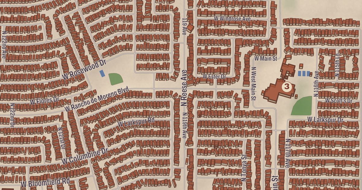
El Mirage began with farm workers on the west bank of the Agua Fria River, and the city still lies along it. Dysart High School, El Mirage Elementary School, the Northwest Valley Family YMCA, Basin Park, Gateway Park and the El Mirage Library are printed on this map, along with the Agua Fria River, Lower El Mirage Wash and North Fork Lower El Mirage Wash.
El Mirage is a city in the northwest part of the Phoenix area in Maricopa County, along the Agua Fria River and U.S. Route 60.
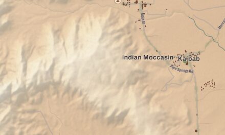
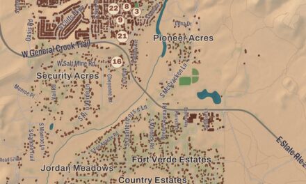
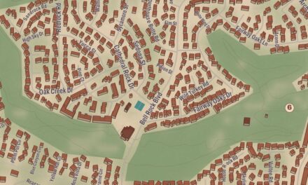
KNOWOL made this map in 2026 and gave it the look of an old atlas. The shaded relief of the landscape comes from United States Geological Survey elevation data, and the streets were drawn from Census Bureau files. The city covers 9.95 square miles, bordered by Youngtown to the east, Glendale to the south, Surprise to the northwest and Sun City to the northeast, and downtown Phoenix is 19 miles to the southeast on U.S. 60. El Mirage had 35,805 people at the 2020 census, up from 31,797 in 2010.
Canal builders and farm workers
The Hohokam were the first people known to live where El Mirage is now. They built a great network of irrigation canals with stone tools and organized labor, and they were commonly known as the Canal Builders. Much later, in the early 1930s, migrant farm workers settled here on the west bank of the Agua Fria. Mexican migrants came to help dig the canals and bring in the first crops. El Mirage incorporated as a town on June 25, 1951, and voted in a special election in 1983 to become a city. Farming is still central to its economy, and over the past few decades it has added a good deal of industry too.
The Agua Fria River, whose Spanish name means “cold water,” is an intermittent stream about 120 miles long. It rises northeast of Prescott, runs through the Agua Fria National Monument and a small canyon called Black Canyon into Lake Pleasant, and joins the Gila River about a mile south of Goodyear. It reaches the Gila only in rainy weather, when water is flowing.
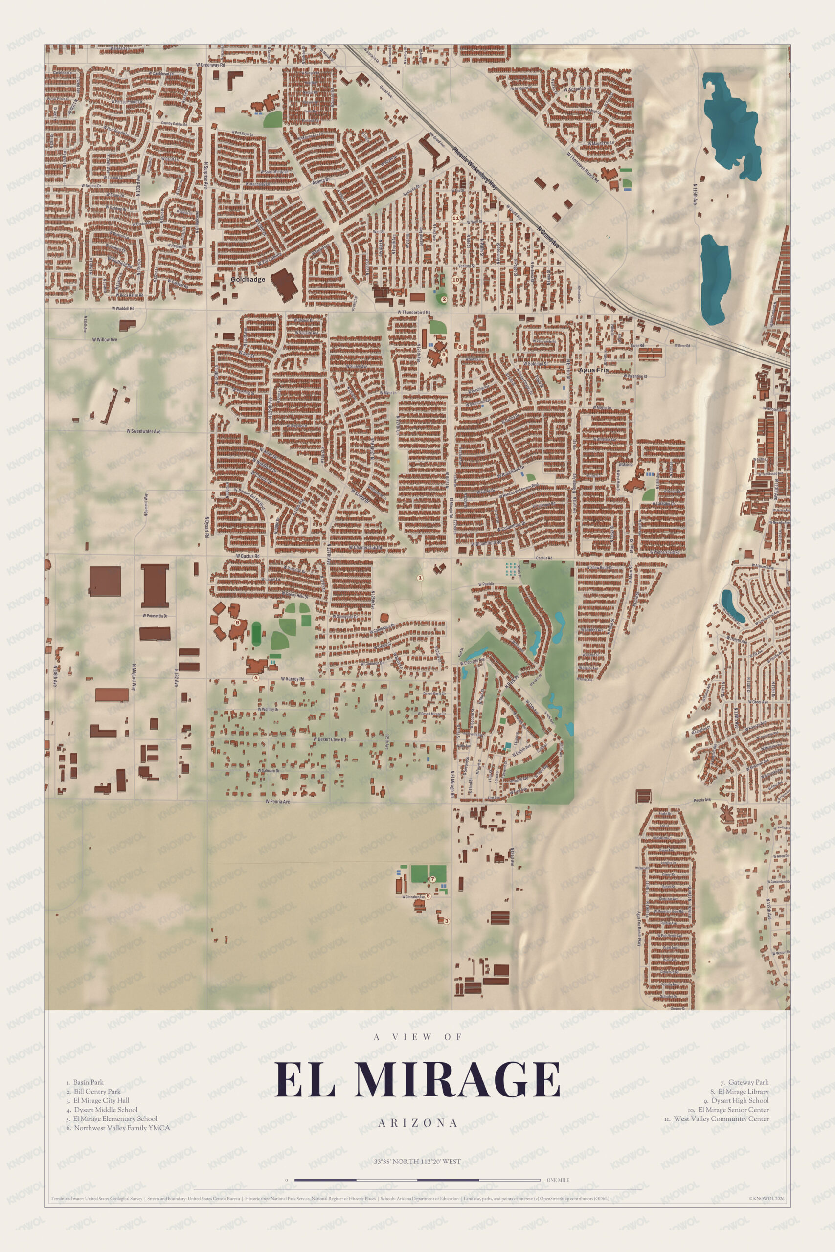
Click to explore a larger preview. The digital watermark does not appear on printed maps.
Schools and parks
About 5,500 El Mirage students, from preschool through 12th grade, attend the Dysart Unified School District. El Mirage Elementary opened in 1958, and Dysart High School opened in 1963. Dysart High is the only high school for grades nine through twelve in the city, with 1,467 students in the 2021 to 2022 school year. It reports a graduation rate of 97 percent and awards more than $700,000 in scholarships every year.
Basin Park, Gateway Park, the El Mirage Library and the Northwest Valley Family YMCA are all part of the city on the sheet. The river and the two washes give the land its lines, and the map’s reach runs from Agua Fria out to the Pueblo El Mirage RV & Golf Resort.
This El Mirage map is a good addition to an office, library or den, and it can help teach children the geography and history of the area. It’s made for anyone who calls El Mirage home, and KNOWOL created it in 2026 to show the city as it looks today. Zoom in on the preview above to explore the details, then click here to get your copy of the El Mirage map.

Sources