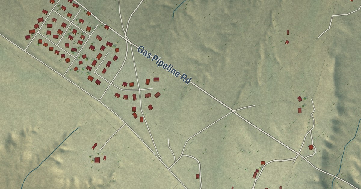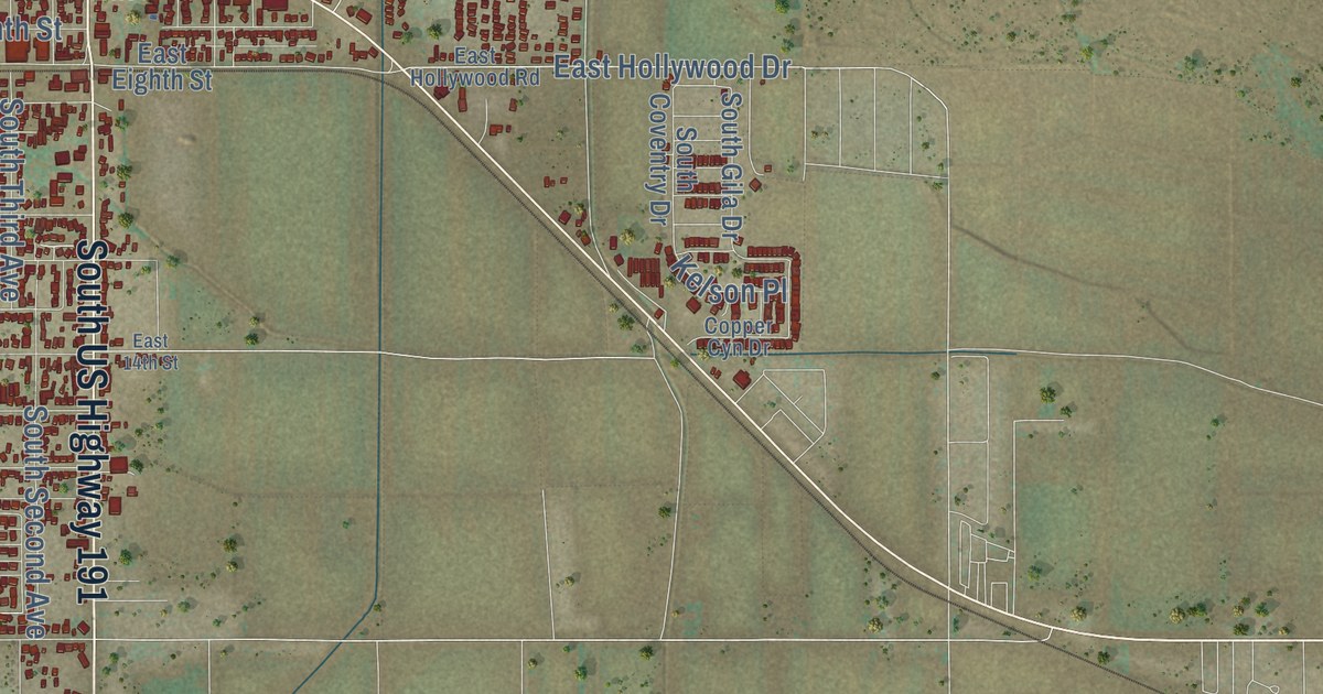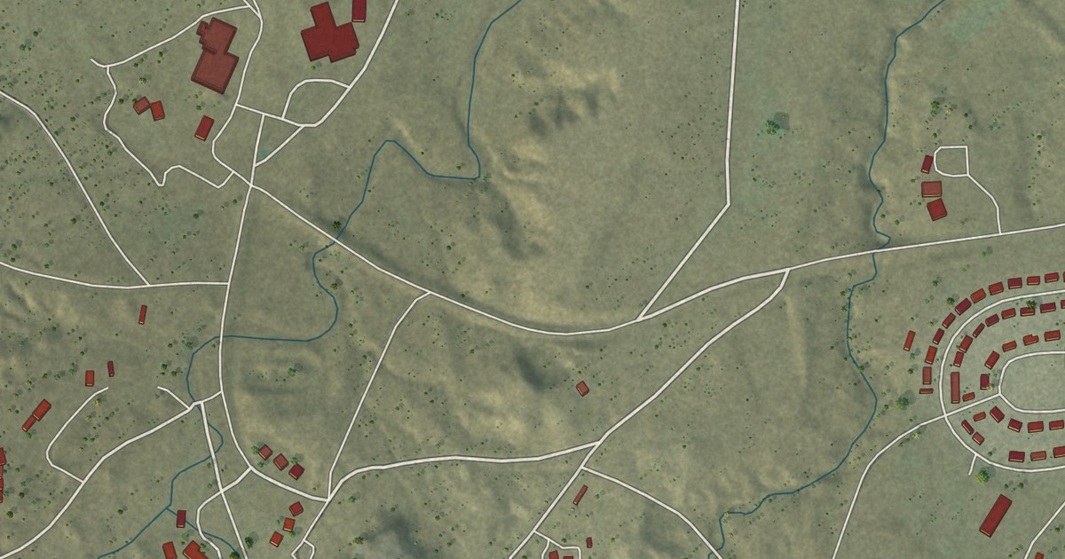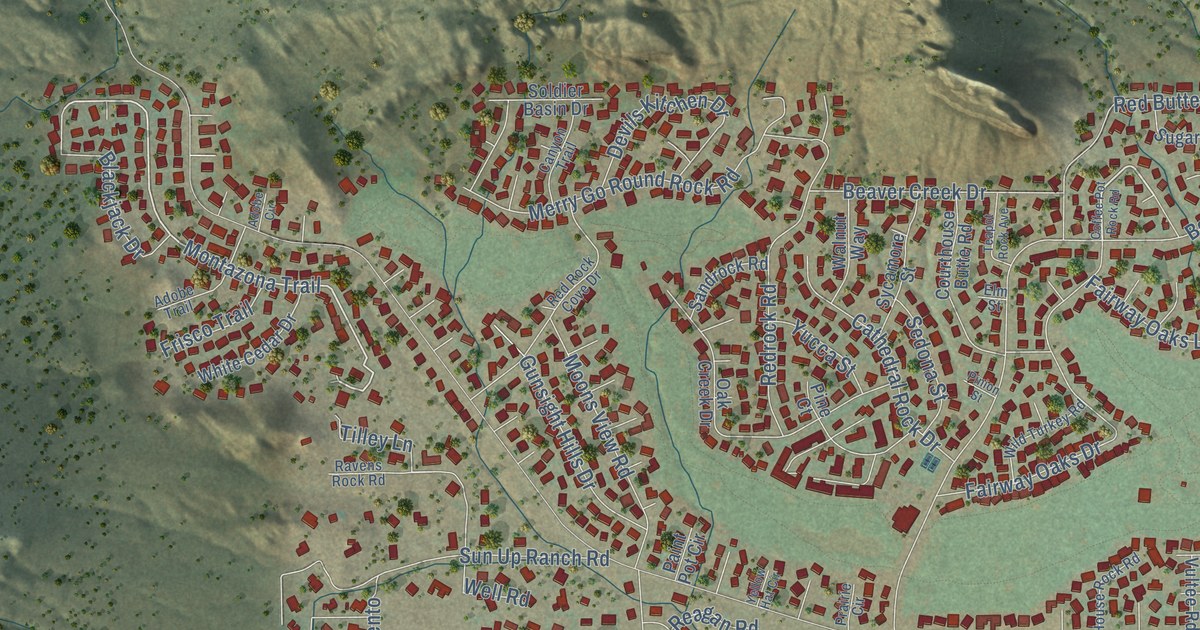
This beautifully detailed map of Village of Oak Creek, Arizona was created in 2026 using aerial imagery combined with modern topographical, census, street and landmark data. It’s a one-of-a-kind view of the Village of Oak Creek that combines accurate data with a vintage aesthetic. The map shows every building in its true location, many of the roads carry their names, and the shaded topographic relief shows the shape of the land.
See the Village of Oak Creek, Arizona map on a wall
The Oak Creek map as an 18 x 24 inch print in a black frame.

Explore an aerial view of Village of Oak Creek, Arizona
On the map you’ll find Big Park and Oak Creek, along with Bell Rock Boulevard, Horse Ranch Road, Montazona Trail, Raintrail Road, Ridgecrest Drive, Jacks Canyon Road, East Saddlehorn Road, Indian Ruin Road, Crown Ridge Road, Lee Mountain Road, and more. If you look closely you can even find your house accurately drawn in its correct location. Zoom in on the preview to look for yours.
Take a closer look at the Village of Oak Creek map
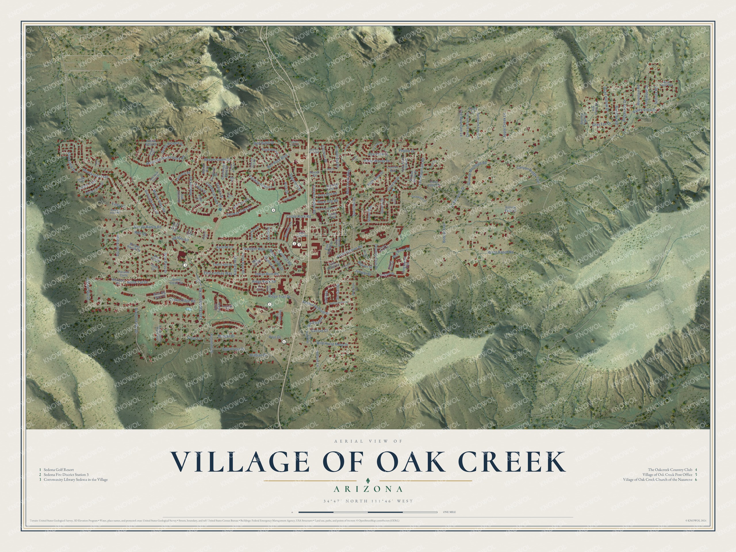
Click to explore a larger preview. The digital watermark does not appear on printed maps.
Street and place names on the Village of Oak Creek, Arizona map
These names are printed on the map of Village of Oak Creek, Arizona.
Places: Big Park and Oak Creek.
Streets and roads: Bell Rock Boulevard, Horse Ranch Road, Montazona Trail, Raintrail Road, Ridgecrest Drive, Jacks Canyon Road, East Saddlehorn Road, Indian Ruin Road, Crown Ridge Road, Lee Mountain Road, Concho Drive, Deer Pass Drive.
More street names, A to Z
Adobe Circle, Adobe Trail, Alta Vista Drive, Apache Drive, Apache Lane, Appaloosa Drive, Apple Creek Lane, Arabian Drive, Arch Drive, Arrowhead Drive, Aspen Court, Avenue de Piedras, Beaver Creek Drive, Beaver Street, Bell Creek Way, Bent Tree Drive, Blackjack Drive, Bobcat Trail, Brenda Lane, Broken Arrow Drive, Broken Lance Way, Canyon Circle Drive, Canyon Diablo Road, Canyon Mesa Drive, Canyon Ridge Trail, Canyon Trail, Casa de Corte Via, Casitas Court, Castle Rock Road, Cathedral Rock Drive, Chaparral Drive, Clearwater Cr, Cochise Drive, Coffee Pot Rock Road, Colinas, Concho Circle, Concho Way, Copper Springs Drive, Country Club Drive, Courthouse Butte Road, Creek Rock Road, Crystal Sky Drive, Devils Kitchen Drive, Diamond Sky Drive, Dickison Drive, East Bell Rock Boulevard, East Cortez Drive, Eastern Vista Drive South, East Lindsay Way, East Tonto Drive, Elm Street, Evening Glow Place, Fairway Oaks Drive, Fairway Oaks Lane, Fox Trail Lp, Frisco Trail, Granite Mountain Road, Gray Fox Drive, Gunsight Hills Drive, Heritage Circle, High View Drive, Horse Canyon Drive, House Rock Road, Hutson Lane, Ironwood Street, Juniper Street, Kaibab Way, La Barranca Drive, Las Ramblas, Lee Mountain Lane, Longwood Drive, Lookout Drive, Merry Go Round Rock Road, Moons View Road, Morgan Drive, Morgan Ranch Road, Morningside Drive, Mountain Road, Navajo Road, Oak Creek Drive, Ocotillo Street, Paint Pot Circle, Palomino Drive, Palo Verde Circle, Paraiso Corte, Pebble Drive, Piedras del Norte, Pine Court, Pinion Street, Pinon Valley Drive, Pinon Woods Drive, Pinto Lane, Ponderosa Road, Prairie Circle, Quail Circle, Quail Hollow Drive, Quartz Drive, Raintree Road, Ravens Rock Road, Reagan Road, Red Butte Drive, Red Fox Lane, Red River Road, Red Rock Cove Drive, Redrock Road, Ridge Rock Road, Ridge Trail Drive, Ridge View Drive, Rimrock Ride, Rim Trail Circle, Rio Sinagua, Rio Verde Circle, Roca Roja Road, Rock Top Road, Rojo Drive, Saddlehorn Road, Sandrock Road, Sedona Road, Sedona Street, Siesta Lane, Sin Salida, Skyline Drive, Sky Trail Drive, Soldier Basin Drive, Solo de Paeo Lane, Spotted Fawn Court, Starlight Way, Stone Creek Circle, Stone Way, Sugarloaf Road, Sugarloaf Street, Sunbeam Acres Lane, Suncliffe Drive, Sunridge Circle, Sun Up Ranch Road, Sycamore Street, Tanglewood Trail, Teapot Rock Avenue, Tilley Lane, Valley Trail, Valley Vista Drive, Via del Viento, Vultee Road, Walnut Way, Well Road, West Big Horn Court, West Cortez Drive, White Cedar Drive, White Horse Way, White Tail Drive, Whitetail Drive, Wild Flower Circle, Wild Horse Mesa Drive, Wild Turkey Road, Yellow Hat Circle, Yucca Street.
This beautifully detailed map of the Village of Oak Creek makes an attractive addition to your office, library, or den, and it can even be used to teach children the geography and history of the area. It also makes a great gift for anyone who grew up in the Village of Oak Creek or moved away. When you’re done exploring, click here to get your copy of the Village of Oak Creek map.