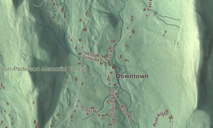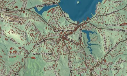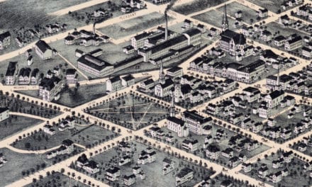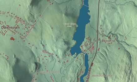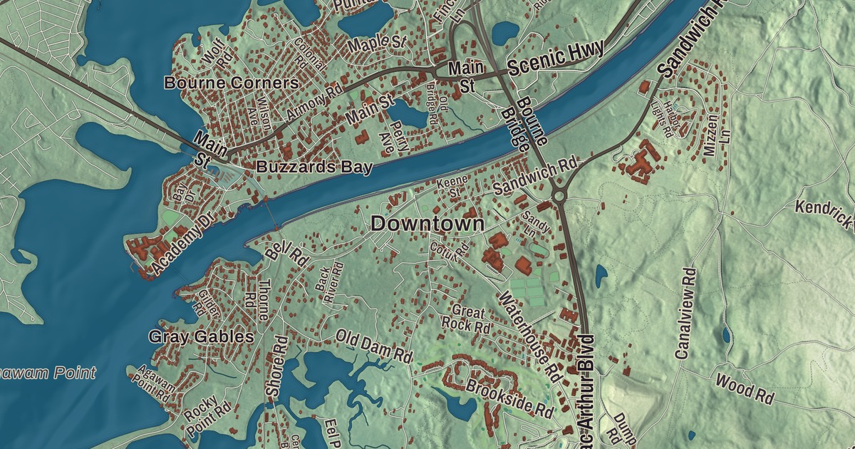
Everybody headed for Cape Cod crosses Bourne, but the people who live here know it from Scenic Highway and Sandwich Road along the canal, Head of the Bay Road, Waterhouse Road, Mac Arthur Boulevard and Scusset Beach Road. This map prints all six, with Sagamore Highlands, Sagamore Beach, Great Herring Pond, White Island Pond, Bartlett Pond, Beaver Dam Pond and Amrita Island. Click here to purchase a print of this map for your wall.
Bourne is in Barnstable County, at the western end of Cape Cod, about 55 miles south-southeast of Boston.
KNOWOL made this map in 2026 from public survey data and gave it the look of an old atlas. United States Geological Survey elevation data shapes the land, and the Census Bureau supplies the roads and the town line. Bourne covers 52.9 square miles, nearly a quarter of it water, with necks such as Wings Neck and Scraggy Neck reaching into Buzzards Bay, and Buttermilk Bay along the Wareham line. Its border with Plymouth and Wareham is the only land border Barnstable County has with another county. The town had 20,452 people at the 2020 census.
Aptucxet
In 1627 the Pilgrims of Plymouth Colony set up a trading post at Aptucxet, on the Manomet River about 20 miles south of Plymouth, to trade with the Wampanoag and with the Dutch of New Amsterdam. Aptucxet is a Wampanoag word for “little trap in the river,” possibly a fishing weir. It was Plymouth’s first trading post and its first permanent settlement on Cape Cod, and the trade helped the Pilgrims pay off their debt to England; the town page calls it the nation’s oldest store. The post was abandoned by the 1650s. The Bourne Historical Society bought the land in 1922, and the replica that stands today went up on the old foundations in 1930; it’s now the Aptucxet Trading Post Museum, with a replica saltworks and a windmill. The Bourne Stone came to the trading post site around 1930, a 300-pound block of granite with two lines of carvings whose origin hasn’t been settled. In 2016 one archaeologist called it potentially one of the most important late Prehistoric to Contact Period artifacts ever found in New England, made by the Native people of the Manomet and Herring Pond community.
The Town of Bourne’s recorded history, in the Secretary of the Commonwealth’s list, dates European settlement to 1640, when Ezra Perry settled here as part of Sandwich. The area was known as West Sandwich until it split off. Bourne was incorporated as a town in 1884, the last town incorporated in Barnstable County, and it was named for Jonathan Bourne Sr., whose ancestor Richard Bourne represented Sandwich in the first Massachusetts General Court and was the first preacher to the Mashpee Wampanoag. The town remains part of Barnstable County today.
The canal and its bridges
Myles Standish first thought about a canal here in 1623, and the Pilgrims scouted the low ground between the Manomet and Scusset rivers. George Washington ordered a survey in 1776, and plans came and went for more than a century. August Belmont Jr.’s company finally began digging in 1909, and the canal opened in 1914 as a narrow private toll route. The federal government bought it in 1928, and between 1935 and 1940 widened it to 480 feet, making it the widest sea-level canal of its time. Today the Cape Cod Canal runs about 7.4 miles from Cape Cod Bay to Buzzards Bay, mostly in Bourne, and saves ships up to 135 miles around the Cape.
Because the canal cuts through it, the town page says, Bourne is now considered the “first” town on the Cape: all three bridges are here. The Bourne Bridge and the Sagamore Bridge opened on June 22, 1935, each with a 616-foot main span, and the Bourne Bridge won the “Most Beautiful Steel Bridge” award in 1934. The Cape Cod Canal Railroad Bridge, which opened that December, was the longest vertical lift span in the world when it was finished. Buzzards Bay, Sagamore Beach and Bournedale are the town’s three villages on the mainland side.
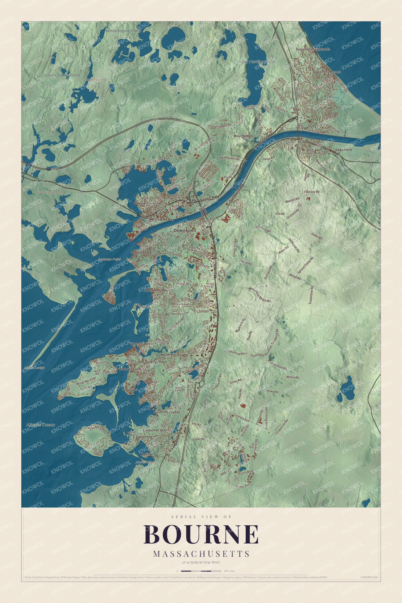
Click to explore a larger preview. The digital watermark does not appear on printed maps.
Names on this map
These names are printed on this map.
Places: Downtown, Sagamore Highlands, Sagamore Beach, Abiels Ledge, Agawam Point, Amrita Island, Bartlett Pond, Beaver Dam Pond, Great Herring Pond, White Island Pond, Glen Charlie Pond, Atlantic Ocean, Amrita, Barlows Landing, Bourne Corners, Bournedale, Buzzards Bay, Cataumet, Cataumet Station, Gray Gables, Monument Beach, North Pocasset, Patuisset, Pocasset, Pocasset Station, Sagamore, South Pocasset and Tahanto Beach.
Streets and roads: Scenic Highway, Sandwich Road, Mac Arthur Boulevard, Head of the Bay Road, Waterhouse Road, Scusset Beach Road, Scraggy Neck Road, Canal Street, State Road, Gibbs Road, Old Plymouth Road, Chenault Road.
More street names, A to Z
Abby Road, Academy Drive, Adams Street, Agawam Point Road, Armory Road, Avery Road, Back River Road, Bay Drive, Bayview Road, Bell Buoy Road, Bell Road, Bennets Neck Drive, Bennington Boulevard, Black Pond Road, Bluff Road, Bourne Bridge, Bournedale Road, Brookside Road, Brooks Road, Canal Road, Canalview Road, Cat Road, Central Boulevard, Chart Well Drive, Church Lane, Circuit Avenue, Clarisa Joseph Road, Clark Road, Clay Pond Road, Cliff Road, Club House Drive, Cole Road, Colonial Road, Connery Avenue, Cotuit Road, County Road, Curtis Boulevard, Depot Road, Deseret Drive, Diandy Road, Dump Road, East Hospital Road, Eel Pond Road, Elgin Road, Emmons Road, Ernest Valeri Road, Estey Road, Fieldwood Drive, Fifth Avenue, Finch Lane, Flatrock Road, Forestdale-Pocasset-Sandwich Road, Forestdale Road, Frank Perkins Road, Fredrikson Road, Gibson Street, Gilder Road, Great Rock Road, Gull Lane, Harbor Drive, Harbor Hill Drive, Harbor Lights Road, Harwood Drive, Heather Hill Road, Herring Pond Road, Hersey Lane, High Ridge Drive, Homestead Road, Howard Avenue, Howe Road, Hunter Avenue, Island Drive, Jarvis Road, Jefferson Road, Keene Street, Kelly Street, Kendrick Road, Kenwood Road, Lake Drive, Laura Lane, Lee Road, Lemay Avenue, Lewis Point Road, Little Bay Lane, Little Sandy Pond Road, Long Hill Road, Lovell Road, Main Street, Maple Street, Mashnee Road, Maston Road, Mc Kenna Road, Mid-Cape Con, Middle Road, Mirasol Drive, Mitton Road, Mizzen Lane, Monument Beach Road, Norris Road, North Road, Oakdale Valley Road, Oak Street, Ocean Avenue, Ocean Pines Drive, Old Bridge Road, Old Dam Road, Old North Road, Orchard Road, Osborne Pond Road, Otis Park Drive, Pasture Road, Perry Avenue, Pew Road, Phillips Road, Pine Ridge Road, Plymouth Lane, Pryer Drive, Puritan Road, Red Brook Harbor Road, Rice Avenue, Rocky Point Road, Sachem Drive, Sagamore Road, Sandy Lane, Sanford Street, Savary Avenue, Seal Lane, Shaker Drive, Shipyard Lane, Shore Road, Snake Pond Road, South Road, Spinnaker Drive, Spruce Camp Road, Standish Road, Striper Lane, Tahanto Road, Tara Terrace, Thorne Road, Turpentine Road, Underhill Street, Valley Bars Road, Valley Farm Road, Van Circle, Wayne Road, West Hospital Road, Wheelock Road, Whimbrel Drive, White Street, Williams Avenue, Williston Road, Wilson Avenue, Wing Road, Wings Neck Road, Winsor Road, Winston Avenue, Wolf Road, Wood Road, Wright Street, Wyman Avenue, Yearling Run Road.
See it on a wall
The Bourne map as a framed print. Swipe for more.


A president’s summers
President Grover Cleveland bought a house on Buzzards Bay in 1890 and renamed it Gray Gables. It served as his Summer White House from 1893 to 1896, with its own little railroad station and a telegraph line to Washington, and two of his children were born there. The house later became a hotel and burned in 1973; its station building now stands at the Aptucxet museum. The Massachusetts Maritime Academy, founded in 1891 and the second oldest state maritime academy in the country, moved to Buzzards Bay in 1949, by the canal’s southern mouth.
Around the map
Start in Sagamore Highlands, then follow Scenic Highway, Sandwich Road, Mac Arthur Boulevard, Head of the Bay Road, Waterhouse Road and Scusset Beach Road across town, and look outward toward Sagamore Beach, Amrita, Barlows Landing, Bourne Corners and Bournedale. Along Scenic Highway, the Corps of Engineers staffs a second visitor center in season at the Herring Run, and the Bournedale Hills Trail follows the canal’s north side for 1.4 miles. Sagamore Beach grew after 1905, when the Christian Endeavor Society started a summer colony whose Victorian houses still line the bluffs. Great Herring Pond lies mostly in neighboring Plymouth, with its southern part in Bourne, and its outflow feeds the Herring River. Scusset Beach is in neighboring Sandwich, at the canal’s north entrance. Amrita Island, in Squeteague Harbor at Cataumet, was bought in 1893 by Thomas and Esther Baxendale of Brockton, who built a mansion called Island Haven and four more houses there and hosted lectures on animal welfare. After Esther died in 1927, the island went to Harvard, which gave it to the Animal Rescue League of Boston. Bartlett Pond, Beaver Dam Pond, Great Herring Pond, White Island Pond and Amrita Island are all printed on the map.
Bourne’s map makes a fine addition to an office, library or den, and it can help teach children the geography and history of the town the Cape Cod Canal runs through. It’s made for people who call Bourne home, from Sagamore Beach to Barlows Landing, and it shows the town as it looks today. Zoom in on the preview above to explore the details, then click here to get your copy of the Bourne, Massachusetts map.

Sources
- Bourne, Massachusetts, Wikipedia
- Aptucxet Trading Post Museum, Wikipedia
- Bourne Stone, Wikipedia
- Cape Cod Canal, Wikipedia
- Bourne Bridge, Wikipedia
- Sagamore Bridge, Wikipedia
- Cape Cod Canal Railroad Bridge, Wikipedia
- Gray Gables, Wikipedia
- Massachusetts Maritime Academy, Wikipedia
- Sagamore Beach, Massachusetts, Wikipedia
- Great Herring Pond, Wikipedia
- Scusset Beach State Reservation, Wikipedia
- Amrita Island, Wikipedia
- City and Town Incorporation and Settlement Dates, Secretary of the Commonwealth of Massachusetts (archived copy)