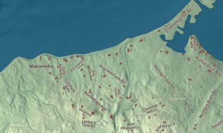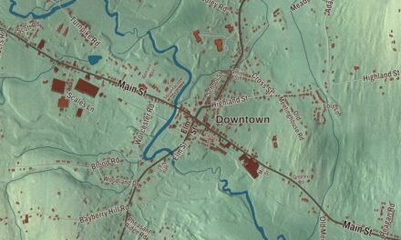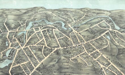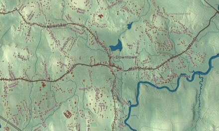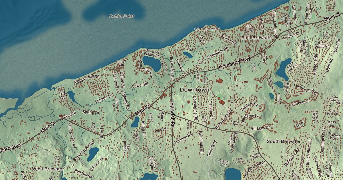
In Brewster, Main Street is the old King’s Highway, and the town is known as the Sea Captain’s Town for its old captains’ houses. This map prints Main Street, Harwich Road, South Orleans Road, Cranberry Highway, Long Pond Road and Gulls Way, with Long Pond, Aunt Pattys Pond, Aunt Edies Pond and Mill Hill. Click here to purchase a print of this map for your wall.
Brewster is in Barnstable County, on Cape Cod Bay, 85 miles southeast of Boston.
KNOWOL made this map in 2026 from public survey data and gave it the look of an old atlas. United States Geological Survey elevation data shapes the land, and the Census Bureau supplies the roads and the town line. Brewster covers 25.4 square miles between Cape Cod Bay to the north, Dennis to the west, Harwich to the south and Orleans to the east, with the wide tidal sand of the Brewster Flats along its shore and several large ponds near the Harwich line. It had 10,318 people at the 2020 census, and in summer the town grows to about 30,000.
Sauguatuckett and Harwich
The Sauguatuckett people farmed along Stony Brook on the north shore, and in 1653 the land that is now Brewster was bought from their leaders, Wano and his son Sachemas. The first English settlement grew up around Stony Brook too. The Town of Brewster’s recorded history, in the Secretary of the Commonwealth’s list, dates European settlement to 1656, when Brewster became the northeastern parish of Harwich. Even at the turn of the 18th century there were only seventeen known male settlers here; a church and meeting house were organized in 1700, and by 1709 there was a public house and a store.
The town’s institutions, the town hall and the churches among them, all ended up on Brewster’s Main Street, and the less wealthy people of Harwich resented it. So the parish was split off, and Brewster was incorporated as a town in 1803, named for Elder William Brewster, the first religious leader of the Pilgrims at Plymouth. The town remains part of Barnstable County today.
The Sea Captain’s Town
In the 1800s about three of every four people in town worked in shipping and the sea trades. Brewster captains put an estimated $250,000 into merchant ships, and a large saltworks stood on the Cape Cod Bay shore. The town farmed too: in 1865 it had 56 farms, more than any Lower Cape town but Orleans, and the third most cranberry bogs on the Cape. The captains and merchants built Italianate, Greek Revival and Second Empire houses, and the Cobb House of 1799 is now home to the Brewster Historical Society. The grandest of the period is Albert Crosby’s mansion of 1888, on Crosby Lane.
The Brewster Old King’s Highway Historic District follows Route 6A for almost three miles. The center grew up where the highway meets Harwich Road, now Route 124; the first church was built there in 1700, and today’s Greek Revival church dates from 1834, with a burying ground from 1707 nearby. Along the highway stand the Queen Anne Old Town Hall of 1881 and the Brewster Ladies’ Library of 1868, the first building on Cape Cod built to be a library.
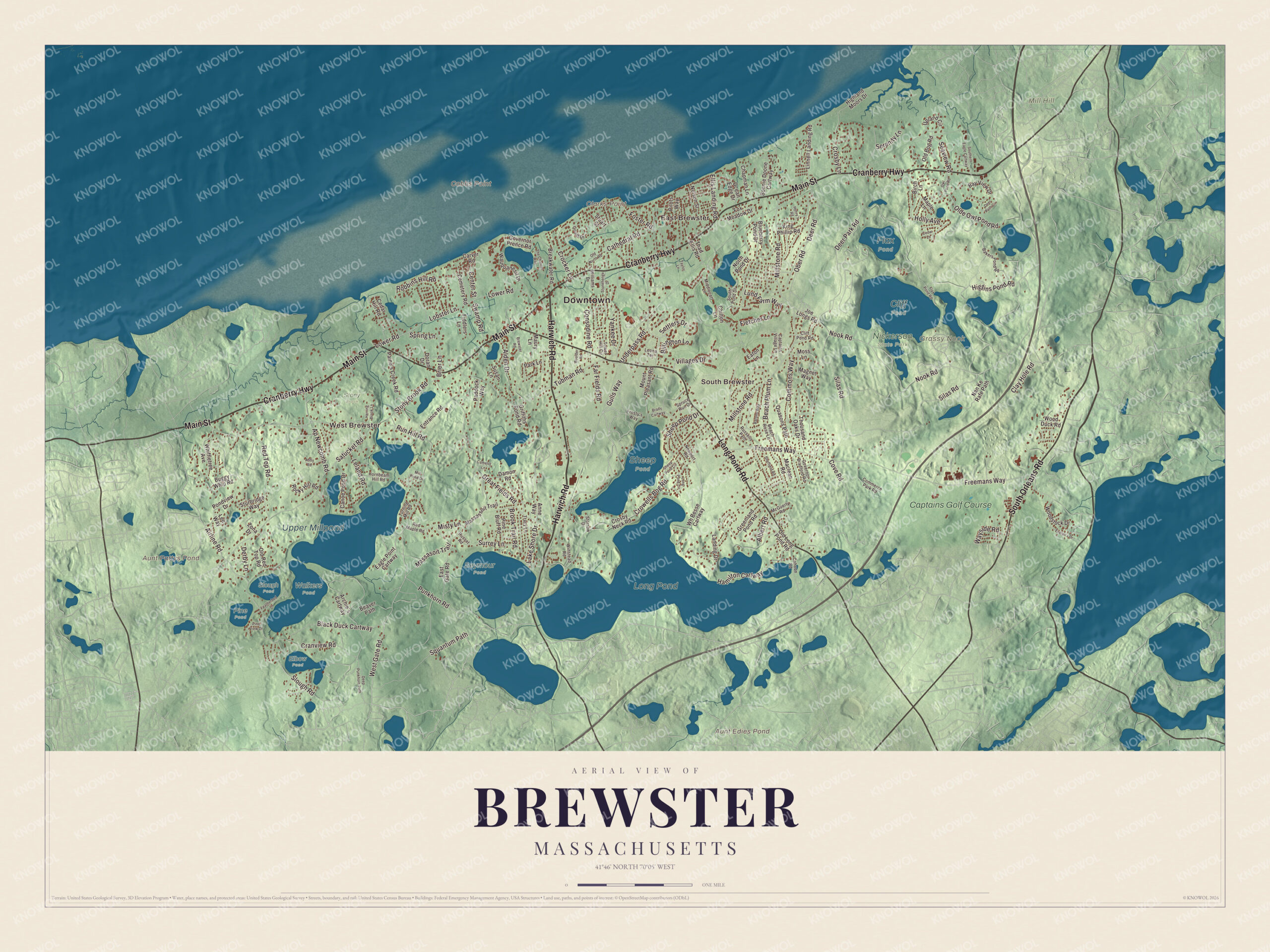
Click to explore a larger preview. The digital watermark does not appear on printed maps.
Names on this map
These names are printed on this map.
Places: Downtown, West Brewster, East Brewster, South Brewster, Clarks Point, Cobbs Point, Grassy Nook, Mill Hill, Aunt Edies Pond, Aunt Pattys Pond, Long Pond, Upper Millpond, Cliff Pond, Elbow Pond, Flax Pond, Nickerson State Park, Pine Pond, Seymour Pond, Sheep Pond, Slough Pond, Stony Brook, Walkers Pond and Captains Golf Course.
Streets and roads: Harwich Road, South Orleans Road, Cranberry Highway, Main Street, Long Pond Road, Gulls Way, West Gate Road, Airline Road, Punkhorn Road, Slough Road, Massasoit Trail, Freemans Way.
More street names, A to Z
Abby Road, Albert Road, Alden Drive, Anne Way, Ap Newcomb Road, Archie's Cartway, Bakers Pond Road, Barons Way, Bay View Drive, Beach Plum Lane, Beach Rose Lane, Beaver Path, Billington Lane, Birch Lane, Black Duck Cartway, Blueberry Pond Drive, Bonnie Doone Cartway, Boulder Road, Brady Cartway, Breakwater Road, Brewster Road, Brier Lane, Brook Trail Road, Buggy Whip Road, Cahoon Road, Camelot Lane, Canoe Pond Drive, Captains Village Lane, Carver Road, Cathedral Road, Cedar Hill Road, Cedar Lane, Cemetery Road, Center Street, Chapman Lane, Chilton Lane, Clay Hole Road, Cliff Pond Road, Commerce Park Road, Commons Way, Consodine Road, Cove Road, Cranview Road, Crocker Lane, Crosby Lane, Crosby Neck Road, Crowells Bog Road, Damon Road, Deep Punkhorn Path, Deer Park Road, Deer Path Circle, Deer Road, Derby Lane, Doran Drive, Eagle Point Cartway, East Gate Road, Eaton Lane, Ellis Landing Road, Entrance Road, Evelyn's Drive, Far Fields Road, Featherbed Lane, Fiddlers Lane, Flax Pond Road, Fletcher Lane, Foster Road, Fox Meadow Drive, Frosty's Way, Gould Drive, Governor Bradford Road, Governor Prence Road, Great Fields Road, Greenland Pond Road, Griffiths Pond Road, Hamilton Cartway, Henry's Road, Herring Brook Lane, Higgins Pond Road, Highland Moors Drive, Holly Avenue, Hornbeam Hill Road, Joe Longs Road, King Phillip Road, Lake Shore Drive, Landing Drive, Lee Way, Leland Road, Leona Terrace, Linnell Landing Road, Lobster Lane, Long Pond Circle, Lower Road, Lund Farm Way, Maclean Road, Magnet Way, Maple Lane, Massassoit Trail, Maury Lane, McGuerty Road, Middlecott Lane, Mill Pond Drive, Millstone Road, Misty Lane, Moss Lane, Mount Pleasant Road, Nan Ke Rafe Path, Nelson Street, Newport Road, Nook Road, North Pond Drive, Ober Road, Ocean Edge Drive, Old Bog Road, Olde Owl Pond Road, Old Long Pond Road, Old North Road, Old Red Top Road, Owl Pond Road, Paddock Way, Paine's Creek Road, Park Lane, Pilots Way, Pine Bluff Road, Pine View Drive, Pondview Drive, Quasons Path, Red Maple Road, Red Top Road, Robbins Hill Road, Rocky Hill Road, Run Hill Road, Russells Path, Russet Road, Satucket Road, Seaview Road, Serenity Lane, Settlers Drive, Sheep Pond Circle, Sheep Pond Drive, Sheffield Road, Silas Road, Southern Eagle Cartway, South Pond Drive, Spring Lane, Spruce Run Drive, Squantum Path, Stonehenge Drive, Stony Brook Road, Storrow Drive, Stuart Street, Sturbridge Way, Surrey Lane, Susan Lane, Swamp Road, Taylor Lane, Thad Ellis Road, The Channel Way, Thousand Oaks Drive, Tower Hill Circle, Tracy Lane, Tubman Road, Turning Mill Road, Underpass Road, Upland Circle, Villages Drive, Wauquanesit Drive, Wayside Road, Wh Besse Cartway, Whiffletree Avenue, Williams Drive, Winstead Road, Wood Duck Road, Woodstock Drive, Yankee Drive, Zona Drive.
See it on a wall
The Brewster map as a framed print. Swipe for more.


Stony Brook and Nickerson
West of the center, Stony Brook runs north into Cape Cod Bay, and people used its power from the 17th century into the late 19th. The Stony Brook-Factory Village Historic District, 85 acres around Satucket Road and Stony Brook Road, keeps the sites of three mills with their dams, raceways and mill pond, and is one of the largest and best-preserved industrial villages in Barnstable County. Herring still run up the brook each spring past the Cape Cod Museum of Natural History, whose trails cross pine woods, salt marsh and a barrier beach.
Nickerson State Park covers more than 1,900 acres of pine and kettle ponds, Cliff Pond the largest. The land belonged to Samuel Mayo Nickerson, a native of the area who made his fortune in Chicago, and in 1890 he built Fieldstone Hall overlooking the bay for his son Roland. It burned in 1906, and the larger mansion built on the site is now part of the Ocean Edge resort. In 1934 Roland’s widow, Addie Nickerson, gave the land south of Route 6A to the state, and it became the Commonwealth’s first state park, named for her husband and son. Its bike trails connect to the Cape Cod Rail Trail.
Around the map
Start in West Brewster, then follow Harwich Road, South Orleans Road, Cranberry Highway, Main Street, Long Pond Road and Gulls Way across town, and look outward toward East Brewster and South Brewster. Long Pond, on the town page’s word the largest pond on Cape Cod, has the Brewster-Harwich line running right through its middle. Aunt Pattys Pond, Long Pond, Mill Hill and Aunt Edies Pond are all printed on the map.
Brewster’s map makes a fine addition to an office, library or den, and it can help teach children the geography and history of the Sea Captain’s Town. It’s made for people who call Brewster home, from West Brewster to East Brewster, and it shows the town as it looks today. Zoom in on the preview above to explore the details, then click here to get your copy of the Brewster, Massachusetts map.

Sources
- Brewster, Massachusetts, Wikipedia
- Brewster Old King’s Highway Historic District, Wikipedia
- Stony Brook-Factory Village Historic District, Wikipedia
- Cape Cod Museum of Natural History, Wikipedia
- Nickerson State Park, Wikipedia
- City and Town Incorporation and Settlement Dates, Secretary of the Commonwealth of Massachusetts (archived copy)