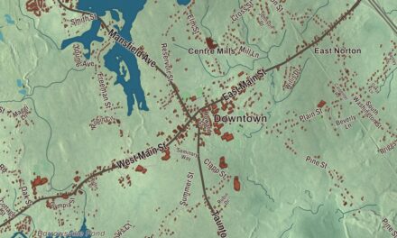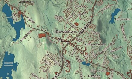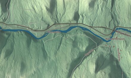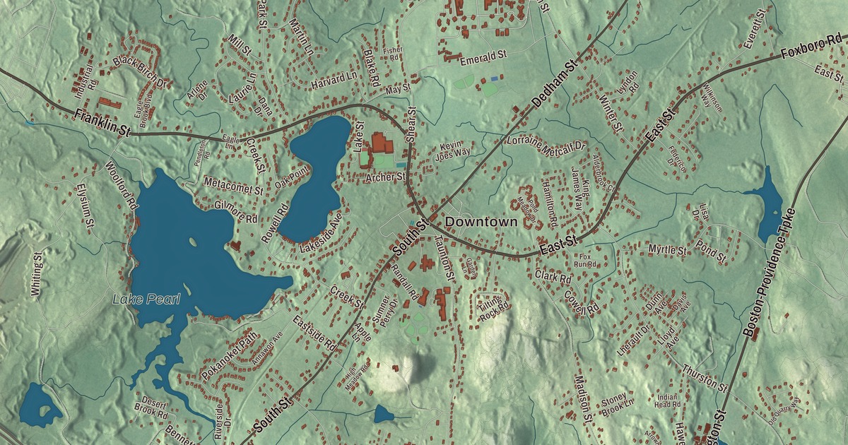
This aerial map of Wrentham, Massachusetts was created in 2026 using real geographic data to bring the town’s streets, buildings, neighborhoods, ponds and waterways, mountains and ridgelines, and terrain together in one highly detailed view. Look closer and you can pick out the familiar places that make Wrentham feel like home. Start with the street you know, then see how it connects to the rest of the Wrentham you call home. Click here to purchase a print of this map for your wall.
Explore an aerial view of Wrentham, Massachusetts
Start with Downtown and West Wrentham. Follow Franklin Street, East Street, Foxboro Road, West Street, Boston-Providence Turnpike, and Washington Street across town. Then look outward toward Sheldonville, Wampum Corner, and Wampum Rock.
Beaver Pond, Cargill Pond, Lake Pearl, Lake Mirimichi, Bald Hill, Bucks Hill, and Butman Hill are all labeled on the map. Every one of those names is printed directly on the artwork, giving you plenty to explore.
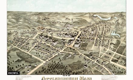
The Town of Wrentham’s recorded history dates European settlement to 1669. Wrentham was incorporated as a town in 1673. The town remains part of Norfolk County today. Click the image below to see the area as it looked in 2026.
Take a closer look at the Wrentham map
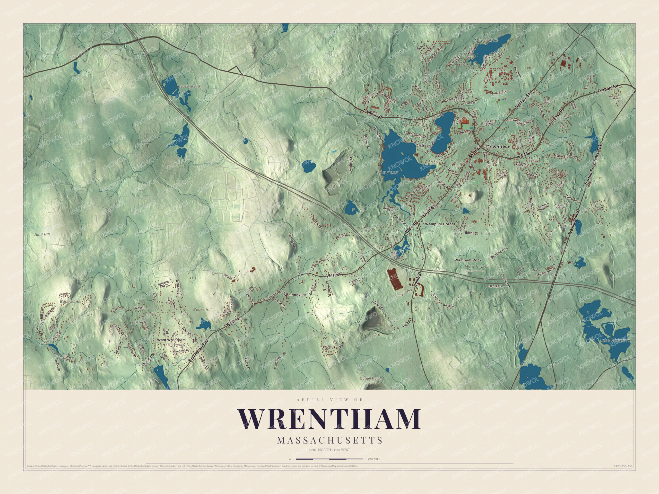
Click to explore a larger preview. The digital watermark does not appear on printed maps.
Names on this map
These names are printed on this map.
Places: Downtown, West Wrentham, Bald Hill, Bucks Hill, Butman Hill, Beaver Pond, Cargill Pond, Lake Pearl, Lake Mirimichi, Mirror Lake, Wrentham State Forest, Sheldonville, Wampum Corner and Wampum Rock.
Streets and roads: Franklin Street, East Street, Foxboro Road, West Street, Boston-Providence Turnpike, Washington Street, Cumberland Road, South Street, Dedham Street, Autumn Road, High Street, Spring Street.
More street names, A to Z
Abner Belcher Road, Acorn Road, Alderbrook Court, Amber Drive, Annawon Avenue, Apple Lane, Archer Street, Arlene Drive, Arnold Street, Arrowhead Road, Ash Street, Ballou Drive, Beach Street, Beaver Pond Trail, Benjamin Day Drive, Bennett Street, Berry Street, Black Birch Drive, Blake Road, Boyden Drive, Burnt Swamp Road, Carriage House Lane, Cherry Street, Chestnut Street, Clark Road, Comstock Drive, Cooks Circle, Cowell Road, Creek Street, Cushing Drive, Dana Drive, Davis Avenue, Desert Brook Road, Dunn Avenue, Eagle Brook Boulevard, Eagle Lane, Eastside Road, Ellery Street, Elysium Street, Emerald Street, Everett Street, Farm Hill Road, Farrington Avenue, Federico Drive, Field Circle, Fisher Road, Flannery Lane, Follett Drive, Forest Grove Avenue, Fox Run Road, Garden Lane, George Street, Gilmore Road, Gold Street, Grant Avenue, Green Street, Hales Pond Lane, Hamilton Road, Hancock Street, Harvard Lane, Hatch Road, Hawes Street, Heather Lane, Hickory Road, High Meadow Road, Holly Lane, Indian Head Road, Industrial Road, Jenks Street, Joshua Road, Kevin Joes Way, King James Way, Lakeside Avenue, Lake Street, Lantern Lane, Laurie Lane, Lealand Peck Drive, Ledgeview Way, Lherault Drive, Lisa Drive, Lloyd Avenue, Lorraine Metcalf Drive, Luke Street, Lyndon Road, Mac Dougald Drive, Madison Street, Martin Lane, May Street, Melanie Lane, Metacomet Street, Mill Street, Miscoe Brook Drive, Myrtle Street, North Street, Oak Hill Avenue, Oak Point, Old Quarry Way, Otis Street, Oxbow Drive, Park Street, Pendleton Road, Pokanoket Path, Pond Meadow Drive, Pond Street, Randall Road, Ray Road, Rebecca Road, Red Fox Trail, Rhodes Drive, Ridge Road, Riverside Drive, Rowell Road, Shear Street, Sheldon Road, Stoney Brook Lane, Summer Street, Summit Circle, Sumner Perry Drive, Taunton Street, Thurston Street, Tilting Rock Road, Tracelyn Drive, Walnut Road, Wampum Street, Warren Drive, Wesley Drive, Whiting Street, Wilkinson Way, Williams Street, Winter Street, Woolford Road.
We designed the artwork at KNOWOL using Wrentham’s real streets, buildings, neighborhoods, ponds and waterways, mountains and ridgelines, and terrain, the town boundary, and the way buildings spread across the town. Then we chose the color, relief, lettering, and layout that make the map look great on the wall.
This beautifully detailed map of Wrentham makes an attractive addition to your office, library, or den and can even be used to teach children the geography and history of the area. When you’re done exploring, click here to get your copy of the Wrentham, Massachusetts map.

We made a map for every town and city in Massachusetts. Explore the complete Massachusetts map collection and find your town.