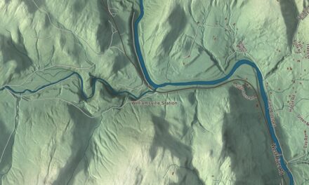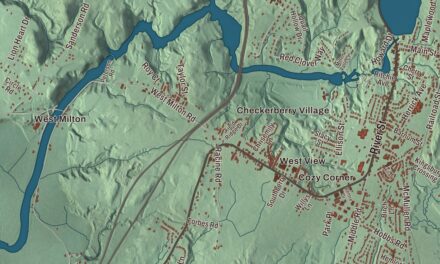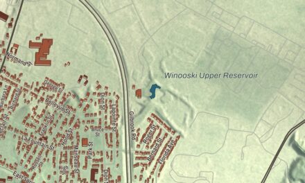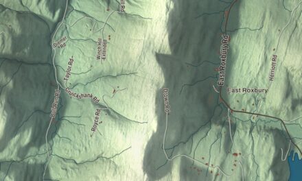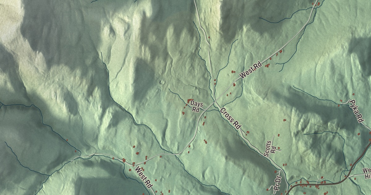
Ira is a small town with a big name behind it, and 368 people lived here at the 2020 census. This map prints the roads people in Ira know by heart: Blue Star Drive, Ira Birdseye Road, Birdeye Road, Pr Drive, West Road and Cross Road.
Ira is a town in Rutland County, Vermont.
KNOWOL made this map in 2026 from public survey data and gave it the look of an old county atlas, shading the hills from United States Geological Survey elevation data and drawing the roads and town line from the Census Bureau. The Census Bureau counts all 21.3 square miles of Ira as land. Click here to purchase a print of this map for your wall.
Named for Ira Allen
The town takes its name from Ira Allen, the younger brother of Ethan Allen and one of the Green Mountain Boys. Allen was a surveyor for the Onion River Land Company, a leader in the declaration of the Vermont Republic in 1777, and the state’s first treasurer, from 1778 to 1786. He drew the Great Seal of Vermont in 1778, and in 1780 he asked the legislature to found the University of Vermont, giving it money and a fifty-acre site at Burlington. His page says he was called the “Father of the University of Vermont.”
Ira’s own start is recorded a little out of order. The Vermont Legislature’s town list says the town organized on May 31, 1779, and that Vermont granted it in October 1780, adding that the charter probably was never issued. Isaac Clark was Ira’s first representative, in 1779.
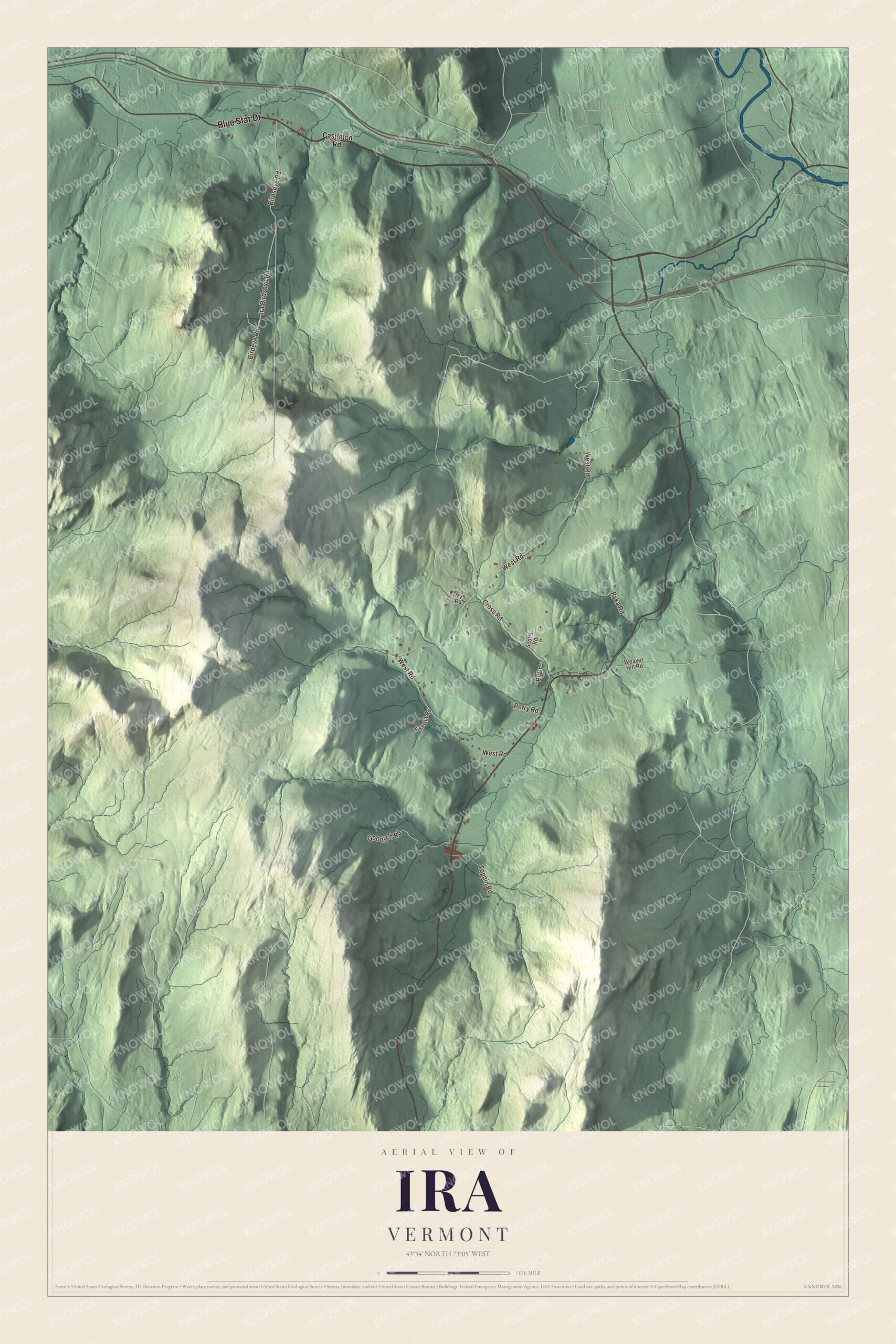
Click to explore a larger preview. The digital watermark does not appear on printed maps.
Names on this map
These names are printed on this map.
Streets and roads: Blue Star Drive, Ira Birdseye Road, Birdeye Road, Birdseye Road, Pr Drive, West Road, Cross Road, Goodrich Road, Toppin Road, Pyka Road, Perry Road, Castleton Road.
More street names, A to Z
Days Road, Fish Hill Road, Scotts Road, Weaver Hill Road.
See it on a wall
The Ira map as a framed print. Swipe for more.


Two soldiers from Ira
After the Revolution, Lemuel Roberts served as captain of the Ira militia, and the Legislature’s list shows him representing the town in 1782 and 1784. During the war he’d marched to Quebec, served as a ranger after the Battle of Bennington, and was captured on a scouting party near Saint Albans in 1778. He escaped three times before he finally reached Fort Ticonderoga that October. In 1809 he published his memoirs, which his page counts among the few first-hand accounts by soldiers of the Revolutionary War. More than a century later, Leonard F. Wing was born in Ira in 1893 and went to the town’s schools before his family moved to Rutland. A lawyer and Vermont National Guard officer, he commanded the 43rd Infantry Division in the Pacific in World War II, one of three National Guard officers to command combat divisions in that war.
On the map, follow Ira Birdseye Road and Birdeye Road, then West Road and Cross Road. Blue Star Drive and Pr Drive are printed too. Ira dates to 1780.
This map of Ira is made for everyone who calls Ira home, and it shows the town as it looks today, from Blue Star Drive to West Road. Hang it in an office, library or den, or use it to teach children the geography and history of their town. It’s printed on museum quality archival paper. Zoom in on the preview above to explore the details, then click here to get your copy of the Ira, Vermont map.

Sources