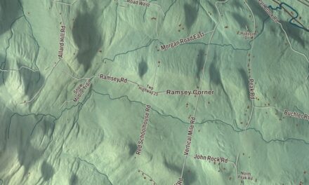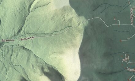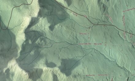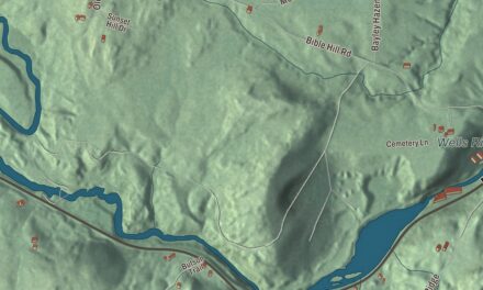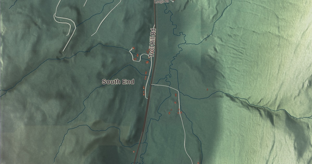
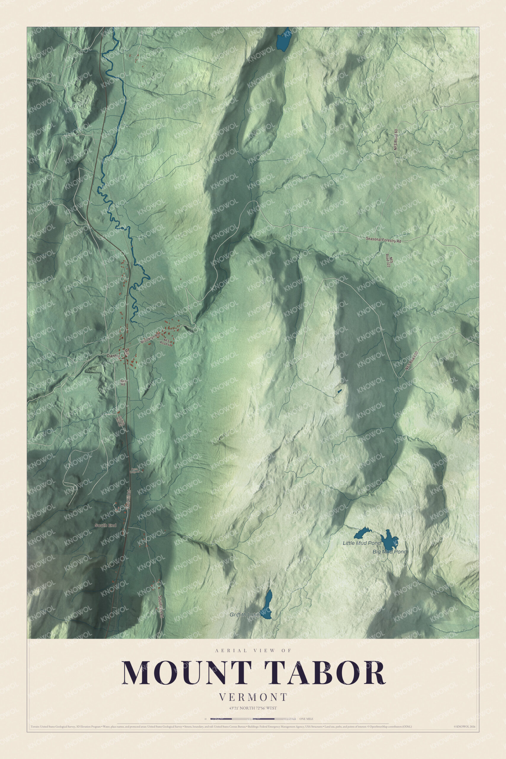
Mount Tabor climbs east from Otter Creek and U.S. Route 7 into the Green Mountain National Forest, with half of Danby village in its western part and Griffith Lake up on the Long Trail. This map prints Brooklyn Road, Seasonal Forestry Road, South End Road, Troll Hill Road, Griffith Hill Road and Bam Road, with South End, Danby, Griffith Lake, Big Mud Pond and Little Mud Pond.
Mount Tabor is a town in Rutland County, Vermont.
KNOWOL made this map in 2026 from public survey data and gave it the look of an old county atlas, shading the hills from United States Geological Survey elevation data and drawing the roads and town line from the Census Bureau. The town covers 43.8 square miles, and 210 people lived here at the 2020 census. Click here to purchase a print of this map for your wall.
Harwich becomes Mount Tabor
New Hampshire granted this town on August 28, 1761, under the name Harwich. It organized on March 13, 1788, and sent John Stafford to the legislature that year as its first representative. On November 7, 1803, it took the name Mount Tabor. Gideon Tabor held the seat in 1795, from 1798 to 1801, and every year from 1803 to 1813.
Half of the village of Danby lies in the west part of Mount Tabor, along Route 7 on the west side of Otter Creek, and the census counts the village as one place split evenly between the towns of Danby and Mount Tabor. Otter Creek is the longest river entirely inside Vermont, running about 112 miles to Lake Champlain. Danby village was settled around 1800, grew with marble quarrying from the 1840s and the arrival of the railroad in 1851, and most of its buildings stand on marble foundations. The Danby Village Historic District, listed on the National Register of Historic Places in 1983, is centered on Main Street where Mount Tabor Avenue meets it, with 83 buildings, most of them Greek Revival.
Click to explore a larger preview. The digital watermark does not appear on printed maps.
Names on this map
These names are printed on this map.
Places: South End, Big Mud Pond, Griffith Lake, Little Mud Pond and Danby.
Streets and roads: Brooklyn Road, Seasonal Forestry Road, NFS Road 60, South End Road, NFS Road 30, Troll Hill Road, Mill, NFS Road 322, Griffith Hill Road, NFS Road 48, Bam Road and Norse Lodge Road.
See it on a wall
The Mount Tabor map as a framed print. Swipe for more.


Wilderness and the Long Trail
Griffith Lake, a small lake and campsite on the Long Trail and Appalachian Trail, lies in Peru and Mount Tabor in the Green Mountain National Forest. The Green Mountain Club keeps a caretaker there in the busy season to look after the tent platforms, the lean-to and the trails. From Griffith Lake, at its eastern edge, the trail crosses the Big Branch Wilderness to Ten Kilns Brook. The wilderness was created in 1984 and enlarged in 2006, and the highest summit in that wilderness is the mountain called Mount Tabor, 3,043 feet, at its south end. Big Branch and the neighboring Peru Peak Wilderness both lie within the Robert T. Stafford White Rocks National Recreation Area, renamed in 2006 for the former governor and senator.
On the map, start at South End, then follow Brooklyn Road, Seasonal Forestry Road, South End Road, Troll Hill Road, Griffith Hill Road and Bam Road, and look west toward Danby. Big Mud Pond, Griffith Lake and Little Mud Pond are printed. Mount Tabor dates to 1761.
This map of Mount Tabor is made for everyone who calls Mount Tabor home, and it shows the town as it looks today, from Danby and Otter Creek up to Griffith Lake. Hang it in an office, library or den, or use it to teach children the geography and history of their town. It’s printed on museum quality archival paper. Zoom in on the preview above to explore the details, then click here to get your copy of the Mount Tabor, Vermont map.

Sources
- Mount Tabor, Vermont, Wikipedia
- Town histories and representatives, M towns, Vermont Legislature
- Danby (CDP), Vermont, Wikipedia
- Otter Creek (Vermont), Wikipedia
- Danby Village Historic District, Wikipedia
- Griffith Lake, Wikipedia
- Big Branch Wilderness, Wikipedia
- Robert T. Stafford White Rocks National Recreation Area, Wikipedia