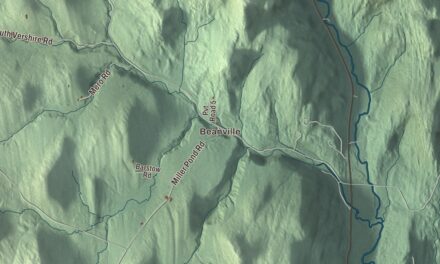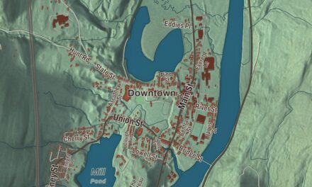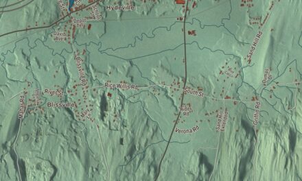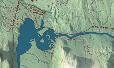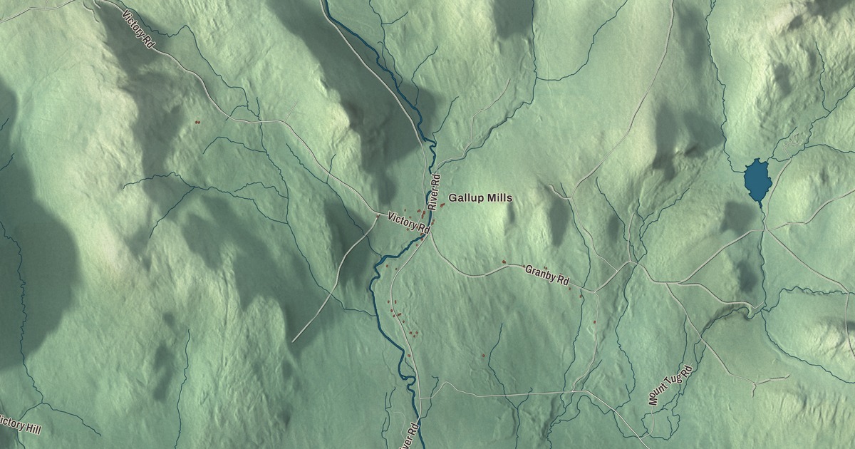
Victory is a forest town in the valley of the Moose River, home to 70 people at the 2020 census. This map prints Gallup Mills, Damon Crossing and the Moose River, with Victory Road, River Road, Masten Road, Granby Road, Umpire Road and Mount Tug Road.
Victory is a town in Essex County, Vermont.
KNOWOL made this map in 2026 from public survey data and gave it the look of an old county atlas, shading the mountains from United States Geological Survey elevation data and drawing the roads and town line from the Census Bureau. The town covers 43.0 square miles, nearly all of it land. Click here to purchase a print of this map for your wall.
A valley ringed by mountains
Vermont granted Victory in November 1780 and chartered it on September 6, 1781, to Captain Ebenezer Fisk and 64 associates. George A. Appleton, writing the town’s history in the 1860s, described it as nearly surrounded by mountains, with much of the town in the valley of the Moose River. Burke Mountain rises to the west, Mount Tug and Miles Mountain to the east and southeast, and Kirby Mountain to the southwest, and the one mountain wholly inside the town is Umpire Mountain, about 2,000 feet high. Moose were once so plentiful here, he wrote, that the river took its name from them. Where Bog Brook meets the Moose, about two and a half miles above the southern line, lies the Bog, some 3,000 acres of low, marshy land.
The proprietors met at Guildhall in 1798 to accept a survey of the township, and a road was partly opened that year, about 14 years before anyone lived in town. John Shorer, the first permanent settler, came over from Granby in 1822, and the neighborhood that grew around him became North Victory. Timothy Minor started West Victory in January 1827, and Hannah Bean taught the first school, eight pupils, in the spring of 1832. The town wasn’t organized until 1841, when it chose Loomis Wells as its first town clerk and first representative. A post office followed in 1858.
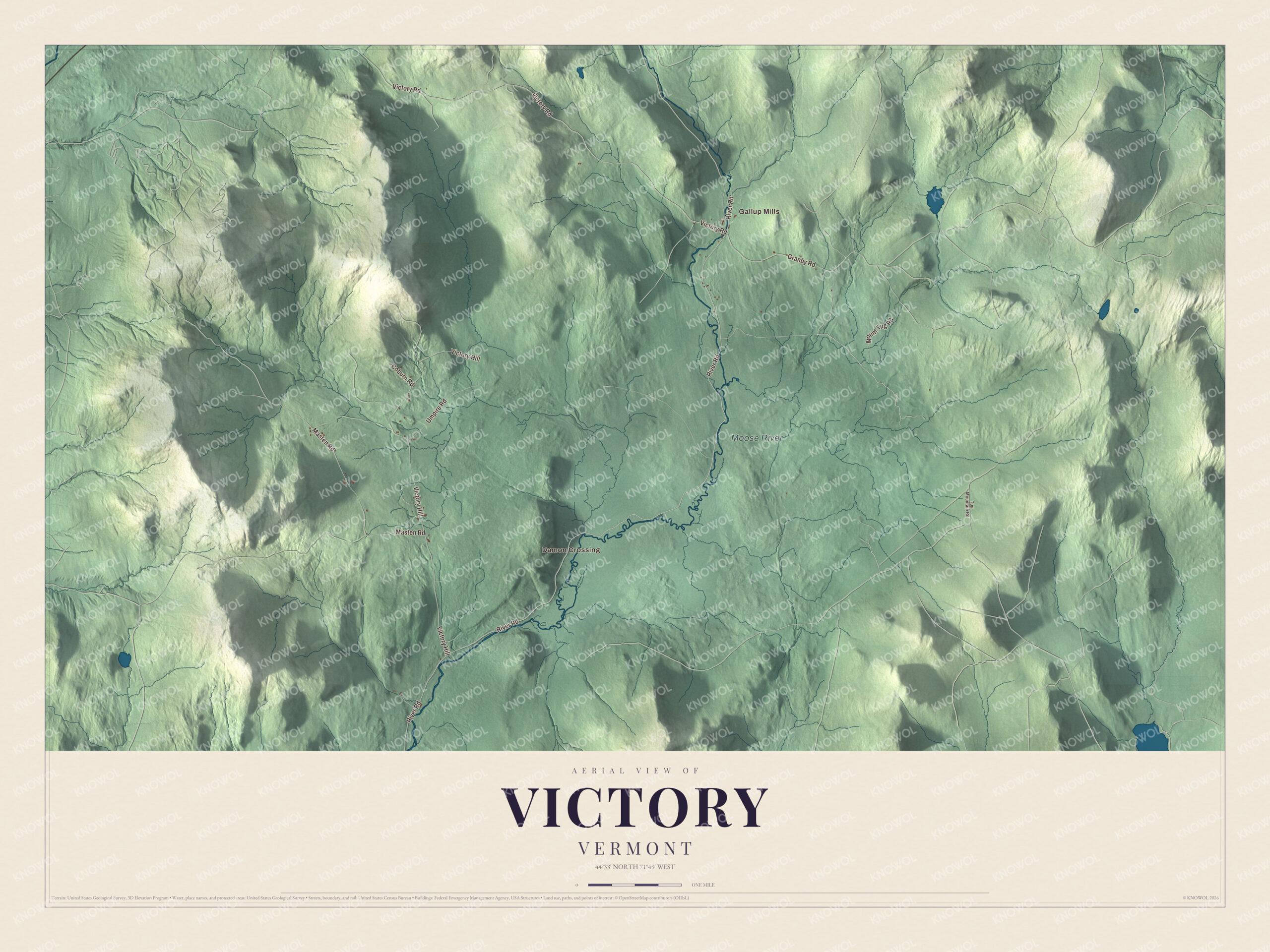
Click to explore a larger preview. The digital watermark does not appear on printed maps.
Names on this map
These names are printed on this map.
Places: Gallup Mills, Damon Crossing and Moose River.
Streets and roads: Victory Road, River Road, Victory Hill, Masten Road, Granby Road, Umpire Road, Mount Tug Road, Coburn Road and Tug Mountain Road.
See it on a wall
The Victory map as a framed print. Swipe for more.


Pine and blueberries
Lumbering went on from the town’s first settlement. Before 1841 most of the logs were floated down the Moose and Passumpsic rivers to the Connecticut, and Appleton estimated that probably at least 20,000,000 feet of pine, spruce and hemlock had been cut in town in the 30 years before he wrote. Cedar went out for fences and for ties on the Passumpsic railroad. Where the timber had been cut and fires had run through, blueberries came up on their own. In the autumns of 1859 and 1860, he wrote, they were so thick that a pailful could be picked in minutes, and people came from 30, 40 and even 50 miles away, lining the roadsides with their horses and carriages. With neighboring Granby, Victory was one of the last two towns in Vermont to be connected to the electric grid, in 1963. Victory State Forest now covers 16,272 acres in Victory, Concord, Granby and Lunenburg and is managed mainly for timber and wildlife habitat.
On the map, start at Gallup Mills, then follow Victory Road, River Road, Masten Road, Granby Road, Umpire Road and Mount Tug Road across town. Then look outward toward Damon Crossing. The Moose River is printed too. Victory dates to 1781.
This map of Victory is made for everyone who calls Victory home, and it shows the town as it looks today, from Gallup Mills to Damon Crossing and the Moose River. Hang it in an office, library or den, or use it to teach children the geography and history of their town. It’s printed on museum quality archival paper. Zoom in on the preview above to explore the details, then click here to get your copy of the Victory, Vermont map.

Sources