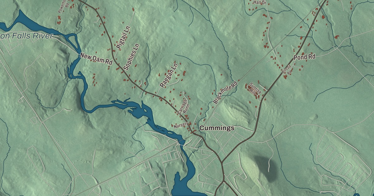
School Street, Portland Street and Cemetery Road are printed by name on this map of Berwick, along with Allen Street, Thompson Hill Road, Old Sanford Road and Cummings. The Salmon Falls River is printed too, with Lake Murdock and Beaver Dam Pond. Click here to purchase a print of this map for your wall.
Berwick is a town in York County, and 7,950 people lived here at the 2020 census.
KNOWOL made this map in 2026 from public survey data and dressed it in the colors of an old atlas. The relief is shaded from United States Geological Survey elevation data. The Census Bureau provided the roads and the town line, and it measures Berwick at 37.86 square miles, nearly all of it land. Diamond Hill, at 490 feet, is the highest ground in town.
The ninth town in Maine
The Abenaki called this country, and the banks of the Salmon Falls River, Newichawannock, which its town page translates as “river of many falls” or “land of great falls.” English settlement began about 1631, when Ambrose Gibbens settled here in what was then part of Kittery, known as Kittery Commons or Kittery North Parish. The pine forests fed shipbuilding, and the first sawmill in English America was built at Great Works Falls, in what is now South Berwick. The parish was later called Unity, after the ship that brought Scottish prisoners of war from the Battle of Dunbar in 1650; many of them worked at the Great Works mills until they could pay for their own freedom.
Raids in the frontier wars emptied the village in 1690, and it was resettled in 1703, soon taking the name Berwick after Berwick-upon-Tweed in England. On June 9, 1713, the Great and General Court incorporated it as the ninth town in what is now Maine. The town page also says the first schoolhouse in the state was built here in 1719. Berwick was once much larger: in 1749 its people split it into two parishes, and South Berwick was set off in 1814, followed by North Berwick in 1831.
Berwick gave Massachusetts a governor. James Sullivan was born in Berwick in 1744 and grew up here. He became a justice of the state’s highest court in 1776, served for years as its attorney general, helped draft its constitution and was governor from 1807 until his death. He was also the founding president of the Massachusetts Historical Society and wrote one of the first histories of Maine. Hannah Tobey Farmer, born in Berwick in 1823, joined the American Anti-Slavery Society days after her wedding, and her home in Dover, New Hampshire, became a way station on the Underground Railroad. During the Civil War she raised money and supplies for Union soldiers, and in 1888 she opened Rosemary Cottage in Eliot, a summer retreat for mothers, children and working women.
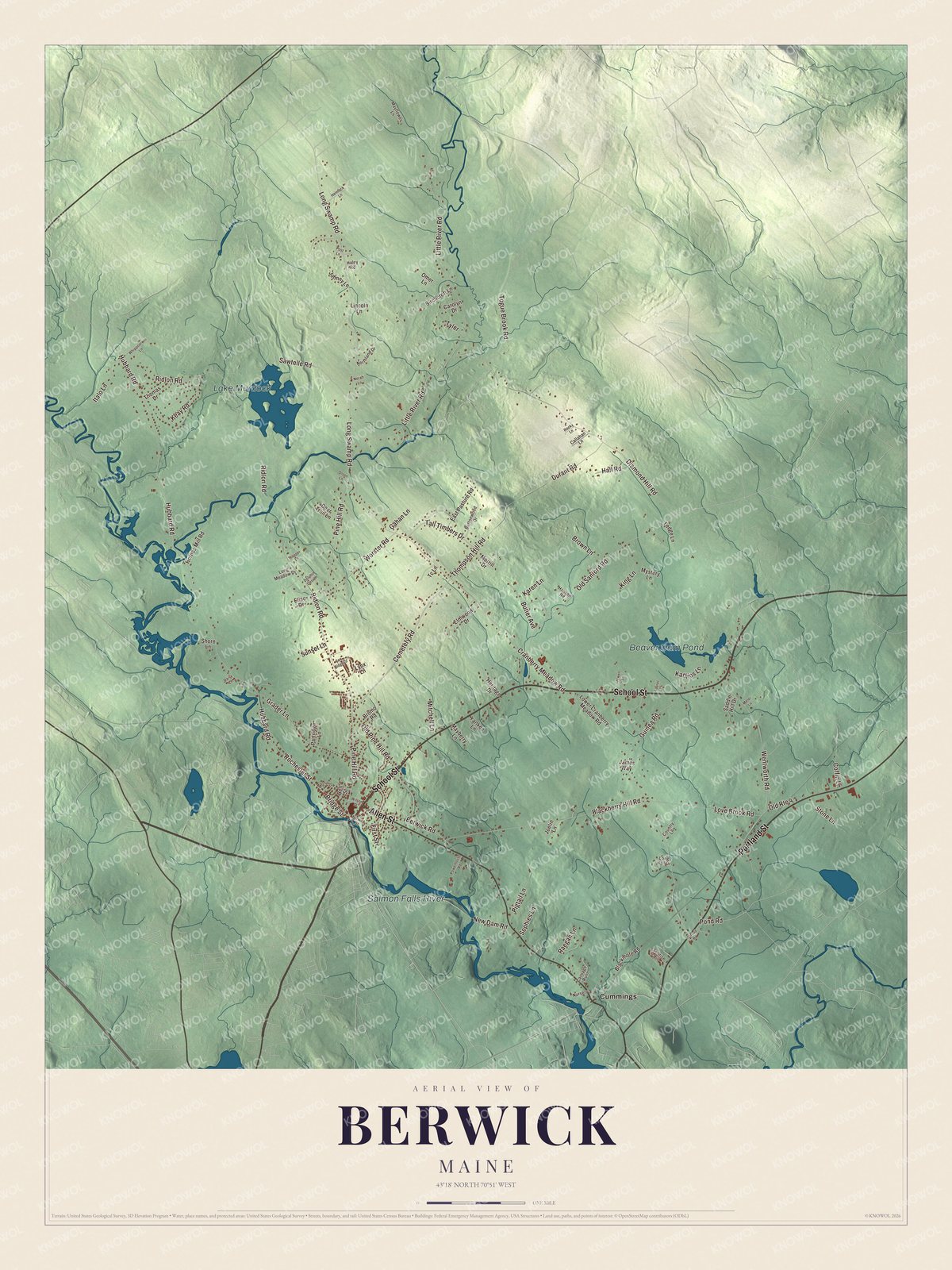
Click to explore a larger preview. The digital watermark does not appear on printed maps.
See it on a wall
The Berwick map as a framed print. Swipe for more.


The river and the town
The Salmon Falls River is printed on the map. It flows about 38 miles from Great East Lake to the point where it meets the Cochecho River and forms the Piscataqua, and it marks the line between York County, Maine, and Strafford County, New Hampshire. Its page lists Berwick among the places where it makes hydroelectric power. Across the bridge lies Somersworth, New Hampshire, the mill town once called Great Falls, and the town page describes the two places as tied together economically from the 19th century on. Somersworth’s own page says its first mill workers came from the surrounding farms, many of them in Berwick, and many of them women.
The railroad came in the mid-1800s and the town kept producing lumber. Nute’s Shoe Factory arrived late in that century, and Prime Tanning early in the next. Prime Tanning grew into an international maker of leather before it closed its Berwick headquarters in 2008. On its old grounds the town has built The Edge at Berwick, whose first commercial building opened in 2022.
School Street is printed too. At 45 School Street stands the old Berwick High School, the town’s high school from 1928 to 2001, listed on the National Register of Historic Places in 2012. Cemetery Road is printed as well. At number 55, in Evergreen Cemetery, the Memorial Chapel joined the National Register in 2018. Portland Street, Allen Street, Thompson Hill Road and Old Sanford Road are printed on the map, along with Cummings, Lake Murdock and Beaver Dam Pond.
This Berwick map makes a handsome addition to an office, library or den, and it can teach children the geography and history of Berwick. It’s made for anyone who calls Berwick home, from School Street to the Salmon Falls River, as it looks today. Zoom in on the preview above to explore the details, then click here to get your copy of the Berwick, Maine map.

Sources