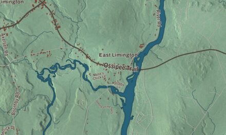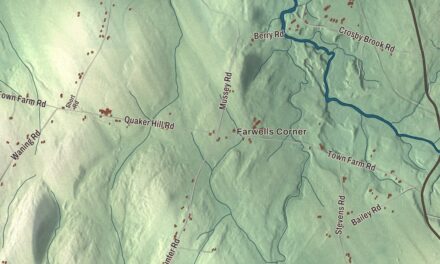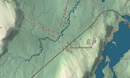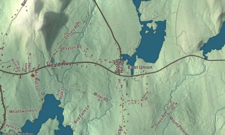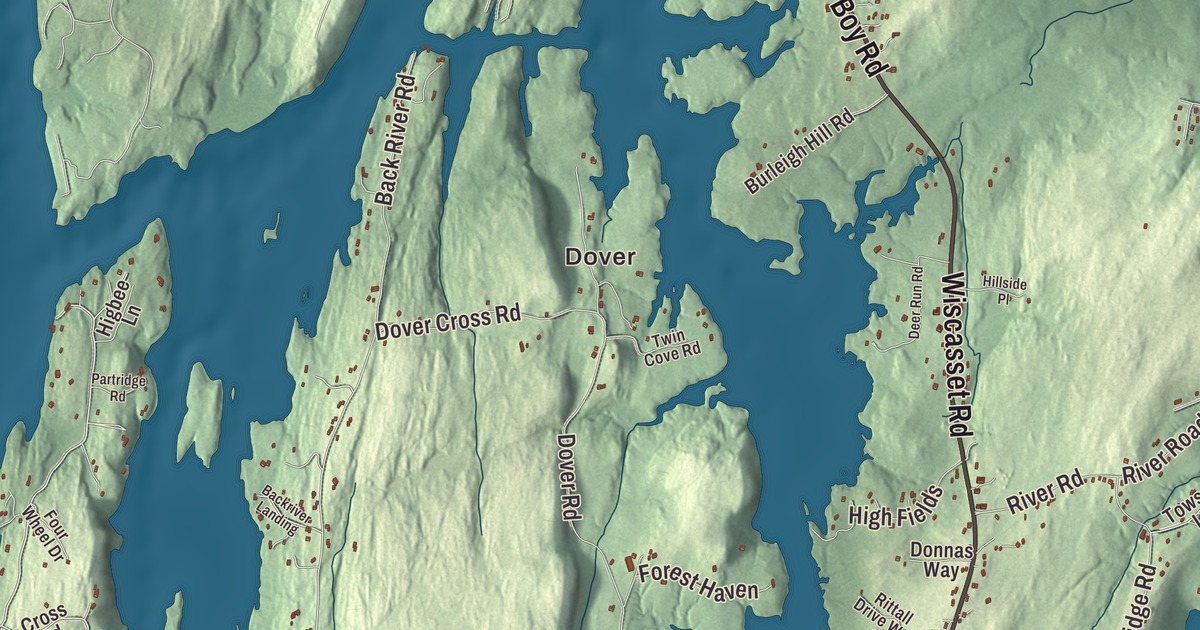
Boothbay is a town of many neighborhoods, and this map names them: Dover and Oak Hill, Back Narrows, Linekin, Ocean Point and Trevett. It prints Wiscasset Road, Boothbay Road, Booth Boy Road, Ocean Point Road, West Side Road and Corey Lane too, with Adams Pond and Wiley Pond. Click here to purchase a print of this map for your wall.
Boothbay is a town in Lincoln County, and it counted 3,003 people at the 2020 census.
KNOWOL made this map in 2026 from public survey data, colored and lettered like an old atlas. United States Geological Survey elevation data gives the land its relief, and the Census Bureau provides the roads and the town line. More of Boothbay is water than land: of its 71.80 square miles, 49.87 are water. The town sits on the Cape Newagen peninsula between the Sheepscot and Damariscotta rivers, and it surrounds the town of Boothbay Harbor.
Townsend, then Boothbay
The Abenaki called the region Winnegance. English fishermen worked from an outpost at Cape Newagen by 1623, but war twice drove the early settlers off, and the land lay empty for 40 years. In 1730 Colonel David Dunbar, governor of the Territory of Sagadahock, founded a settlement called Townsend and persuaded about 40 families of Scots-Irish Presbyterians, most of them from the north of Ireland, to make their homes there. It held on, and on November 3, 1764, it was incorporated as the town of Boothbay. Southport, then still called Townsend, split off in 1842, and Boothbay Harbor followed in 1889.
Out at the mouth of the Damariscotta River, Damariscove Island belongs to Boothbay too. The Abenaki called it Aquahega, “place of landing,” and fishing vessels were coming to it as early as 1604. Captain John Smith charted it in 1614. In the spring of 1622, when the Pilgrims at Plymouth were facing starvation, they sent a boat to Damariscove, and the fishermen there filled it with cod. The island is uninhabited now, and its page says most of it has been protected since 1966, today under the Boothbay Region Land Trust.
Boothbay still builds boats. Its town page counts five shipyards, the largest being Washburn and Doughty in East Boothbay, which by 2007 had become the largest builder of tugboats on the East Coast. East Boothbay is also home to the Bigelow Laboratory for Ocean Sciences, founded in 1974 and named for the oceanographer Henry Bryant Bigelow. And on nearly a mile of tidewater shoreline, the Coastal Maine Botanical Gardens opened on June 13, 2007, after 16 years of planning and planting. Its page calls it the largest botanical garden in New England, with 295 acres and about 200,000 visitors a year.
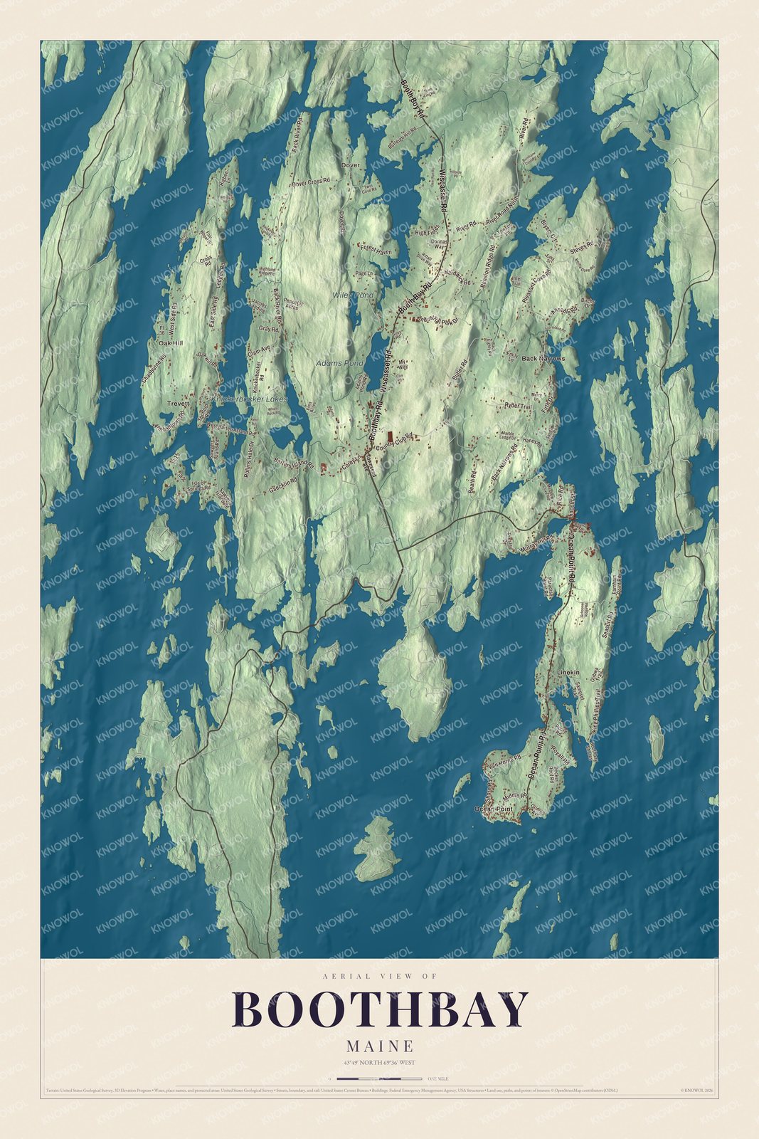
Click to explore a larger preview. The digital watermark does not appear on printed maps.
See it on a wall
The Boothbay map as a framed print. Swipe for more.


Points, necks and coves
Corey Lane is printed on the map. In the village center, on a triangular lot between Back River Road and Corey Lane, stands the Knight-Corey House, built in 1787 by Nicholas Knight on the site of an inn kept by one of the area’s early settlers. It’s a fine Federal house, with five working fireplaces and an enclosed circular staircase, and from 1974 to 1990 it held the Boothbay Theatre Museum, with its collection of memorabilia from actors such as Edwin Booth and Sarah Bernhardt.
Dover and Oak Hill are printed on the map. So are Back Narrows, Linekin and Ocean Point, and the town page lists all five among Boothbay’s neighborhoods, along with Spruce Shores. Trevett is printed too. The page counts it as one of the town’s two villages, with East Boothbay. Ocean Point Road is printed as well. According to the Boothbay Harbor page, Route 96 runs east to East Boothbay and ends at Ocean Point. Wiscasset Road, Boothbay Road, Booth Boy Road and West Side Road are printed on the map, along with Adams Pond and Wiley Pond.
On Sawyers Island, on the town’s west side in the Sheepscot River, the Old Gray House stands at 60 Tavenner Road. It probably dates from the 1820s, but the site is much older: a 1746 deed covers the whole island, and by 1753 a house there served as a tavern, inn and store.
This Boothbay map makes a handsome addition to an office, library or den, and it can teach children the geography and history of a coastal town of islands and shipyards. It’s made for anyone who calls Boothbay home, from Oak Hill to Ocean Point, as it looks today. Zoom in on the preview above to explore the details, then click here to get your copy of the Boothbay, Maine map.

Sources