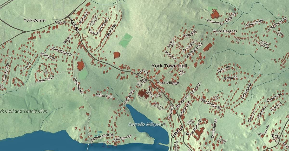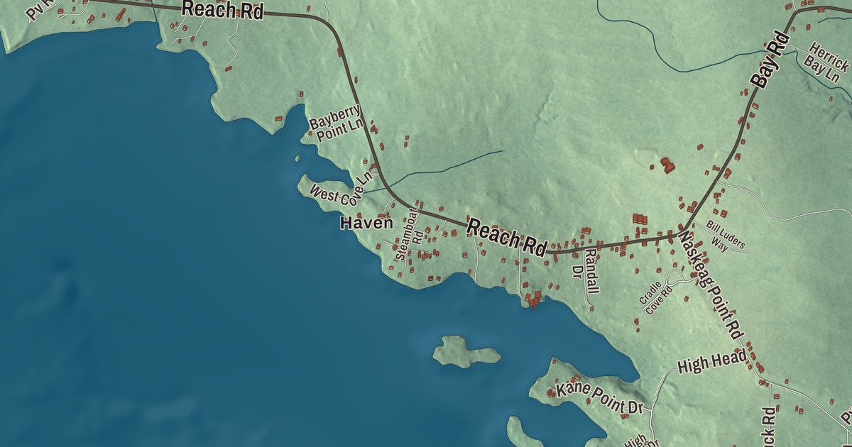
Bay Road and Reach Road are both printed on this map of Brooklin, along with Pooduck Road, Barnacle Lane, Flye Point Road and Old County Road. Look for Haven and Naskeag, North Brooklin and West Brooklin, and Meadow Brook. Click here to purchase a print of this map for your wall.
Brooklin is a town in Hancock County, with 827 people at the 2020 census.
KNOWOL made this map in 2026 from public survey data and gave it the look of an old atlas. The hills are shaded from United States Geological Survey elevation data, and the roads and town line come from the Census Bureau. The bureau counts 41.18 square miles in Brooklin, and 23.26 of them are water, since the town lies on Eggemoggin Reach, Blue Hill Bay and the Benjamin River.
Named for a brook line
Brooklin was once part of the larger town of Sedgwick. Brooklin dates to 1849, when it broke away to form a town of its own, and a few weeks later it took the name Brooklin, after the brook line that divided it from Sedgwick. Farmers made the hard soil productive with pogie oil as fertilizer and grew hay above all, but with good harbors most people made their living from fishing and the sea. By 1859, when 1,002 people lived here, the town also had five boot and shoe factories and two barrel makers, and by 1886 it was known for smoked herring and for canning lobster.
People were here long before. On Naskeag Point, the southernmost peninsula in town, the Goddard Site was a major summer camp and trading place, where archaeologists have found stone tools brought from far across the region, worked copper and the post molds of what was probably a longhouse. It’s best known as the claimed find spot of the Maine penny, a Norse silver coin from the reign of Olaf Kyrre in the 11th century. The coin itself is genuine, but how it came to be found here is disputed, and scholars still debate it.
Charlotte’s Web and wooden boats
Bay Road is printed on the map. At 511 Bay Road, overlooking Allen’s Cove at the south end of Blue Hill Bay, is the E. B. White House, a farmhouse built about 1795 by Captain Richard Allen. E. B. White bought it in 1933 as a summer place and made it a year-round home in 1937, and the farm on the property was the inspiration for Charlotte’s Web. He wrote a number of his important works in the house, and over his career he won a Pulitzer Prize and the Presidential Medal of Freedom. He kept his home’s location quiet; in 1977 he got an interviewer to say only that he lived in a New England coastal town “somewhere between Nova Scotia and Cuba.” White died at his farm in North Brooklin in 1985 and is buried in the Brooklin Cemetery.
His son, Joel White, grew up in North Brooklin and studied naval architecture at MIT. In 1960 he opened the Brooklin Boat Yard in a former herring-packing plant and became known for simple, classic wooden boats, among them the 15-foot Haven 12½ sailboat. The yard is now owned by its employees. WoodenBoat, the magazine for builders and lovers of wooden boats founded in 1974, also has its headquarters in Brooklin. And after James Russell Wiggins finished his years as editor of The Washington Post and ambassador to the United Nations, he moved to Brooklin and spent his last decades editing and publishing The Ellsworth American. He died at his home here in 2000, at 96.
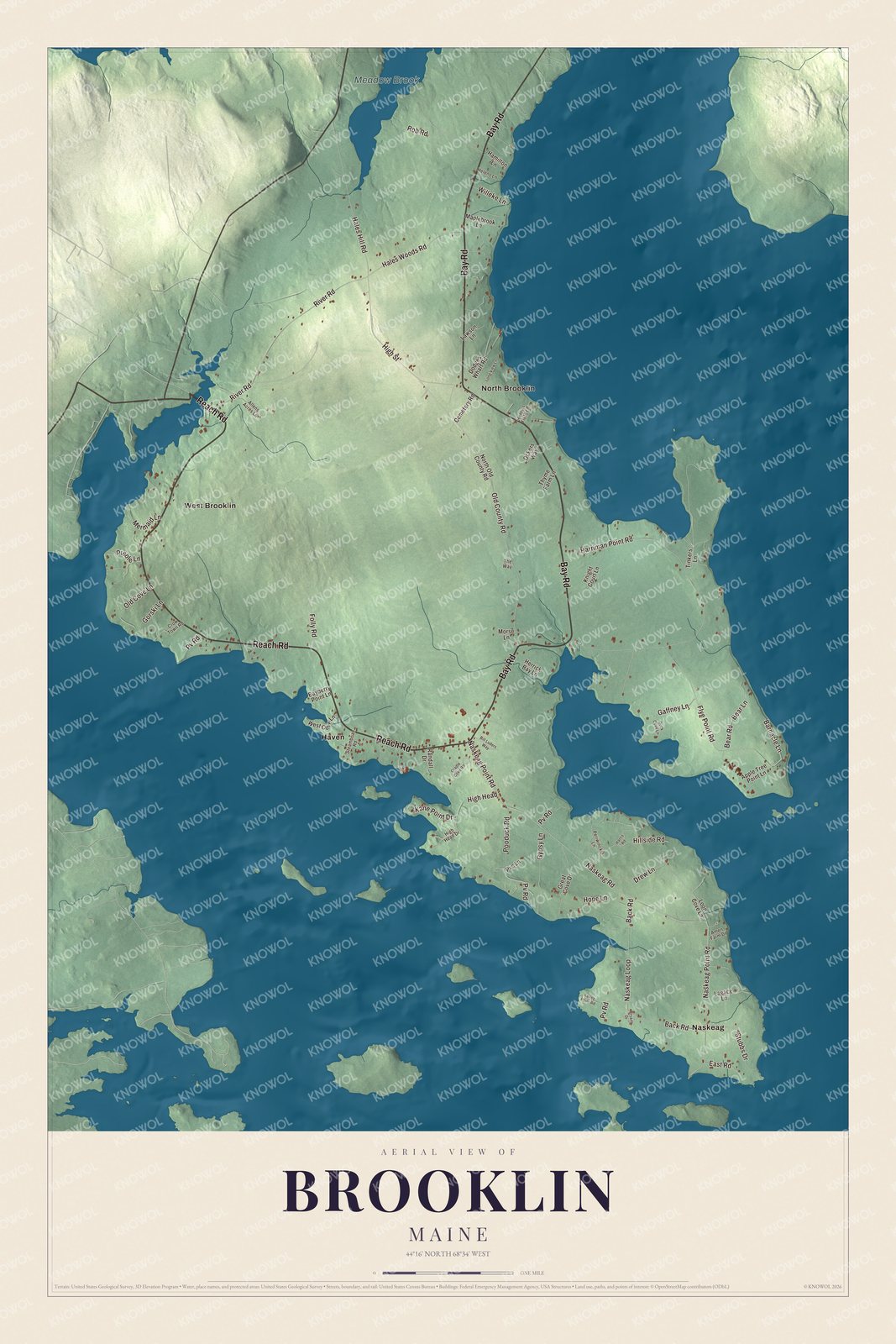
Click to explore a larger preview. The digital watermark does not appear on printed maps.
See it on a wall
The Brooklin map as a framed print. Swipe for more.


Along the Reach
Reach Road is printed on the map. It’s State Route 175, and where it meets Center Harbor Road, west of the town center, stands the Brooklin IOOF Hall, a three-story Second Empire building with two storefronts below, a community hall in the middle and the Odd Fellows’ lodge room on top, which kept its original benches and podium. It’s one of the town’s largest 19th-century buildings.
Haven and Naskeag are printed on the map too. Near Naskeag Point Road stands the Beth Eden Chapel, built in 1900 by Methodists and opened to every Christian denomination, the first church in the Naskeag Point area. Flye Point Road is printed as well. An archaeological site on Flye Point is on the National Register of Historic Places. North Brooklin and West Brooklin are printed, and so are Pooduck Road, Barnacle Lane, Old County Road and Meadow Brook.
This Brooklin map makes a handsome addition to an office, library or den, and it can teach children the geography and history of a Hancock County harbor town. It’s made for anyone who calls Brooklin home, from Naskeag to North Brooklin, as it looks today. Zoom in on the preview above to explore the details, then click here to get your copy of the Brooklin, Maine map.

Sources
- Brooklin, Maine, Wikipedia
- Goddard Site, Wikipedia
- E. B. White House, Wikipedia
- E. B. White, Wikipedia
- Joel White, Wikipedia
- WoodenBoat, Wikipedia
- James Russell Wiggins, Wikipedia
- Brooklin IOOF Hall, Wikipedia
- Beth Eden Chapel, Wikipedia
- National Register of Historic Places listings in Hancock County, Maine, Wikipedia