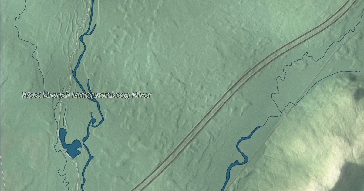
Dyer Brook Road is the first name to find on this map of Dyer Brook, Maine. Town Line Road, Oakfield Road, Pond Road, Rock Crusher Road and Keith Brook Road fill in the rest, along with the West Branch Mattawamkeag River. Click here to purchase a print of this map for your wall.
Dyer Brook is a town in Aroostook County, with 215 people at the 2020 census.
KNOWOL made this map in 2026 from public survey data and gave it the look of an old atlas. The Census Bureau measures the town at 38.52 square miles, almost all of it land, with just 0.01 square miles of water, and its files give the roads and the town line. United States Geological Survey elevation data shades the ground, and Dyer Brook has a listed elevation of 554 feet.
A school for six towns
Dyer Brook was incorporated as a town on March 21, 1891, out of what had been Dyer Brook Plantation. It’s a small town, with 213 people in 92 households at the 2010 census and 215 in 2020, but it’s home to the school for six towns. Southern Aroostook Community School, a public school for kindergarten through grade 12, serves Crystal, Dyer Brook, Island Falls, Merrill, Oakfield and Smyrna. It opened in April 1976 after 25 years of work, at a cost of 3 million dollars, and was planned for 750 students and 36 teachers, with a gym that seats 900 and a library. Its teams are the Warriors and Lady Warriors, and in 2018 the Lady Warriors beat Vinalhaven to win the Class D state basketball championship, the school’s first state title in 23 years.
Red Drew
Harold “Red” Drew was born in Dyer Brook in 1894 and grew up in Patten. He played football and baseball and pole-vaulted at Bates College, flew for the Navy in World War I, and then spent more than 40 years coaching. At the University of Alabama he coached the ends, among them Don Hutson and Bear Bryant, on the undefeated 1934 team that won the national championship. As Alabama’s head coach from 1947 to 1954 he went 54, 28 and 7, beat Auburn 55 to 0 in 1948, the most lopsided score in that rivalry, and won the 1953 Orange Bowl 61 to 6. He was named Southeastern Conference Coach of the Year in 1952, coached Alabama’s track team for 23 seasons, and is in the Alabama Sports Hall of Fame.
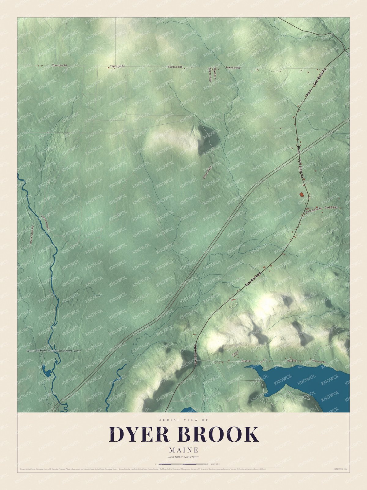
Click to explore a larger preview. The digital watermark does not appear on printed maps.
See it on a wall
The Dyer Brook map as a framed print. Swipe for more.


Roads and river
Dyer Brook Road is printed on the map, and so are Town Line Road, Oakfield Road, Pond Road, Rock Crusher Road and Keith Brook Road. The West Branch Mattawamkeag River is labeled on the map. Oakfield Road shares its name with Oakfield, one of the towns the Dyer Brook school serves, and the smaller roads and lanes are drawn in as well.
This Dyer Brook map makes a fine addition to an office, library or den, and it can help teach children the geography and history of the area. It’s made for everyone who calls Dyer Brook home, from Dyer Brook Road to Keith Brook Road, as it looks today. Zoom in on the preview above to explore the details, then click here to get your copy of the Dyer Brook, Maine map.

Sources
- Dyer Brook, Maine, Wikipedia
- List of municipalities in Maine, Wikipedia
- Maine Private and Special Laws 1891, An Act to incorporate the town of Dyer Brook
- Maine Private and Special Laws 1891, An Act to incorporate the town of Dyer Brook
- Southern Aroostook Community School, Wikipedia
- Harold Drew, Wikipedia