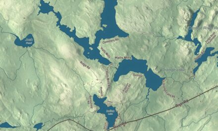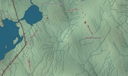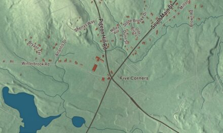
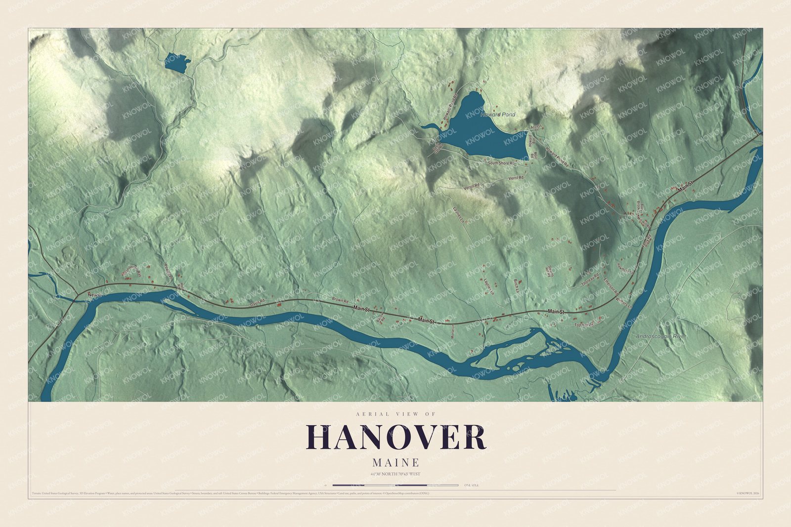
Howard Pond and Androscoggin River give you two water names to find on this Hanover map. Howard Pond Road and Main Street provide familiar ways to explore the town around them. Click here to purchase a print of this map for your wall.
Hanover is a town in Oxford County.
KNOWOL made this map in 2026 from public survey records, with modern geography and the look of a vintage atlas. United States Geological Survey elevation data gives the terrain its shading. Census Bureau files supply the roads and municipal boundary, with buildings and water features brought together in the aerial view.
Howard’s Gore and the pond outlet
Phineas Howard bought land that included Howard Pond in 1792, and the community became known as Howard’s Gore. It combined with land separated from Bethel to form Hanover in 1843. German settlers named the town for the House of Hanover.
Farming was an early occupation, with hay among the crops. Water from Howard Pond’s outlet powered mills producing flour, woolens, furniture, lumber and wooden household goods. The last mills closed by the early 1950s. Hanover’s population was 286 at the 2020 census.
Click to explore a larger preview. The digital watermark does not appear on printed maps.
Names on this map
These names are printed on this map.
Places: Howard Pond, Androscoggin River and Newry.
Streets and roads: Main Street, Howard Pond Road, South Shore Road, Lauries Lane, Top Hat Road, Thoreau Road, Brown Road, Verrill Road, Verril Road, Davis Road, Birch Lane, Emerson Road.
More street names, A to Z
Access Drive, Baby Brook Lane, Barlow Road, Chamberlain Way, Ferry Road, Hawthorn Road, Holt Road, Howard Avenue, Mill Hill Road, Moir Road, Morse Lane, Powell Place, Seely Gate Road, Stearns Hill Road, Withers Lane.
See it on a wall
The Hanover map as a framed print. Swipe for more.


A closer look at Hanover
Main Street, Howard Pond Road, South Shore Road, Lauries Lane, Top Hat Road and Thoreau Road are printed on the map. Howard Pond and Androscoggin River have printed names too. The river bounds Hanover on the south.
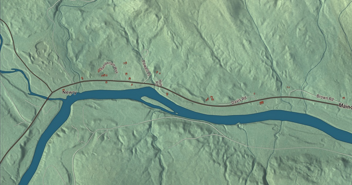
Newry also appears as a printed name on the map. It is a separate town, not a village within Hanover. Keep that neighboring municipality distinct as you explore Hanover’s roads and present boundary.
For people who call Hanover home, the map brings familiar places together as it looks today. It can hang in an office, library or den, or help teach children the geography and history of the area. Zoom in on the preview above to explore the details, then click here to get your copy of the Hanover, Maine map.

Sources