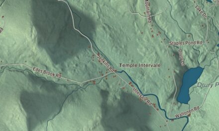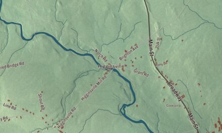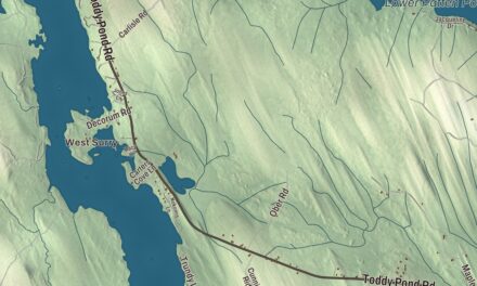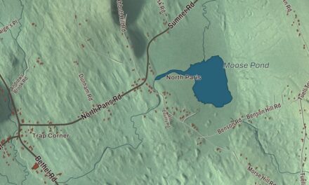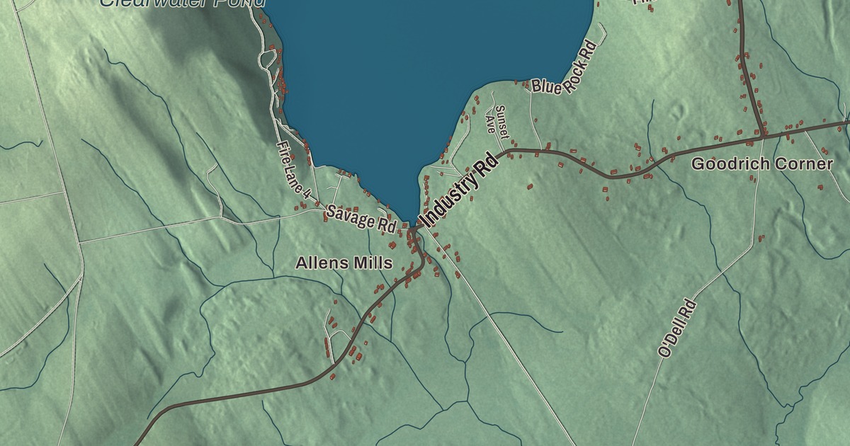
Allens Mills and West Mills give you familiar names to find on the Industry map. Clearwater Pond and Mosher Pond bring more local places into the aerial view. Click here to purchase a print of this map for your wall.
Industry is a town in Franklin County.
KNOWOL made this map in 2026 from public survey records, combining modern geography with the look of a vintage atlas. United States Geological Survey elevation data shades the terrain. Census Bureau files supply the roads and municipal boundary, with buildings and waterways brought together in an aerial view.
A town and a seed saver
Industry was incorporated as a town in 1803. The town had 788 residents at the 2020 census. Its geographical profile gives an area of 30.98 square miles of land and water.
Will Bonsall established Khadighar Farm in Industry after returning to Maine. He founded the Scatterseed Project in 1981 to preserve crop varieties through seed saving. His work includes gardening publications and talks about growing food and saving seeds.
Bonsall’s gardening guide was published in 2015. He also practices veganic farming, which avoids animal inputs such as manure. The farm and seed project give Industry a particular story of growing and preserving food crops. Bonsall is an author as well as a farmer, with his gardening and seed-saving work carried out here in Industry.
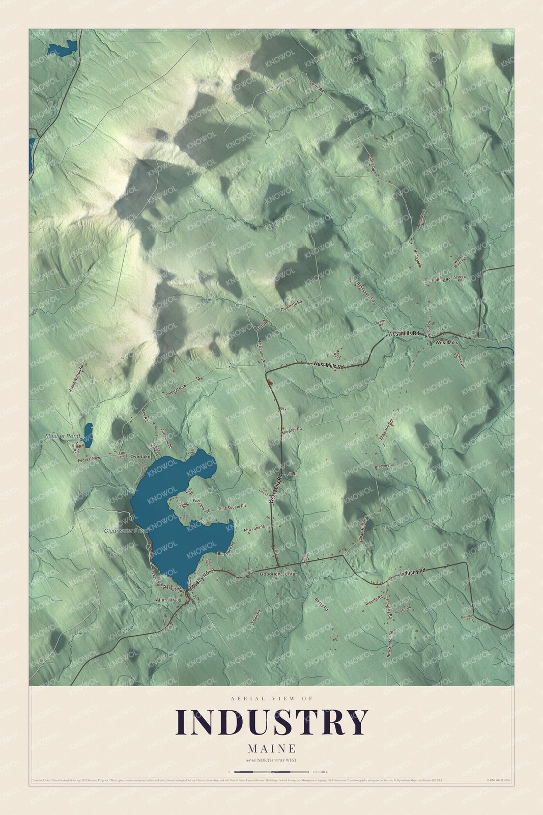
Click to explore a larger preview. The digital watermark does not appear on printed maps.
See it on a wall
The Industry map as a framed print. Swipe for more.


Exploring Industry
Find Allens Mills, Goodrich Corner, Overlake and West Mills. West Mills Road, Industry Road, Cornforth Road, Fish Road, Rand Road and Time Square Road carry printed names.
Clearwater Pond and Mosher Pond are printed on the map. The roads, water features and buildings are brought together with the terrain inside the town boundary. You can begin at a familiar pond or road and explore its place in the broader view.
For people who call Industry home, this map brings familiar roads and places together as it looks today. It can hang in an office, library or den, or help teach children the geography and history of the area. Zoom in on the preview above to explore the details, then click here to get your copy of the Industry, Maine map.

Sources