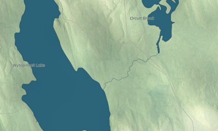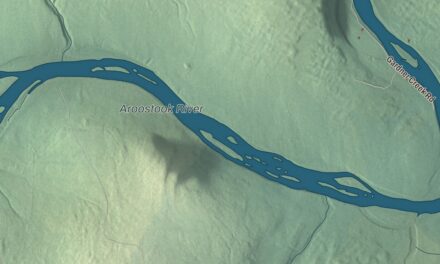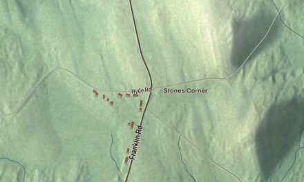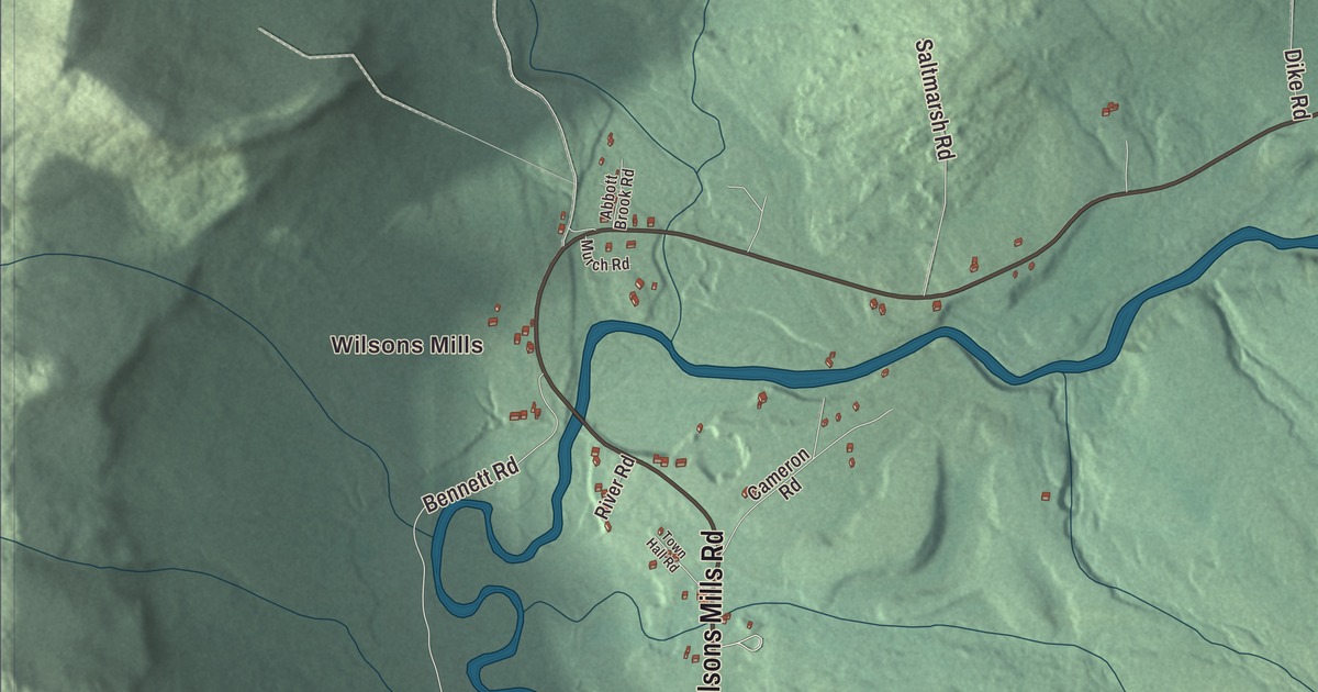
Wilsons Mills is a starting point for exploring this Lincoln Plantation map. Find Magalloway River, Wilsons Mills Road and the buildings along the drawn roads. Click here to purchase a print of this map for your wall.
Lincoln Plantation is a plantation in Oxford County.
KNOWOL made this map in 2026 from public survey records, United States Geological Survey elevation data and Census Bureau files. Its atlas layout brings together Lincoln Plantation’s streets, buildings, ponds and waterways, and terrain, the plantation boundary and the pattern of buildings.
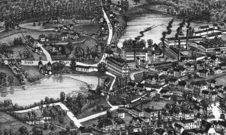
Wilsons Mills and a covered bridge
As a plantation, it governs itself much as a town does, though with less power than a town. The plantation includes the village of Wilsons Mills and the southern portion of the Aziscohos Lake reservoir.
Bennett Bridge formerly carried Littlehale Road over the Magalloway River south of Wilsons Mills. It has a timber Paddleford truss and granite abutments, and it closed to traffic in 1985.
Aziscohos Dam impounds the reservoir on the Magalloway River. Aziscohos Mountain is another part of the plantation’s landscape.
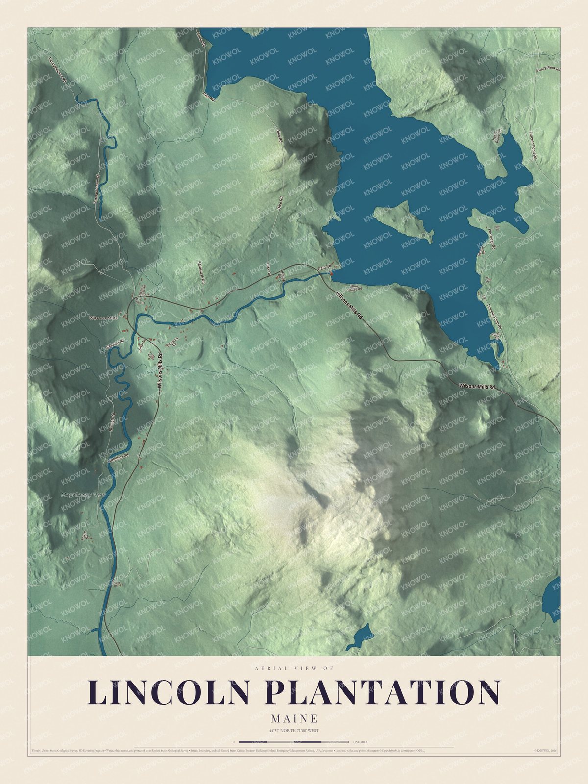
Click to explore a larger preview. The digital watermark does not appear on printed maps.
See it on a wall
The Lincoln Plantation map as a framed print. Swipe for more.


Explore the Lincoln Plantation map
Wilsons Mills and Magalloway River are printed names on this map. Wilsons Mills Road, Lincoln Pond Road and Parmachenee Road are routes to look for in the aerial view.
Bennett Road, Dike Road and Camp Road are printed as well. Enlarge the preview to compare the roads with the buildings, water and relief of the terrain.
For people who call Lincoln Plantation home, this map shows the plantation as it looks today. Put it in your office, library, or den, or use it to teach children the geography and history of the area. Zoom in on the preview above to explore the details, then click here to get your copy of the Lincoln Plantation, Maine map.

Sources