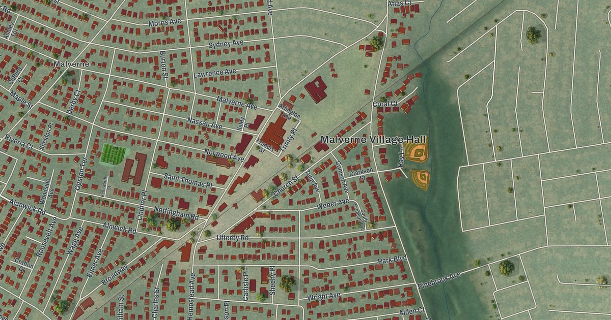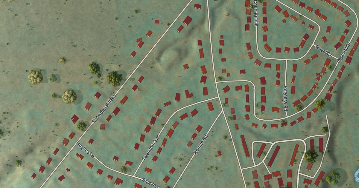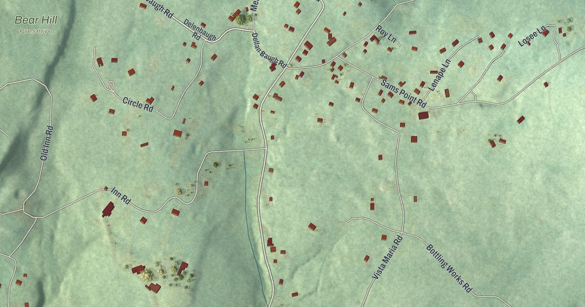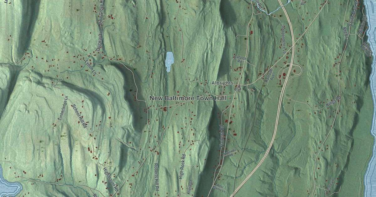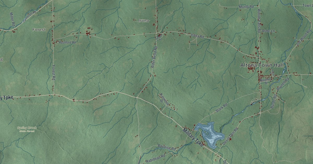
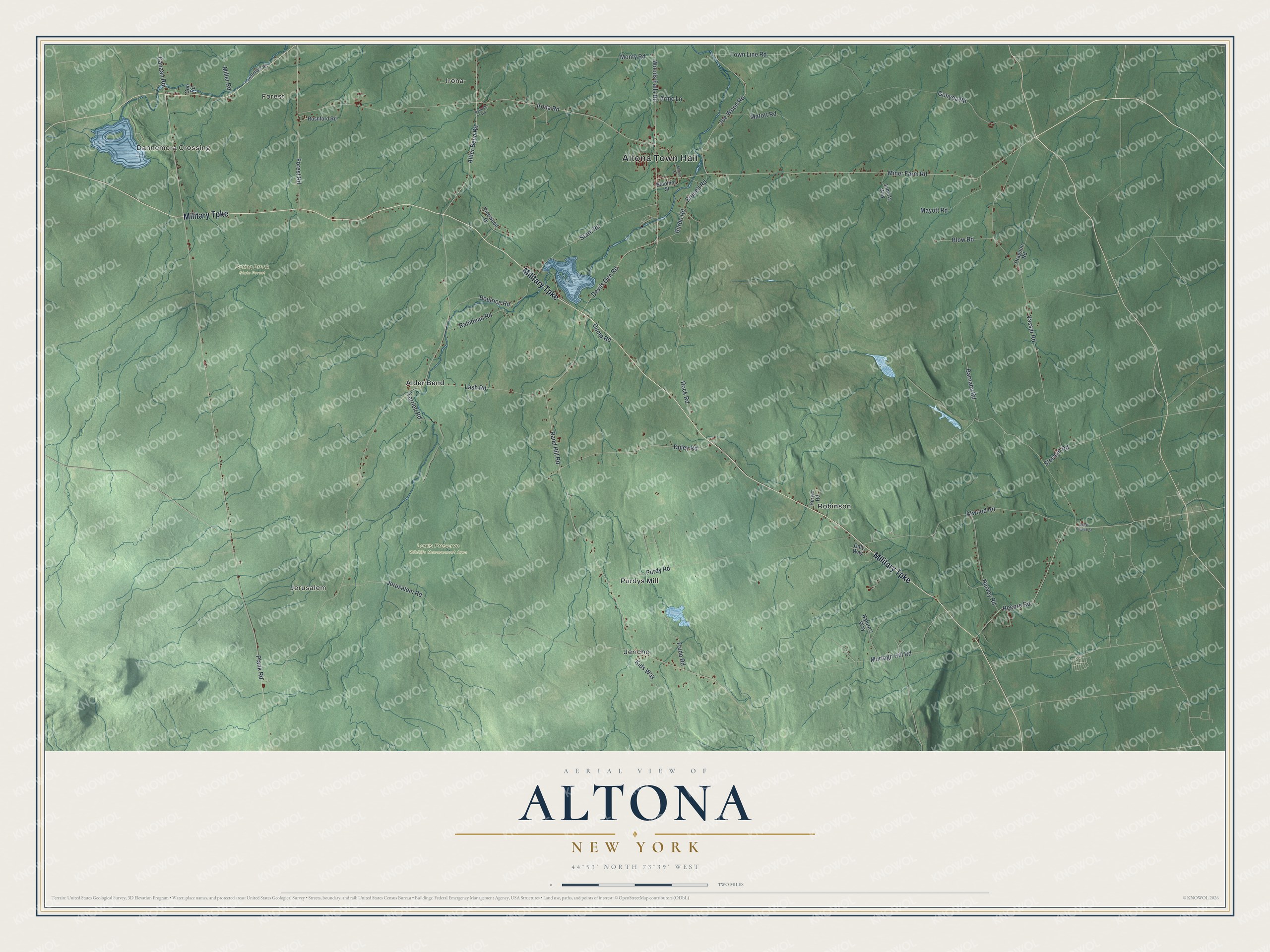
This beautifully detailed map of Altona, New York was created in 2026 using aerial imagery combined with modern topographical, census, street and landmark data. It’s a one-of-a-kind view of Altona that combines accurate data with a vintage aesthetic. The map shows every building in its true location, many of the roads carry their names, and the shaded topographic relief shows the shape of the land.
Explore an aerial view of Altona, New York
On the map you’ll find Altona Town Hall, Dannemora Crossing, Forest, Jerusalem, Irona, Alder Bend, Lewis Preserve Wildlife Management Area, and Spring Brook State Forest, along with Military Turnpike, Devils Den Road, Rock Road, Jerusalem Road, and more. If you look closely you can even find your house accurately drawn in its correct location. Zoom in on the preview to look for yours.
Did You Know?
This Clinton County town took its name from Altona, now a district of Hamburg, Germany. Back then the German namesake was an independent Danish town, and later a Prussian one. It was formed in 1857 from part of Chazy. Mining, logging and tanning drove its early economy.
Take a closer look at the Altona map
Names on this map
These names are printed on this map.
Places: Altona Town Hall, Dannemora Crossing, Forest, Jerusalem, Irona, Lewis Preserve Wildlife Management Area, Spring Brook State Forest, Alder Bend, Jericho, Purdys Mill and Robinson.
Streets and roads: Military Turnpike, Devils Den Road, Rock Road, Jerusalem Road, Alder Bend Road, Plank Road, Rand Hill Road, Miner Farm Road, Irona Road, Vassar Road, Barnaby Road, Murtagh Hill Road.
More street names, A to Z
Armc Lane, Atwood Road, Bloomer Street, Blow Road, Boulrice Road, Brunell Road, Burdo Road, Canaan Road, Candlelight Road, Con Road, Dragoon Road, Duley Road, Dump Road, Forest Road, Galy Way, Gonyea Road, Harvey Road, Joe Wood Road, Juberts Way, Kids Way, Lash Road, Matott Road, Mayott Road, Miller Road, Monty Road, Nature's Way, Patnode Road, Peryer Road, Pinewood Drive, Purdy Road, Rabideau Road, Recore Road, Rushford Road, Slosson Road, Stark Road, Station Street, Terrien Road, Town Line Road, Trudo Road, West Church Street, Woods Falls Road.
See it on a wall
The Altona map as a framed print. Swipe for more.


This beautifully detailed map of Altona makes an attractive addition to your office, library, or den, and it can even be used to teach children the geography and history of the area. It also makes a great gift for someone who left Altona and still calls it home. When you’re done exploring, click here to get your copy of the Altona map.