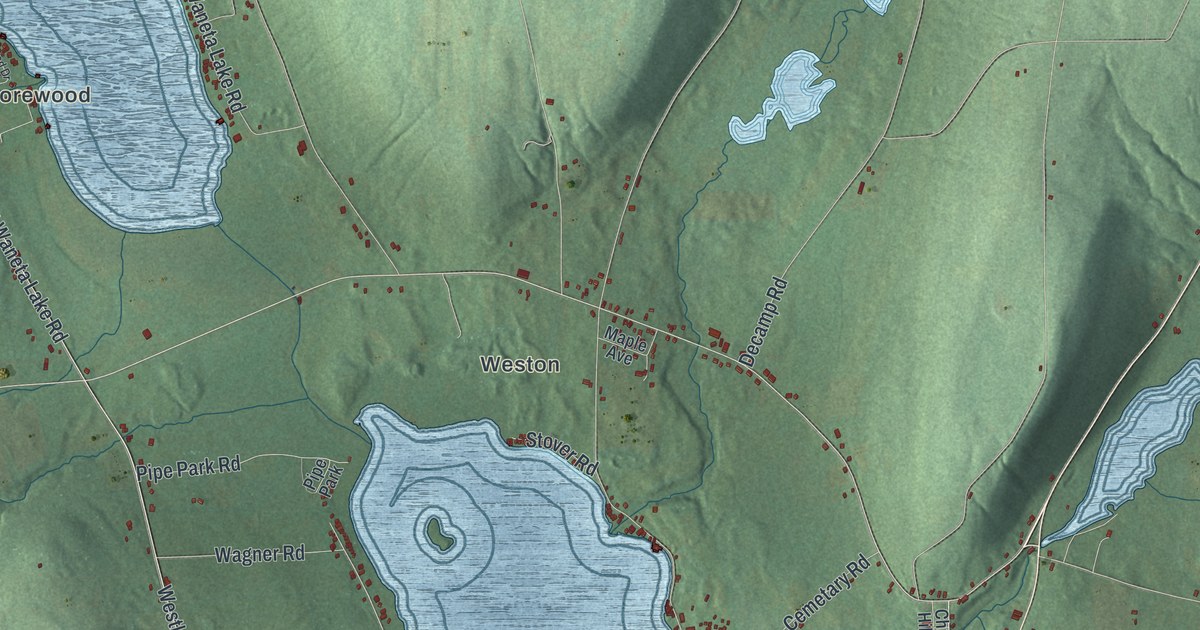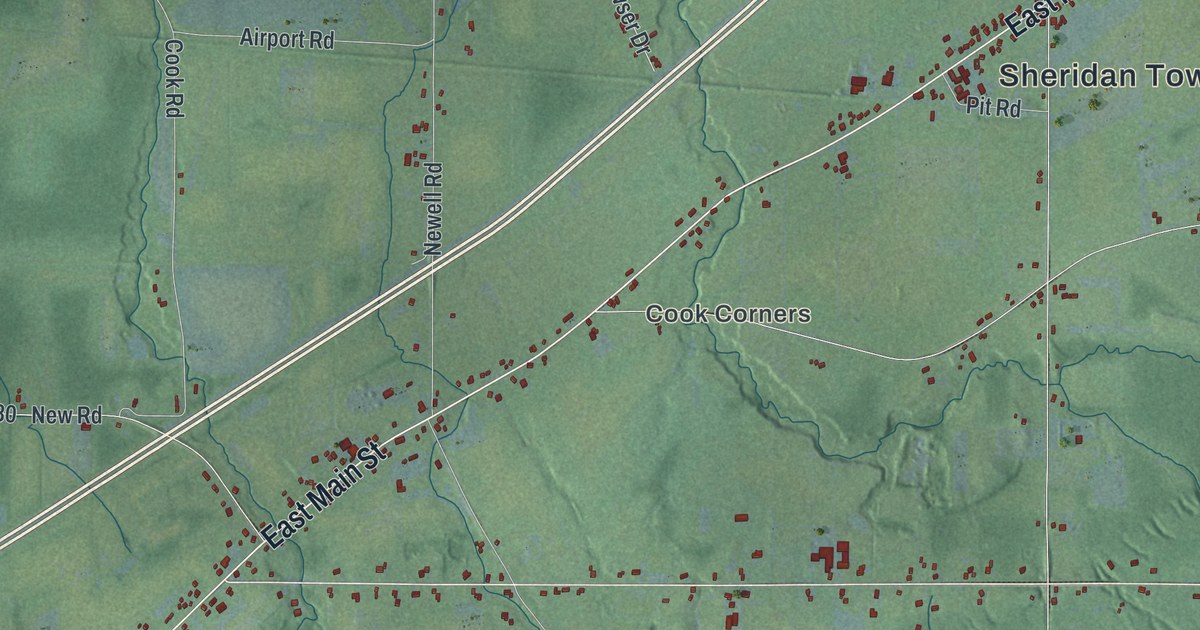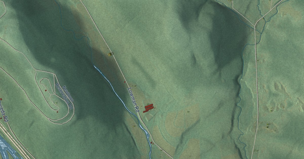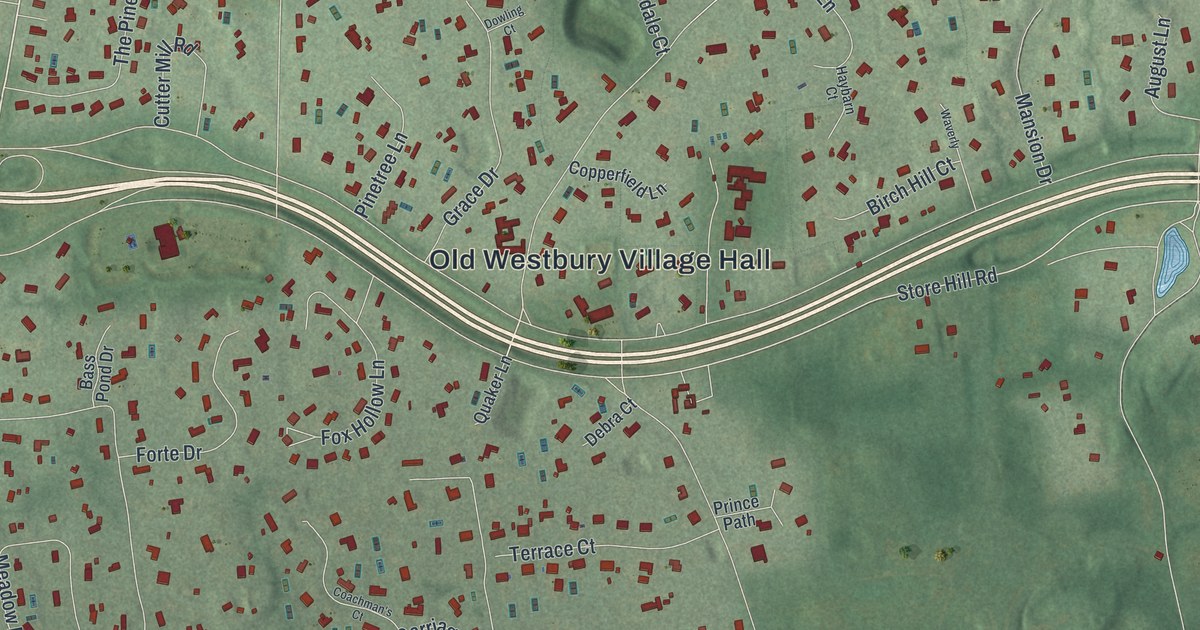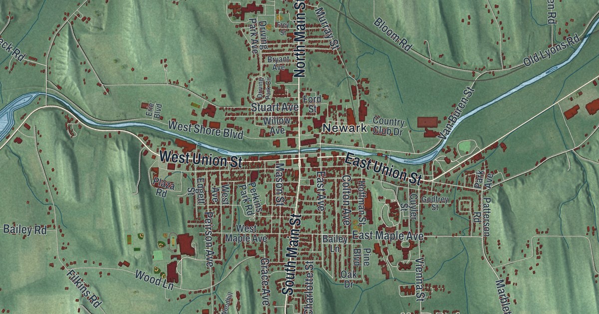
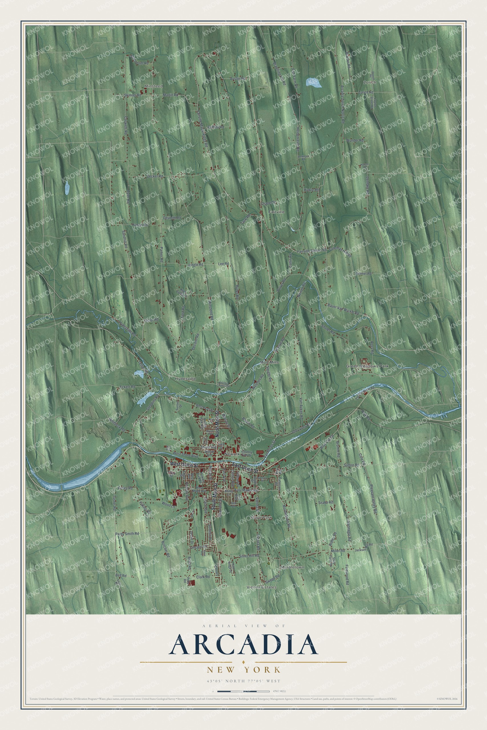
This beautifully detailed map of Arcadia, New York was created in 2026 using aerial imagery combined with modern topographical, census, street and landmark data. It’s a one-of-a-kind view of Arcadia that combines accurate data with a vintage aesthetic. The map shows every building in its true location, many of the roads carry their names, and the shaded topographic relief shows the shape of the land.
Explore an aerial view of Arcadia, New York
On the map you’ll find Zurich, Marbletown, Minsteed, Mayo Park, and Fairville, along with Main Street, Union Street, Blue Cut Road, Cole Road, Maple Avenue, and more. If you look closely you can even find your house accurately drawn in its correct location. Zoom in on the preview to look for yours.
Did You Know?
Arcadia was split off from the growing town of Lyons in 1825. Its hamlet of Hydesville was the hometown of the Fox Sisters, the spiritualists. In 1957, the Bergen Swamp Preservation Society bought Zurich Bog to keep it wild.
Take a closer look at the Arcadia map
Names on this map
These names are printed on this map.
Places: Vienna Estates, Zurich, Marbletown, Minsteed, Mayo Park, Fairville, Green Meadows Park, Hydesville, Mud Mills and Newark.
Streets and roads: North Main Street, West Union Street, South Main Street, East Union Street, Blue Cut Road, Cole Road, Pleasant Valley Road, East Maple Avenue, Tellier Road, Turner Road, Ford Road, Bell Road.
More street names, A to Z
Arcadia Zurich Norris Road, Austin Road, Bailey Lane, Bailey Road, Bauer Van Wickle Road, Bloom Road, Botcher Road, Bramer Road, Brantling Hill Road, Brumm Road, Bryant Avenue, Budd Road, Buffalo Road, Caluary Lane, Catlin Road, Cauwels Road, Chapel Street, Charlotte Street, Clark Road, Coleman Hill Road, Colton Avenue, Country Club Drive, County House Road, Cuyler Street, Daniel Way, Decann Road, Decker Road, Deneef Road, Desmith Road, Driving Park Avenue, Driving Park Circle, East Avenue, Eckert Road, Edgett Street, Emmel Road, Erie Boulevard, Fairville Maple Ridge Road, Fairville Station Road, Filkins Road, Finewood Road, Fink Road, Fisher Road, Fish Farm Road, Ford Street, Frey Street, Godfrey Street, Grace Avenue, Hartnagle Road, Heidenreich Road, Hinkle Road, Hoffman Street, Hydesville Road, Hyman Road, Jackson Hill Road, Jason Drive, Jungle Road, Layton Street Road, Lee Road, Lembke Road, Lincoln Road, Marbletown Road, Martin Road, Mason Street, Maxison Road, Miller Road, Minsteed Road, Murray Street, Norsen Road, Oak Drive, Old Lyons Road, Pardy Smith Road, Park Avenue, Parker Road, Patterson Road, Peirson Avenue, Pelis Road, Perkins Park Road, Pine Boulevard, Pine Ridge Drive, Pine Valley Drive, Plaza Road, Pulver Road, Ressue Road, Ridley Road, Ross Road, Ryder Road, Sandhill Road, Shuler Road, Silver Hill Road, Skinner Road, Sleight Road, Smith Road, Snake Road, State Farm Road, Stebbins Road, Steel Point Road, Stuart Avenue, Summit Drive, Sunset Drive, Sutton Road, Sweed Road, Tack Road, Tyler Road, Van Auken Road, Van Buren Street, Vienna Road, Vienna Street, Vollinger Road, Welcher Road, West Avenue, West Maple Avenue, West Pearl Street, West Shore Boulevard, Whitbeck Road, Whitings Corners Road, Willow Avenue, Woodhill, Wood Lane, Wunder Road, Zurich Road.
See it on a wall
The Arcadia map as a framed print. Swipe for more.


This beautifully detailed map of Arcadia makes an attractive addition to your office, library, or den, and it can even be used to teach children the geography and history of the area. It also makes a great gift for anyone who grew up in Arcadia or moved away. When you’re done exploring, click here to get your copy of the Arcadia map.