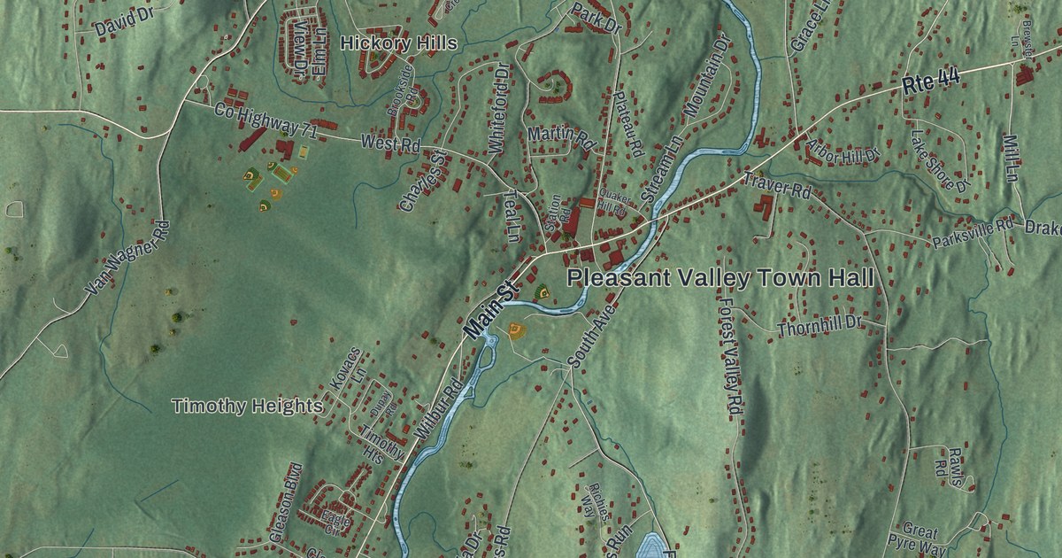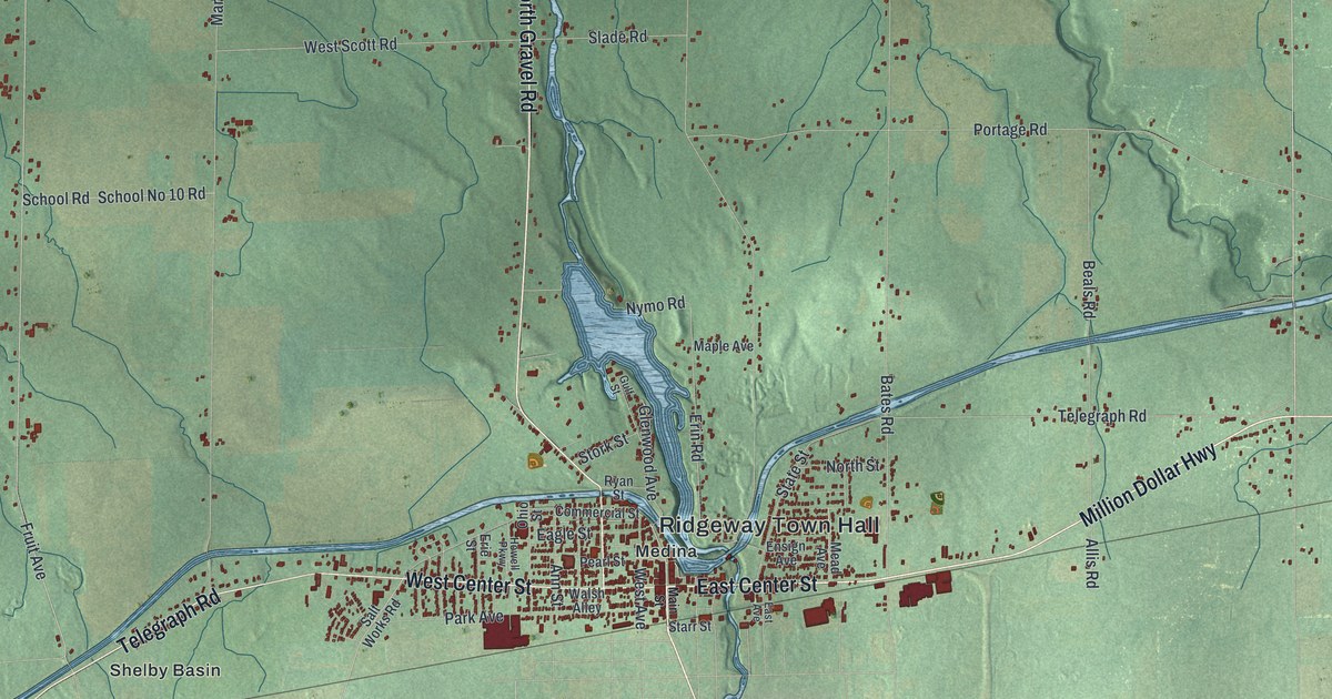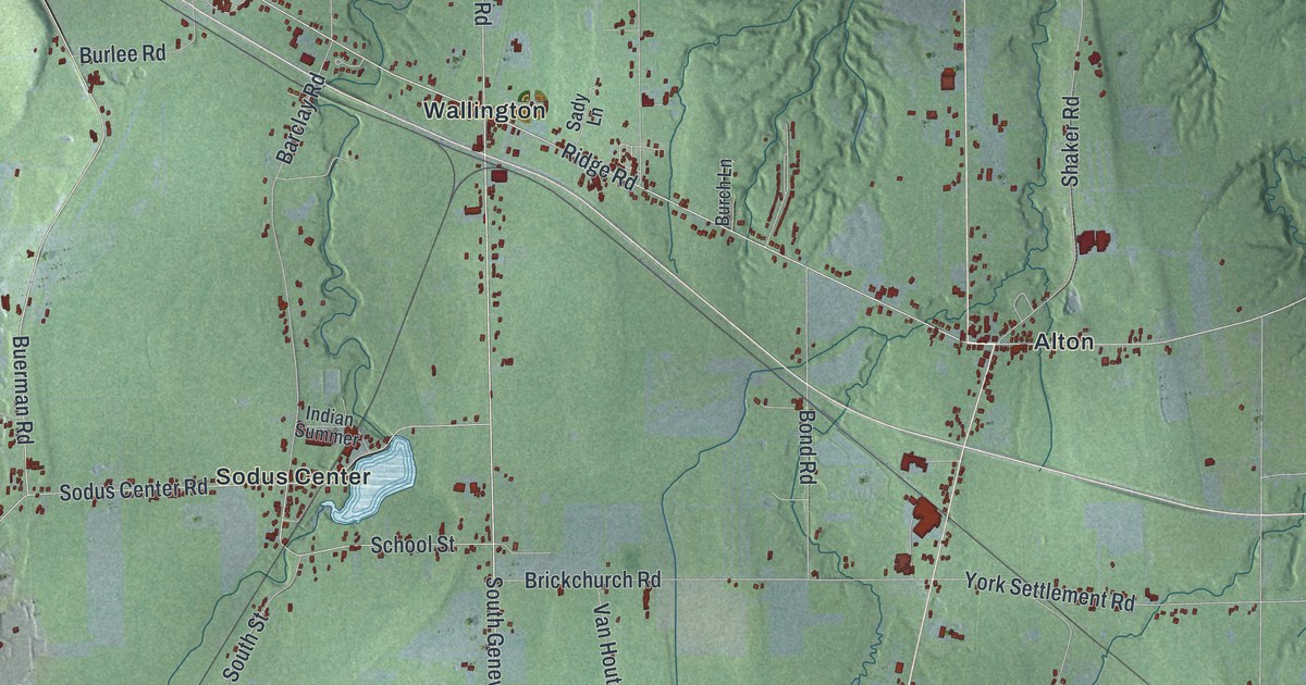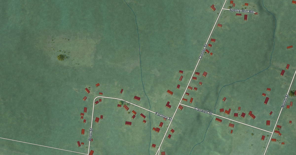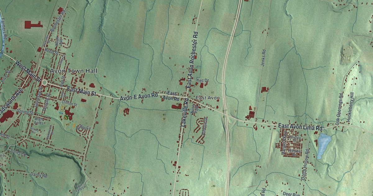
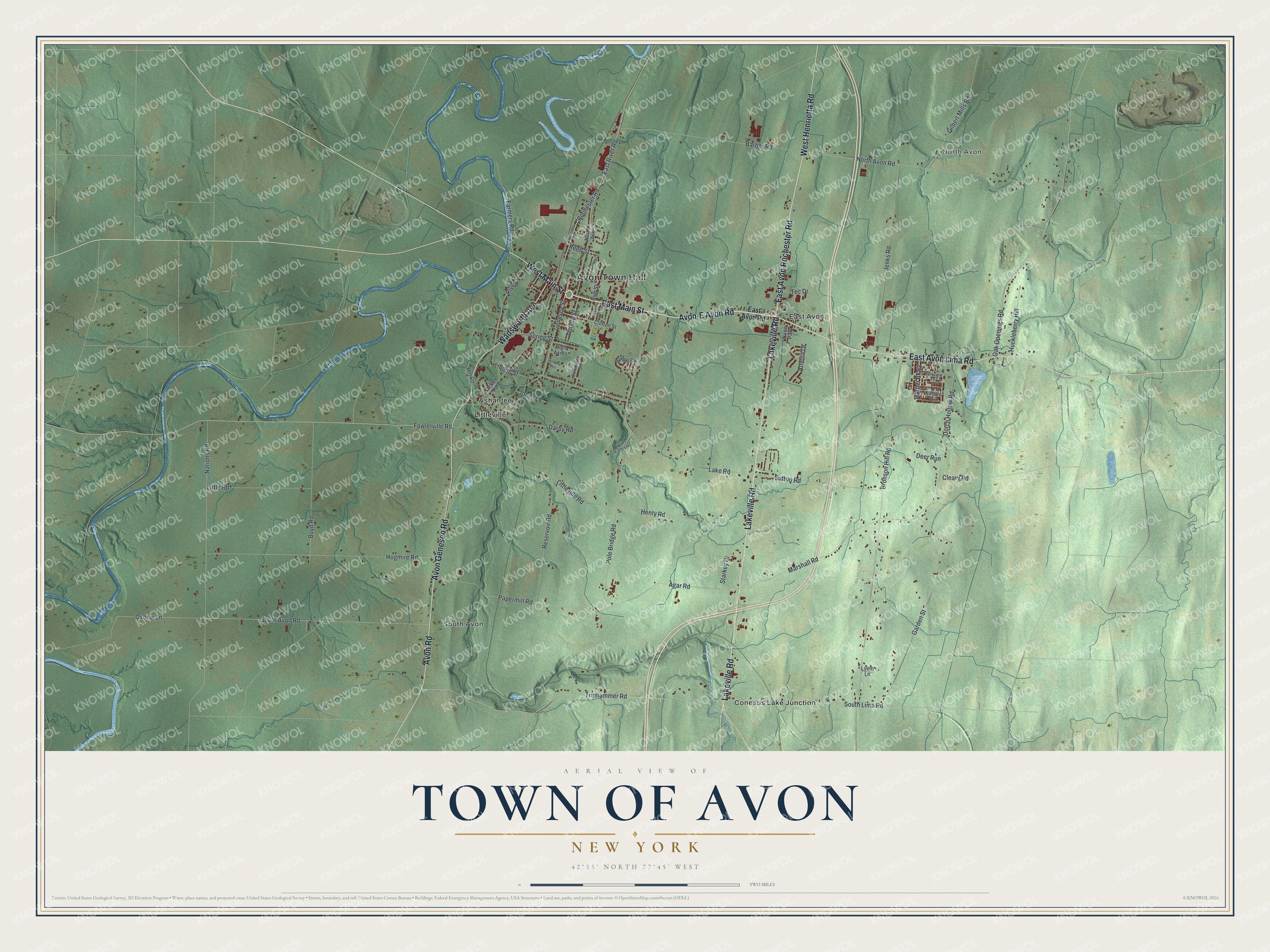
This beautifully detailed map of the Town of Avon, New York was created in 2026 using aerial imagery combined with modern topographical, census, street and landmark data. It’s a one-of-a-kind view of the Town of Avon that combines accurate data with a vintage aesthetic. The map shows every building in its true location, many of the roads carry their names, and the shaded topographic relief shows the shape of the land.
Explore an aerial view of the Town of Avon, New York
On the map you’ll find Avon Town Hall, North Avon, Ashantee, Conesus Lake Junction, East Avon, and Littleville, along with Lakeville Road, Avon-E Avon Road, Main Street, Avon Lima Road, and more. If you look closely you can even find your house accurately drawn in its correct location. Zoom in on the preview to look for yours.
Did You Know?
In 1789, Dr. Timothy Hosmer and other settlers from Hartford, Connecticut, bought land east of the Genesee River. They called it Hartford after their old home. In 1808 the name became Avon, after Avon, Connecticut, because another Hartford already existed in Washington County.
Take a closer look at the Town of Avon map
Names on this map
These names are printed on this map.
Places: Avon Town Hall, North Avon, Ashantee, Conesus Lake Junction, East Avon, Littleville, South Avon and Nune Park.
Streets and roads: Lakeville Road, Avon-E Avon Road, East Main Street, East Avon Lima Road, East Avon Rochester Road, West Henrietta Road, Avon Road, Wadsworth Avenue, Avon Geneseo Road, West Main Street, Pole Bridge Road, South Lima Road.
More street names, A to Z
Agar Road, Athena Drive, Barber Road, Boyd Road, Bridge Circle, Bronson Hill Road, Cleary Road, Clinton Street, Commerce Drive, Darby Road, Deer Run, Dutch Hollow Road, East Avon Road, East River Road, Farmers Road, Fowlerville Road, Garden Street, Genesee Street, Gilbert Mills Road, Harper Parkway, Henty Road, Hickory Hill, High Acres, High Street, Hillside Drive, Hogmire Road, Huckleberry Hill, Jenks Road, Jones Lane, Lacy Street, Lake Road, Linden Street, Little Road, Littleville Road, Lyeth Lane, Marshall Road, Mill Road, Nations Road, North Avenue, North Avon Road, Oak Openings Road, Oxbow Lane, Papermill Road, Parkview Drive, Reed Street, Reservoir Road, River Street, Rochester Road, Rochester Street, Sackett Road, South Avon Road, Spring Street, Starkey Drive, Sutton Road, Tec Drive, Temple Street, Triphammer Road, Twin Falls Lane, Valley Lane.
See it on a wall
The Avon map as a framed print. Swipe for more.


This beautifully detailed map of the Town of Avon makes an attractive addition to your office, library, or den, and it can even be used to teach children the geography and history of the area. It also makes a great gift for anyone who grew up in the Town of Avon or moved away. When you’re done exploring, click here to get your copy of the Town of Avon map.