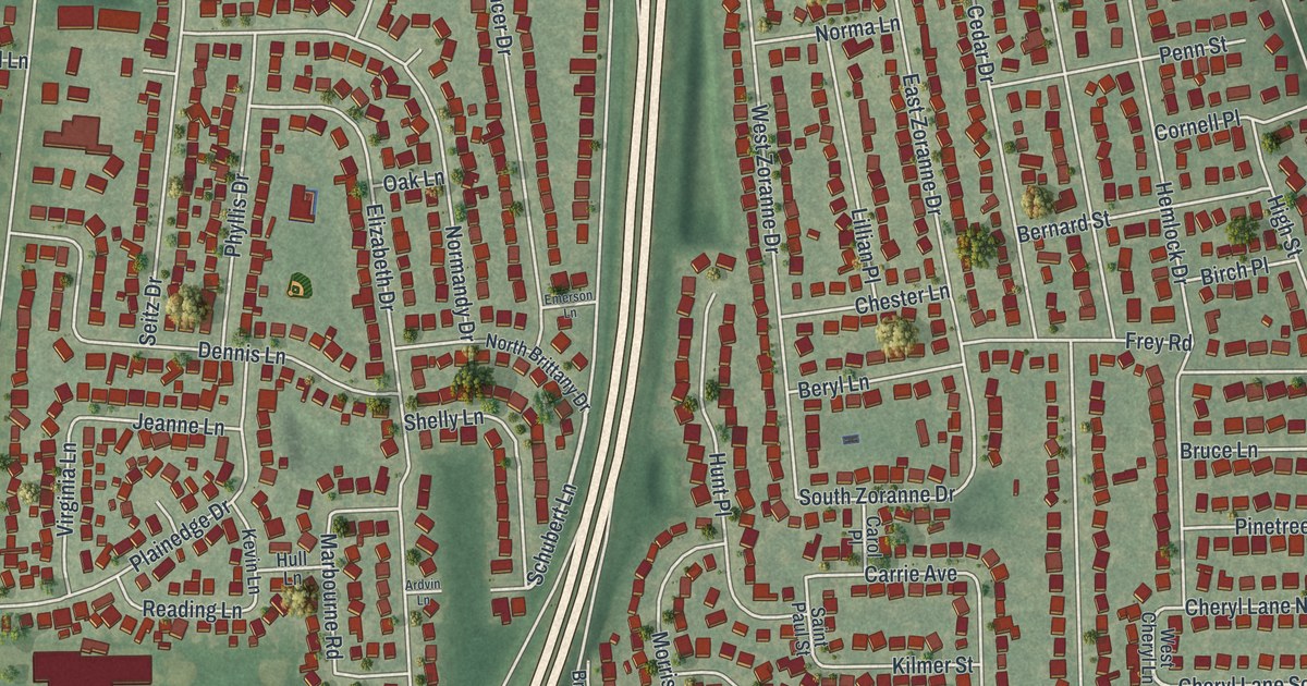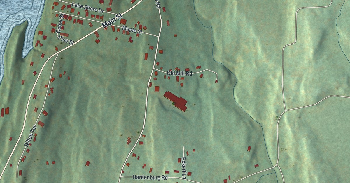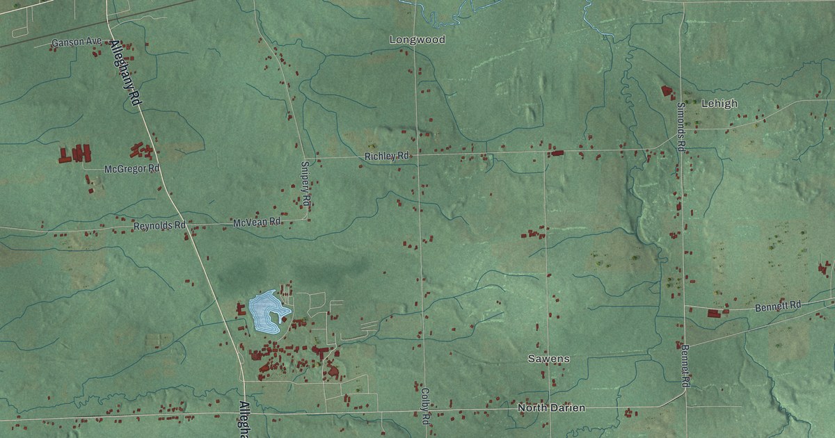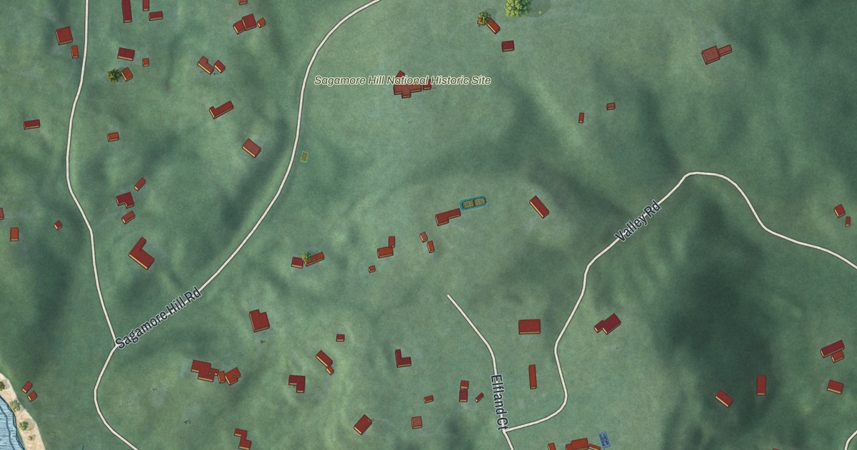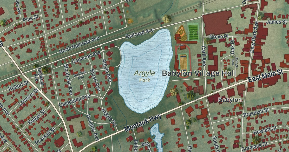
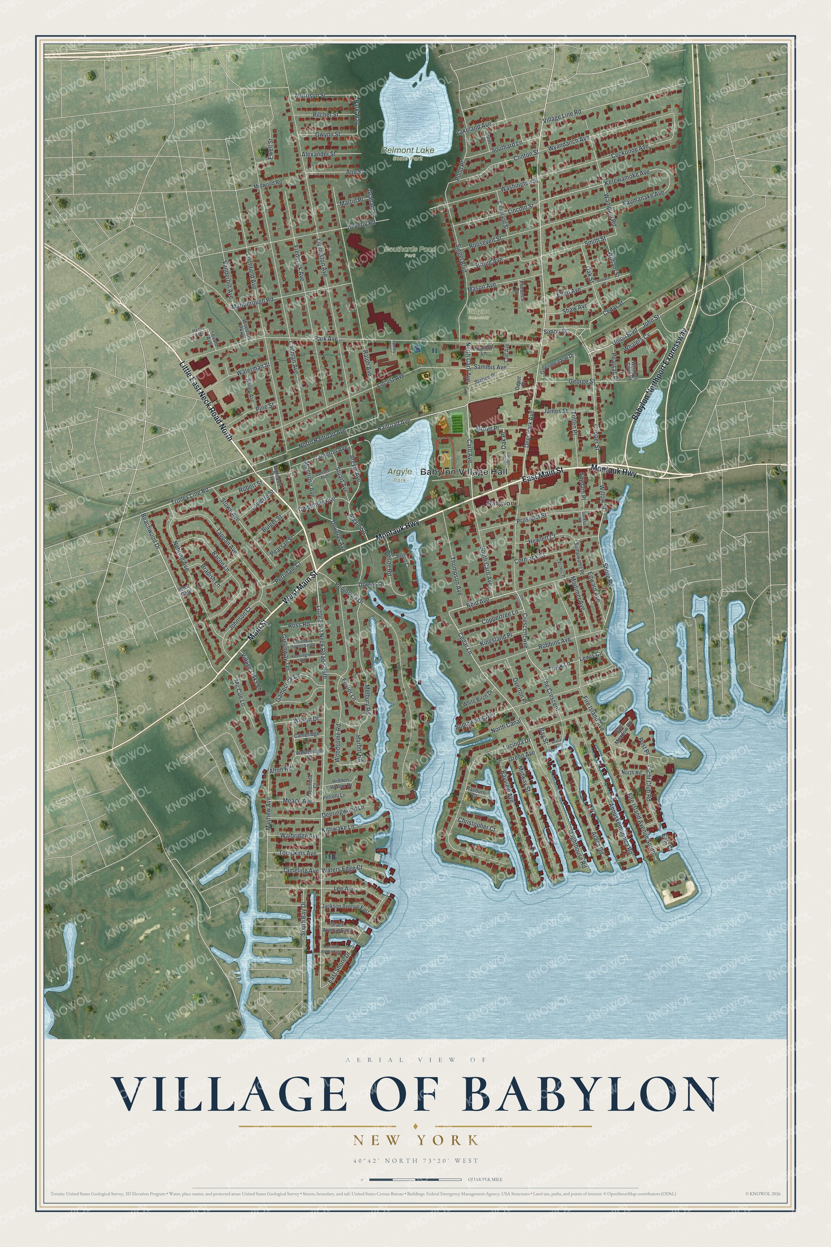
This beautifully detailed map of the Village of Babylon, New York was created in 2026 using aerial imagery combined with modern topographical, census, street and landmark data. It’s a one-of-a-kind view of the Village of Babylon that combines accurate data with a vintage aesthetic. The map shows every building in its true location, many of the roads carry their names, and the shaded topographic relief shows the shape of the land.
Explore an aerial view of the Village of Babylon, New York
On the map you’ll find Babylon Village Hall, Argyle Park, Belmont Lake State Park, and Southards Pond Park, along with Main Street, Little East Neck Road, Montauk Highway, Babylon Northport Expressway, and more. If you look closely you can even find your house accurately drawn in its correct location. Zoom in on the preview to look for yours.
Did You Know?
By 1803 a real community had grown here, and leading citizens wanted a new name. A Bible reader, Mrs. Conklin, compared the hamlet to the biblical city of Babylon. It had a bawdy name as a stop for south shore travelers. Her son Nat was appalled, but the name stuck.
Take a closer look at the Village of Babylon map
Names on this map
These names are printed on this map.
Places: Babylon Village Hall, Argyle Park, Belmont Lake State Park, Southards Pond Park, Babylon Cemetery and Babylon.
Streets and roads: West Main Street, Little East Neck Road North, East Main Street, Montauk Highway, Babylon Northport Expressway, Main Street, Deer Park Avenue, Beachwood Drive, Reid Avenue, Little East Neck Road South, Trolley Line Road, Cedar Lane.
More street names, A to Z
Alexander Street, Alton Road, Ann Street, Annuskemunnica Road, Araca Court, Araca Road, Argyle Avenue, Argyle Square, Bacon Lane, Bailey Avenue, Bay Street, Bayview Avenue, Belton Court, Belton Road, Beverly Road, Bradish Lane, Bulger Street, Cadman Avenue, Caledonia Avenue, Cambridge Drive, Cameron Avenue, Carll Avenue, Cedar Street, Christopher Court, Cleveland Street, Clinton Street, Cockonoe Avenue, Colt Avenue, Cooper Street, Coppertree Lane, Cormack Court, Cottage Row, Crescent Avenue, Deerfield Court, Deeringwood Lane, Depot Place, Dorset Lane, Douglas Avenue, Dundee Avenue, East Court, East Shore Drive, Edward Avenue, Ellen Avenue, Ernest Place, Ewell Street, Fire Island Avenue, Fire Island Avenue South, Florence Court, Foster Lane, Frederick Avenue, Friendly Court, Gamecock Lane, George Street, Graham Place, Grant Avenue East, Green Avenue, Greenmeadow Drive, Greenway Street South, Greenway Terrace, Grove Place, Gwynn Street, Haab Avenue, Harbor Road, Harrison Avenue East, Hewlett Court, Hidden Harbor Drive, Highland Avenue, Howard Street, Jackson Avenue East, Jackson Road, James Street, Johnson Court, John Street, Kensington Road, Ketewamoke Avenue, Kingsland Place, Kittiwake Lane, Lakeland Avenue, Lee Avenue, Levant Avenue, Lewis Circle, Lighthouse Road, Lincoln Street, Litchfield Avenue, Livingston Avenue, Locust Avenue, Lowerre Street, Lucinda Drive, Marlborough Road, Martin Place, Mason Avenue, Mayhew Avenue, Mc Cue Lane, Meade Avenue, Melbury Road, Midway Street, Midwood Road, Montrose Avenue, Morrison Street, Mortimer Avenue, Nehring Avenue, North Canal, North Carll Avenue, North Railroad Avenue, North Road, Oak Place, Oak Street, Overton Place, Park Avenue, Park Way, Paumanake Avenue, Pearsall Place, Pearsall Street, Peninsula Drive, Perridale Court, Petrelli Lane, Pilcher Street, Pine Street, Pond Place, Post Place, Prospect Street, Raeburn Court, Railroad Avenue, Ralph Avenue, Robbins Avenue, Robert Street, Roosevelt Street, Rosebud Lane, Ross Road, Salt Meadow Road, Sammis Avenue, Shaw Avenue, Shore Road, Siegel Boulevard, Simon Street, Smith Street, Southard Lane, South Bay Drive, South Carll Avenue, Station Place, Stowe Avenue, Strong Avenue, Stuart Avenue, Sumpwams Avenue, Sumpwams Place, Surdi Place, Suydam Place, Tameling Avenue, Tappan Avenue, The Crescent, The Cresent, Thompson Avenue, Tompkins Avenue, Totten Place, Trask Lane, Union Boulevard, Vanderbilt Avenue, Village Line Road, Village Oaks Lane, Walbridge Avenue, Wampum Road, Washington Street, Waterman Street, Waters Edge Court, Westbridge Drive, West Gate, Whalers Cove Drive, Whalers Cv, White Birch Drive, William Street, Willow Street, Wilson Drive, Woodrow Parkway, Woodsome Road, Wyandanch Avenue, Yacht Club Road.
See it on a wall
The Babylon map as a framed print. Swipe for more.


This beautifully detailed map of the Village of Babylon makes an attractive addition to your office, library, or den, and it can even be used to teach children the geography and history of the area. It also makes a great gift for someone who left the Village of Babylon and still calls it home. When you’re done exploring, click here to get your copy of the Village of Babylon map.