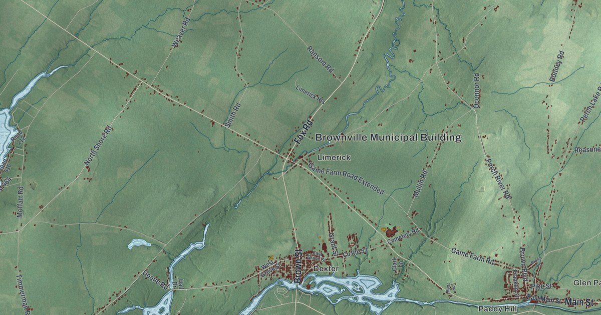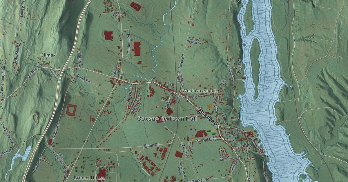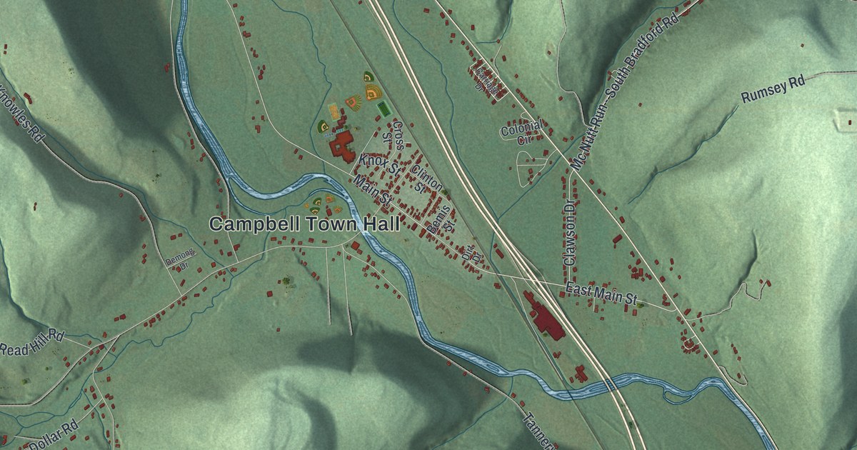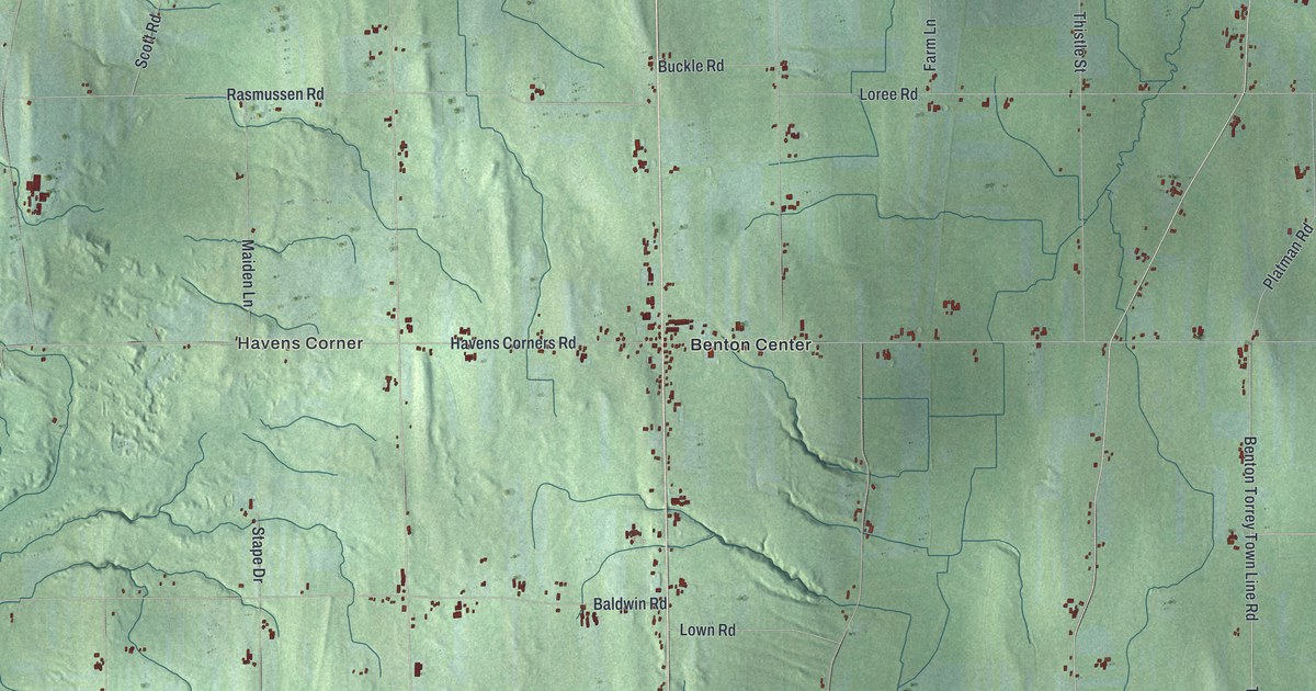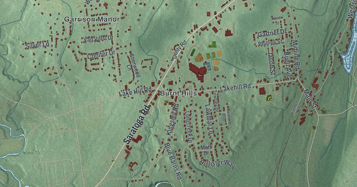
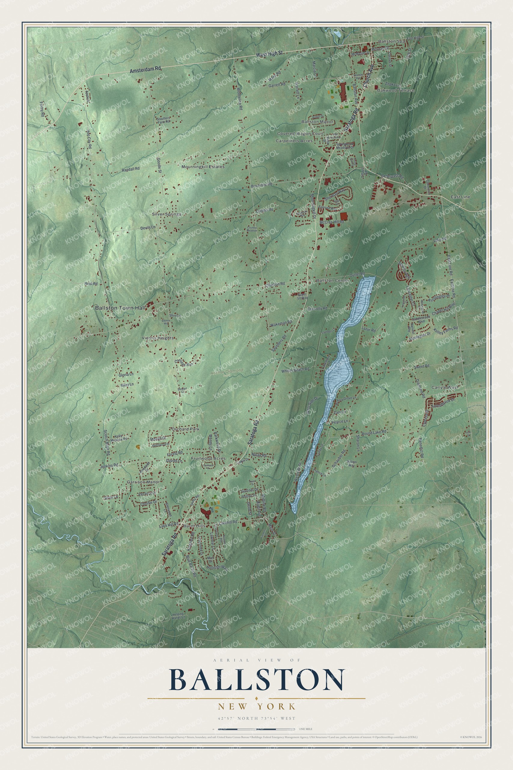
This beautifully detailed map of Ballston, New York was created in 2026 using aerial imagery combined with modern topographical, census, street and landmark data. It’s a one-of-a-kind view of Ballston that combines accurate data with a vintage aesthetic. The map shows every building in its true location, many of the roads carry their names, and the shaded topographic relief shows the shape of the land.
Explore an aerial view of Ballston, New York
On the map you’ll find Ballston Town Hall, Ballston Center, Ballston Spa, Burnt Hills, Carlyle West, Carpenters Acres, and Anchor Diamond Park, along with Amsterdam Road, High Street, Church Avenue, Saratoga Road, and more. If you look closely you can even find your house accurately drawn in its correct location. Zoom in on the preview to look for yours.
Did You Know?
Ballston is named for Rev. Eliphalet Ball, a Presbyterian minister from Westchester County. He bought the land from the McDonald brothers and called it Ball’s Town. He also paid them one barrel of rum to earn the naming rights. The name later shrank to Ballston.
Take a closer look at the Ballston map
Names on this map
These names are printed on this map.
Places: Ballston Town Hall, Anchor Diamond Park, Ballston Center, Ballston Manor, Ballston Spa, Burnt Hills, Carlyle West, Carpenters Acres, Covered Wagon Court, East Line, Fruitwood Acres, Garrison Manor, Mourningkill Estates, Oakwood Terrace, Orchard Park, Silver Springs and Vienna Heights.
Streets and roads: Amsterdam Road, West High Street, Church Avenue, Saratoga Road, Main Street, Schauber Road, Lakehill Road, Round Lake Road, Connolly Road, East Line Road, Conifer Drive, Wendy Lane.
More street names, A to Z
American Way, Apple Street, Ballston Avenue, Beechwood Drive, Benedict Road, Blue Barns Road, Brookline Road, Buell Avenue, Carriage Run, Catallo Road, Chapel Hill Boulevard, Charlton Road, Chester Street, Commerce Drive, Country Meadow, Cypress Street, Davids Lane, Denty Road, Devils Lane, Diamond Road, East High Street, Eastline Road, Everson Way, Finley Road, Firemens Lane, Forestbrook Drive, Forest Road, France Lane, Fruitwood Drive, Garrett Lane, Garrett Road, Gartner Drive, Gloria Lane, Goode Street, Harvest Way, Helping Hands Lane, Hickory Grove Lane, Hollister Way, Hop City Road, Jacob Street, Jenkins Road, Jovan Court, Kelley Farms Road, Kelly Meadow Road, Kingsbridge Court, Kingsley Road, Knottingley Place, Lake Hill Road, Lake Road, Lakeshore Avenue, Lancaster Court, Larkin Drive, Lawmar Lane, Lazur Road, Leah Court, Longcreek Drive, Lundy Lane, Mann Road, Marcia Lane, Marlyn Drive, McCrea Hill Road, McLean Street, McMaster Street, Middleline Road, Midline Road, Mott Drive, Mourningkill Drive, Nolan Road, North Street, Oak Street, Outlet Road, Parkwood Drive, Pearce Lane, Phillips Street, Pine Grove Avenue, Randall Road, Reita Street, Riley Lane, Robert Drive, Rolling Brook Drive, Root Road, Roseland Boulevard, Saddlebrook Boulevard, Saunders Lane, Saunders Road, Scotch Bush Road, Sharon Lane, Sherman Way, Sherwood Lane, Shire Lane, Silver Lane, Springwood Meadows Drive, Stablegate Drive, Staulters Farm Road, Stewart Court, Stonebridge, Super 50 Way, Sweet Road, Thomas Avenue, Tiffault Road, Townley Drive, Underpass Road, Van Vorst Drive, Wakeman Road, Westside Drive, West Side Drive, Whites Beach Road, Willem Way, Winchester Drive, Woodside Drive, Zani Lane, Zepko Lane.
See it on a wall
The Ballston map as a framed print. Swipe for more.


This beautifully detailed map of Ballston makes an attractive addition to your office, library, or den, and it can even be used to teach children the geography and history of the area. It also makes a great gift for someone who left Ballston and still calls it home. When you’re done exploring, click here to get your copy of the Ballston map.